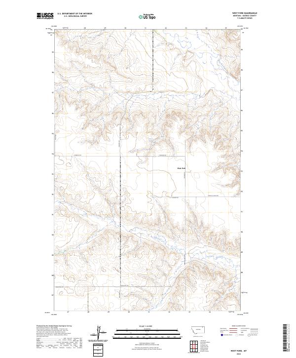
2024 Map of West Fork
USGS Topo · Published 2024About this map
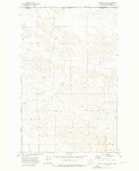
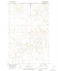
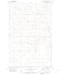
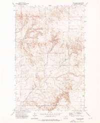
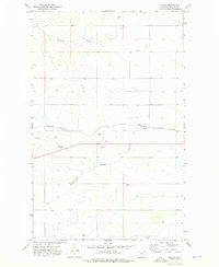
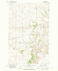
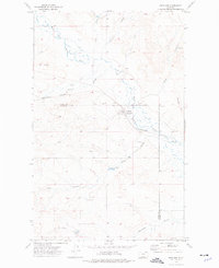
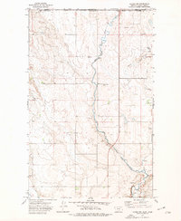
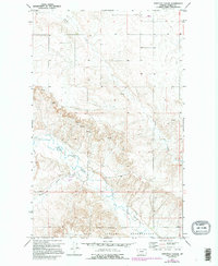
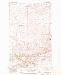
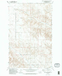
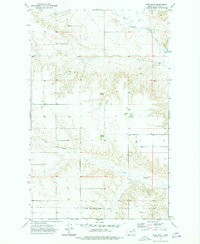
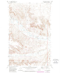
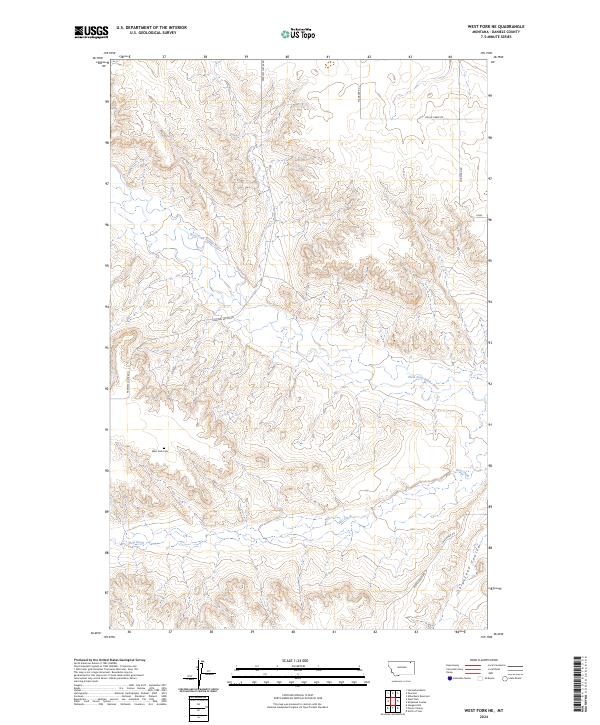
West Fork sits at a remote crossroad in Daniels County, where the high plains of Northeast Montana are carved by a network of seasonal drainages. The landscape is defined by the winding course of the West Fork Poplar River in the northeast and the branching tributaries of Hell Creek to the south. This area is a patchwork of section lines and isolated homestead access, with water sources like Walters Spring serving as vital landmarks in an otherwise arid environment.
Find a feature on this map
18 named features on this map. Tap any name to fly to it.
Don’t see what you’re looking for? This feature index may not catch every label — zoom into the map to look around manually.
Map Details
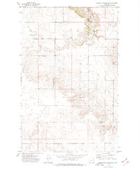
Editions of this 2024 West Fork Map
This is the sole edition of this map. No revisions or reprints were ever made.
Historical Maps of Oswego District Through Time
46 maps found
1973 Brockway Spring
Daniels County, MT
1973 Cabarett Coulee
Daniels County, MT
1973 Carbert
Daniels County, MT
1973 Flaherty Coulee
Daniels County, MT
1973 Four Buttes
Daniels County, MT
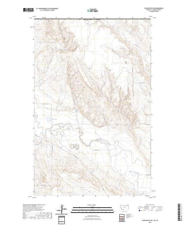
1973 Four Buttes NE
Daniels County, MT
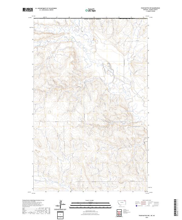
1973 Four Buttes NW
Daniels County, MT
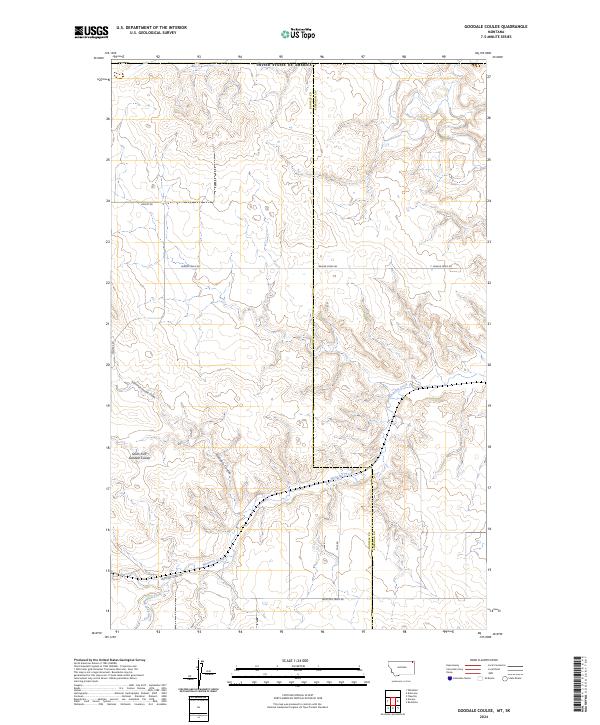
1973 Goodale Coulee
Daniels County, MT

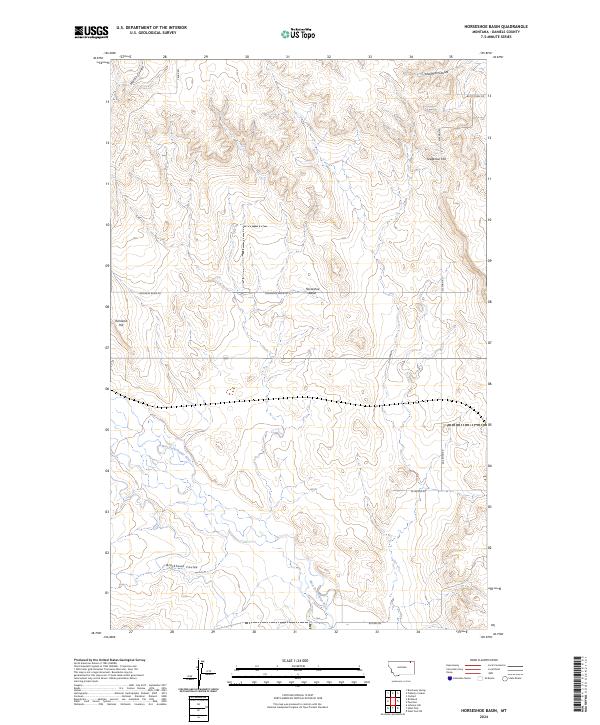
1973 Horseshoe Basin
Daniels County, MT
1973 Killenbeck Reservoir
Daniels County, MT
1973 Line Coulee
Daniels County, MT
1973 Madoc
Daniels County, MT
1973 Navajo
Daniels County, MT
1973 Pleasant Prairie NE
Daniels County, MT
1973 Pleasant Prairie NW
Daniels County, MT
1973 Poplar Coulee
Daniels County, MT
1973 Richland
Daniels County, MT
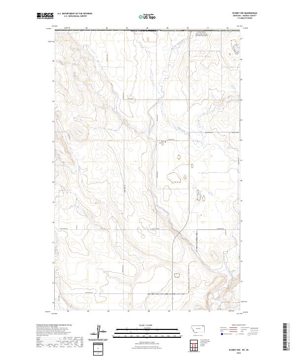
1973 Scobey NW
Daniels County, MT
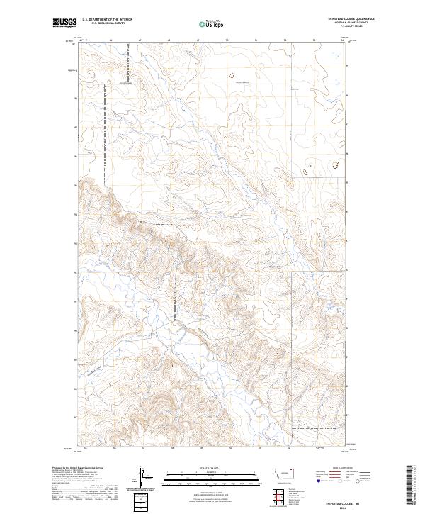
1973 Shipstead Coulee
Daniels County, MT
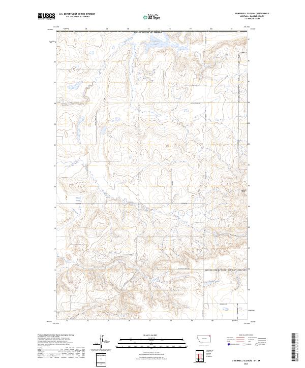
1973 Si Merrell Slough
Daniels County, MT
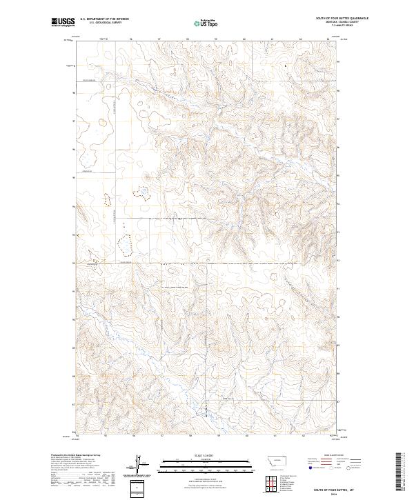
1973 South of Four Buttes
Daniels County, MT
1973 West Fork
Daniels County, MT
1973 West Fork NE
Daniels County, MT
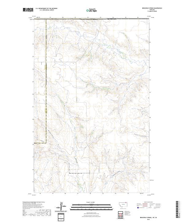
2024 Brockway Spring
Daniels County, MT
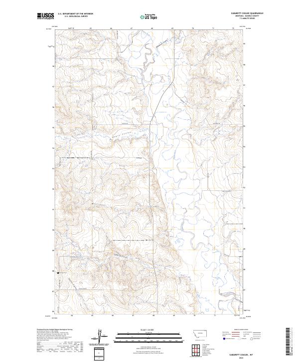
2024 Cabarett Coulee
Daniels County, MT
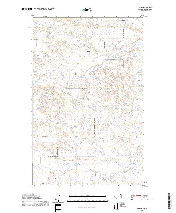
2024 Carbert
Daniels County, MT
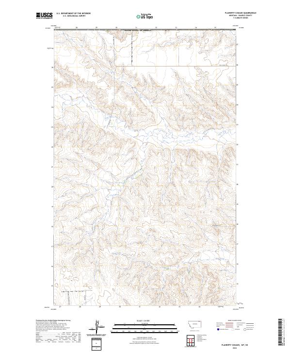
2024 Flaherty Coulee
Daniels County, MT
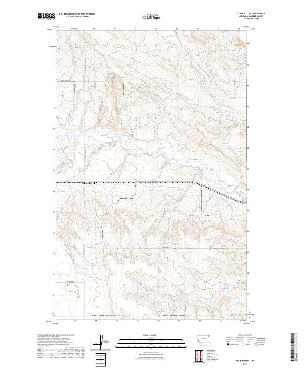
2024 Four Buttes
Daniels County, MT
2024 Four Buttes NE
Daniels County, MT
2024 Four Buttes NW
Daniels County, MT
2024 Goodale Coulee
Daniels County, MT
2024 Horseshoe Basin
Daniels County, MT
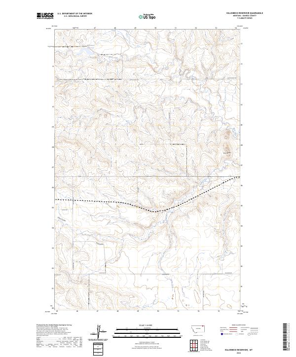
2024 Killenbeck Reservoir
Daniels County, MT
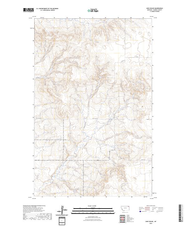
2024 Line Coulee
Daniels County, MT
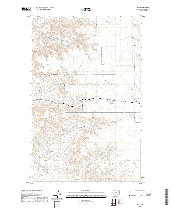
2024 Madoc
Daniels County, MT
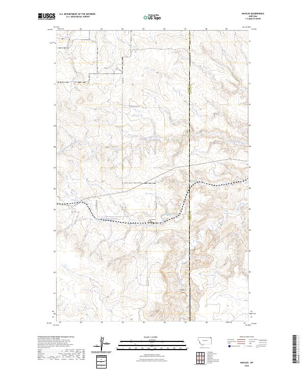
2024 Navajo
Daniels County, MT
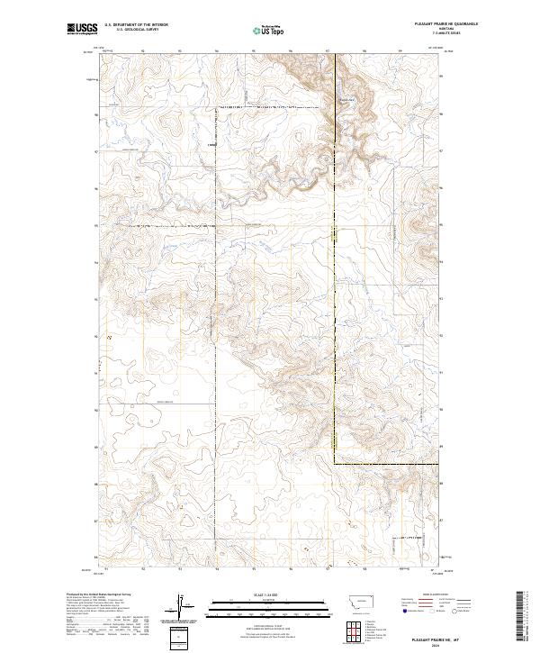
2024 Pleasant Prairie NE
Daniels County, MT
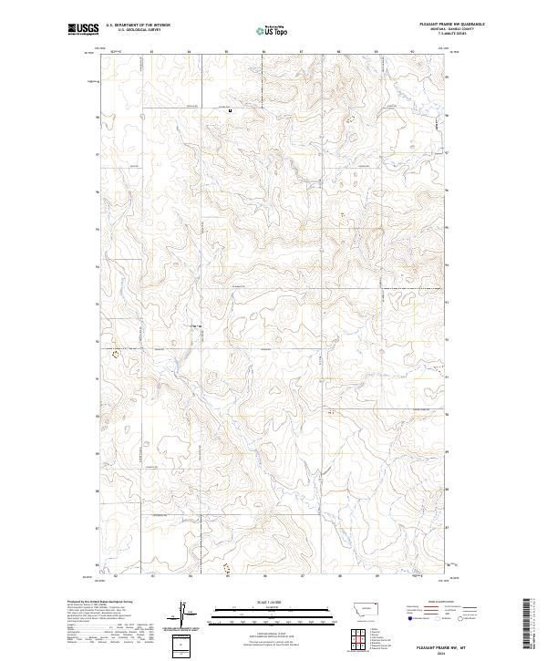
2024 Pleasant Prairie NW
Daniels County, MT
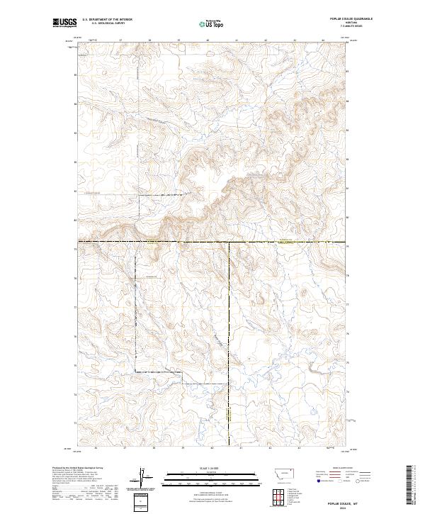
2024 Poplar Coulee
Daniels County, MT
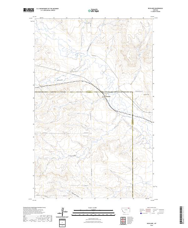
2024 Richland
Daniels County, MT
2024 Scobey NW
Daniels County, MT
2024 Shipstead Coulee
Daniels County, MT
2024 Si Merrell Slough
Daniels County, MT
2024 South of Four Buttes
Daniels County, MT
2024 West Fork
Daniels County, MT
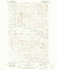
2024 West Fork NE
Daniels County, MT