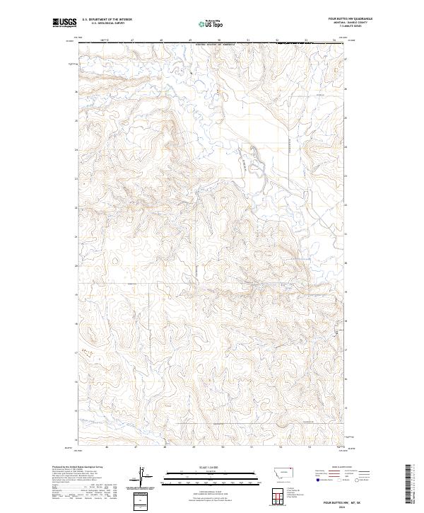
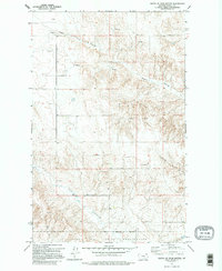
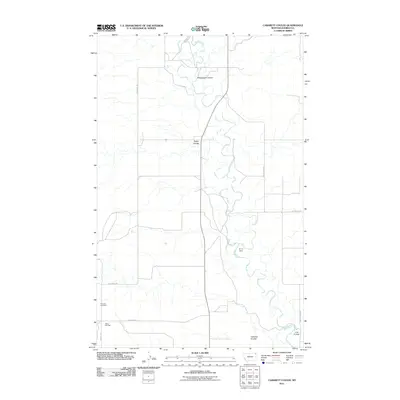
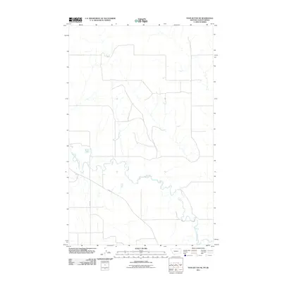
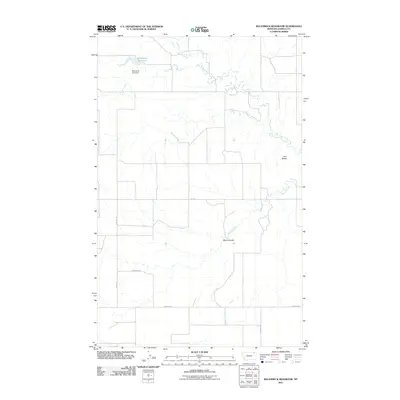
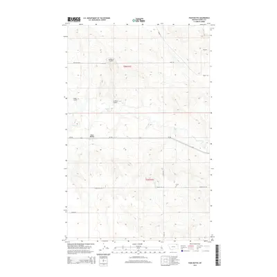
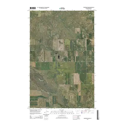
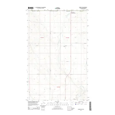
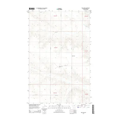
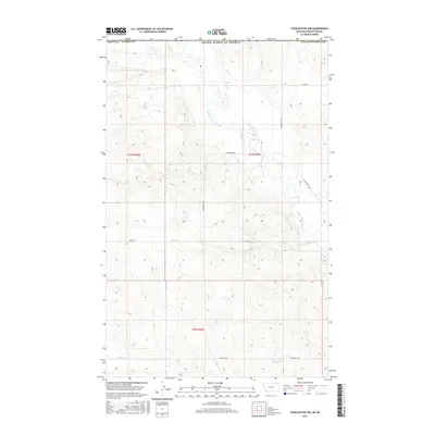
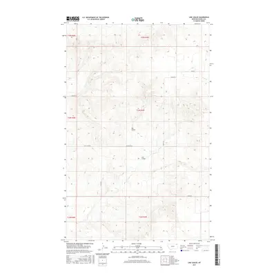
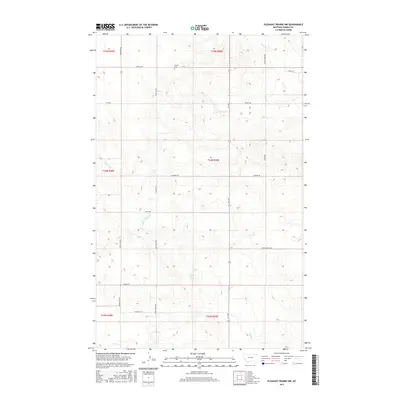
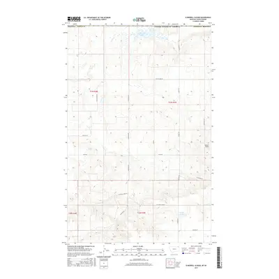
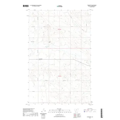
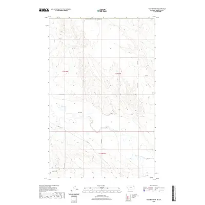
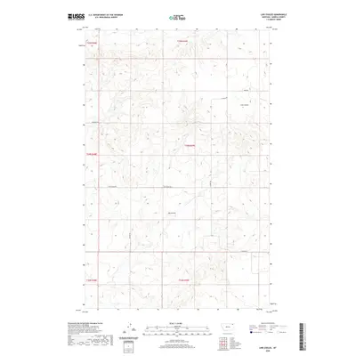
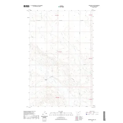
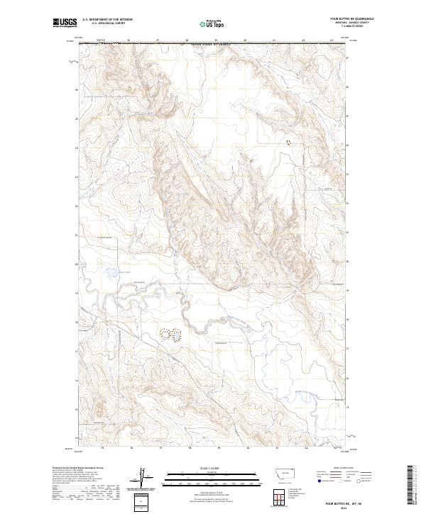
2024 Map of Four Buttes NW
USGS Topo · Published 2024About this map
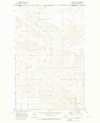
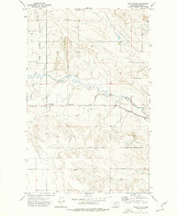
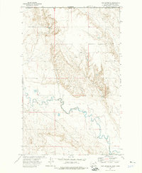
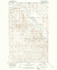
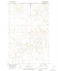
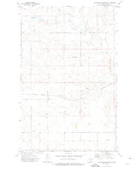
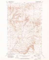
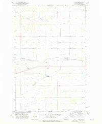
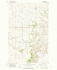
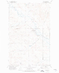
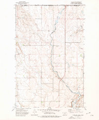
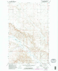
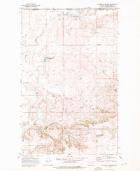
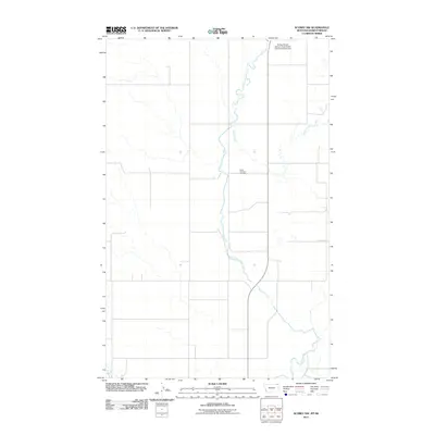
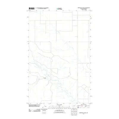
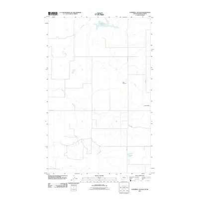
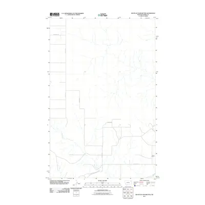
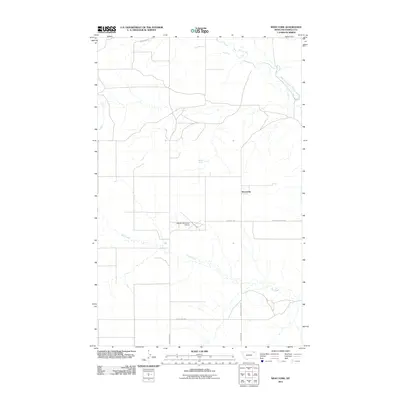
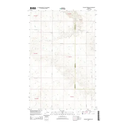
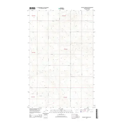
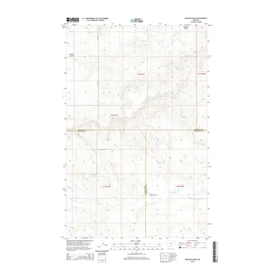
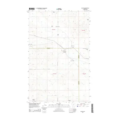
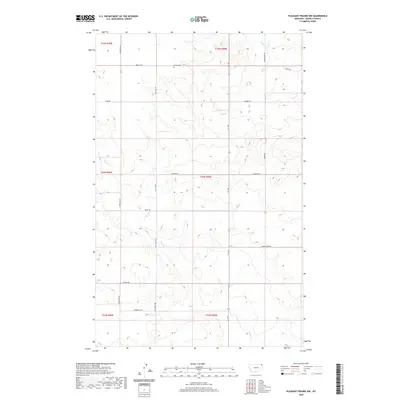
The Middle Fork Poplar River carves a central path through this section of Daniels County, Montana, just south of the border with the United States of America. This landscape is defined by the dendritic drainage patterns of Goose Creek, Coal Creek, and Butte Creek, which feed into the larger river system across a series of ridges and coulees.
Find a feature on this map
15 named features on this map. Tap any name to fly to it.
Don’t see what you’re looking for? This feature index may not catch every label — zoom into the map to look around manually.
Map Details
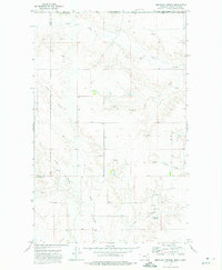
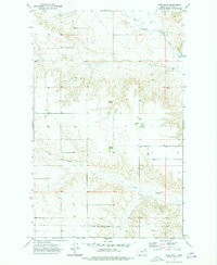
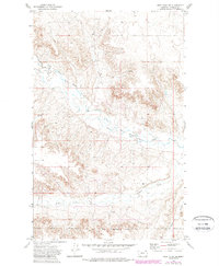
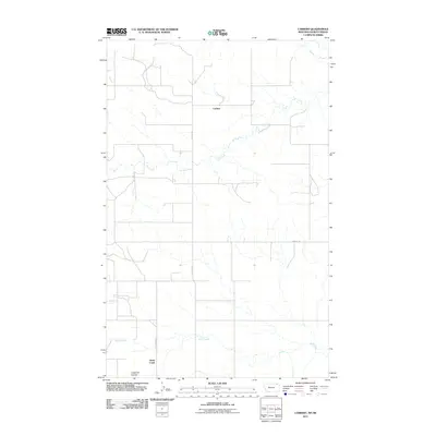
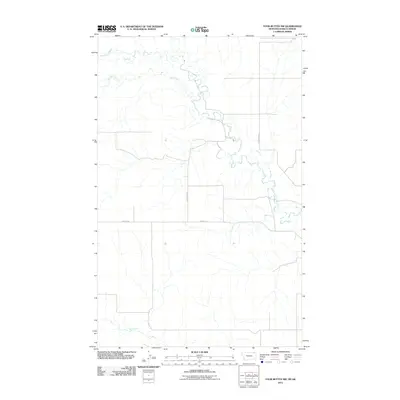
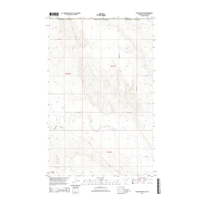
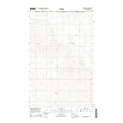
Editions of this 2024 Four Buttes NW Map
This is the sole edition of this map. No revisions or reprints were ever made.
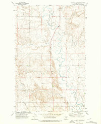
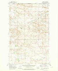
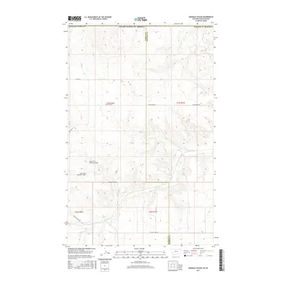
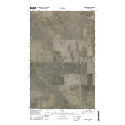
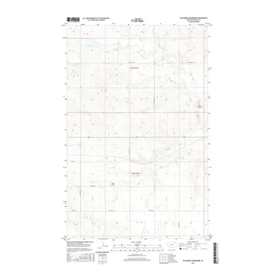
Historical Maps of United States Through Time
138 maps found
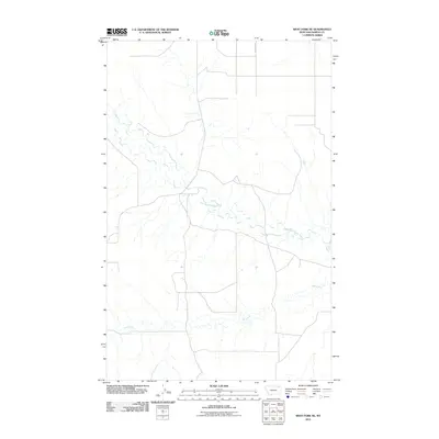
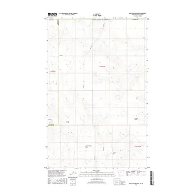
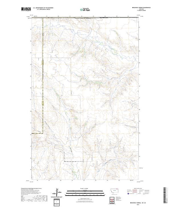
1973 Brockway Spring
Daniels County, MT
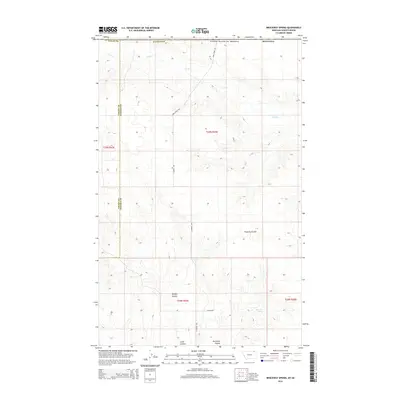
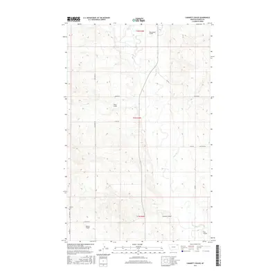
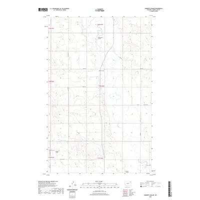
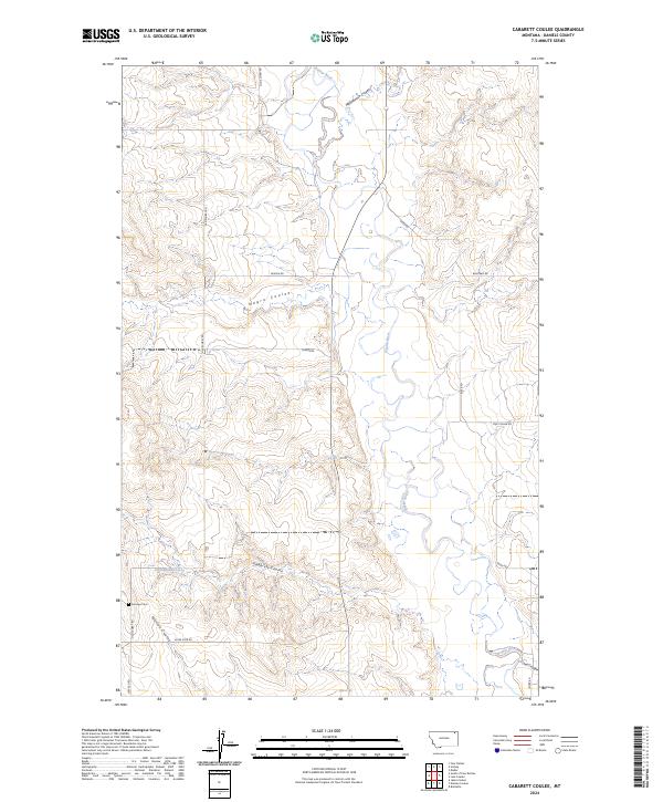
1973 Cabarett Coulee
Daniels County, MT
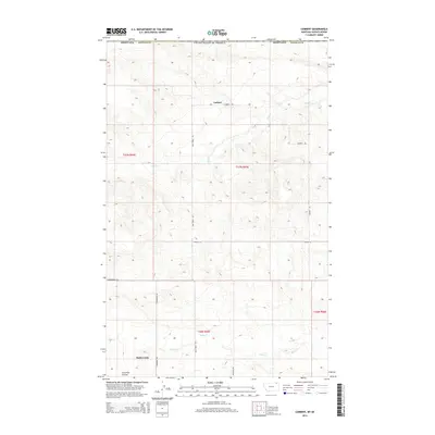
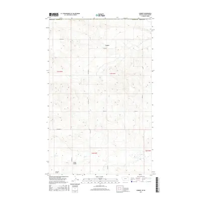
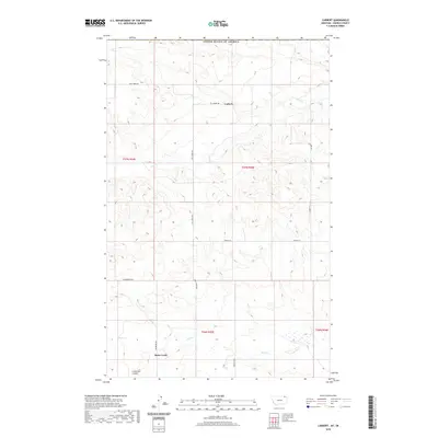
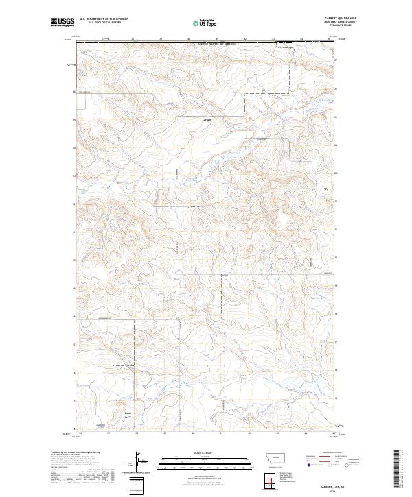
1973 Carbert
Daniels County, MT
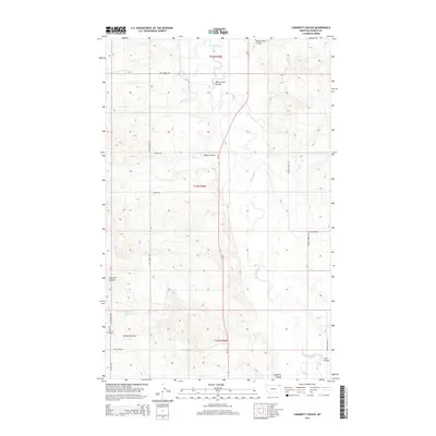
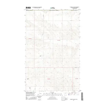
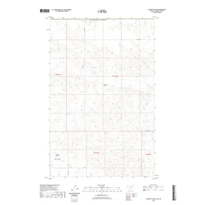
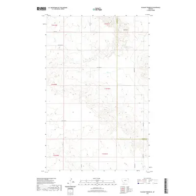
1973 Flaherty Coulee
Daniels County, MT
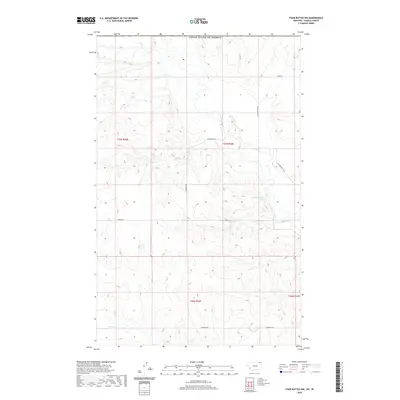
1973 Four Buttes
Daniels County, MT
1973 Four Buttes NE
Daniels County, MT
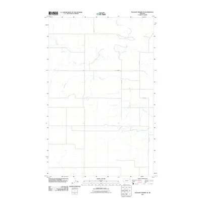
1973 Four Buttes NW
Daniels County, MT
1973 Goodale Coulee
Daniels County, MT

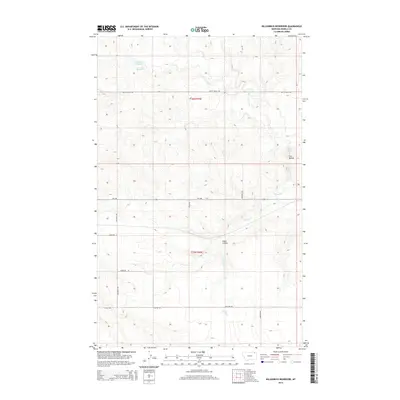
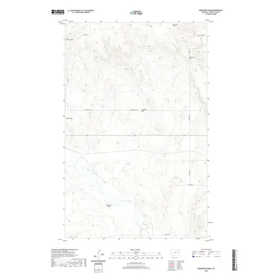
1973 Horseshoe Basin
Daniels County, MT
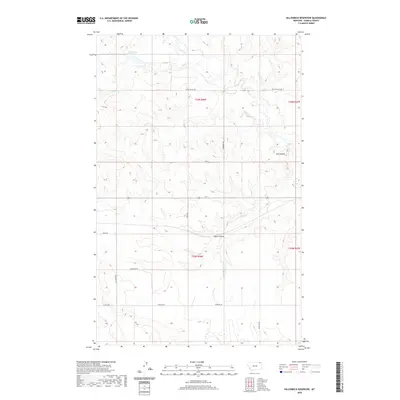
1973 Killenbeck Reservoir
Daniels County, MT
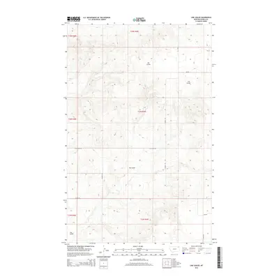
1973 Line Coulee
Daniels County, MT
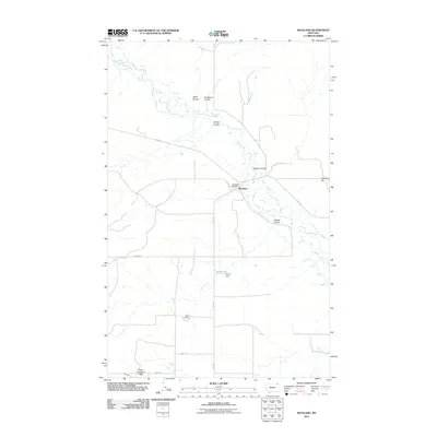
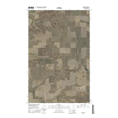
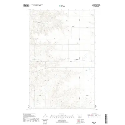
1973 Madoc
Daniels County, MT
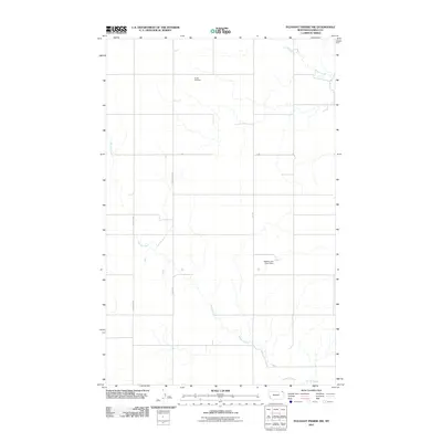
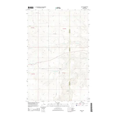
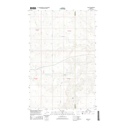
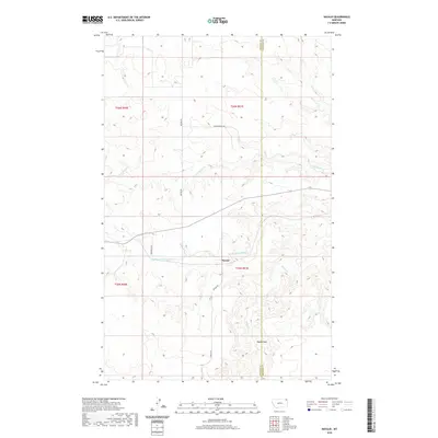
1973 Navajo
Daniels County, MT
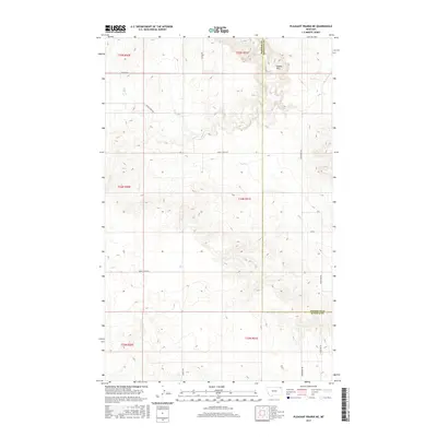
1973 Pleasant Prairie NE
Daniels County, MT
1973 Pleasant Prairie NW
Daniels County, MT
1973 Poplar Coulee
Daniels County, MT
1973 Richland
Daniels County, MT
1973 Scobey NW
Daniels County, MT
1973 Shipstead Coulee
Daniels County, MT
1973 Si Merrell Slough
Daniels County, MT
1973 South of Four Buttes
Daniels County, MT
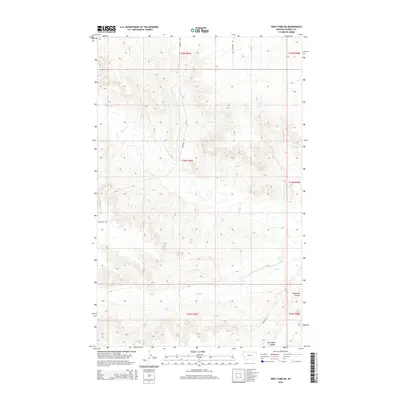
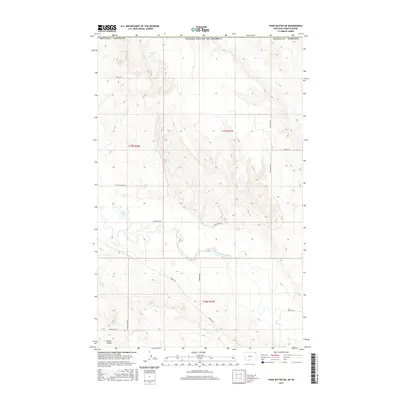
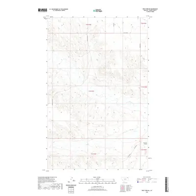
1973 West Fork
Daniels County, MT
1973 West Fork NE
Daniels County, MT
2011 Brockway Spring
Daniels County, MT
2011 Cabarett Coulee
Daniels County, MT
2011 Carbert
Daniels County, MT
2011 Flaherty Coulee
Daniels County, MT
2011 Four Buttes
Daniels County, MT
2011 Four Buttes NE
Daniels County, MT
2011 Four Buttes NW
Daniels County, MT
2011 Goodale Coulee
Daniels County, MT
2011 Horseshoe Basin
Daniels County, MT
2011 Killenbeck Reservoir
Daniels County, MT
2011 Line Coulee
Daniels County, MT
2011 Madoc
Daniels County, MT
2011 Navajo
Daniels County, MT
2011 Pleasant Prairie NE
Daniels County, MT
2011 Pleasant Prairie NW
Daniels County, MT

2011 Poplar Coulee
Daniels County, MT
2011 Richland
Daniels County, MT
2011 Scobey NW
Daniels County, MT
2011 Shipstead Coulee
Daniels County, MT
2011 Si Merrell Slough
Daniels County, MT
2011 South of Four Buttes
Daniels County, MT
2011 West Fork
Daniels County, MT
2011 West Fork NE
Daniels County, MT
2014 Brockway Spring
Daniels County, MT
2014 Cabarett Coulee
Daniels County, MT
2014 Carbert
Daniels County, MT

2014 Flaherty Coulee
Daniels County, MT
2014 Four Buttes
Daniels County, MT
2014 Four Buttes NE
Daniels County, MT
2014 Four Buttes NW
Daniels County, MT
2014 Goodale Coulee
Daniels County, MT
2014 Horseshoe Basin
Daniels County, MT
2014 Killenbeck Reservoir
Daniels County, MT
2014 Line Coulee
Daniels County, MT

2014 Madoc
Daniels County, MT
2014 Navajo
Daniels County, MT
2014 Pleasant Prairie NE
Daniels County, MT
2014 Pleasant Prairie NW
Daniels County, MT
2014 Poplar Coulee
Daniels County, MT
2014 Richland
Daniels County, MT
2014 Scobey NW
Daniels County, MT
2014 Shipstead Coulee
Daniels County, MT
2014 Si Merrell Slough
Daniels County, MT
2014 South of Four Buttes
Daniels County, MT
2014 West Fork
Daniels County, MT
2014 West Fork NE
Daniels County, MT
2017 Brockway Spring
Daniels County, MT
2017 Cabarett Coulee
Daniels County, MT
2017 Carbert
Daniels County, MT
2017 Flaherty Coulee
Daniels County, MT
2017 Four Buttes
Daniels County, MT
2017 Four Buttes NE
Daniels County, MT
2017 Four Buttes NW
Daniels County, MT
2017 Goodale Coulee
Daniels County, MT
2017 Horseshoe Basin
Daniels County, MT
2017 Killenbeck Reservoir
Daniels County, MT
2017 Line Coulee
Daniels County, MT
2017 Madoc
Daniels County, MT
2017 Navajo
Daniels County, MT
2017 Pleasant Prairie NE
Daniels County, MT
2017 Pleasant Prairie NW
Daniels County, MT
2017 Poplar Coulee
Daniels County, MT
2017 Richland
Daniels County, MT

2017 Scobey NW
Daniels County, MT
2017 Shipstead Coulee
Daniels County, MT
2017 Si Merrell Slough
Daniels County, MT

2017 South of Four Buttes
Daniels County, MT
2017 West Fork
Daniels County, MT
2017 West Fork NE
Daniels County, MT
2020 Brockway Spring
Daniels County, MT
2020 Cabarett Coulee
Daniels County, MT
2020 Carbert
Daniels County, MT
2020 Flaherty Coulee
Daniels County, MT
2020 Four Buttes
Daniels County, MT
2020 Four Buttes NE
Daniels County, MT
2020 Four Buttes NW
Daniels County, MT

2020 Goodale Coulee
Daniels County, MT
2020 Horseshoe Basin
Daniels County, MT
2020 Killenbeck Reservoir
Daniels County, MT
2020 Line Coulee
Daniels County, MT
2020 Madoc
Daniels County, MT
2020 Navajo
Daniels County, MT
2020 Pleasant Prairie NE
Daniels County, MT
2020 Pleasant Prairie NW
Daniels County, MT
2020 Poplar Coulee
Daniels County, MT
2020 Richland
Daniels County, MT
2020 Scobey NW
Daniels County, MT
2020 Shipstead Coulee
Daniels County, MT
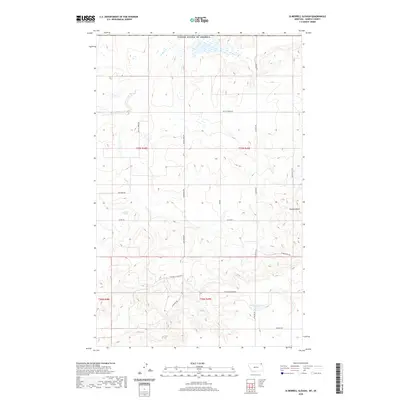
2020 Si Merrell Slough
Daniels County, MT
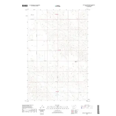
2020 South of Four Buttes
Daniels County, MT
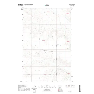
2020 West Fork
Daniels County, MT
2020 West Fork NE
Daniels County, MT
2024 Brockway Spring
Daniels County, MT
2024 Cabarett Coulee
Daniels County, MT
2024 Carbert
Daniels County, MT
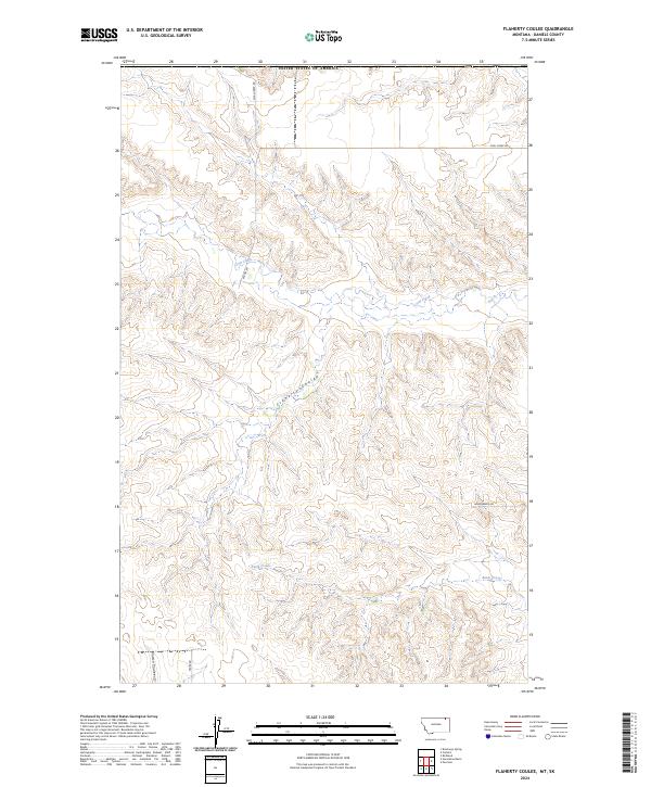
2024 Flaherty Coulee
Daniels County, MT
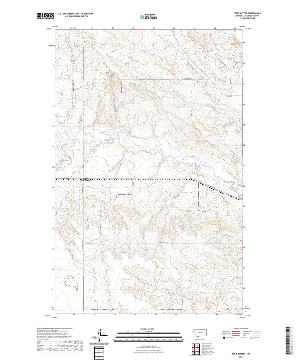
2024 Four Buttes
Daniels County, MT
2024 Four Buttes NE
Daniels County, MT
2024 Four Buttes NW
Daniels County, MT
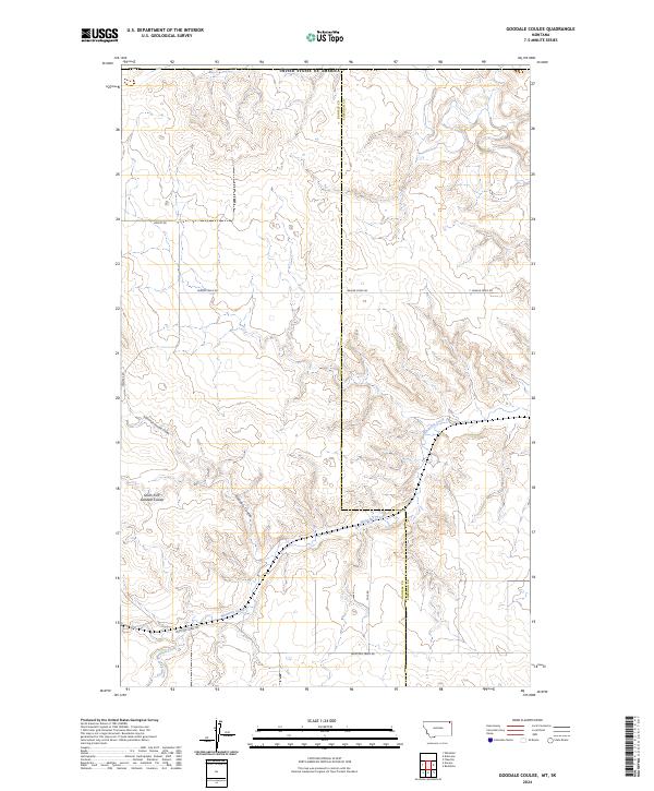
2024 Goodale Coulee
Daniels County, MT
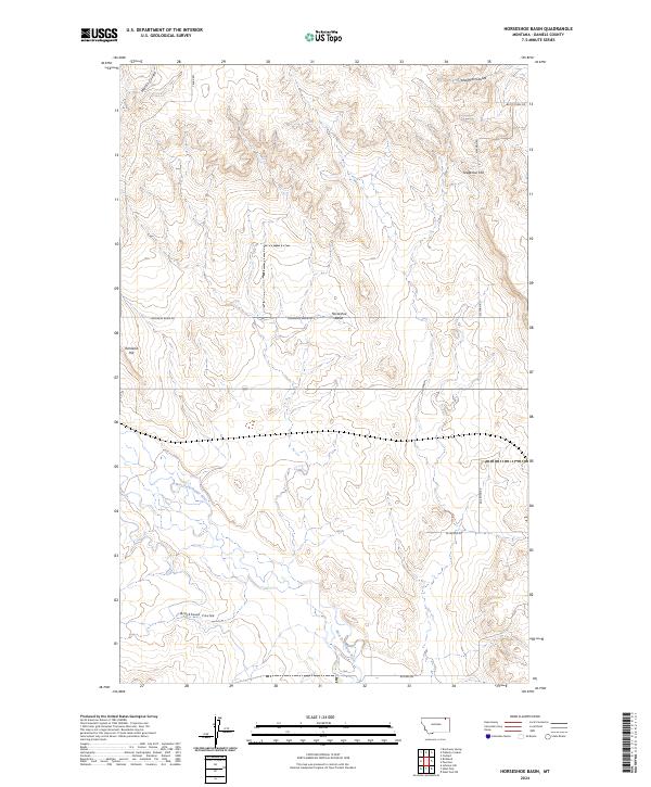
2024 Horseshoe Basin
Daniels County, MT
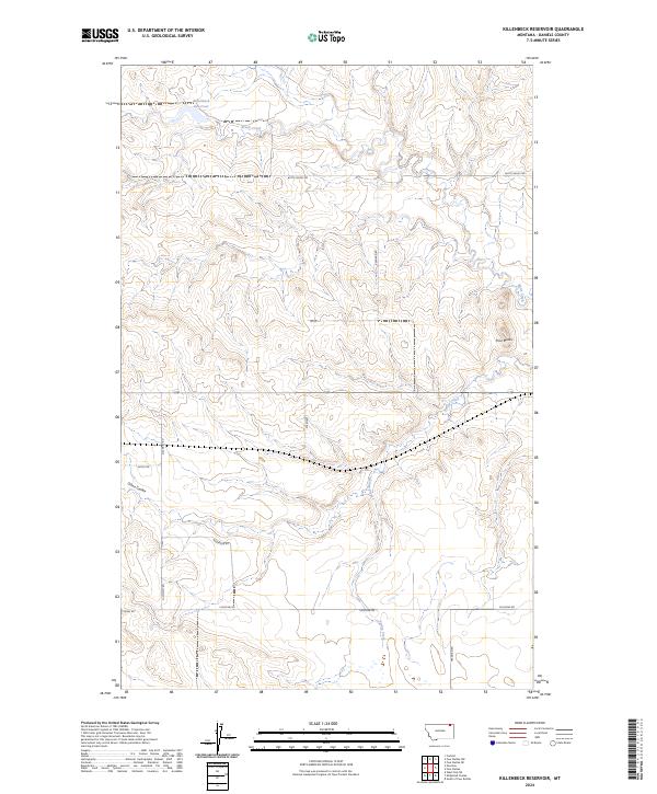
2024 Killenbeck Reservoir
Daniels County, MT
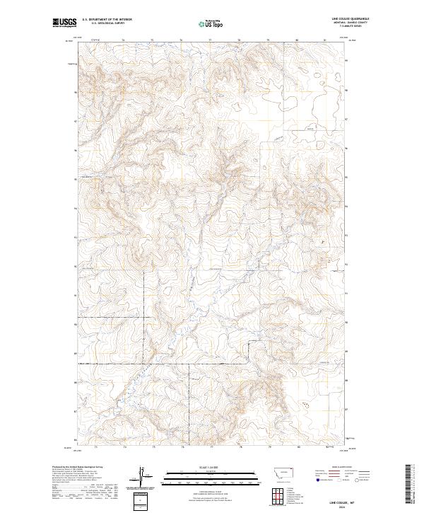
2024 Line Coulee
Daniels County, MT
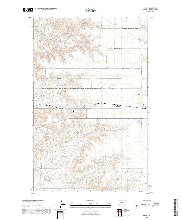
2024 Madoc
Daniels County, MT
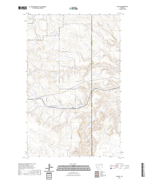
2024 Navajo
Daniels County, MT
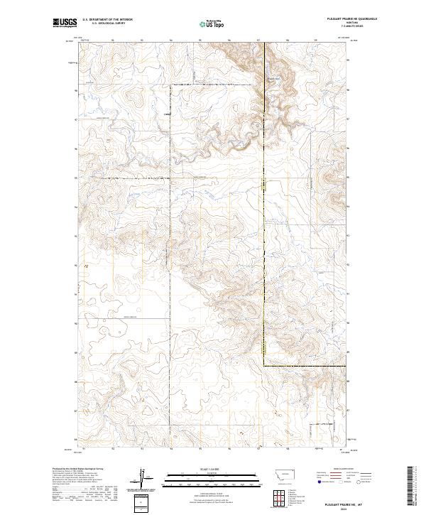
2024 Pleasant Prairie NE
Daniels County, MT
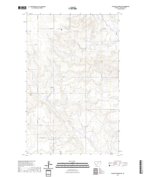
2024 Pleasant Prairie NW
Daniels County, MT
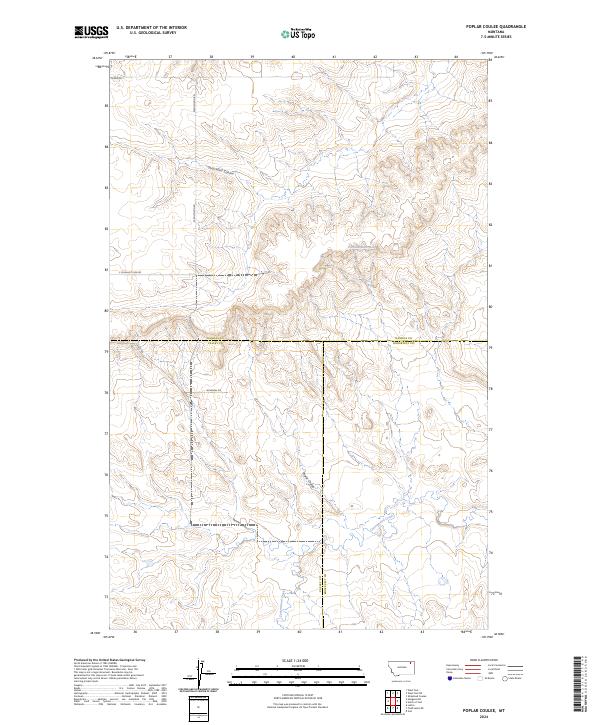
2024 Poplar Coulee
Daniels County, MT
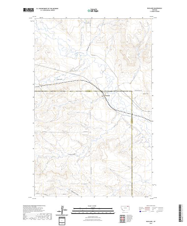
2024 Richland
Daniels County, MT
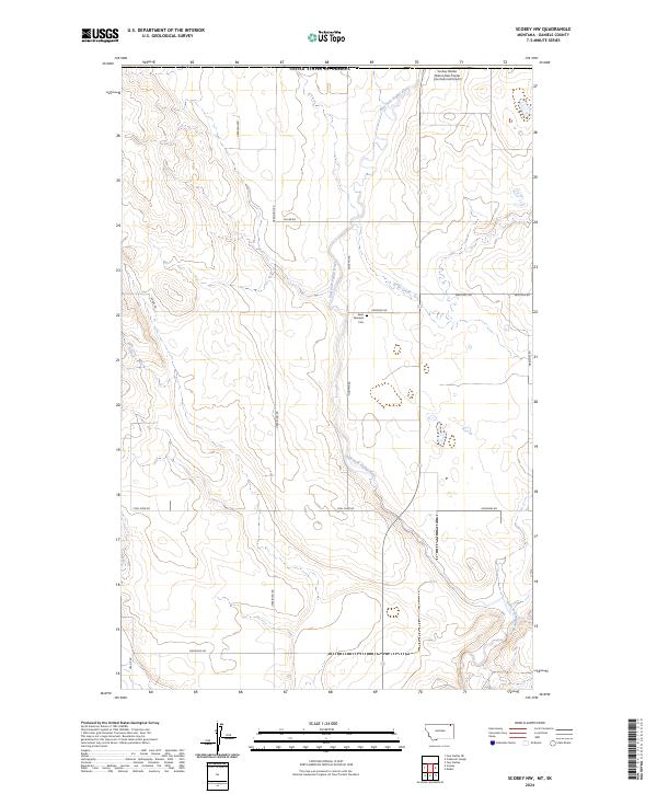
2024 Scobey NW
Daniels County, MT
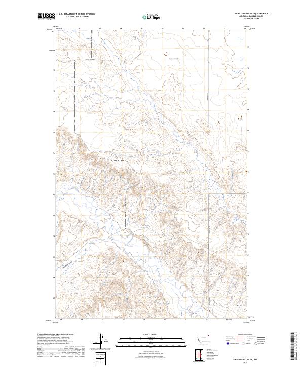
2024 Shipstead Coulee
Daniels County, MT
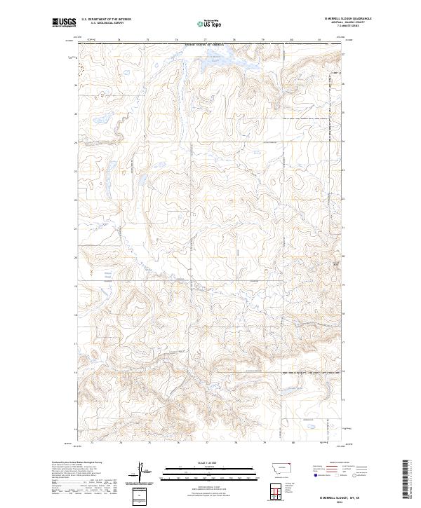
2024 Si Merrell Slough
Daniels County, MT
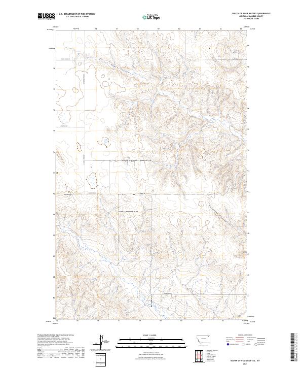
2024 South of Four Buttes
Daniels County, MT
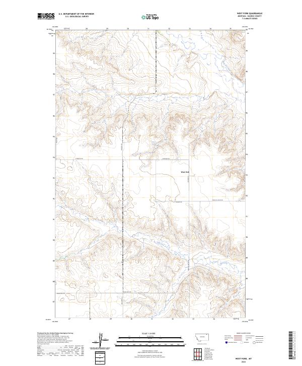
2024 West Fork
Daniels County, MT
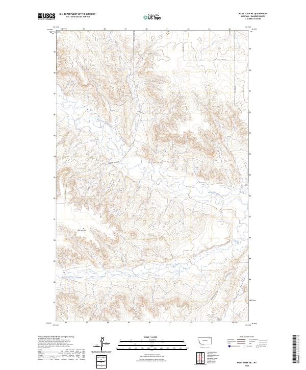
2024 West Fork NE
Daniels County, MT