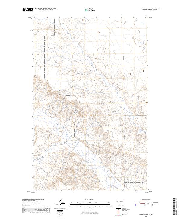
2024 Map of Shipstead Coulee
USGS Topo · Published 2024About this map
West Fork Poplar River carves a winding path through the northern plains of Daniels County, shaping a landscape defined by sharp elevation shifts and seasonal drainage systems. The terrain is marked by the eponymous Shipstead Coulee in the southwest, while Police Creek drains the northern sections of the township. This modern survey reflects the enduring spatial organization of Montana's ranching and agricultural country, where movement is dictated by a sparse network of section-line roads such as Police Creek Rd and Ferestad Rd. The intersection of drainage basins like the West Fork and local coulees suggests a landscape where water management and topography remain the primary constraints on land use and rural habitation.
Find a feature on this map
13 named features on this map. Tap any name to fly to it.
Don’t see what you’re looking for? This feature index may not catch every label — zoom into the map to look around manually.
Map Details
Editions of this 2024 Shipstead Coulee Map
This is the sole edition of this map. No revisions or reprints were ever made.
Other maps of this area

1954 · Wolf Point
USGS Topo · 1:250,000

1958 · Wolf Point
USGS Topo · 1:250,000

1973 · Peerless 4 NE
USGS Topo · 1:24,000

1973 · West Fork NE
USGS Topo · 1:24,000

1973 · Peerless
USGS Topo · 1:24,000

1973 · Killenbeck Reservoir
USGS Topo · 1:24,000

1973 · Peerless 4 SE
USGS Topo · 1:24,000

1973 · Peerless 4 SW
USGS Topo · 1:24,000

1973 · Four Buttes
USGS Topo · 1:24,000

1973 · Poplar Coulee
USGS Topo · 1:24,000