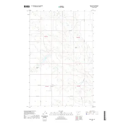
2020 Map of Todd Lakes
USGS Topo · Published 2020About this map
Todd Lakes and a series of deeply etched drainage coulees define this portion of the Frazer District in Valley County. The landscape is characterized by the erosive patterns of the W Fork Wolf Cr and the Dry Fork Wolf Cr, which cut through the high plains to create distinctive features like Tree Coulee and Thiessen Coulee. These landforms reflect the complex hydrography of the Missouri River basin's northern reaches. Human presence is marked by a sparse but deliberate network of section-line roads, including Grand Prairie Rd and Funk Rd. A notable aviation landmark, the Zerbe Airport, sits near the intersection of the township boundaries, serving this remote agricultural and ranching region. The map also identifies Jack Norris Coulee, providing a specific geographic link for those researching local family landholdings and the history of land use in northeast Montana.
Find a feature on this map
14 named features on this map. Tap any name to fly to it.
Don’t see what you’re looking for? This feature index may not catch every label — zoom into the map to look around manually.
Map Details
Editions of this 2020 Todd Lakes Map
This is the sole edition of this map. No revisions or reprints were ever made.
Other maps of this area

1910 · Todd Lakes
USGS Topo · 1:62,500

1915 · Frazer
USGS Topo · 1:62,500

1915 · Oswego
USGS Topo · 1:62,500

1915 · Todd Lakes
USGS Topo · 1:62,500

1915 · Spring Creek
USGS Topo · 1:62,500

1954 · Wolf Point
USGS Topo · 1:250,000

1954 · Glasgow
USGS Topo · 1:250,000

1957 · Glasgow
USGS Topo · 1:250,000

1958 · Wolf Point
USGS Topo · 1:250,000

1958 · Glasgow
USGS Topo · 1:250,000