Old Maps of Colstrip, Montana for Genealogy
Trace your family roots with 22 historic maps of Colstrip. These high-res maps reveal old neighborhoods, homesites, landmarks, and streets — helping you uncover where your ancestors lived and how the area evolved over time.
- Explore historic neighborhoods: Identify where your relatives may have lived in the 1800s or 1900s.
- Compare maps over time: Trace the changes in streets, buildings, and landmarks for multi-generational research.
- Perfect for genealogy & ancestry research: Used by family historians and researchers to map out lineage and migration.
These maps are an incredible resource for exploring your personal connection to Colstrip's past.
Colstrip, MT maps
(22)- 1954 Map of Hardin, 1964 Print
 1954 Hardin1964 Print · USGSSoutheastern Montana is documented here during the mid-fifties, showing the vast tribal lands and historic battle sites before modern highway expansion. Researchers can trace the Chicago Burlington and Quincy rail line through Hardin or locate the Custer National Cemetery and Museum.2 unique versions available
 - 1957 Map of Hardin
 1957 Hardin1957 Print · USGSSoutheastern Montana in the mid-fifties reveals a landscape shaped by tribal lands and the historic Bighorn river valleys. Researchers can trace the Chicago Burlington and Quincy RR through Hardin and locate the National Cemetery and Custer Battlefield Monument.
 - 1958 Map of Hardin
 1958 Hardin1958 Print · USGSSoutheastern Montana in the mid-fifties presents a landscape defined by significant tribal lands and national monuments. Researchers can trace the geography of the Little Bighorn at Custer Battlefield National Monument and locate settlements like Lame Deer and Birney.
 - 1971 Map of Colstrip SW, 1974 Print
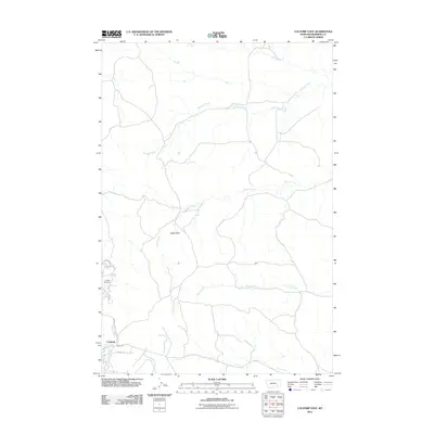
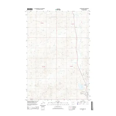
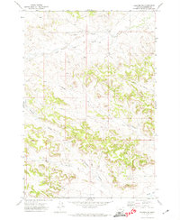 1971 Colstrip SW1974 Print · USGSEastern Montana cattle and coal country is captured here in the early seventies, showing the intricate drainage of East Fork Armells Creek. Trace the deep coulees of the high plains through landmarks like Richard Spring Coulee, Rape Coulee, and Miller Coulee.
 - 1971 Map of Colstrip East, 1974 Print
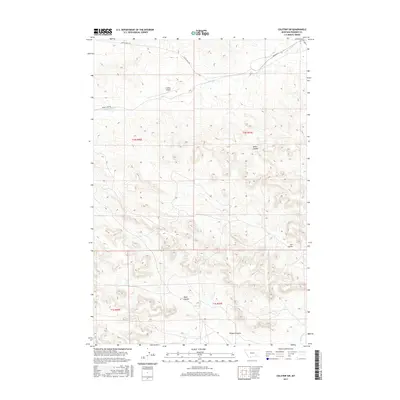
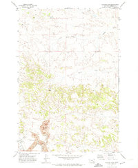 1971 Colstrip East1974 Print · USGSRosebud County industrial history comes into focus in the early 1970s as coal extraction expands around Colstrip. Researchers can trace the massive Strip Mine operations and the Burlington Northern rail lines alongside local landmarks like the Rodeo Ground.
 - 1971 Map of Colstrip West, 1974 Print
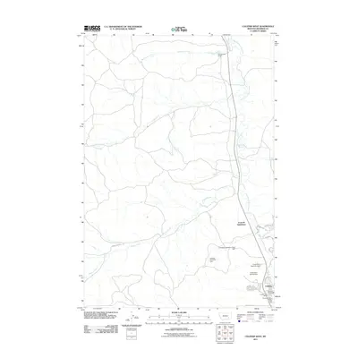
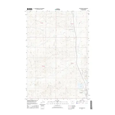
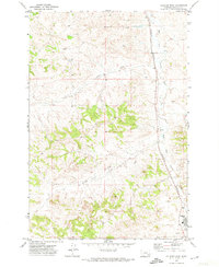 1971 Colstrip West1974 Print · USGSThe Rosebud County landscape in the early seventies shows the industrial expansion near Colstrip as coal mining infrastructure began to grow. Trace the Burlington Northern rail line alongside East Fork Armells Creek and locate numerous early Well sites.
 - 1980 Map of Lame Deer
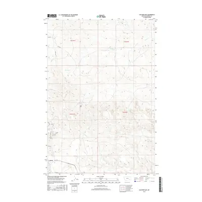
 1980 Lame Deer1980 Print · USGSHigh plains ranching and coal mining define this corner of Montana as the eighties began. Researchers can trace the rail lines of the Burlington Northern and locate sites like Colstrip, Jimtown, and the Big Sky Strip Mine.
 - 2011 Map of Colstrip SW, 2011 Print
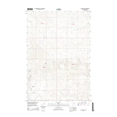
 2011 Colstrip SW2011 Print · USGSCovers Colstrip, including Rosebud County, United States, and other nearby areas
 - 2011 Map of Colstrip East, 2011 Print
 2011 Colstrip East2011 Print · USGSCovers Colstrip, including Rosebud County, United States, and other nearby areas
 - 2011 Map of Colstrip West, 2011 Print
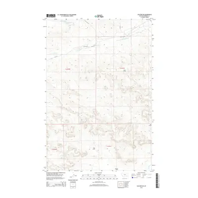
 2011 Colstrip West2011 Print · USGSCovers Colstrip, including B and R Subdivision, Rosebud County, and other nearby areas
 - 2014 Map of Colstrip East, 2014 Print
 2014 Colstrip East2014 Print · USGSCovers Colstrip, including Rosebud County, United States, and other nearby areas
 - 2014 Map of Colstrip SW, 2014 Print
 2014 Colstrip SW2014 Print · USGSCovers Colstrip, including Rosebud County, United States, and other nearby areas
 - 2014 Map of Colstrip West, 2014 Print
 2014 Colstrip West2014 Print · USGSCovers Colstrip, including B and R Subdivision, Rosebud County, and other nearby areas
 - 2017 Map of Colstrip East, 2017 Print
 2017 Colstrip East2017 Print · USGSCovers Colstrip, including Rosebud County, United States, and other nearby areas
 - 2017 Map of Colstrip West, 2017 Print
 2017 Colstrip West2017 Print · USGSCovers Colstrip, including B and R Subdivision, Rosebud County, and other nearby areas
 - 2017 Map of Colstrip SW, 2017 Print
 2017 Colstrip SW2017 Print · USGSCovers Colstrip, including Rosebud County, United States, and other nearby areas
 - 2020 Map of Colstrip East, 2020 Print
 2020 Colstrip East2020 Print · USGSCovers Colstrip, including Rosebud County, United States, and other nearby areas
 - 2020 Map of Colstrip SW, 2020 Print
 2020 Colstrip SW2020 Print · USGSCovers Colstrip, including Rosebud County, United States, and other nearby areas
 - 2020 Map of Colstrip West, 2020 Print
 2020 Colstrip West2020 Print · USGSCovers Colstrip, including B and R Subdivision, Rosebud County, and other nearby areas
 - 2024 Map of Colstrip SW, 2024 Print
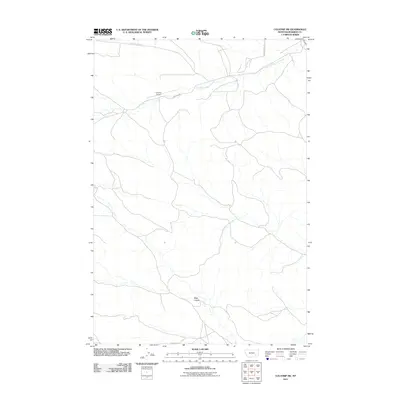
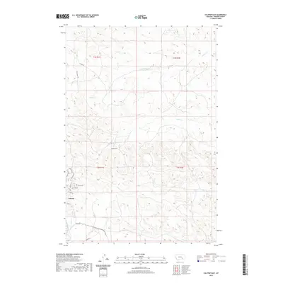
 2024 Colstrip SW2024 Print · USGSRosebud County, Montana, is shown in this contemporary survey of the rural landscape south of Colstrip. Researchers can trace the drainage of East Fork Armells Creek and locate landmarks like the Colstrip Airport and Rape Coulee.
 - 2024 Map of Colstrip East, 2024 Print
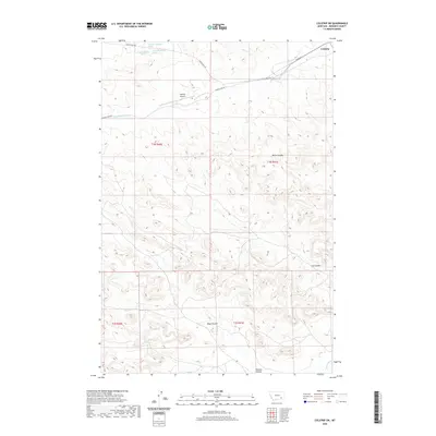
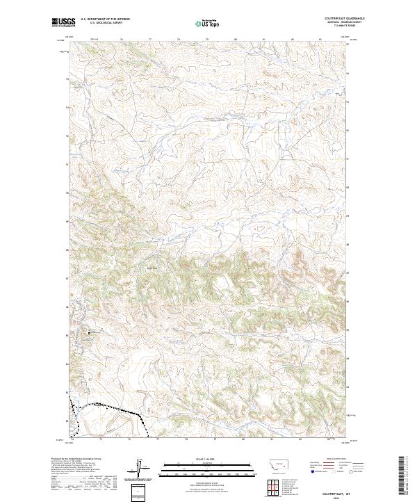 2024 Colstrip East2024 Print · USGSIn Rosebud County, the area around Colstrip is mapped during a period of modern development and ranching. Genealogists and local historians can trace residential growth near Colstrip Cem and landmarks like Eagle Rock and Cow Creek.
 - 2024 Map of Colstrip West, 2024 Print
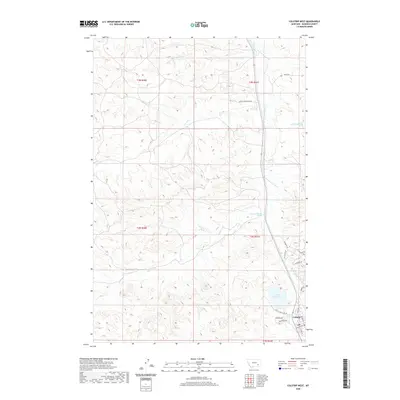
 2024 Colstrip West2024 Print · USGSRosebud County plains meet modern residential expansion in this contemporary Montana survey. Genealogists and local historians can trace modern property divisions near Castle Rock Lake and along the drainages of McGilvrey Creek.
End of results
Showing maps 1-22 of 22
Top cities near Colstrip
Frequently asked questions
- What are the different types of historical maps available for Colstrip?
- What is the oldest map of Colstrip?
- Where can I purchase historical maps of Colstrip for my home or office?
- Where can I download high-res historical maps of Colstrip?
- Are there historical topographic maps available for Colstrip?
- Is there historical aerial imagery available for Colstrip?
- Where are historical maps of Colstrip sourced from?