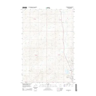
2014 Map of Colstrip West
USGS Topo · Published 2014About this map
Colstrip serves as the focal point of this eastern Montana landscape, situated at the junction of industrial development and the high plains. The town's modern footprint is defined by a residential grid featuring named thoroughfares like Homestead Blvd and Cheyenne Dr, surrounding the prominent Castle Rock Lake. This water body and the nearby Castle Rock Rd reflect the area's geological character and its importance to local settlement.
Find a feature on this map
28 named features on this map. Tap any name to fly to it.
Don’t see what you’re looking for? This feature index may not catch every label — zoom into the map to look around manually.
Map Details
Editions of this 2014 Colstrip West Map
This is the sole edition of this map. No revisions or reprints were ever made.
Other maps of this area

1954 · Hardin
USGS Topo · 1:250,000

1954 · Forsyth
USGS Topo · 1:250,000

1957 · Hardin
USGS Topo · 1:250,000

1957 · Forsyth
USGS Topo · 1:250,000

1958 · Forsyth
USGS Topo · 1:250,000

1958 · Hardin
USGS Topo · 1:250,000

1971 · Trail Creek School
USGS Topo · 1:24,000

1971 · Colstrip SW
USGS Topo · 1:24,000

1971 · Colstrip SE
USGS Topo · 1:24,000

1971 · Rough Draw
USGS Topo · 1:24,000