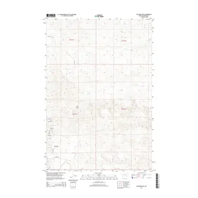
2014 Map of Colstrip East
USGS Topo · Published 2014About this map
Colstrip serves as the focal point of this Eastern Montana landscape, where the town's residential expansion and industrial infrastructure are clearly defined. The survey details the town's southeastern edge, noting neighborhood thoroughfares like Willow Ave and Piedmont Dr alongside the Colstrip Cem. A network of creeks, including Sprague Cr, Spring Cr, and Pony Cr, drain the dissected plateau land that characterizes this region of Rosebud County. Notable landmarks such as Eagle Rock break the undulating terrain, while the inclusion of Power Plant Rd reflects the energy-based economy that has shaped the area's development. This 2014 edition captures the modern footprint of the settlement as it interfaces with the surrounding cattle-ranching and coal-mining country.
Find a feature on this map
21 named features on this map. Tap any name to fly to it.
Don’t see what you’re looking for? This feature index may not catch every label — zoom into the map to look around manually.
Map Details
Editions of this 2014 Colstrip East Map
This is the sole edition of this map. No revisions or reprints were ever made.
Other maps of this area

1954 · Hardin
USGS Topo · 1:250,000

1954 · Forsyth
USGS Topo · 1:250,000

1957 · Hardin
USGS Topo · 1:250,000

1957 · Forsyth
USGS Topo · 1:250,000

1958 · Forsyth
USGS Topo · 1:250,000

1958 · Hardin
USGS Topo · 1:250,000

1971 · Colstrip SW
USGS Topo · 1:24,000

1971 · Colstrip SE
USGS Topo · 1:24,000

1971 · Hammond Draw NW
USGS Topo · 1:24,000

1971 · Colstrip East
USGS Topo · 1:24,000