Old Maps of Lame Deer, Lame Deer District for Hiking & Exploration
Hike through history with 34 historic maps of Lame Deer. Explore old trails, ghost towns, and forgotten backroads — perfect for outdoor adventurers and local explorers.
- Rediscover forgotten places: Map out old mining camps, roads, and footpaths that no longer exist on modern maps.
- Layer with modern tools: Combine with LiDAR or satellite views to plan hikes through historical terrain.
- Made for exploration: Popular among hikers, overlanders, and local history lovers.
Use these maps to find adventure and explore the hidden past of Lame Deer.
Lame Deer, Lame Deer District maps
(34)- 1954 Map of Hardin, 1964 Print
 1954 Hardin1964 Print · USGSSoutheastern Montana is documented here during the mid-fifties, showing the vast tribal lands and historic battle sites before modern highway expansion. Researchers can trace the Chicago Burlington and Quincy rail line through Hardin or locate the Custer National Cemetery and Museum.2 unique versions available
 - 1957 Map of Hardin
 1957 Hardin1957 Print · USGSSoutheastern Montana in the mid-fifties reveals a landscape shaped by tribal lands and the historic Bighorn river valleys. Researchers can trace the Chicago Burlington and Quincy RR through Hardin and locate the National Cemetery and Custer Battlefield Monument.
 - 1958 Map of Hardin
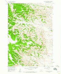
 1958 Hardin1958 Print · USGSSoutheastern Montana in the mid-fifties presents a landscape defined by significant tribal lands and national monuments. Researchers can trace the geography of the Little Bighorn at Custer Battlefield National Monument and locate settlements like Lame Deer and Birney.
 - 1958 Map of Jimtown, 1960 Print
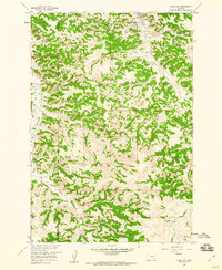
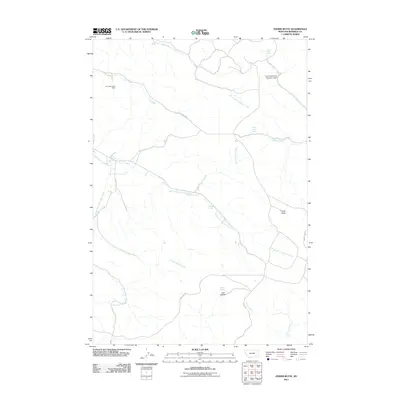
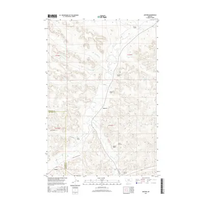
 1958 Jimtown1960 Print · USGSThe Northern Cheyenne Indian Reservation boundary and the ranching country of Rosebud County are detailed here in the late fifties. Researchers can trace family sites like McKay Ranch, the settlement of Jimtown, and local landmarks including a Sawmill and Cem.2 unique versions available
 - 1958 Map of Fisher Butte, 1960 Print
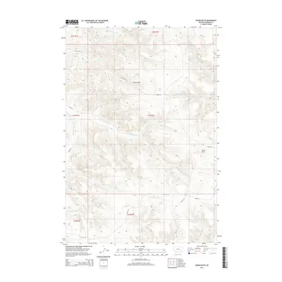
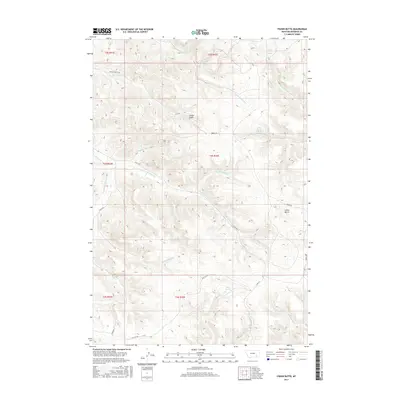
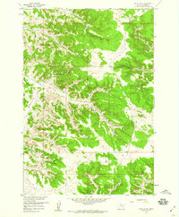 1958 Fisher Butte1960 Print · USGSIn the high country of Rosebud County during the late fifties, this survey captures the industrial and natural landscape of the Northern Cheyenne vicinity. Researchers can locate the Lame Deer Strip Mine and trace water sources like Crazy Head Spring and Broken Jaw Spring.3 unique versions available
 - 1958 Map of Lame Deer, 1960 Print
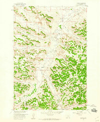
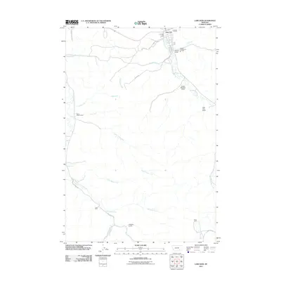
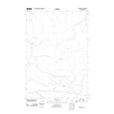
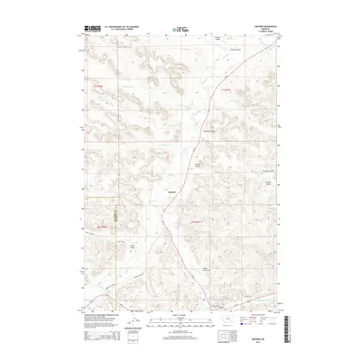
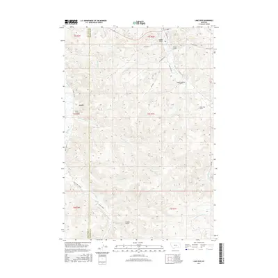
 1958 Lame Deer1960 Print · USGSLame Deer and the surrounding gulches of the Northern Cheyenne Indian Reservation are captured here in the late fifties. Genealogists and historians can trace family locations and early rural outposts like Harris Ranch, the Lame Deer Sch, and the Bixby Ranch.3 unique versions available
 - 1958 Map of Badger Peak, 1960 Print
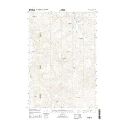
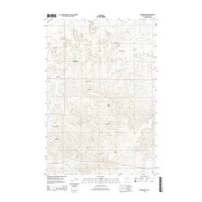
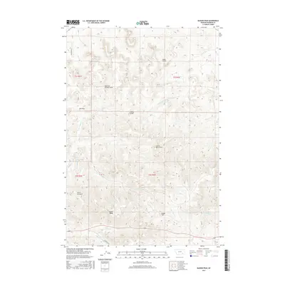
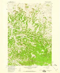 1958 Badger Peak1960 Print · USGSThe high Montana ridges of Rosebud County are captured here in the late fifties, showing the Northern Cheyenne Indian Reservation Boundary. Researchers can trace the drainage of Alderson Creek or locate landmarks like Charlie Black Butte and the high summit of Badger Peak.2 unique versions available
 - 1958 Map of Hollowwood Creek, 1960 Print
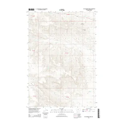
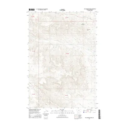
 1958 Hollowwood Creek1960 Print · USGSSoutheast Montana in the late fifties was a landscape of named coulees and vital water sources before modern development. Researchers can trace land features like Bighead Reservoir and several remote landmarks like Walking Horse Coulee or the local Landing Strip.3 unique versions available
 - 1980 Map of Lame Deer
 1980 Lame Deer1980 Print · USGSHigh plains ranching and coal mining define this corner of Montana as the eighties began. Researchers can trace the rail lines of the Burlington Northern and locate sites like Colstrip, Jimtown, and the Big Sky Strip Mine.
 - 2011 Map of Lame Deer, 2011 Print
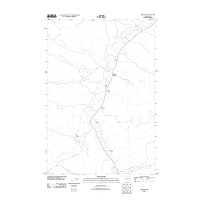
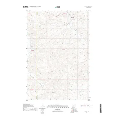
 2011 Lame Deer2011 Print · USGSCovers Lame Deer, including Muddy District, Lame Deer District, and other nearby areas
 - 2011 Map of Jimtown, 2011 Print
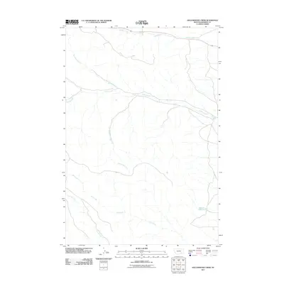
 2011 Jimtown2011 Print · USGSCovers Lame Deer, including Muddy District, Jimtown, and other nearby areas
 - 2011 Map of Hollowwood Creek, 2011 Print
 2011 Hollowwood Creek2011 Print · USGSCovers Lame Deer, including Birney District, Ashland District, and other nearby areas
 - 2011 Map of Badger Peak, 2011 Print
 2011 Badger Peak2011 Print · USGSCovers Lame Deer, including Lame Deer District, Rosebud County, and other nearby areas
 - 2011 Map of Fisher Butte, 2011 Print
 2011 Fisher Butte2011 Print · USGSCovers Lame Deer, including Birney District, Ashland District, and other nearby areas
 - 2014 Map of Lame Deer, 2014 Print
 2014 Lame Deer2014 Print · USGSCovers Lame Deer, including Muddy District, Lame Deer District, and other nearby areas
 - 2014 Map of Fisher Butte, 2014 Print
 2014 Fisher Butte2014 Print · USGSCovers Lame Deer, including Birney District, Ashland District, and other nearby areas
 - 2014 Map of Hollowwood Creek, 2014 Print
 2014 Hollowwood Creek2014 Print · USGSCovers Lame Deer, including Birney District, Ashland District, and other nearby areas
 - 2014 Map of Badger Peak, 2014 Print
 2014 Badger Peak2014 Print · USGSCovers Lame Deer, including Lame Deer District, Rosebud County, and other nearby areas
 - 2014 Map of Jimtown, 2014 Print
 2014 Jimtown2014 Print · USGSCovers Lame Deer, including Muddy District, Jimtown, and other nearby areas
 - 2017 Map of Fisher Butte, 2017 Print
 2017 Fisher Butte2017 Print · USGSCovers Lame Deer, including Birney District, Ashland District, and other nearby areas
 - 2017 Map of Hollowwood Creek, 2017 Print
 2017 Hollowwood Creek2017 Print · USGSCovers Lame Deer, including Birney District, Ashland District, and other nearby areas
 - 2017 Map of Badger Peak, 2017 Print
 2017 Badger Peak2017 Print · USGSCovers Lame Deer, including Lame Deer District, Rosebud County, and other nearby areas
 - 2017 Map of Lame Deer, 2017 Print
 2017 Lame Deer2017 Print · USGSCovers Lame Deer, including Muddy District, Lame Deer District, and other nearby areas
 - 2017 Map of Jimtown, 2017 Print
 2017 Jimtown2017 Print · USGSCovers Lame Deer, including Muddy District, Jimtown, and other nearby areas
 - 2020 Map of Lame Deer, 2020 Print
 2020 Lame Deer2020 Print · USGSCovers Lame Deer, including Muddy District, Lame Deer District, and other nearby areas
Showing maps 1-25 of 34
Frequently asked questions
- What are the different types of historical maps available for Lame Deer?
- What is the oldest map of Lame Deer?
- Where can I purchase historical maps of Lame Deer for my home or office?
- Where can I download high-res historical maps of Lame Deer?
- Are there historical topographic maps available for Lame Deer?
- Is there historical aerial imagery available for Lame Deer?
- Where are historical maps of Lame Deer sourced from?