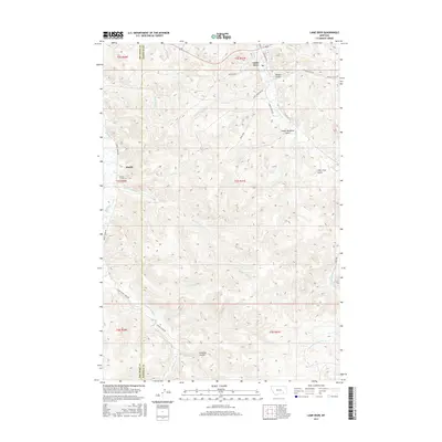
2017 Map of Lame Deer
USGS Topo · Published 2017About this map
Lame Deer serves as a central hub in this Rosebud County landscape, where the confluence of Lame Deer Cr and Coal Cr meets a network of local roads like Westside Rd and Cheyenne Ave. To the west, the settlement of Muddy sits along the banks of Muddy Cr, near the Muddy Creek Cem. The terrain is defined by a series of named drainages and high points, including Soldier Gulch, Sweet Medicine Gulch, and Calls First Gulch.
Find a feature on this map
36 named features on this map. Tap any name to fly to it.
Don’t see what you’re looking for? This feature index may not catch every label — zoom into the map to look around manually.
Map Details
Editions of this 2017 Lame Deer Map
This is the sole edition of this map. No revisions or reprints were ever made.
Other maps of this area

1954 · Hardin
USGS Topo · 1:250,000

1957 · Hardin
USGS Topo · 1:250,000

1958 · Hardin
USGS Topo · 1:250,000

1958 · Painted Hill
USGS Topo · 1:24,000

1958 · Bull Creek Lookout
USGS Topo · 1:24,000

1958 · Jimtown
USGS Topo · 1:24,000

1958 · Black Spring
USGS Topo · 1:24,000

1958 · Fisher Butte
USGS Topo · 1:24,000

1958 · Lame Deer
USGS Topo · 1:24,000

1958 · Badger Peak
USGS Topo · 1:24,000