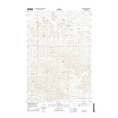
2014 Map of Badger Peak
USGS Topo · Published 2014About this map
Badger Peak dominates this Rosebud County landscape, marking a high point in a complex network of drainages and coulees southeast of Lame Deer. The southern portion of the sheet is anchored by Us-212, which follows the path of Alderson Cr and S Fork Alderson Cr. This corridor, joined by Alderson Ca Rd, represents the primary modern transportation route through the area. North of the highway, the terrain rises into a series of named divides and draws, including Yellow Fox Gulch and the prominent Charlie Black Butte. The map documents a territory defined by its water sources, from major seasonal channels like Rye Grass Cr and Miller Cr to specific cattle-country landmarks such as Diamond R Spring and Mud Springs. The intricate naming of features like West Fork Downey Coulee and Dobbs Coulee illustrates how local topography was meticulously cataloged for navigation and land management.
Find a feature on this map
30 named features on this map. Tap any name to fly to it.
Don’t see what you’re looking for? This feature index may not catch every label — zoom into the map to look around manually.
Map Details
Editions of this 2014 Badger Peak Map
This is the sole edition of this map. No revisions or reprints were ever made.
Other maps of this area

1954 · Hardin
USGS Topo · 1:250,000

1957 · Hardin
USGS Topo · 1:250,000

1958 · Hardin
USGS Topo · 1:250,000

1958 · Garfield Peak
USGS Topo · 1:24,000

1958 · Jimtown
USGS Topo · 1:24,000

1958 · Fisher Butte
USGS Topo · 1:24,000

1958 · Lame Deer
USGS Topo · 1:24,000

1958 · Badger Peak
USGS Topo · 1:24,000

1958 · Hollowwood Creek
USGS Topo · 1:24,000

1971 · Colstrip SW
USGS Topo · 1:24,000