
1958 Map of Lame Deer
USGS Topo · Published 1960About this map
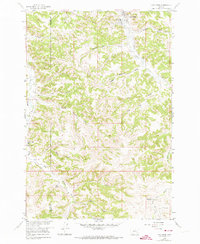
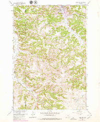
Lame Deer serves as the focal point of this late 1950s survey, situated along the northern edge of the map where Alderson Cr meets Lame Deer Creek. The town is characterized by local civic markers like the Lame Deer Sch and the Rodeo Grounds. Stretching south from the settlement, the landscape is defined by a dense network of coulees and gulches that feed into the larger creek systems. The presence of the Big Horn Co Rosebud Co line crossing the western ridges highlights the area's political geography amidst the complex terrain of the Northern Cheyenne Indian Reservation. Evidence of early cattle ranching and settlement patterns can be found in the interior, with the Harris Ranch and the Bixby Ranch (Aband) appearing along South Fork Lame Deer Creek. The nomenclature of the water bodies, such as Spotted Elk Creek, Sweet Medicine Gulch, and Red Shale Creek, reflects the deep cultural and geological character of this Montana landscape.
Find a feature on this map
21 named features on this map. Tap any name to fly to it.
Don’t see what you’re looking for? This feature index may not catch every label — zoom into the map to look around manually.
Map Details
Editions of this 1958 Lame Deer Map
3 editions found
Other maps of this area

1954 · Hardin
USGS Topo · 1:250,000

1957 · Hardin
USGS Topo · 1:250,000

1958 · Hardin
USGS Topo · 1:250,000

1958 · Painted Hill
USGS Topo · 1:24,000

1958 · Bull Creek Lookout
USGS Topo · 1:24,000

1958 · Jimtown
USGS Topo · 1:24,000

1958 · Black Spring
USGS Topo · 1:24,000

1958 · Fisher Butte
USGS Topo · 1:24,000

1958 · Badger Peak
USGS Topo · 1:24,000

1967 · Clubfoot Creek
USGS Topo · 1:24,000