Loading...
Loading map...1958 Map of Lame Deer
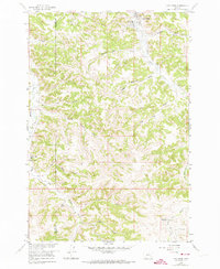
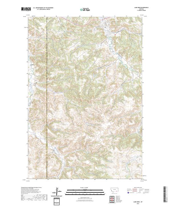
USGS Topo · Published 1974About this map
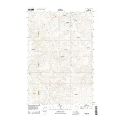
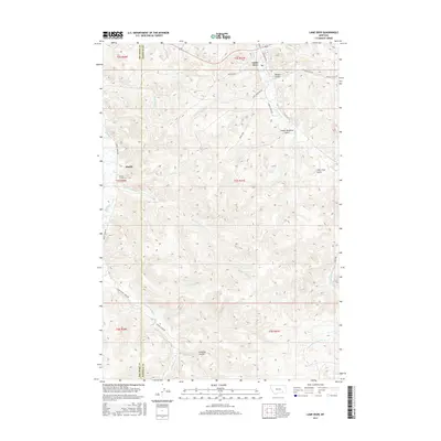
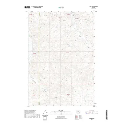
Lame Deer serves as the primary hub in this late 1950s survey of the Northern Cheyenne Indian Reservation, with the town's Lame Deer Sch and Rodeo Grounds marking the community center. The landscape is defined by an intricate network of drainage systems, including Lame Deer Creek, Sweet Medicine Gulch, and Spotted Elk Creek, which carve through the high plains. A clear sense of the area's rural social structure is evident in the presence of the Muddy Creek Ch and the adjacent Muddy Creek Cem located to the west along Muddy Creek.
Find a feature on this map
33 named features on this map. Tap any name to fly to it.
Don’t see what you’re looking for? This feature index may not catch every label — zoom into the map to look around manually.
Map Details
Date Portrayed1958
Date Published1974
PublisherU.S. Geological Survey
Map TypeTopographic
Scale1:24,000
Physical Dimensions22 x 26.8 inches
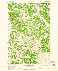
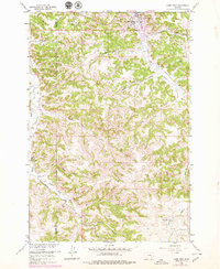
Editions of this 1958 Lame Deer Map
3 editions found
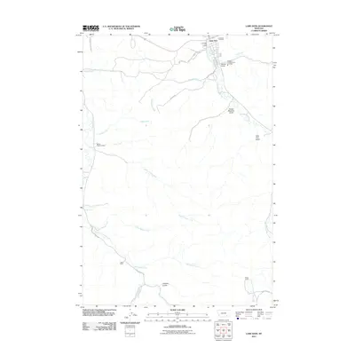
Historical Maps of Lame Deer Through Time
7 maps found

Featured Locations
- Rosebud County, MT
- Big Horn County, MT
- Muddy District, MT
- Lame Deer District, MT
- Lame Deer, Lame Deer District
Source Details
SourceU.S. Geological Survey
CopyrightPublic Domain