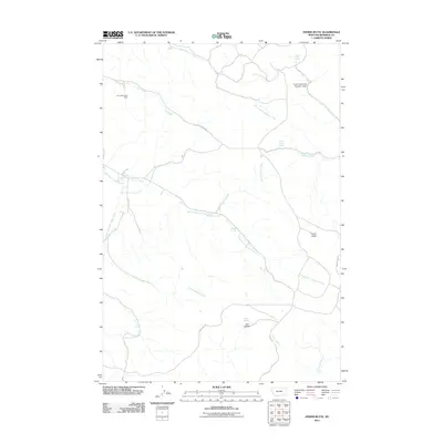
2011 Map of Fisher Butte
USGS Topo · Published 2011About this map
Fisher Butte rises above a landscape defined by an intricate network of drainages and springs in this 2011 survey of the Birney District. The industrial footprint of the Lame Deer Strip Mine stands out in the northwest, contrasting with the many named natural springs like Crazy Head Spring, White Horse Spring, and Spang Spring that dot the territory. These water sources have long dictated movement and land use across this part of Rosebud County, as evidenced by the namesake Crazy Head Pond Number 3 Dam and Lost Leg Dam.
Find a feature on this map
25 named features on this map. Tap any name to fly to it.
Don’t see what you’re looking for? This feature index may not catch every label — zoom into the map to look around manually.
Map Details
Editions of this 2011 Fisher Butte Map
This is the sole edition of this map. No revisions or reprints were ever made.
Other maps of this area

1954 · Hardin
USGS Topo · 1:250,000

1957 · Hardin
USGS Topo · 1:250,000

1958 · Hardin
USGS Topo · 1:250,000

1958 · Garfield Peak
USGS Topo · 1:24,000

1958 · Jimtown
USGS Topo · 1:24,000

1958 · Fisher Butte
USGS Topo · 1:24,000

1958 · Lame Deer
USGS Topo · 1:24,000

1958 · Badger Peak
USGS Topo · 1:24,000

1958 · Hollowwood Creek
USGS Topo · 1:24,000

1966 · Birney Day School
USGS Topo · 1:24,000