Old Maps of Camas Prairie, Montana for Genealogy
Trace your family roots with 10 historic maps of Camas Prairie. These high-res maps reveal old neighborhoods, homesites, landmarks, and streets — helping you uncover where your ancestors lived and how the area evolved over time.
- Explore historic neighborhoods: Identify where your relatives may have lived in the 1800s or 1900s.
- Compare maps over time: Trace the changes in streets, buildings, and landmarks for multi-generational research.
- Perfect for genealogy & ancestry research: Used by family historians and researchers to map out lineage and migration.
These maps are an incredible resource for exploring your personal connection to Camas Prairie's past.
Camas Prairie, MT maps
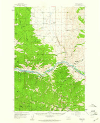
(10)- 1956 Map of Wallace, 1966 Print
 1956 Wallace1966 Print · USGSWestern Montana and the Idaho panhandle meet in this mid-century survey of the Bitterroot and Cabinet Mountains. Genealogists and historians can trace the rail-and-river economy through the Northern Pacific line and settlements like Thompson Falls or St. Ignatius.3 unique versions available
 - 1959 Map of Perma, 1961 Print
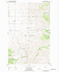
 1959 Perma1961 Print · USGSSanders County and the Flathead River valley are captured here in the late fifties as the rail and river economy defined life in the basin. Researchers can trace family history at Camas Cem or locate industrial sites like the Sunrise Mine and the Horse Ferry at Perma.2 unique versions available
 - 1960 Map of Wallace
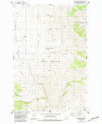
 1960 Wallace1960 Print · USGSNorthwestern Montana and the Idaho panhandle are captured in the late fifties, showing the vast Flathead Indian Reservation and the mining districts of the Bitterroot Range. Researchers can trace the rail lines of the Northern Pacific or locate early sites like the Morning Mine and the National Bison Range.
 - 1984 Map of Camas Prairie
 1984 Camas Prairie1984 Print · USGSThe Flathead Indian Reservation in the mid-1980s reveals a quiet ranching landscape centered on the wide Camas Prairie Basin. Genealogists and historians can trace the early infrastructure of Camas Prairie or locate family-named sites like Coppedge Gulch and Wilcox Draw.
 - 1989 Map of Camas Prairie
 1989 Camas Prairie1989 Print · USGSThe western edge of the Flathead Indian Reservation comes into focus during the late eighties, showing the transition from basin floors to mountain foothills. Local researchers can trace old forest routes like FB-2000 and locate early resource sites including various prospects and the Gravel Pit.
 - 2011 Map of Camas Prairie, 2011 Print
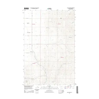
 2011 Camas Prairie2011 Print · USGSCovers Camas Prairie, including Sanders County, United States, and other nearby areas
 - 2014 Map of Camas Prairie, 2014 Print
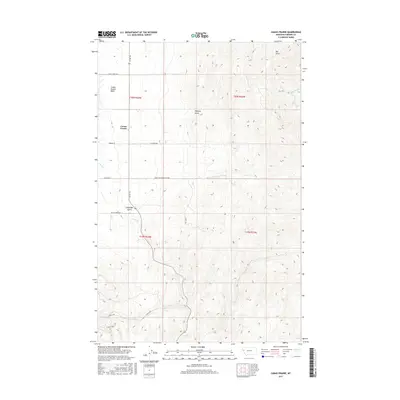
 2014 Camas Prairie2014 Print · USGSCovers Camas Prairie, including Sanders County, United States, and other nearby areas
 - 2017 Map of Camas Prairie, 2017 Print
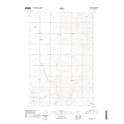
 2017 Camas Prairie2017 Print · USGSCovers Camas Prairie, including Sanders County, United States, and other nearby areas
 - 2020 Map of Camas Prairie, 2020 Print
 2020 Camas Prairie2020 Print · USGSCovers Camas Prairie, including Sanders County, United States, and other nearby areas
 - 2024 Map of Camas Prairie, 2024 Print
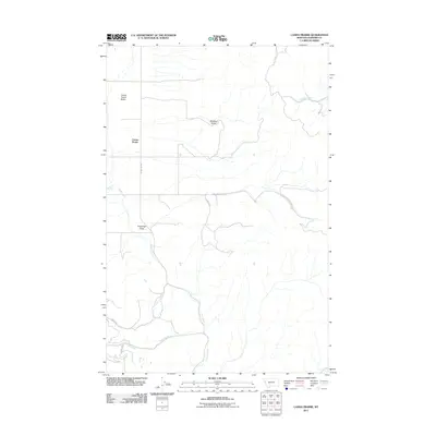
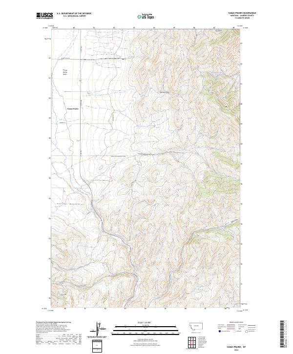 2024 Camas Prairie2024 Print · USGSSanders County is documented here in the early 2020s, showing the intersection of ranching land and mountain terrain. Trace the geography of Camas Prairie near the Cabinet Mountains and find landmarks like Whiskey Creek and Coppedge Gulch.
End of results
Showing maps 1-10 of 10
Top cities near Camas Prairie
Frequently asked questions
- What are the different types of historical maps available for Camas Prairie?
- What is the oldest map of Camas Prairie?
- Where can I purchase historical maps of Camas Prairie for my home or office?
- Where can I download high-res historical maps of Camas Prairie?
- Are there historical topographic maps available for Camas Prairie?
- Is there historical aerial imagery available for Camas Prairie?
- Where are historical maps of Camas Prairie sourced from?