Old Maps of Kevin, Montana for Academic Research
Study the evolution of Kevin with 17 high-resolution historic maps. Whether you're teaching, researching, or modeling changes in land use, these maps provide essential visual documentation of urban, environmental, and geographic change.
- Analyze long-term change: Track patterns in development, transportation, and natural features.
- Ideal for environmental or urban studies: Support academic projects with primary historical map data.
- Use in the classroom or lab: Educators and researchers rely on these maps to bring historical context to life.
These maps are a powerful tool for teaching, research, and visualizing how Kevin has changed over the decades.
Kevin, MT maps
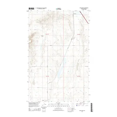
(17)- 1939 Map of Sunburst, 1941 Print
 1939 Sunburst1941 Print · USGSToole County's oil boom and border-town life are preserved in this late 1930s survey of the northern Montana plains. Trace the early petroleum economy through Ohio Camp and Texas Pacific Camp or find family roots at Willshaw Sch.3 unique versions available
 - 1943 Map of Shelby, 1946 Print
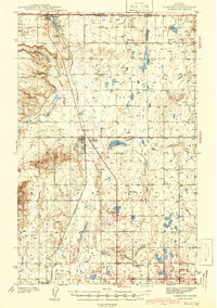
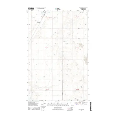
 1943 Shelby1946 Print · USGSToole County ranching and rail life are documented here during the 1940s as the regional economy transitioned between cattle and oil. Genealogists can trace family holdings like Roberts Ranch and Holstad Ranch or locate early rural school sites such as Aloe Sch.2 unique versions available
 - 1954 Map of Shelby, 1967 Print
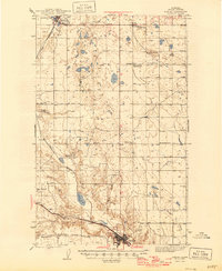
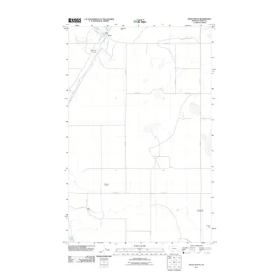
 1954 Shelby1967 Print · USGSNorthern Montana's Hi-Line is captured in the mid-fifties, showing a landscape shaped by the Great Northern rail and early oil development. Trace family roots in Shelby and Conrad, or locate rural landmarks like Goose Bill Butte and the Rocky Boys Indian Reservation.3 unique versions available
 - 1958 Map of Shelby
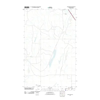
 1958 Shelby1958 Print · USGSNorthern Montana’s high plains and the Sweetgrass Hills come to life in the late fifties as the Tiber Dam begins to reshape the Marias River valley. Genealogists and historians can trace rail-town lineages along the Great Northern line and locate sites like the Hull Coal Mine or Sweet Grass.
 - 1984 Map of Sweet Grass Hills
 1984 Sweet Grass Hills1984 Print · USGSThe High Plains of Toole County meet the Canadian border in the early eighties, showcasing a landscape of isolated buttes and essential water coulees. Researchers can trace the Burlington Northern line through Sunburst or locate the Mt Dermott Mine tucked into West Butte.
 - 1986 Map of Kevin North
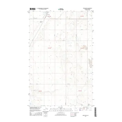
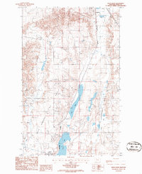 1986 Kevin North1986 Print · USGSNorthern Montana oil country is captured here in the mid-1980s, centered on the settlements of Sunburst and Kevin. Researchers can trace the extensive OIL FIELD infrastructure, the BURLINGTON NORTHERN line, and a TANK FARM (ABANDONED).
 - 1986 Map of Kevin South
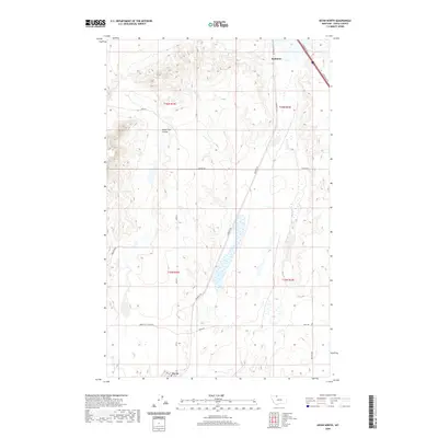
 1986 Kevin South1986 Print · USGSToole County in the mid-eighties shows a landscape deeply integrated with the energy industry and rail transport. Researchers can trace the infrastructure of the Kevin Sunburst Oil Field and Burlington Northern railroad near Potter Ranch.
 - 2011 Map of Kevin North, 2011 Print
 2011 Kevin North2011 Print · USGSCovers Kevin, including Sunburst, Toole County, and other nearby areas
 - 2011 Map of Kevin South, 2011 Print
 2011 Kevin South2011 Print · USGSCovers Kevin, including Toole County, United States, and other nearby areas
 - 2014 Map of Kevin North, 2014 Print
 2014 Kevin North2014 Print · USGSCovers Kevin, including Sunburst, Toole County, and other nearby areas
 - 2014 Map of Kevin South, 2014 Print
 2014 Kevin South2014 Print · USGSCovers Kevin, including Toole County, United States, and other nearby areas
 - 2017 Map of Kevin South, 2017 Print
 2017 Kevin South2017 Print · USGSCovers Kevin, including Toole County, United States, and other nearby areas
 - 2017 Map of Kevin North, 2017 Print
 2017 Kevin North2017 Print · USGSCovers Kevin, including Sunburst, Toole County, and other nearby areas
 - 2020 Map of Kevin North, 2020 Print
 2020 Kevin North2020 Print · USGSCovers Kevin, including Sunburst, Toole County, and other nearby areas
 - 2020 Map of Kevin South, 2020 Print
 2020 Kevin South2020 Print · USGSCovers Kevin, including Toole County, United States, and other nearby areas
 - 2024 Map of Kevin North, 2024 Print
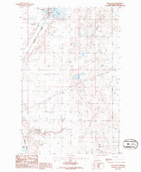
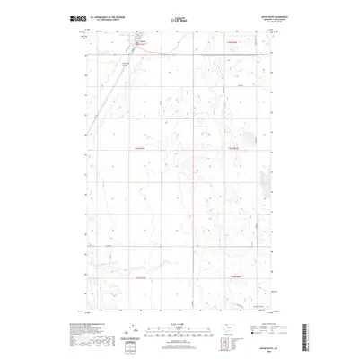
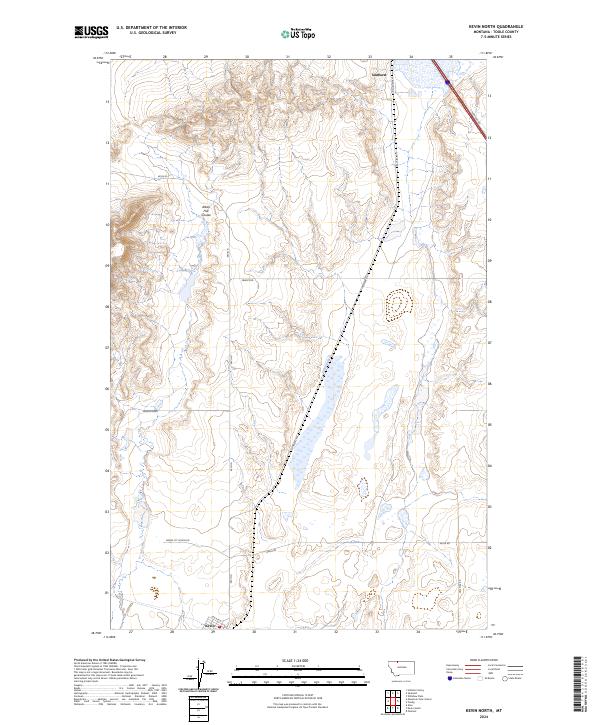 2024 Kevin North2024 Print · USGSToole County's high plains near the Canadian border are captured here, showing the communities of Sunburst and Kevin in their modern landscape. Researchers can trace rural property access and landmarks like Alkali Flat Coulee and Maggie Ward.
 - 2024 Map of Kevin South, 2024 Print
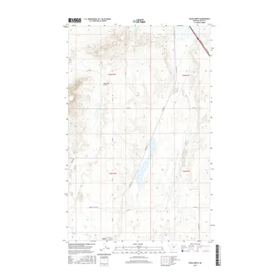
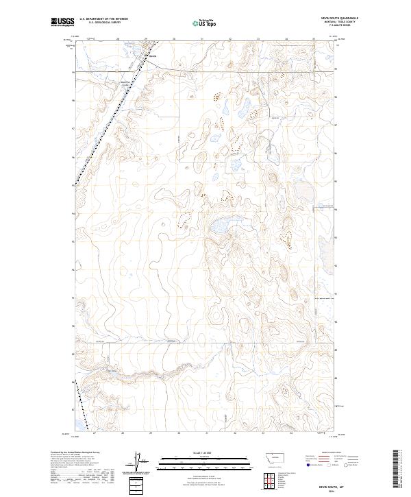 2024 Kevin South2024 Print · USGSThis high plains region near the Canadian border shows a landscape organized by section-line roads and seasonal waterways in the twenty-first century. Researchers can trace the local infrastructure around Kevin or locate landmarks like Goedertz Lake and Alkali Flat Coulee.
End of results
Showing maps 1-17 of 17
Top cities near Kevin
Frequently asked questions
- What are the different types of historical maps available for Kevin?
- What is the oldest map of Kevin?
- Where can I purchase historical maps of Kevin for my home or office?
- Where can I download high-res historical maps of Kevin?
- Are there historical topographic maps available for Kevin?
- Is there historical aerial imagery available for Kevin?
- Where are historical maps of Kevin sourced from?