2020s Maps of Chase County, Nebraska
Explore 28 historic maps of Chase County from the 2020s. These maps offer a rare glimpse into what life looked like during the 2020s — showing old roads, neighborhoods, homes, and landmarks that have changed or disappeared over time.
Whether you're researching your family's past, planning a metal detecting trip, or studying how Chase County's landscape evolved across the 2020s, these high-resolution maps are a powerful tool for exploring the history of this region.
- Focus on a specific era: All maps on this page are from the 2020s, giving you a focused view of this time period.
- See what’s changed: Compare century-old streets, trails, and buildings to today's modern landscape using overlays and satellite layers.
- Research with precision: Use these maps for genealogy, historical research, land use analysis, or educational projects.
- View, download, or print: Maps are fully viewable online in high resolution, and can be downloaded or printed for your own records.
Start exploring Chase County's history through authentic maps from the 2020s. This is your window into the past.
Chase County, NE maps
(28)- 2021 Map of Dittons Creek NW, 2021 Print
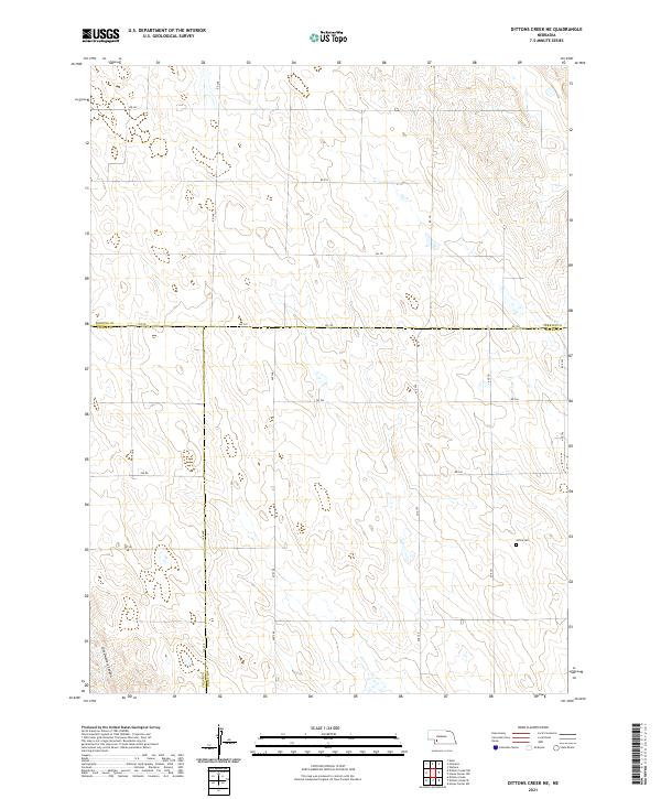
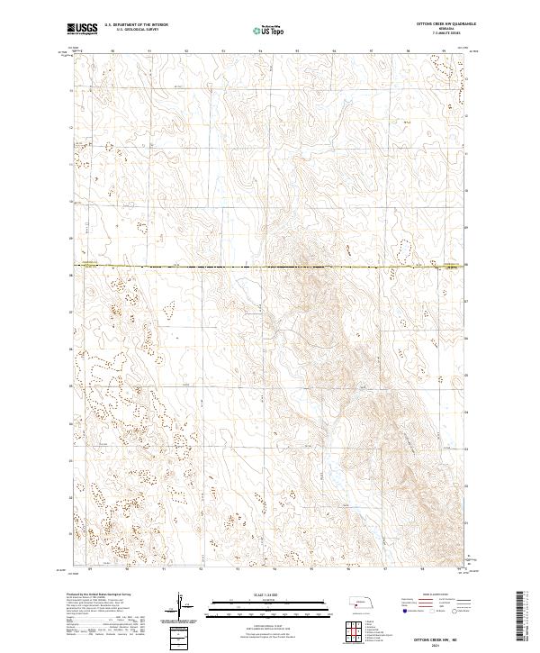 2021 Dittons Creek NW2021 Print · USGSChase and Perkins counties appear here in the early 2020s, showing the intersection of High Plains terrain and rural infrastructure. Genealogists and land researchers can trace property boundaries along 750 Rd or explore the geography of Cliff Dwellers Canyon.
 - 2021 Map of Lamar, 2021 Print
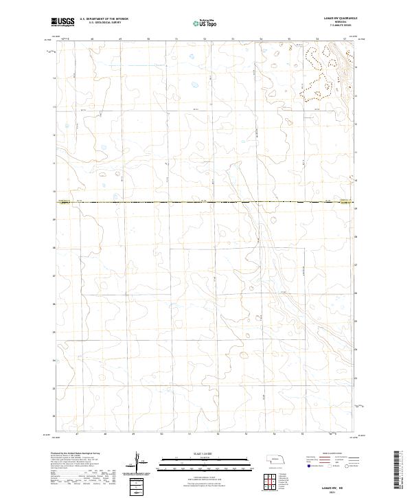
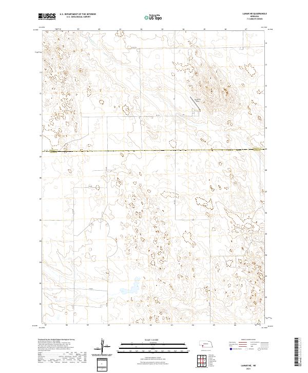
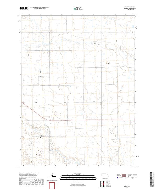 2021 Lamar2021 Print · USGSChase County, Nebraska, reveals its structured agricultural layout in the early twenty-first century. Researchers can locate specific family landmarks and rural sites such as Green Lawn Cem, the Larrabee Farm Airport, and the waters of Arterburn Lake.
 - 2021 Map of Champion, 2021 Print
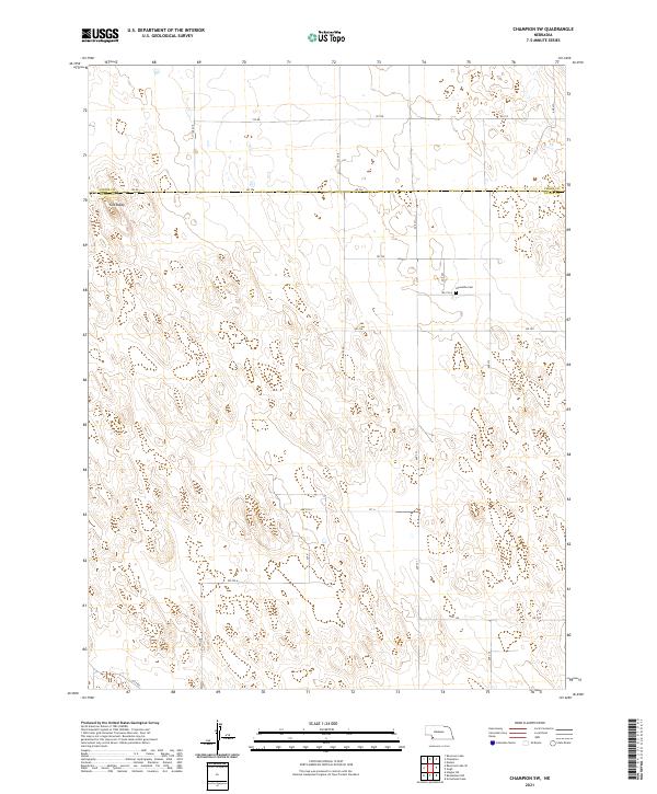
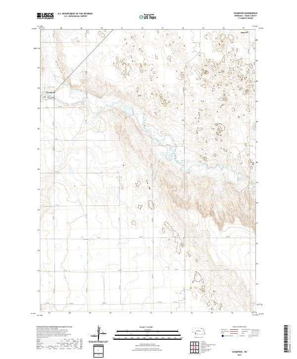 2021 Champion2021 Print · USGSChase County agricultural life and the vital waters of the Frenchman Valley are captured in this recent survey. Local historians can trace the local street layout of Champion and find landmarks like the PO or the Hoffmeister Reservoir.
 - 2021 Map of Wauneta SW, 2021 Print
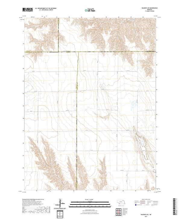
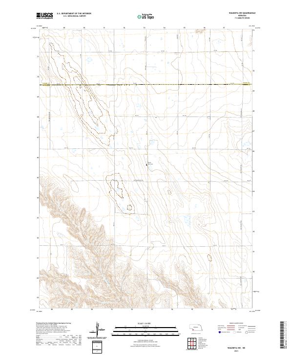 2021 Wauneta SW2021 Print · USGSThe Dundy County borderlands are documented here in 2021, showing the remote agricultural landscape and canyon breaks of southwest Nebraska. Genealogists and local historians can locate Mount Zion Cem and trace the course of Muddy Cr through the southern draws.
 - 2021 Map of Wauneta East, 2021 Print
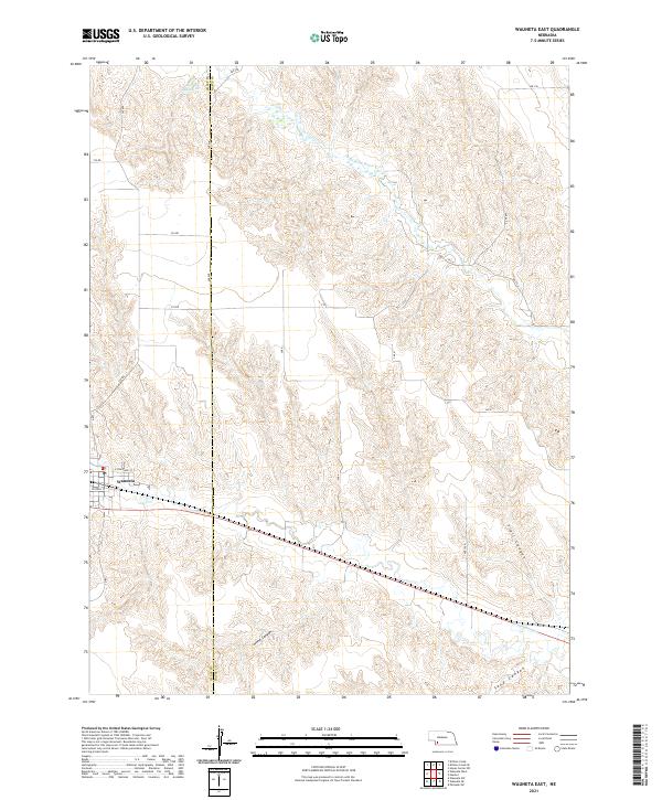 2021 Wauneta East2021 Print · USGSThe village of Wauneta sits at the edge of a dissected plains landscape in the early twenty-first century. Genealogists and local historians can trace the rural road grid and canyon systems, from the waters of Moody Reservoir to the depths of Horse Canyon.
 - 2021 Map of Wauneta SE, 2021 Print
 2021 Wauneta SE2021 Print · USGSHitchcock County and the surrounding Nebraska panhandle borderlands are captured here in the early twenty-first century. Genealogists and land researchers can trace property boundaries along Co Line Rd and locate geographic markers like Sand Canyon or Milken Canyon.
 - 2021 Map of Arterburn Lake, 2021 Print
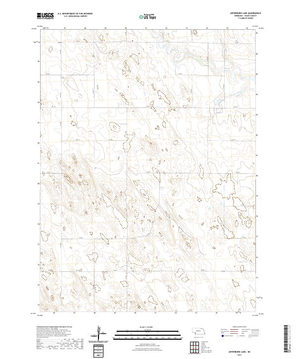 2021 Arterburn Lake2021 Print · USGSChase County, Nebraska, is documented here in its contemporary agricultural state during the early 2020s. Genealogists and local historians can trace modern land divisions and property access along 316 Ave and near the waters of Mcguires Slough.
 - 2021 Map of Ough, 2021 Print
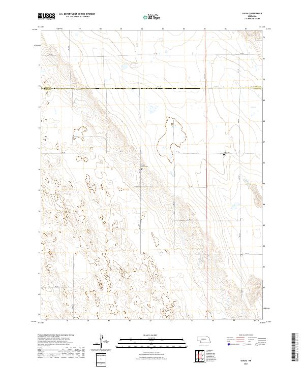 2021 Ough2021 Print · USGSThe Dundy and Chase County line comes into focus in this recent survey of the Nebraska prairie. Genealogists can locate family burial sites at Ough Cem and Sleepy Hollow Cem near the banks of Muddy Creek.
 - 2021 Map of Imperial NE, 2021 Print
 2021 Imperial NE2021 Print · USGSThe high plains along the Perkins Co Chase Co border are captured in this modern survey of Nebraska's open cattle and farm country. Genealogists and local historians can trace property boundaries and rural access via 334 Ave, 745 Rd, and Rd 753.
 - 2021 Map of Reservoir Lake SE, 2021 Print
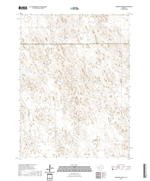 2021 Reservoir Lake SE2021 Print · USGSThe borderlands of Chase and Dundy Counties are captured here in the early 2020s, showing a traditional Nebraska agricultural landscape. Local historians can trace rural routes like Green Rd and Lutz Rd as they connect the settlement of Lamont to the surrounding sections.
 - 2021 Map of Dittons Creek SE, 2021 Print
 2021 Dittons Creek SE2021 Print · USGSNear the border of Chase and Hayes Counties in 2021, the landscape shows a network of remote section roads and prairie drainages. Genealogists and historians can locate rural burial grounds including Saint John Cemetery and Elmer Cemetery or trace the path of Stinking Water Creek.
 - 2021 Map of Imperial NW, 2021 Print
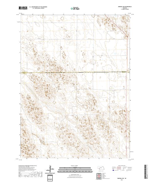 2021 Imperial NW2021 Print · USGSChase and Perkins Counties are captured in this modern survey of the Nebraska plains during the early twenty-first century. Genealogists and local historians can trace modern property access via 750 Rd, 331 Ave, and the county line at Chase Co.
 - 2021 Map of Wauneta West, 2021 Print
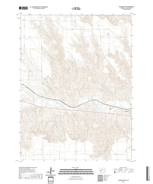 2021 Wauneta West2021 Print · USGSThe village of Wauneta and the surrounding Chase County plains are documented here in the early twenty-first century. Researchers can trace local property lines and site locations from Riverside Cem to rural routes like Old Hwy 6 and Rd 734.
 - 2021 Map of Champion SW, 2021 Print
 2021 Champion SW2021 Print · USGSDundy County's high plains are captured here in the early 2020s, showing the remote borderlands between Nebraska's southwestern counties. Local researchers can locate Hiawatha Cem, the prominent Old Baldy, and the grid of rural routes like RD 726.
 - 2021 Map of Imperial Municipal Airport, 2021 Print
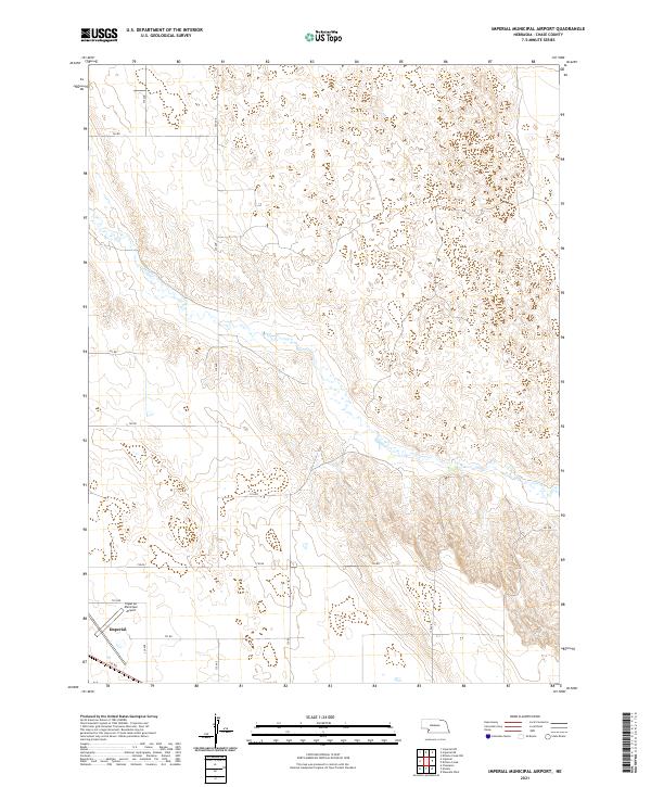 2021 Imperial Municipal Airport2021 Print · USGSChase County's high plains are documented here in the early 2020s, centered on the aviation and transit hub of the southwest. Genealogists and local researchers can trace the modern boundaries of Imperial and find landmarks like Imperial Municipal Airport and Spring Cr.
 - 2021 Map of Dittons Creek NE, 2021 Print
 2021 Dittons Creek NE2021 Print · USGSThe intersection of Chase, Perkins, and Hayes counties comes into focus in this modern survey of the Nebraska high plains. Genealogists and local historians can locate the Attica Cem and trace the distinctive drainage of Cliff Dwellers Canyon.
 - 2021 Map of Lamar NW, 2021 Print
 2021 Lamar NW2021 Print · USGSThe borderlands of Perkins and Chase counties are captured here in the early twenty-first century, showcasing a landscape of high plains agriculture. Researchers can trace the section-line road network including Brandon Rd, Rd 750, and 318 Ave across this remote Nebraska terrain.
 - 2021 Map of Enders, 2021 Print
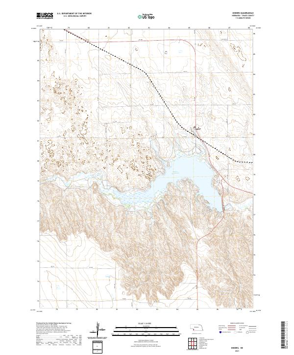 2021 Enders2021 Print · USGSChase County, Nebraska, is seen here in the early 2020s, centered on the significant basin of Enders Reservoir. Researchers can trace the local road network and settlement patterns around Enders and the path of Frenchman Cr.
 - 2021 Map of Dittons Creek, 2021 Print
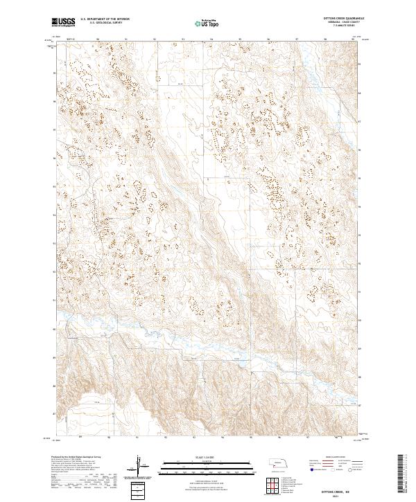 2021 Dittons Creek2021 Print · USGSChase County, Nebraska, is seen here in recent years as a landscape of grid-aligned farms and winding prairie creeks. Researchers can trace the section-line roads and the riparian corridors of Stinking Water Cr and Dittons Cr through the township of T8N R37W.
 - 2021 Map of Reservoir Lake, 2021 Print
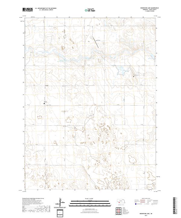 2021 Reservoir Lake2021 Print · USGSSouthwest Nebraska's ranching country is documented here in the early twenty-first century, showing the intricate water systems of the Frenchman Creek valley. Genealogists can locate family landmarks such as Lake View Cem, Pleasant View Cem, and the settlement of Crete.
 - 2021 Map of Reservoir Lake SW, 2021 Print
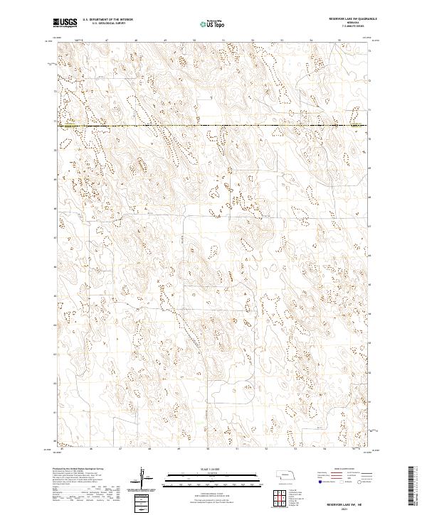 2021 Reservoir Lake SW2021 Print · USGSThe Nebraska high plains at the Chase and Dundy county line are shown here as they appeared in 2021. Researchers can trace the rural road network including Haigler Rd, Rd 726, and Cty Rd 724 across this open agricultural landscape.
 - 2021 Map of Chase, 2021 Print
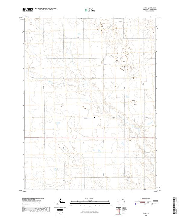 2021 Chase2021 Print · USGSChase County, Nebraska, is documented here in the early twenty-first century as a sprawling agricultural landscape defined by its section-line roads and prairie drainage. Researchers can locate the Chase Cem and trace the paths of Wildhorse Cr and Sand Draw.
 - 2021 Map of Lamar NE, 2021 Print
 2021 Lamar NE2021 Print · USGSThe high plains of western Nebraska are captured here in the early twenty-first century, showing the intersection of Perkins and Chase counties. Researchers can trace the section-line road network and locate private landmarks such as Hendricks Field and the Spring Cr drainage.
 - 2021 Map of Imperial, 2021 Print
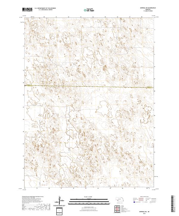
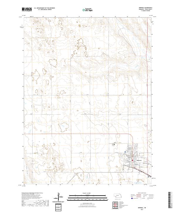 2021 Imperial2021 Print · USGSIn the early twenty-first century, Imperial remains the quintessential High Plains county seat, defined by its orderly street grid and surrounding ranchlands. Genealogists and local historians can locate the Chase County Courthouse, Mount Hope Cem, and the historic drainage of Sand Draw.
 - 2022 Map of Alvin, 2022 Print
 2022 Alvin2022 Print · USGSThe high plains along the Colorado and Nebraska border appear here as a land of structured section lines and quiet crossroads. Genealogists and local historians can trace the rural layout around Alvin and the lonely Hughes Cem at the county divide.
Showing maps 1-25 of 28
Top cities of Chase County
Frequently asked questions
- What are the different types of historical maps available for Chase County?
- What is the oldest map of Chase County?
- Where can I purchase historical maps of Chase County for my home or office?
- Where can I download high-res historical maps of Chase County?
- Are there historical topographic maps available for Chase County?
- Is there historical aerial imagery available for Chase County?
- Where are historical maps of Chase County sourced from?