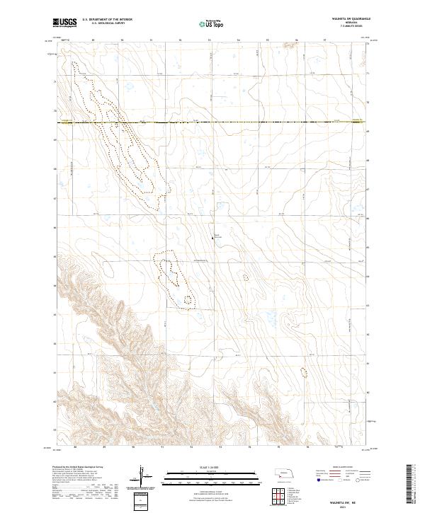
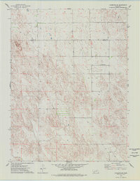
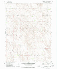
2021 Map of Wauneta SW
USGS Topo · Published 2021This historical map portrays the area of Wauneta SW in 2021, primarily covering Dundy County as well as portions of Chase County. Featuring a scale of 1:24000, this map provides a highly detailed snapshot of the terrain, roads, buildings, counties, and historical landmarks in the Wauneta SW region at the time. Published in 2021, it is the sole known edition of this map.
Find a feature on this map
27 named features on this map. Tap any name to fly to it.
Don’t see what you’re looking for? This feature index may not catch every label — zoom into the map to look around manually.
Map Details
Editions of this 2021 Wauneta SW Map
This is the sole edition of this map. No revisions or reprints were ever made.
Historical Maps of Chase County Through Time
22 maps found
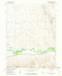
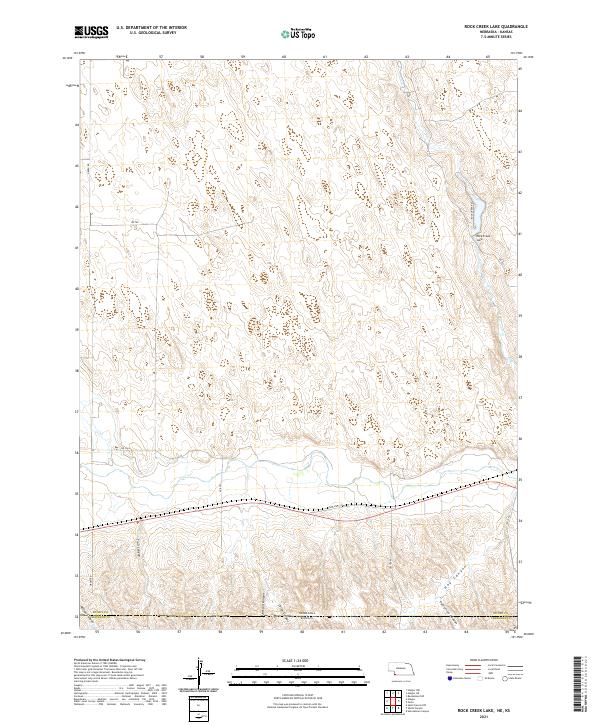
1961 Rock Creek Lake
Dundy County, NE
1973 Arrowhead Lake
Dundy County, NE
1973 Benkelman NW
Dundy County, NE
1973 Champion SW
Dundy County, NE
1973 Haigler NE
Dundy County, NE
1973 Haigler NW
Dundy County, NE
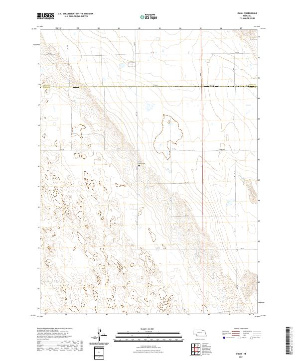
1973 Ough
Dundy County, NE
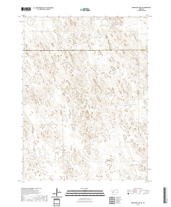
1973 Reservoir Lake SE
Dundy County, NE
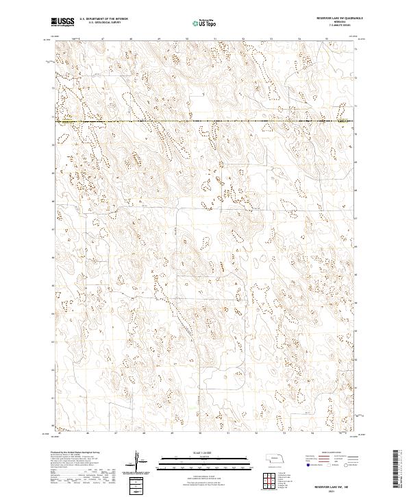
1973 Reservoir Lake SW
Dundy County, NE
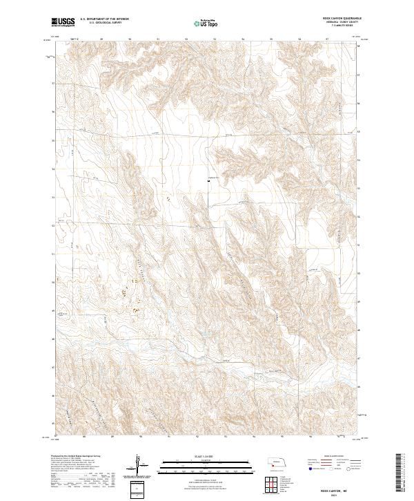
1973 Rock Canyon
Dundy County, NE
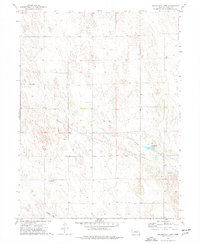
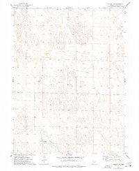
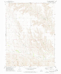
1973 Wauneta SW
Dundy County, NE
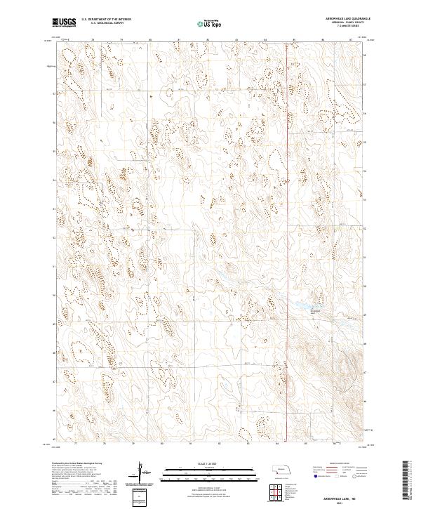
2021 Arrowhead Lake
Dundy County, NE
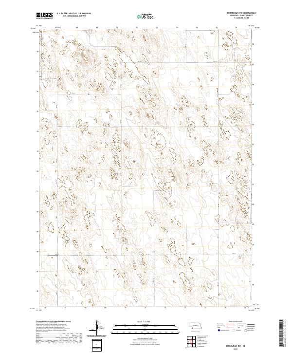
2021 Benkelman NW
Dundy County, NE
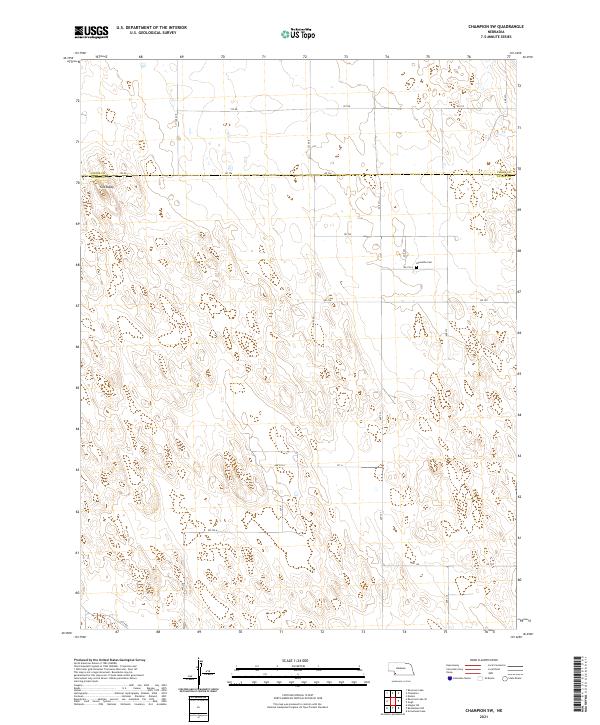
2021 Champion SW
Dundy County, NE
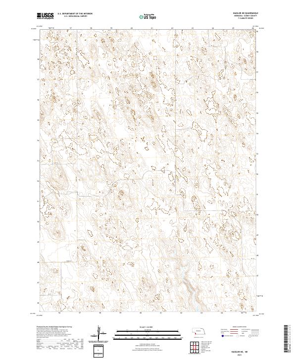
2021 Haigler NE
Dundy County, NE
2021 Haigler NW
Dundy County, NE
2021 Ough
Dundy County, NE
2021 Reservoir Lake SE
Dundy County, NE
2021 Reservoir Lake SW
Dundy County, NE
2021 Rock Canyon
Dundy County, NE
2021 Rock Creek Lake
Dundy County, NE
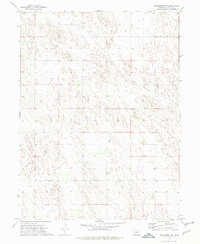
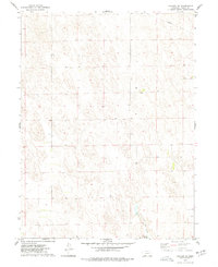
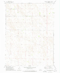
2021 Wauneta SW
Dundy County, NE