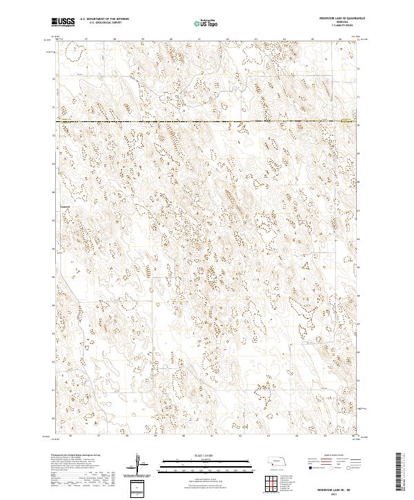
2021 Map of Reservoir Lake SE
USGS Topo · Published 2021About this map
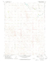
Lamont sits in the western portion of this high plains landscape, situated near the boundary between Chase Co and Dundy Co in southwest Nebraska. The region is defined by a sparse network of section-line roads, such as Green Rd and Lutz Rd, which navigate a terrain marked by numerous depressions and localized drainage patterns. The agricultural grid is firmly established here, with townships including t4n r40w and t5n r39w organizing the rural space into the large parcels characteristic of the state's western ranching and farming country. This survey by the U.S. Geological Survey provides a clear view of the rural infrastructure at the start of the 2020s, documenting the exact placement of local corridors like 326 Ave and Rd 722 that connect these remote homesteads and fields.
Find a feature on this map
22 named features on this map. Tap any name to fly to it.
Don’t see what you’re looking for? This feature index may not catch every label — zoom into the map to look around manually.
Map Details
Editions of this 2021 Reservoir Lake SE Map
This is the sole edition of this map. No revisions or reprints were ever made.
Other maps of this area

1954 · McCook
USGS Topo · 1:250,000

1957 · McCook
USGS Topo · 1:250,000

1958 · McCook
USGS Topo · 1:250,000

1973 · Champion
USGS Topo · 1:24,000
1973 · Haigler NE
USGS Topo · 1:24,000

1973 · Champion SW
USGS Topo · 1:24,000

1973 · Reservoir Lake SE
USGS Topo · 1:24,000
1973 · Reservoir Lake SW
USGS Topo · 1:24,000
1973 · Benkelman NW
USGS Topo · 1:24,000
1973 · Arterburn Lake
USGS Topo · 1:24,000