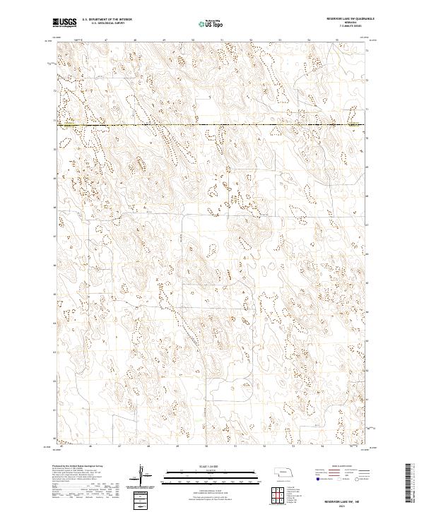
2021 Map of Reservoir Lake SW
USGS Topo · Published 2021About this map
The border between Chase Co Dundy Co bisects this High Plains landscape, where the township and range survey system governs the sparse road network. In the southern half of the map, Haigler Rd runs north-south, connecting the agricultural holdings between Township 4 North, Range 41 West and Township 3 North, Range 41 West. This 2021 survey shows a terrain defined by intermittent drainage patterns and small depressions characteristic of the Nebraska sandhills region. A grid of section lines is maintained by unpaved routes such as Rd 726 and Rd 724, which serve as the primary conduits through the open grazing and farm lands of western Nebraska. The geography here is notably open, with very few named features outside of the survey boundaries and the essential rural road infrastructure like Cty Rd 724.
Find a feature on this map
13 named features on this map. Tap any name to fly to it.
Don’t see what you’re looking for? This feature index may not catch every label — zoom into the map to look around manually.
Map Details
Editions of this 2021 Reservoir Lake SW Map
This is the sole edition of this map. No revisions or reprints were ever made.
Other maps of this area

1954 · Sterling
USGS Topo · 1:250,000

1954 · McCook
USGS Topo · 1:250,000

1957 · McCook
USGS Topo · 1:250,000

1958 · McCook
USGS Topo · 1:250,000

1958 · Sterling
USGS Topo · 1:250,000

1971 · Alvin
USGS Topo · 1:24,000

1971 · Wray NE
USGS Topo · 1:24,000

1971 · Alvin NE
USGS Topo · 1:24,000
1973 · Haigler NE
USGS Topo · 1:24,000

1973 · Reservoir Lake SE
USGS Topo · 1:24,000