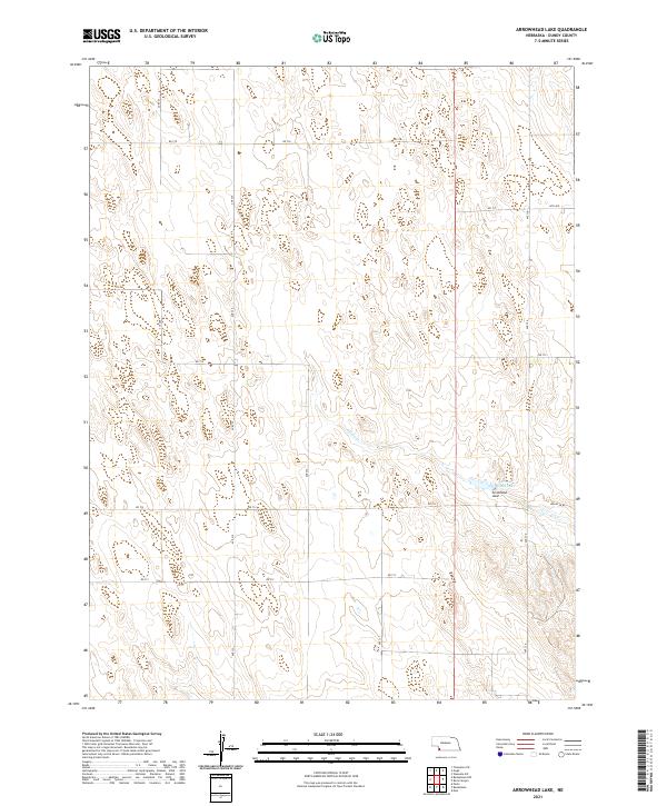
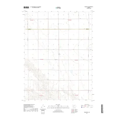
2021 Map of Arrowhead Lake
USGS Topo · Published 2021About this map
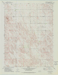
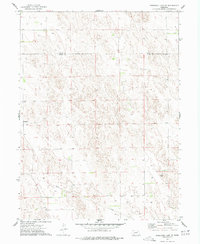
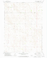
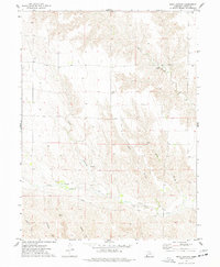
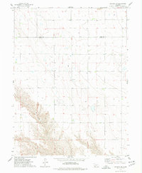
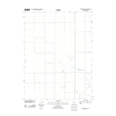
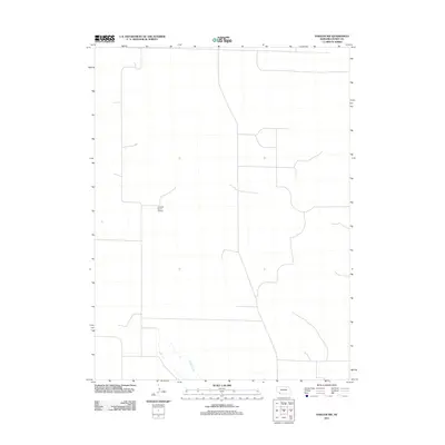
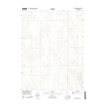
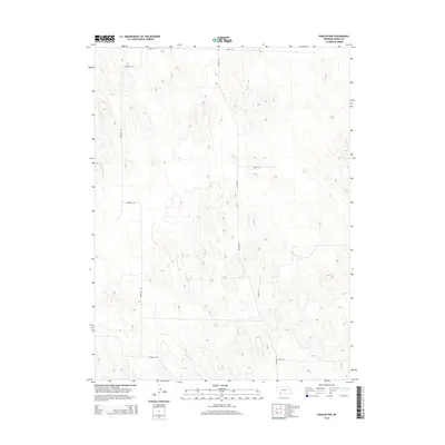
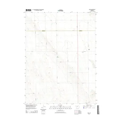
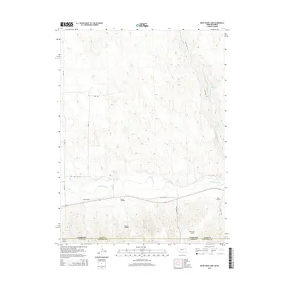
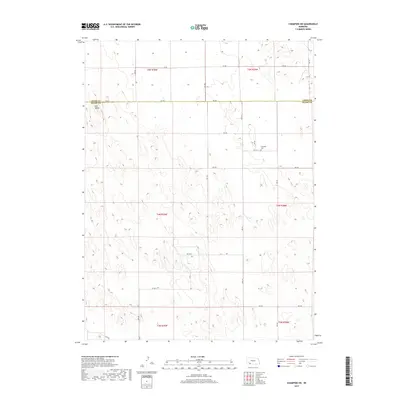
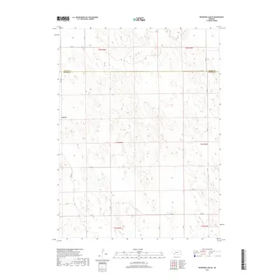
Arrowhead Lake sits at the heart of this high-plains landscape in Dundy County, providing a vital water source in an area dominated by sandhills and drainage basins. The map illustrates a strictly rectilinear section-line road network, where routes like Ave 335 and Ave 339 provide access across the townships of t3n r38w and t2n r37w. This systematic grid reflects the enduring influence of the Public Land Survey System on the Nebraska panhandle, dividing the open range into predictable parcels for ranching and agriculture.
Find a feature on this map
20 named features on this map. Tap any name to fly to it.
Don’t see what you’re looking for? This feature index may not catch every label — zoom into the map to look around manually.
Map Details
Editions of this 2021 Arrowhead Lake Map
This is the sole edition of this map. No revisions or reprints were ever made.
Historical Maps of Dundy County Through Time
55 maps found
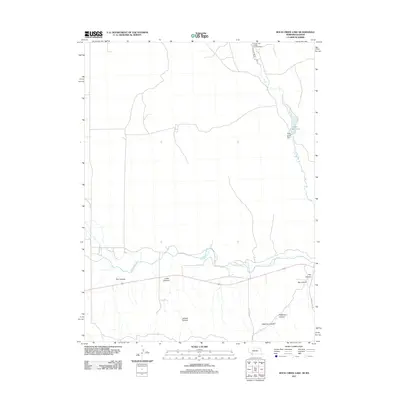
1961 Rock Creek Lake
Dundy County, NE
1973 Arrowhead Lake
Dundy County, NE
1973 Benkelman NW
Dundy County, NE
1973 Champion SW
Dundy County, NE
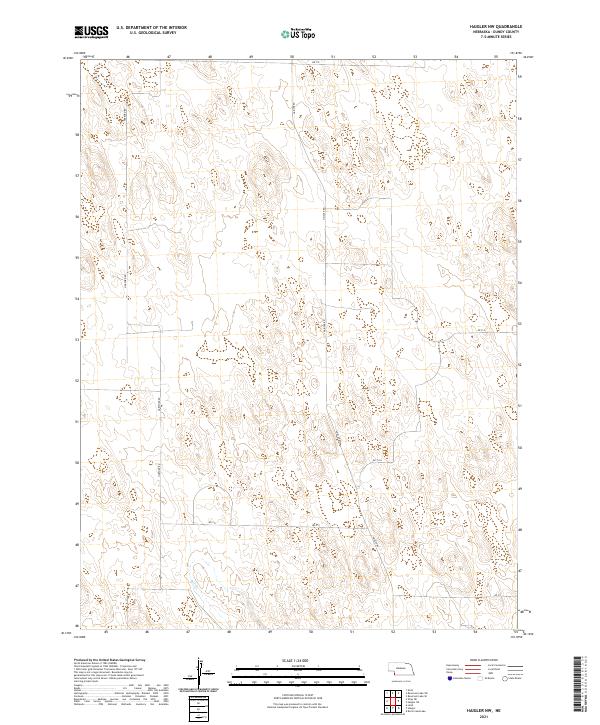
1973 Haigler NE
Dundy County, NE
1973 Haigler NW
Dundy County, NE
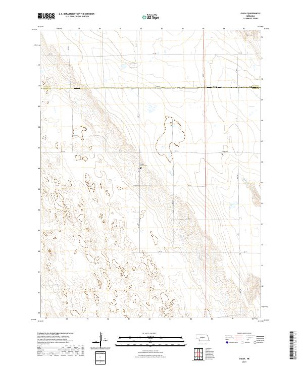
1973 Ough
Dundy County, NE
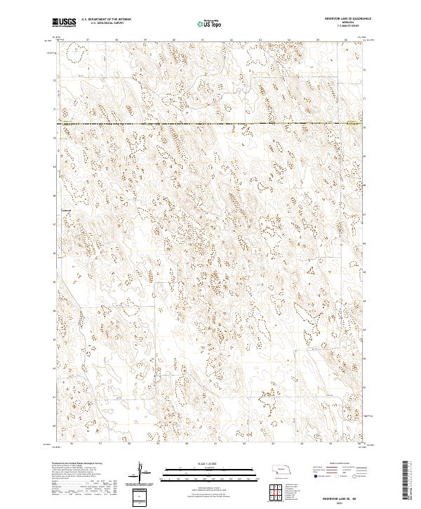
1973 Reservoir Lake SE
Dundy County, NE
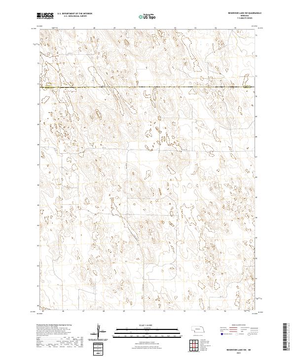
1973 Reservoir Lake SW
Dundy County, NE
1973 Rock Canyon
Dundy County, NE
1973 Wauneta SW
Dundy County, NE
2011 Arrowhead Lake
Dundy County, NE
2011 Benkelman NW
Dundy County, NE
2011 Champion SW
Dundy County, NE
2011 Haigler NE
Dundy County, NE
2011 Haigler NW
Dundy County, NE
2011 Ough
Dundy County, NE
2011 Reservoir Lake SE
Dundy County, NE
2011 Reservoir Lake SW
Dundy County, NE
2011 Rock Canyon
Dundy County, NE
2011 Rock Creek Lake
Dundy County, NE
2011 Wauneta SW
Dundy County, NE
2014 Arrowhead Lake
Dundy County, NE
2014 Benkelman NW
Dundy County, NE
2014 Champion SW
Dundy County, NE
2014 Haigler NE
Dundy County, NE
2014 Haigler NW
Dundy County, NE
2014 Ough
Dundy County, NE
2014 Reservoir Lake SE
Dundy County, NE
2014 Reservoir Lake SW
Dundy County, NE
2014 Rock Canyon
Dundy County, NE
2014 Rock Creek Lake
Dundy County, NE
2014 Wauneta SW
Dundy County, NE
2017 Arrowhead Lake
Dundy County, NE
2017 Benkelman NW
Dundy County, NE
2017 Champion SW
Dundy County, NE
2017 Haigler NE
Dundy County, NE
2017 Haigler NW
Dundy County, NE
2017 Ough
Dundy County, NE
2017 Reservoir Lake SE
Dundy County, NE
2017 Reservoir Lake SW
Dundy County, NE
2017 Rock Canyon
Dundy County, NE
2017 Rock Creek Lake
Dundy County, NE
2017 Wauneta SW
Dundy County, NE
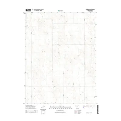
2021 Arrowhead Lake
Dundy County, NE
2021 Benkelman NW
Dundy County, NE
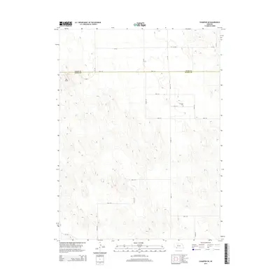
2021 Champion SW
Dundy County, NE
2021 Haigler NE
Dundy County, NE
2021 Haigler NW
Dundy County, NE
2021 Ough
Dundy County, NE
2021 Reservoir Lake SE
Dundy County, NE
2021 Reservoir Lake SW
Dundy County, NE
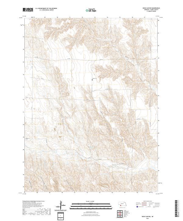
2021 Rock Canyon
Dundy County, NE
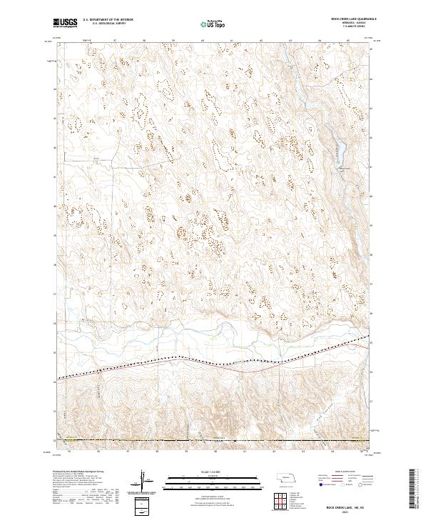
2021 Rock Creek Lake
Dundy County, NE
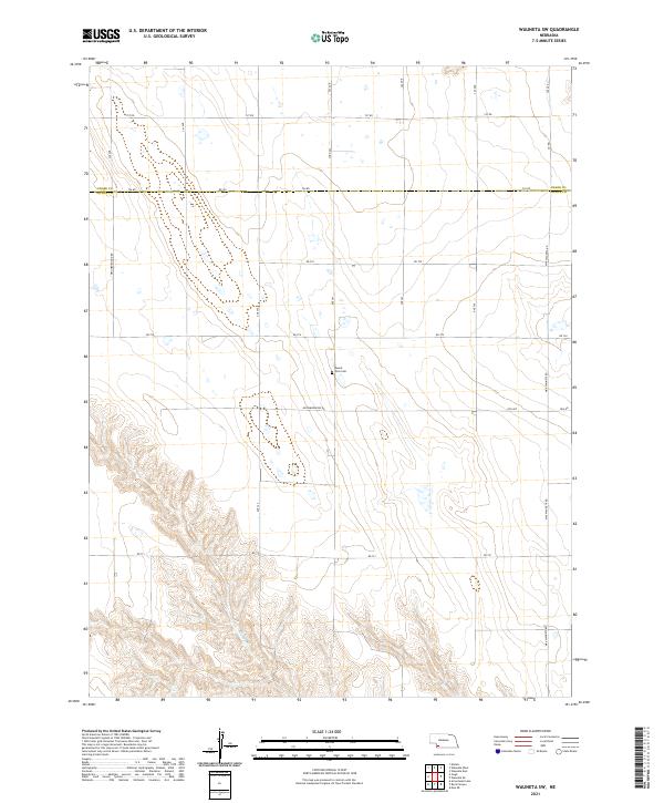
2021 Wauneta SW
Dundy County, NE