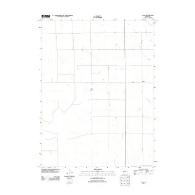
2011 Map of Ough
USGS Topo · Published 2011About this map
Ough is a quiet agricultural settlement in Dundy County, Nebraska, where the landscape is defined by the section-line grid typical of the High Plains. Two local burial grounds, Ough Cemetery and Sleepy Hollow Cemetery, serve as key landmarks for genealogists tracing early families in this corner of the state. The terrain is largely defined by open expanses and drainage patterns of the Muddy Creek, which wanders through the eastern portion of the quadrangle. Transportation is strictly functional, relying on a network of unpaved rural routes such as 339 Ave and 727 Rd that connect isolated homesteads and ranching operations. The 2011 survey reflects the enduring rural character of the region, where settlement patterns remain sparse and heavily tied to the land and its limited water resources.
Find a feature on this map
10 named features on this map. Tap any name to fly to it.
Don’t see what you’re looking for? This feature index may not catch every label — zoom into the map to look around manually.
Map Details
Editions of this 2011 Ough Map
This is the sole edition of this map. No revisions or reprints were ever made.
Other maps of this area

1954 · McCook
USGS Topo · 1:250,000

1957 · McCook
USGS Topo · 1:250,000

1958 · McCook
USGS Topo · 1:250,000

1973 · Champion
USGS Topo · 1:24,000

1973 · Enders
USGS Topo · 1:24,000

1973 · Champion SW
USGS Topo · 1:24,000

1973 · Ough
USGS Topo · 1:24,000

1973 · Wauneta SW
USGS Topo · 1:24,000
1973 · Benkelman NW
USGS Topo · 1:24,000
1973 · Rock Canyon
USGS Topo · 1:24,000