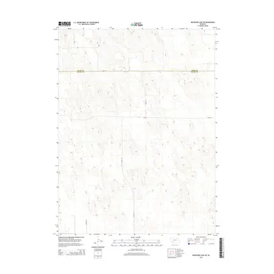
2014 Map of Reservoir Lake SW
USGS Topo · Published 2014About this map
The jurisdictional boundary between Chase Co and Dundy Co bisects this High Plains landscape, defined by a sparse but regular grid of county roads. The terrain is characterized by subtle topographic contours typical of southwestern Nebraska, where agricultural land is partitioned by long arterial routes like Haigler Rd and Harford Rd. Settlement is notably minimal, reflecting the region's vast open-space character and the dominance of large-scale land management. Sections of the map illustrate the transition between these two counties along Road 726, providing a clear record of the rural transportation network including 314 Ave and Avenue 317 as they existed in the early twenty-first century.
Find a feature on this map
7 named features on this map. Tap any name to fly to it.
Don’t see what you’re looking for? This feature index may not catch every label — zoom into the map to look around manually.
Map Details
Editions of this 2014 Reservoir Lake SW Map
This is the sole edition of this map. No revisions or reprints were ever made.
Other maps of this area

1954 · Sterling
USGS Topo · 1:250,000

1954 · McCook
USGS Topo · 1:250,000

1957 · McCook
USGS Topo · 1:250,000

1958 · McCook
USGS Topo · 1:250,000

1958 · Sterling
USGS Topo · 1:250,000

1971 · Alvin
USGS Topo · 1:24,000

1971 · Wray NE
USGS Topo · 1:24,000

1971 · Alvin NE
USGS Topo · 1:24,000
1973 · Haigler NE
USGS Topo · 1:24,000

1973 · Reservoir Lake SE
USGS Topo · 1:24,000