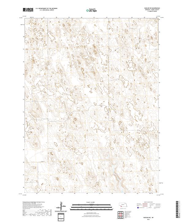
2021 Map of Haigler NE
USGS Topo · Published 2021About this map
Dundy County’s rolling plains are etched with the Public Land Survey System in this 2021 study of the Nebraska landscape. The map reveals the precise grid of section lines and townships, including t3n r40w and t2n r39w, which organize the rural acreage north of the Republican River valley. The primary infrastructure consists of a sparse network of county roads following these section boundaries, such as Green Rd and north-south thoroughfares like Ave 324 and Ave 326. This layout illustrates the enduring legacy of the Homestead Act and the systematic division of the American West. While largely devoid of dense settlements, the map provides a detailed topographic record of the natural depressions and drainage patterns that define this section of the High Plains, offering a clear view of the territory’s modern rural organization.
Find a feature on this map
11 named features on this map. Tap any name to fly to it.
Don’t see what you’re looking for? This feature index may not catch every label — zoom into the map to look around manually.
Map Details
Editions of this 2021 Haigler NE Map
This is the sole edition of this map. No revisions or reprints were ever made.
Other maps of this area

1954 · McCook
USGS Topo · 1:250,000

1957 · McCook
USGS Topo · 1:250,000

1958 · McCook
USGS Topo · 1:250,000
1961 · Parks
USGS Topo · 1:24,000
1961 · Rock Creek Lake
USGS Topo · 1:24,000
1961 · Haigler
USGS Topo · 1:24,000
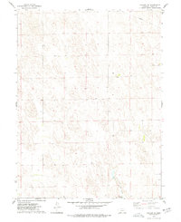
1973 · Haigler NE
USGS Topo · 1:24,000

1973 · Champion SW
USGS Topo · 1:24,000

1973 · Reservoir Lake SE
USGS Topo · 1:24,000
1973 · Reservoir Lake SW
USGS Topo · 1:24,000