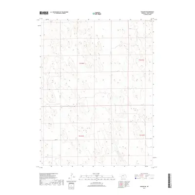
2017 Map of Haigler NE
USGS Topo · Published 2017About this map
Rock Creek winds through the southeastern corner of this Dundy County landscape, providing the primary hydrological relief in a terrain otherwise defined by a systematic grid of section lines and rural thoroughfares. Surveyed in the early 21st century, the map reveals a sparsely populated agricultural region structured by the Public Land Survey System, including townships t3n r40w and t2n r39w. The human imprint on the land is most visible through its local road network, where routes like Green Rd and Ave 324 cut straight paths across the undulating topography. This document serves as a precise record of rural land divisions and the subtle drainage patterns that dictate the placement of ranching or farming infrastructure in Nebraska's far southwest.
Find a feature on this map
12 named features on this map. Tap any name to fly to it.
Don’t see what you’re looking for? This feature index may not catch every label — zoom into the map to look around manually.
Map Details
Editions of this 2017 Haigler NE Map
This is the sole edition of this map. No revisions or reprints were ever made.
Other maps of this area

1954 · McCook
USGS Topo · 1:250,000

1957 · McCook
USGS Topo · 1:250,000

1958 · McCook
USGS Topo · 1:250,000
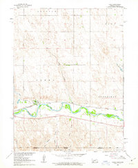
1961 · Parks
USGS Topo · 1:24,000
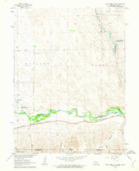
1961 · Rock Creek Lake
USGS Topo · 1:24,000
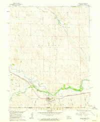
1961 · Haigler
USGS Topo · 1:24,000
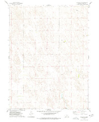
1973 · Haigler NE
USGS Topo · 1:24,000

1973 · Champion SW
USGS Topo · 1:24,000

1973 · Reservoir Lake SE
USGS Topo · 1:24,000
1973 · Reservoir Lake SW
USGS Topo · 1:24,000