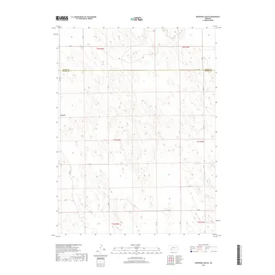
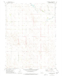
2017 Map of Reservoir Lake SE
USGS Topo · Published 2017About this map
The high plains of southwest Nebraska are captured here at the boundary of Chase Co and Dundy Co. The landscape is dominated by the intricate topography of the sandhills, where countless depressions and ridges form a complex drainage pattern typical of the region. The settlement of Lamont sits on the western edge of the quadrangle, serving as a primary point of reference in this sparsely populated agricultural area.
Find a feature on this map
23 named features on this map. Tap any name to fly to it.
Don’t see what you’re looking for? This feature index may not catch every label — zoom into the map to look around manually.
Map Details
Editions of this 2017 Reservoir Lake SE Map
This is the sole edition of this map. No revisions or reprints were ever made.
Other maps of this area

1954 · McCook
USGS Topo · 1:250,000

1957 · McCook
USGS Topo · 1:250,000

1958 · McCook
USGS Topo · 1:250,000

1973 · Champion
USGS Topo · 1:24,000
1973 · Haigler NE
USGS Topo · 1:24,000

1973 · Champion SW
USGS Topo · 1:24,000

1973 · Reservoir Lake SE
USGS Topo · 1:24,000
1973 · Reservoir Lake SW
USGS Topo · 1:24,000
1973 · Benkelman NW
USGS Topo · 1:24,000
1973 · Arterburn Lake
USGS Topo · 1:24,000