2010s Maps of Chase County, Nebraska
Explore 88 historic maps of Chase County from the 2010s. These maps offer a rare glimpse into what life looked like during the 2010s — showing old roads, neighborhoods, homes, and landmarks that have changed or disappeared over time.
Whether you're researching your family's past, planning a metal detecting trip, or studying how Chase County's landscape evolved across the 2010s, these high-resolution maps are a powerful tool for exploring the history of this region.
- Focus on a specific era: All maps on this page are from the 2010s, giving you a focused view of this time period.
- See what’s changed: Compare century-old streets, trails, and buildings to today's modern landscape using overlays and satellite layers.
- Research with precision: Use these maps for genealogy, historical research, land use analysis, or educational projects.
- View, download, or print: Maps are fully viewable online in high resolution, and can be downloaded or printed for your own records.
Start exploring Chase County's history through authentic maps from the 2010s. This is your window into the past.
Chase County, NE maps
(88)- 2010 Map of Alvin, 2010 Print
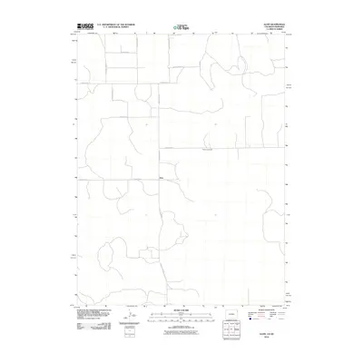 2010 Alvin2010 Print · USGSThe Colorado-Nebraska borderlands are captured here in the early twenty-first century, showing the remote agricultural landscape of Yuma County. Researchers can trace rural landmarks and family burial sites like Hughes Cemetery or the sparse settlement at Alvin.
 - 2010 Map of Amherst SE, 2010 Print
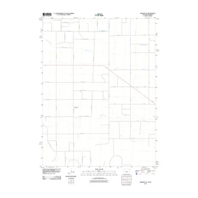 2010 Amherst SE2010 Print · USGSChase County, Nebraska, is seen here at the start of the 2010s, showing a meticulously gridded agricultural landscape. Researchers can locate the Pleasant Valley Cemetery and trace the paths of Frenchman Creek and Wildhorse Creek.
 - 2010 Map of Alvin NE, 2010 Print
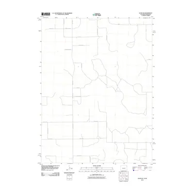 2010 Alvin NE2010 Print · USGSThe Colorado-Nebraska borderlands are shown here in the early twenty-first century, featuring the precise section-line road grid of the High Plains. Researchers can trace rural property access and drainage along Creek 60, County Rd NN.5, and County Rd SS.
 - 2010 Map of Amherst NE, 2010 Print
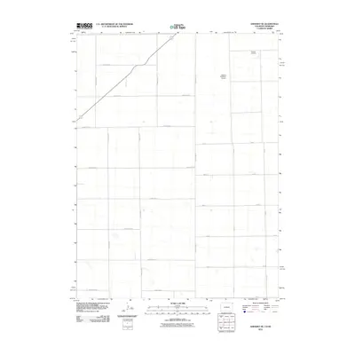 2010 Amherst NE2010 Print · USGSThe high plains of the Colorado-Nebraska border are captured here during the early twenty-first century, showing a landscape of organized agriculture and rural transit. Genealogists and local historians can locate Venango Cemetery and trace the proximity of Dodson Brothers Airport to the sectional road network.
 - 2011 Map of Dittons Creek SE, 2011 Print
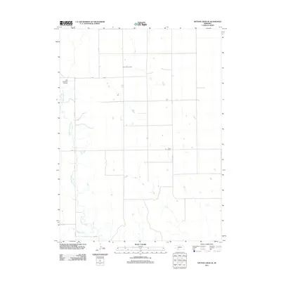 2011 Dittons Creek SE2011 Print · USGSChase County remains a landscape of high plains and deep-cut drainages in the early twenty-first century. Genealogists and historians can locate remote landmarks like Saint John Cemetery, Elmer Cemetery, and the strikingly named Cliff Dwellers Canyon.
 - 2011 Map of Imperial NE, 2011 Print
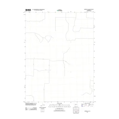 2011 Imperial NE2011 Print · USGSChase County in the early twenty-first century shows a landscape of expansive Nebraska prairie and organized agriculture. Genealogists and land researchers can trace property boundaries along the section-line grid of 334 Ave, 749 Rd, and 337 Ave.
 - 2011 Map of Wauneta SW, 2011 Print
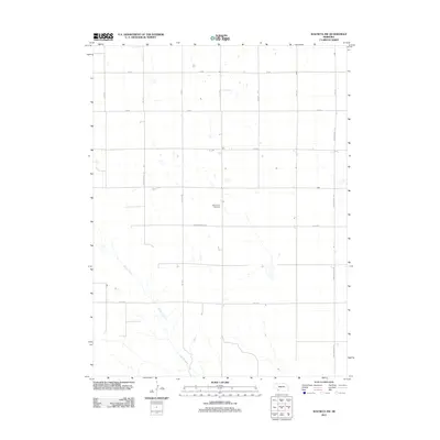 2011 Wauneta SW2011 Print · USGSSouthwest Nebraska's high plains are captured here in the early twenty-first century, showing a landscape shaped by a precise section-line grid and sparse water. Genealogists and local historians can locate Mount Zion Cemetery and trace the meandering path of Muddy Creek through the surrounding farmland.
 - 2011 Map of Ough, 2011 Print
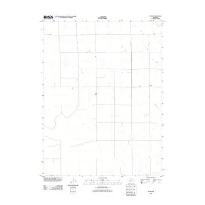 2011 Ough2011 Print · USGSDundy County, Nebraska, maintains its quiet ranching character in this early twenty-first-century survey of the High Plains. Genealogists can locate family names at Ough Cemetery and Sleepy Hollow Cemetery or trace the drainage of Muddy Creek.
 - 2011 Map of Reservoir Lake SW, 2011 Print
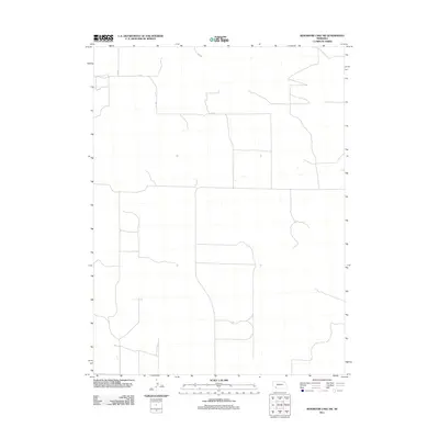 2011 Reservoir Lake SW2011 Print · USGSChase County’s high plains agricultural landscape is meticulously detailed in this early 21st-century survey of southwestern Nebraska. Genealogists and land researchers can trace the precise rural road grid, locating landmarks like 314 Ave, 727 Rd, and 315 Ave.
 - 2011 Map of Imperial Municipal Airport, 2011 Print
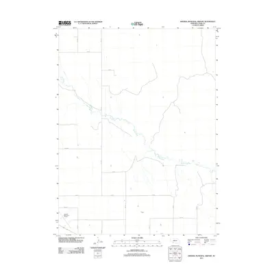 2011 Imperial Municipal Airport2011 Print · USGSChase County agricultural lands and aviation infrastructure are captured here in the early twenty-first century. Genealogists and local historians can map out the rural section lines along 335 Ave and 738 Rd or study the grounds of the Imperial Municipal Airport.
 - 2011 Map of Wauneta West, 2011 Print
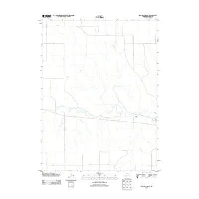 2011 Wauneta West2011 Print · USGSChase County, Nebraska, is captured here in the early twenty-first century as the agricultural grid meets the waters of the Frenchman Creek valley. Family historians can locate Riverside Cemetery or trace the western approaches to Wauneta via W Wichita St.
 - 2011 Map of Reservoir Lake SE, 2011 Print
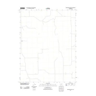 2011 Reservoir Lake SE2011 Print · USGSChase County, Nebraska, is seen here in the early twenty-first century as a landscape of structured agricultural grids and remote prairie outposts. Researchers can trace the layout of the rural settlement at Lamont and follow the section-line roads like 320 Ave and 727 Rd.
 - 2011 Map of Chase, 2011 Print
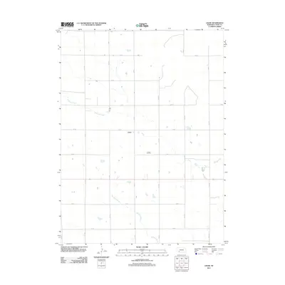 2011 Chase2011 Print · USGSChase County, Nebraska, is captured here in the early twenty-first century, showing the enduring grid of the High Plains. Genealogists and local historians can locate the Chase Cemetery and trace the paths of Wildhorse Creek and the Davidson Branch.
 - 2011 Map of Champion, 2011 Print
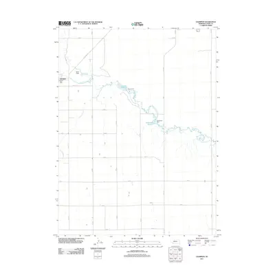 2011 Champion2011 Print · USGSChase County, Nebraska, is documented here in the early twenty-first century as a landscape of managed water and high plains agriculture. Researchers can trace the path of Frenchman Creek through Imperial Reservoir and locate local landmarks like the Champion Post Office.
 - 2011 Map of Enders, 2011 Print
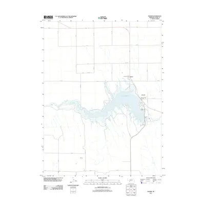 2011 Enders2011 Print · USGSChase County, Nebraska, is defined by its water and agriculture in this early 2010s survey. Researchers can trace the layout of Enders and its recreational landmarks, including the Enders Reservoir, Enders Dam, and the local Post Office.
 - 2011 Map of Lamar, 2011 Print
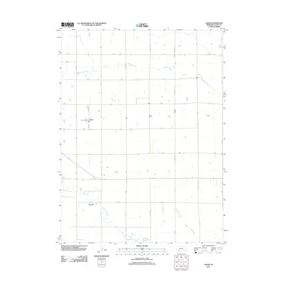 2011 Lamar2011 Print · USGSChase County, Nebraska, is captured here in the early twenty-first century, showing a landscape of structured prairie agriculture and vital water resources. Researchers can locate Lamar and its Lamar Post Office, alongside Green Lawn Cemetery and the Arterburn Reservoir.
 - 2011 Map of Imperial NW, 2011 Print
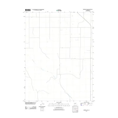 2011 Imperial NW2011 Print · USGSWestern Nebraska's agricultural landscape is captured here in the early twenty-first century, defined by a rigid grid of section roads. Researchers can trace rural property lines and drainage patterns along Spring Creek, 750 Rd, and 331 Ave.
 - 2011 Map of Arterburn Lake, 2011 Print
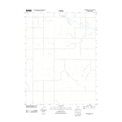 2011 Arterburn Lake2011 Print · USGSChase County agricultural lands are captured here in the early twenty-first century, showing a landscape defined by water management and a precise road grid. Researchers can trace the flow of Frenchman Creek and locate landmarks like Arterburn Lake and the M Abanville Canal.
 - 2011 Map of Wauneta SE, 2011 Print
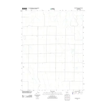 2011 Wauneta SE2011 Print · USGSChase County, Nebraska, is seen here in the early twenty-first century as a landscape of structured agricultural plots and rural flight paths. Researchers can trace the local transit network from Donze Airport along Neighborhood Rd and Co Line Rd.
 - 2011 Map of Dittons Creek NW, 2011 Print
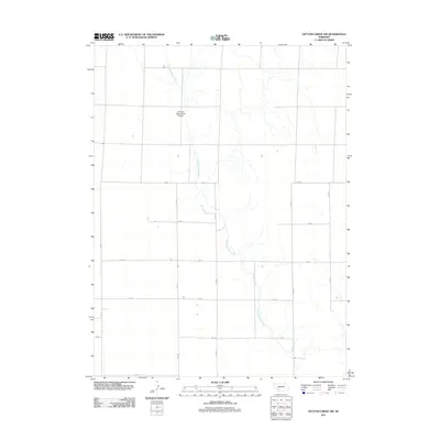 2011 Dittons Creek NW2011 Print · USGSChase County agricultural lands are captured here in the early twenty-first century, showing the intersection of rural infrastructure and Nebraska prairie. Researchers can trace the path of Stinking Water Creek and locate the Stinking Water Creek Airport among the section roads like 750 Rd.
 - 2011 Map of Lamar NW, 2011 Print
 2011 Lamar NW2011 Print · USGSChase County, Nebraska, is shown here in the early twenty-first century, revealing a landscape defined by an orderly grid of rural section-line roads. Genealogists and local historians can trace specific properties and transport routes like Brandon Rd and 748 Rd.
 - 2011 Map of Wauneta East, 2011 Print
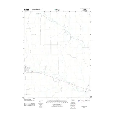 2011 Wauneta East2011 Print · USGSChase County agricultural lands and the valley of Frenchman Creek are captured here in the early twenty-first century. Researchers can trace the layout of Wauneta and its Wauneta Post Office, alongside rural landmarks like Moody Reservoir and Horse Canyon.
 - 2011 Map of Champion SW, 2011 Print
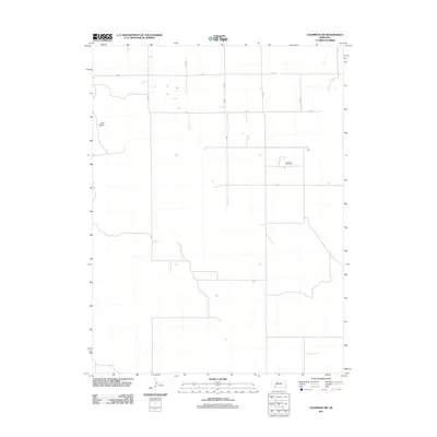 2011 Champion SW2011 Print · USGSChase County's high plains are captured here in the early twenty-first century, showing the enduring agricultural grid of western Nebraska. Genealogists and local historians can locate Hiawatha Cemetery and geographic landmarks like Old Baldy.
 - 2011 Map of Dittons Creek, 2011 Print
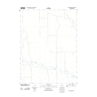 2011 Dittons Creek2011 Print · USGSChase County’s high plains and seasonal drainages are documented here during the early 2000s. Researchers can trace the intersection of section-line roads and natural watercourses like Dittons Creek, Stinking Water Creek, and Spring Creek across the rural grid.
 - 2011 Map of Reservoir Lake, 2011 Print
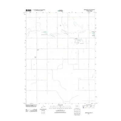 2011 Reservoir Lake2011 Print · USGSChase County, Nebraska, is documented here in the early 2010s, showing a landscape shaped by high-plains irrigation and rural settlement. Genealogists and local historians can trace legacy sites like Lake View Cemetery or the infrastructure of the Champion Canal and Kilpatrick Diversion Dam.
Showing maps 1-25 of 88
Top cities of Chase County
Frequently asked questions
- What are the different types of historical maps available for Chase County?
- What is the oldest map of Chase County?
- Where can I purchase historical maps of Chase County for my home or office?
- Where can I download high-res historical maps of Chase County?
- Are there historical topographic maps available for Chase County?
- Is there historical aerial imagery available for Chase County?
- Where are historical maps of Chase County sourced from?