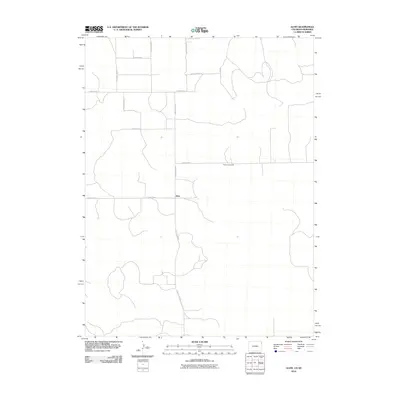
2010 Map of Alvin
USGS Topo · Published 2010About this map
The high plains of the Colorado-Nebraska borderlands define this 2010 survey, centered on the small community of Alvin. The landscape is dominated by a precise grid of rural thoroughfares, including County Road RR and County Rd 51, which facilitate the region's agricultural movement. Historical burial grounds like Hughes Cemetery are found along these paths, providing essential geographic markers for genealogists and local historians tracking family roots in Yuma County. The network of section-line roads, such as County Road PP and County Rd 54, reflects the enduring Homestead-era land patterns that still dictate the geography of the American West in the early 21st century.
Find a feature on this map
12 named features on this map. Tap any name to fly to it.
Don’t see what you’re looking for? This feature index may not catch every label — zoom into the map to look around manually.
Map Details
Editions of this 2010 Alvin Map
This is the sole edition of this map. No revisions or reprints were ever made.
Other maps of this area

1954 · Sterling
USGS Topo · 1:250,000

1954 · McCook
USGS Topo · 1:250,000

1957 · McCook
USGS Topo · 1:250,000

1958 · McCook
USGS Topo · 1:250,000

1958 · Sterling
USGS Topo · 1:250,000

1971 · Alvin NW
USGS Topo · 1:24,000

1971 · Alvin SW
USGS Topo · 1:24,000

1971 · Alvin
USGS Topo · 1:24,000

1971 · Wray NE
USGS Topo · 1:24,000

1971 · Alvin NE
USGS Topo · 1:24,000