Old Maps of Gosper County, Nebraska for Metal Detecting
Plan your next treasure hunt with 83 historic maps of Gosper County. Find old homesites, ghost towns, trails, and gathering spots that may be lost to time — perfect for identifying promising metal detecting locations.
- Locate forgotten sites: Uncover places like long-lost settlements, abandoned rail lines, or gathering spots.
- Plan better hunts: Use map overlays combined with LiDAR or satellite views to narrow in on historically rich areas.
- Made for detectorists: Thousands of hobbyists use these maps to discover relics, coins, and hidden history.
Use these historic maps to boost your research and find new opportunities beneath the surface of Gosper County.
Gosper County, NE maps
(83)- 1896 Map of Lexington
 1896 Lexington1896 Print · USGSDawson and Gosper Counties in the mid-1890s are defined by the convergence of the Platte River and competing railroad lines. Genealogists can trace family settlements along the Union Pacific R. R. and the Burlington and Missouri River R. R., locating early sites like Elwood and Coyote.
 - 1896 Map of Arapahoe
 1896 Arapahoe1896 Print · USGSThe Republican River valley thrived in the 1890s as a vital railroad corridor through south-central Nebraska and northern Kansas. Genealogists and local historians can trace the early rail stops and rural precincts like Arapahoe, Oxford, and the remote Rock Falls district.3 unique versions available
 - 1898 Map of Arapahoe, 1920 Print
 1898 Arapahoe1920 Print · USGSSouthwestern Nebraska was rapidly developing at the turn of the century as railroads mirrored the river valleys. Genealogists can trace family roots in towns like Arapahoe, Beaver City, and Oxford or locate landmarks like Rock Falls.2 unique versions available
 - 1899 Map of Lexington
 1899 Lexington1899 Print · USGSDawson and Gosper counties are captured during a period of rapid prairie development following the arrival of the transcontinental rails. Genealogists can trace the early grids of rail towns like Lexington and Bertrand or the spans of the Lexington Bridge.7 unique versions available
 - 1954 Map of McCook, 1966 Print
 1954 McCook1966 Print · USGSSouthwest Nebraska in the mid-fifties reveals a landscape shaped by major water projects and the Chicago Burlington and Quincy RR. Trace ancestral roots and defunct rail stops in McCook, Wauneta, and along the shores of Swanson Lake.2 unique versions available
 - 1955 Map of Grand Island, 1967 Print
 1955 Grand Island1967 Print · USGSCentral Nebraska is seen here during a period of industrial and agricultural growth, centered on the vital Platte River corridor. Researchers can trace the mid-century footprints of the U S Naval Ammunition Depot and the Cornhusker Ordnance Plant.3 unique versions available
 - 1957 Map of McCook
 1957 McCook1957 Print · USGSSouthwestern Nebraska in the mid-fifties is captured here during a period of significant water development and rail-based commerce. Researchers can trace the path of the Chicago Burlington and Quincy through Indianola and Bartley, or locate rural settlements like Chase Village and Ough near the Sand Hills.
 - 1957 Map of Grand Island
 1957 Grand Island1957 Print · USGSCentral Nebraska and Northern Kansas are shown here during a period of massive hydraulic and military expansion in the mid-fifties. Researchers can trace the development of the Harlan County Reservoir and the massive wartime legacy of the Cornhusker Ordnance Plant.
 - 1958 Map of McCook
 1958 McCook1958 Print · USGSSouthwest Nebraska during the late fifties reveals a landscape of massive new reservoirs and established rail hubs like McCook. Genealogists can trace family footprints through rural centers like St Johns Church and the many grain elevators along the Union Pacific RR.2 unique versions available
 - 1958 Map of Grand Island
 1958 Grand Island1958 Print · USGSSouth-central Nebraska thrived as a rail and industrial hub during the late fifties, shaped by the braided Platte River. Genealogists and historians can trace rail lines like the Union Pacific RR through towns such as Kearney or locate the sprawling Cornhusker Ordnance Plant.
 - 1958 Map of Edison, 1959 Print
 1958 Edison1959 Print · USGSThe village of Edison is documented here in the late fifties as a vital rail and river hub in Furnas County. Genealogists and researchers can trace the local landscape through the Edison Cem, the CHICAGO BURLINGTON AND QUINCY rail line, and the complex CAMBRIDGE CANAL irrigation system.2 unique versions available
 - 1958 Map of Arapahoe, 1959 Print
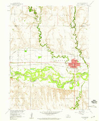 1958 Arapahoe1959 Print · USGSThe Republican River valley in the late fifties shows a landscape of steady agricultural growth and rail-dependent commerce. Trace local family history at Arapahoe Cemetery, locate St Matthews Ch, and follow the Cambridge Canal irrigation works.2 unique versions available
 - 1958 Map of Oxford, 1960 Print
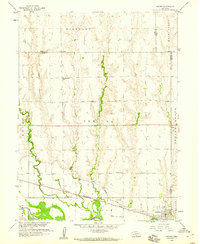 1958 Oxford1960 Print · USGSOxford and the Republican River valley are captured in the late fifties, showing a landscape defined by irrigation and rail. Genealogists can locate family-named sites such as Kellner Cem and several country schools including Hardscrabble Sch and Buffalo Sch.
 - 1958 Map of Holbrook, 1960 Print
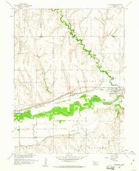 1958 Holbrook1960 Print · USGSThe Republican River valley in the late fifties shows a landscape reshaped by irrigation and rail. You can trace family plots at Miller Cem, locate the Lutheran Ch, or follow the Chicago Burlington and Quincy rail line through Holbrook.2 unique versions available
 - 1962 Map of Bertrand NW, 1964 Print
 1962 Bertrand NW1964 Print · USGSThe Platte River valley in the early sixties reveals a landscape in transition as the interstate highway began to carve through Nebraska's agricultural core. Genealogists can locate family-named landmarks like Robb Cem or trace early education at School No 3 and Spring Creek Sch.2 unique versions available
 - 1970 Map of Cambridge NE, 1973 Print
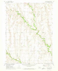 1970 Cambridge NE1973 Print · USGSThe borderlands of Frontier and Gosper counties are captured here in the early seventies, dominated by the drainage of Muddy Creek. Local historians can trace the rural topography of West Muddy and find landmarks like Stowe Cem and Deer Creek.
 - 1971 Map of Arapahoe NE, 1973 Print
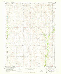 1971 Arapahoe NE1973 Print · USGSGosper County was a landscape of prairie drainages and quiet township roads during this early 1970s survey. Genealogists can trace family footprints across Turkey Creek and locate rural burial sites such as Homerville Cem and McGuire Cem.
 - 1971 Map of Johnson Lake, 1973 Print
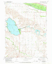 1971 Johnson Lake1973 Print · USGSThe Platte River valley in the early 1970s shows a landscape where pioneer history meets modern engineering. Researchers can trace the Emigrant Trail, locate School No 4, and explore the development around Johnson Lake.2 unique versions available
 - 1971 Map of Elwood SW, 1973 Print
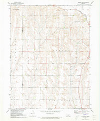 1971 Elwood SW1973 Print · USGSGosper County was characterized by its rail-linked northern border and extensive drainage networks in the early 1970s. Genealogists can locate family land near the Burlington Northern line or trace water sources along East Branch Muddy Creek and Elk Creek.
 - 1971 Map of Oxford NW, 1973 Print
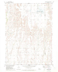 1971 Oxford NW1973 Print · USGSGosper County was a landscape of remote farmsteads and prairie drainages during the early seventies. Local historians can trace family roots near Zion Cem or explore the conservation boundaries of the Gosper National Wildlife Management Area.
 - 1971 Map of Arapahoe NW, 1973 Print
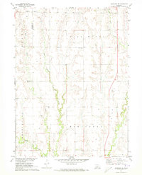 1971 Arapahoe NW1973 Print · USGSThe rural border of Frontier and Gosper counties comes alive in the early 1970s through this detailed look at its creek-fed ranchlands. Genealogists can trace family roots at Salem West Cem, East Muddy Cem, or the remote Pleasant Grove Cem overlooking the valley.
 - 1971 Map of Bertrand, 1973 Print
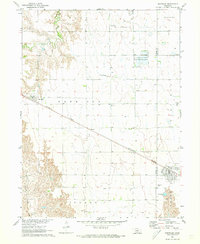 1971 Bertrand1973 Print · USGSThe border of Phelps and Gosper Counties comes into focus in the early seventies, showing a landscape of Nebraska prairie and vital irrigation. Researchers can trace the Burlington Northern rail line connecting Smithfield and Bertrand, or find family names near Highland Cem.
 - 1971 Map of Elwood, 1973 Print
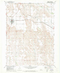 1971 Elwood1973 Print · USGSElwood and the high plains of Gosper County are captured here in the early 1970s as a landscape of railroads and deep creek coulees. Genealogists can locate rural landmarks like Quakerville Cem, while industrial historians can trace the Burlington Northern line and local Flume systems.2 unique versions available
 - 1971 Map of Elwood NW, 1973 Print
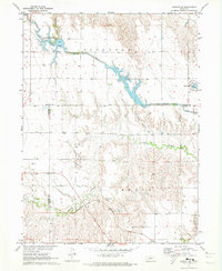 1971 Elwood NW1973 Print · USGSGosper County and Dawson County landscapes are defined by water management and rail travel in the early seventies. Genealogists and historians can trace the Burlington Northern line through Brace or explore the shores of Gallagher Lake and Plum Creek.2 unique versions available
 - 1979 Map of McCook
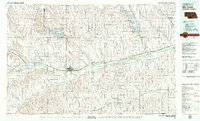 1979 McCook1979 Print · USGSThe Republican River valley of southwest Nebraska is seen here in the late seventies, a region of rail-connected river towns and extensive irrigation. Genealogists and local historians can trace family ties through McCook, the Burlington Northern line, and water landmarks like Medicine Creek.
Showing maps 1-25 of 83
Top cities of Gosper County
Frequently asked questions
- What are the different types of historical maps available for Gosper County?
- What is the oldest map of Gosper County?
- Where can I purchase historical maps of Gosper County for my home or office?
- Where can I download high-res historical maps of Gosper County?
- Are there historical topographic maps available for Gosper County?
- Is there historical aerial imagery available for Gosper County?
- Where are historical maps of Gosper County sourced from?