2000s (21st Century) Maps of Knox County, Nebraska
Explore 132 historic maps of Knox County from the 2000s (21st Century). These maps offer a rare glimpse into what life looked like during the 2000s — showing old roads, neighborhoods, homes, and landmarks that have changed or disappeared over time.
Whether you're researching your family's past, planning a metal detecting trip, or studying how Knox County's landscape evolved across the 2000s, these high-resolution maps are a powerful tool for exploring the history of this region.
- Focus on a specific era: All maps on this page are from the 2000s, giving you a focused view of this time period.
- See what’s changed: Compare century-old streets, trails, and buildings to today's modern landscape using overlays and satellite layers.
- Research with precision: Use these maps for genealogy, historical research, land use analysis, or educational projects.
- View, download, or print: Maps are fully viewable online in high resolution, and can be downloaded or printed for your own records.
Start exploring Knox County's history through authentic maps from the 2000s. This is your window into the past.
Knox County, NE maps
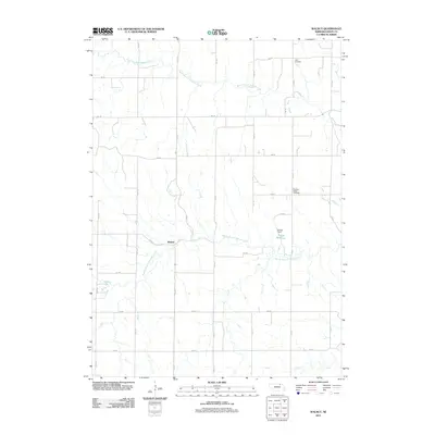
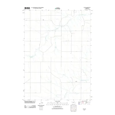
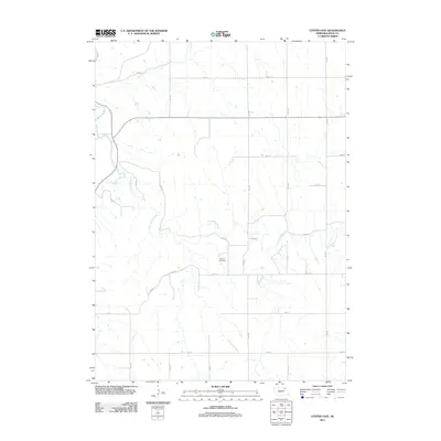
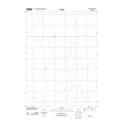
(132)- 2011 Map of Verdigre NE, 2011 Print
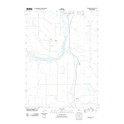 2011 Verdigre NE2011 Print · USGSCovers Knox County, including Niobrara, Ponca, and other nearby areas
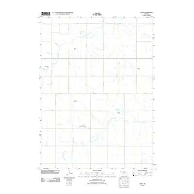
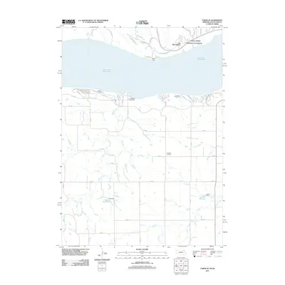
 - 2011 Map of Niobrara, 2011 Print
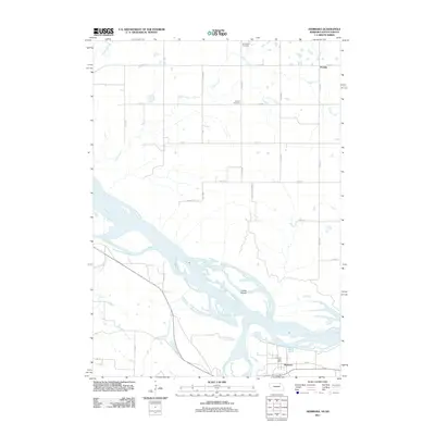 2011 Niobrara2011 Print · USGSCovers Knox County, including Niobrara, Running Water Township, and other nearby areas
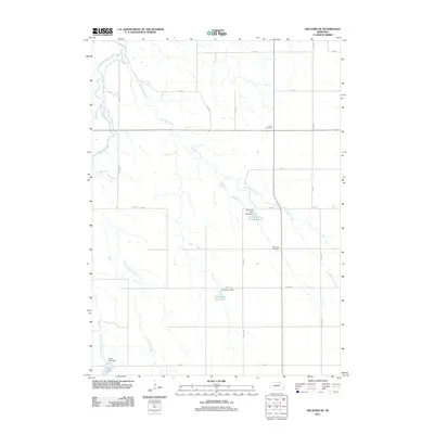
 - 2011 Map of Monowi, 2011 Print
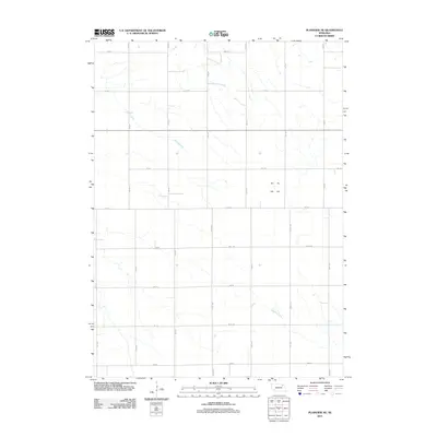
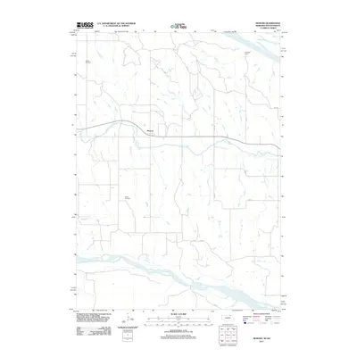 2011 Monowi2011 Print · USGSCovers Knox County, including Monowi, Ree Township, and other nearby areas
 - 2011 Map of Verdel, 2011 Print
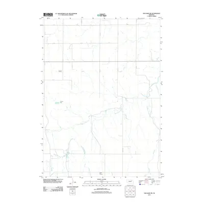
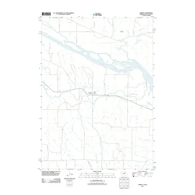 2011 Verdel2011 Print · USGSCovers Knox County, including Verdel, Running Water Township, and other nearby areas
 - 2011 Map of Walnut, 2011 Print
 2011 Walnut2011 Print · USGSCovers Knox County, including Walnut, United States, and other nearby areas
 - 2011 Map of Orchard NE, 2011 Print
 2011 Orchard NE2011 Print · USGSCovers Knox County, including Antelope County, United States, and other nearby areas
 - 2011 Map of Orchard NW, 2011 Print
 2011 Orchard NW2011 Print · USGSCovers Knox County, including Antelope County, United States, and other nearby areas
 - 2011 Map of Dorsey, 2011 Print
 2011 Dorsey2011 Print · USGSCovers Knox County, including Dorsey, Knoxville, and other nearby areas
 - 2011 Map of Star, 2011 Print
 2011 Star2011 Print · USGSCovers Knox County, including Star, Holt County, and other nearby areas
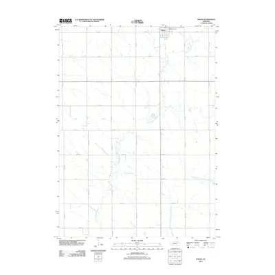
 - 2011 Map of Venus, 2011 Print
 2011 Venus2011 Print · USGSCovers Knox County, including Venus, Holt County, and other nearby areas
 - 2011 Map of Pishelville, 2011 Print
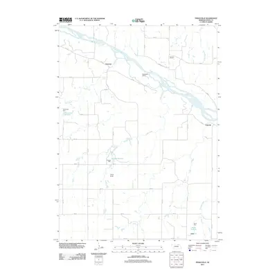 2011 Pishelville2011 Print · USGSCovers Knox County, including Dukeville, Jelen, and other nearby areas
 - 2011 Map of Tabor SE, 2011 Print
 2011 Tabor SE2011 Print · USGSCovers Knox County, including Northshore Development, Kohles Acres Area, and other nearby areas
 - 2011 Map of Plainview NE, 2011 Print
 2011 Plainview NE2011 Print · USGSCovers Knox County, including Pierce County, Antelope County, and other nearby areas
 - 2011 Map of Bloomfield, 2011 Print
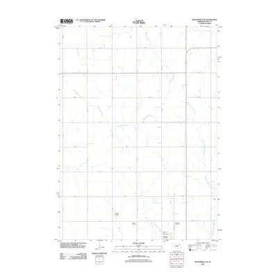
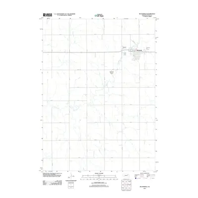 2011 Bloomfield2011 Print · USGSCovers Knox County, including Bloomfield, Bloomfield Trailer Court, and other nearby areas
 - 2011 Map of Bloomfield SE, 2011 Print
 2011 Bloomfield SE2011 Print · USGSCovers Knox County, including Wausa, United States, and other nearby areas
 - 2011 Map of Center West, 2011 Print
 2011 Center West2011 Print · USGSCovers Knox County, including Center, Winnetoon, and other nearby areas
 - 2011 Map of Center East, 2011 Print
 2011 Center East2011 Print · USGSCovers Knox County, including Center, United States, and other nearby areas
 - 2011 Map of Sparta, 2011 Print
 2011 Sparta2011 Print · USGSCovers Knox County, including Sparta, United States, and other nearby areas
 - 2011 Map of Crofton, 2011 Print
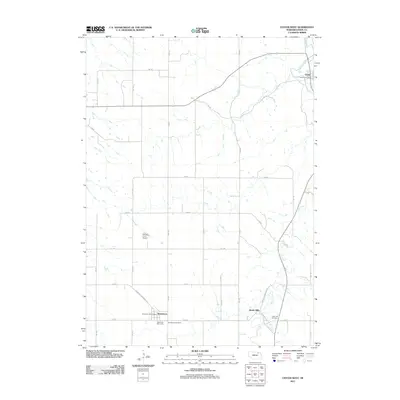
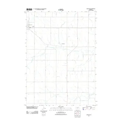 2011 Crofton2011 Print · USGSCovers Knox County, including Crofton, Constance, and other nearby areas
 - 2011 Map of Wausa, 2011 Print
 2011 Wausa2011 Print · USGSCovers Knox County, including Wausa, Pierce County, and other nearby areas
 - 2011 Map of Midland, 2011 Print
 2011 Midland2011 Print · USGSCovers Knox County, including Midland, Pierce County, and other nearby areas
 - 2011 Map of Creighton, 2011 Print
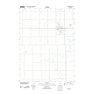 2011 Creighton2011 Print · USGSCovers Knox County, including Creighton, Antelope County, and other nearby areas
 - 2011 Map of Hartington SW, 2011 Print
 2011 Hartington SW2011 Print · USGSCovers Knox County, including Pleasant Valley, Precinct 10, and other nearby areas
 - 2011 Map of Santee, 2011 Print
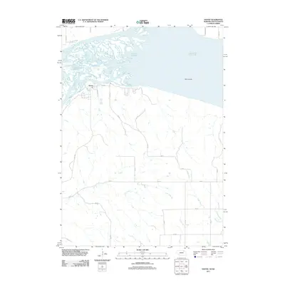 2011 Santee2011 Print · USGSCovers Knox County, including Santee, Little Tabor Township, and other nearby areas
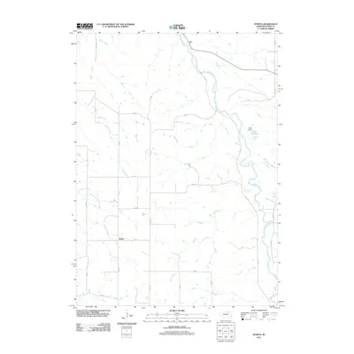
 - 2011 Map of Magnet, 2011 Print
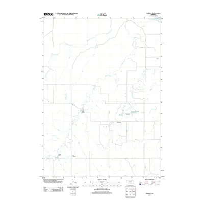
 2011 Magnet2011 Print · USGSCovers Knox County, including Magnet, McLean, and other nearby areas
Showing maps 1-25 of 132
Top cities of Knox County
- Creighton historical maps
- Bloomfield historical maps
- Crofton historical maps
- Wausa historical maps
- Verdigre historical maps
- Niobrara historical maps
See more
Frequently asked questions
- What are the different types of historical maps available for Knox County?
- What is the oldest map of Knox County?
- Where can I purchase historical maps of Knox County for my home or office?
- Where can I download high-res historical maps of Knox County?
- Are there historical topographic maps available for Knox County?
- Is there historical aerial imagery available for Knox County?
- Where are historical maps of Knox County sourced from?