1970s Maps of Lincoln County, Nebraska
Explore 57 historic maps of Lincoln County from the 1970s. These maps offer a rare glimpse into what life looked like during the 1970s — showing old roads, neighborhoods, homes, and landmarks that have changed or disappeared over time.
Whether you're researching your family's past, planning a metal detecting trip, or studying how Lincoln County's landscape evolved across the 1970s, these high-resolution maps are a powerful tool for exploring the history of this region.
- Focus on a specific era: All maps on this page are from the 1970s, giving you a focused view of this time period.
- See what’s changed: Compare century-old streets, trails, and buildings to today's modern landscape using overlays and satellite layers.
- Research with precision: Use these maps for genealogy, historical research, land use analysis, or educational projects.
- View, download, or print: Maps are fully viewable online in high resolution, and can be downloaded or printed for your own records.
Start exploring Lincoln County's history through authentic maps from the 1970s. This is your window into the past.
Lincoln County, NE maps
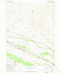
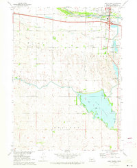
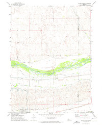
(57)- 1970 Map of Dickens NE, 1973 Print
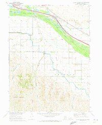
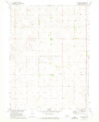 1970 Dickens NE1973 Print · USGSLincoln County, Nebraska, is documented in the early seventies, showing a quiet landscape of agricultural sections and high plains terrain. Researchers can locate community landmarks like the Lone Star Sch and the Community Building amid the Sellers hills.
 - 1970 Map of Gothenburg, 1973 Print
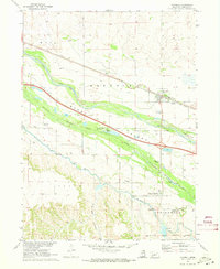
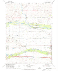
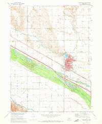 1970 Gothenburg1973 Print · USGSGothenburg is documented here during the early 1970s as a vital Platte Valley hub of irrigation and rail transport. Researchers can trace local genealogy and land use through sites like Gothenburg Cemetery, Peckham Cem, and the Union Pacific rail corridor.2 unique versions available
 - 1970 Map of North Platte East, 1973 Print
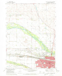
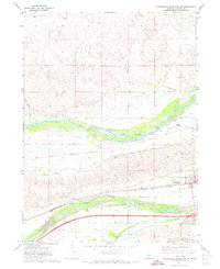
 1970 North Platte East1973 Print · USGSNorth Platte expanded into the Nebraska plains during the early seventies, where the river and rail lines converged. Researchers can trace local infrastructure from Lee Bird Field to the Union Pacific tracks, or find community sites like Hall Sch.2 unique versions available
 - 1970 Map of North Platte West, 1973 Print
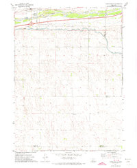
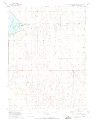
 1970 North Platte West1973 Print · USGSNorth Platte flourished as a vital rail and river hub in the early 1970s. Researchers can trace the town's civic growth through Buffalo Bill Ranch State Park, St Patricks Cath Ch, and the sprawling Union Pacific rail yards.2 unique versions available
 - 1970 Map of Brady SW, 1973 Print
 1970 Brady SW1973 Print · USGSThe braided Platte River valley in central Nebraska is captured here around 1970, showing a landscape defined by historic military boundaries and river islands. Researchers can locate the Old Ft Mc Pherson Military Resv Bdy and trace the local legacy of the Pioneer Sch and Brady Cem.
 - 1970 Map of Jeffrey Reservoir SE, 1973 Print
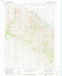
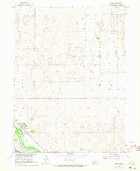
 1970 Jeffrey Reservoir SE1973 Print · USGSThe ranching country of Lincoln County is documented here during the early seventies, when groundwater management shaped the plains. Researchers can trace the winding paths of Plum Creek, East Deer Creek, and the deep incisions of Gilman Canyon.
 - 1970 Map of North Platte SW, 1973 Print
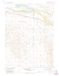
 1970 North Platte SW1973 Print · USGSLincoln County farmland and water systems are captured here in the early seventies during a period of Missouri River Basin development. Researchers can locate Trinity Ch, trace the Outlet Canal, and identify the family-named areas of Nowell and Miller.
 - 1970 Map of Gothenburg SW, 1973 Print
 1970 Gothenburg SW1973 Print · USGSDawson and Lincoln County land use is captured here in the early seventies, showing a landscape reshaped by irrigation and canyon-land farming. Researchers can locate the Potters Sch and trace the paths of the Thirtymile Canal and Tri County Supply Canal.
 - 1970 Map of Jeffrey Reservoir, 1973 Print
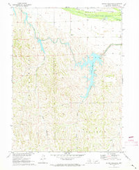 1970 Jeffrey Reservoir1973 Print · USGSThe Platte River valley and the hydraulic infrastructure of Lincoln County are captured here in the early 1970s. Researchers can trace the path of the Tri-County Supply Canal as it feeds Jeffrey Reservoir among the steep draws of Cottonwood Canyon and Snell Canyon.
 - 1970 Map of Farnam, 1973 Print
 1970 Farnam1973 Print · USGSFarnam sat at the intersection of Lincoln, Dawson, and Frontier counties in the 1970s, where the prairie gives way to deep creek breaks. Researchers can trace the Burlington Northern rail corridor and find local landmarks like the Farnam Cem and Plum Creek.
 - 1970 Map of Dickens NW, 1973 Print
 1970 Dickens NW1973 Print · USGSLincoln County’s remote ranching country comes into focus in the early 1970s, showing the intricate dune and pond terrain of the Nebraska Sandhills. Researchers can trace land ownership through field boundaries and locate small family sites like Graves near the Sellers line.
 - 1970 Map of Hershey East, 1973 Print
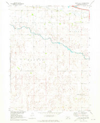
 1970 Hershey East1973 Print · USGSThe Lincoln County plains in the early seventies reveal a landscape shaped by the North Platte River and the vital Union Pacific rail line. Researchers can trace rural genealogy and land use through landmarks like McNeel Cem, Rosedale Sch, and the North Platte Canal.
 - 1970 Map of Jeffrey Reservoir NE, 1973 Print
 1970 Jeffrey Reservoir NE1973 Print · USGSCentral Nebraska's river valley and irrigation networks are on display here in the early seventies. Trace the Union Pacific rail line through Vroman or locate early family sites near the Gaslin Cem and Jeffrey Canyon.
 - 1970 Map of Maxwell, 1973 Print
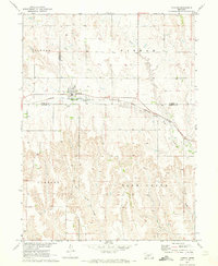
 1970 Maxwell1973 Print · USGSThe Platte River valley in the early seventies shows a landscape where frontier military history meets modern rail and water engineering. Researchers can pinpoint the Site of Fort McPherson, locate family plots at Plainview Cem, or trace the path of the Union Pacific through Maxwell.
 - 1970 Map of Brady, 1973 Print
 1970 Brady1973 Print · USGSThe Platte River valley in the early 1970s remains defined by the Union Pacific rail line and the established community of Brady. Researchers can trace old family landmarks like Antelope Cem, Brady Cem, and the Wild Horse Valley Sch.
 - 1970 Map of Maxwell SW, 1973 Print
 1970 Maxwell SW1973 Print · USGSLincoln County ranching and river transport converge at the Platte confluence in the early seventies. Researchers can trace local landmarks like the Sioux Lookout Historical Mon, Miriam Cem, and the path of the Union Pacific railroad.2 unique versions available
 - 1970 Map of Lake Maloney, 1973 Print
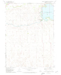
 1970 Lake Maloney1973 Print · USGSLincoln County south of North Platte is captured in the early seventies during a period of significant water and power development. Researchers can trace rural landmarks like Miller Sch, St Patricks Cem, and the infrastructure of Lake Maloney.2 unique versions available
 - 1970 Map of Maxwell NE, 1973 Print
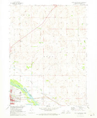
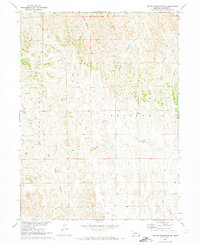
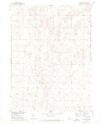
 1970 Maxwell NE1973 Print · USGSLincoln County's rolling prairie and township boundaries are captured here in the early seventies, just after the field checks of the Missouri River Basin project. Local researchers can trace the limits of Hall and Cox or locate the Radio Tower.
 - 1971 Map of Sutherland Reservoir West, 1974 Print
 1971 Sutherland Reservoir West1974 Print · USGSWestern Nebraska's hydrological engineering is on display in the early seventies as the waters of Sutherland Reservoir meet the plains. Researchers can trace infrastructure from the Sutherland Canal to the Sutherland Reservoir State Park.
 - 1971 Map of Paxton South, 1974 Print
 1971 Paxton South1974 Print · USGSThe South Platte River corridor near Paxton is shown in the early seventies as a hub of Nebraska rail and water infrastructure. Researchers can trace the path of the Union Pacific and find local landmarks like School No 16 and the Paxton Cem.
 - 1971 Map of Paxton North, 1974 Print
 1971 Paxton North1974 Print · USGSKeith County and the Nebraska Sandhills are captured here in the early 1970s as the river and railroad defined local life. Trace the industrial landscape from the Diversion Dam to the small communities of Paxton and Sarben along the Union Pacific tracks.
 - 1971 Map of Hershey West, 1974 Print
 1971 Hershey West1974 Print · USGSThe high plains of western Nebraska meet the bifurcated Platte River system in the early seventies. Genealogists and historians can trace the rail-and-water economy through the Union Pacific line and irrigation landmarks like the Riverside Cem and O'Fallons.
 - 1971 Map of Sutherland Reservoir NW, 1974 Print
 1971 Sutherland Reservoir NW1974 Print · USGSLincoln County in the early 1970s is defined by the vital water systems between the North and South Platte rivers. Family historians and researchers can trace the tracks of the Union Pacific, locate the Sutherland Cemetery, or examine irrigation works like the Bull Ditch.
 - 1971 Map of Sutherland Reservoir East, 1974 Print
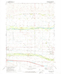
 1971 Sutherland Reservoir East1974 Print · USGSThe Nebraska plains south of the Platte River are captured here in the early 1970s, focused on the critical irrigation and recreational hub of Sutherland Reservoir. Local historians and genealogists can trace water management routes via the Outlet Canal or locate the historic Lemont Cem.
 - 1972 Map of North Platte 2 SW, 1975 Print
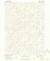
 1972 North Platte 2 SW1975 Print · USGSLincoln County cattle country is captured in the early seventies, showcasing the vast sectioned grazing lands of the Nebraska Sandhills. Researchers can trace the layout of rural ranching life and find the small settlement of McNeel among the undulating dunes.2 unique versions available
Showing maps 1-25 of 57
Top cities of Lincoln County
- North Platte historical maps
- Sutherland historical maps
- Hershey historical maps
- Brady historical maps
- Wallace historical maps
- Maxwell historical maps
See more
Frequently asked questions
- What are the different types of historical maps available for Lincoln County?
- What is the oldest map of Lincoln County?
- Where can I purchase historical maps of Lincoln County for my home or office?
- Where can I download high-res historical maps of Lincoln County?
- Are there historical topographic maps available for Lincoln County?
- Is there historical aerial imagery available for Lincoln County?
- Where are historical maps of Lincoln County sourced from?