2010s Maps of Lincoln County, Nebraska
Explore 201 historic maps of Lincoln County from the 2010s. These maps offer a rare glimpse into what life looked like during the 2010s — showing old roads, neighborhoods, homes, and landmarks that have changed or disappeared over time.
Whether you're researching your family's past, planning a metal detecting trip, or studying how Lincoln County's landscape evolved across the 2010s, these high-resolution maps are a powerful tool for exploring the history of this region.
- Focus on a specific era: All maps on this page are from the 2010s, giving you a focused view of this time period.
- See what’s changed: Compare century-old streets, trails, and buildings to today's modern landscape using overlays and satellite layers.
- Research with precision: Use these maps for genealogy, historical research, land use analysis, or educational projects.
- View, download, or print: Maps are fully viewable online in high resolution, and can be downloaded or printed for your own records.
Start exploring Lincoln County's history through authentic maps from the 2010s. This is your window into the past.
Lincoln County, NE maps
(201)- 2011 Map of Sutherland Reservoir West, 2011 Print
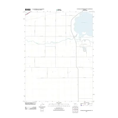 2011 Sutherland Reservoir West2011 Print · USGSThe high plains of Lincoln County appear at the start of the 2010s, defined by the critical irrigation and recreation hub of the Sutherland Reservoir. Researchers can trace the path of the Sutherland Canal or locate rural landmarks along Prairie Trace Rd and W Correction Line Rd.
 - 2011 Map of Green Ranch, 2011 Print
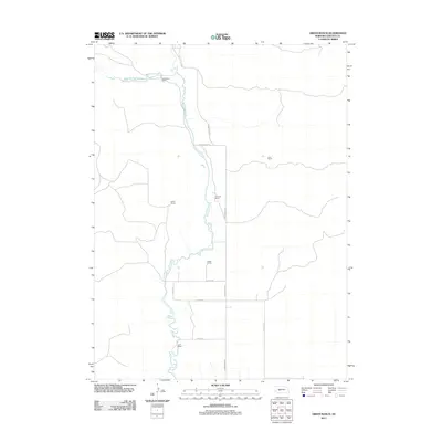 2011 Green Ranch2011 Print · USGSLincoln County ranching country is documented here in the early twenty-first century, showing the enduring reliance on Birdwood Creek. Researchers can locate specific family-named holdings such as Richardson Ranch, Green Ranch, and the Fleecs Ranch.
 - 2011 Map of Sutherland Reservoir East, 2011 Print
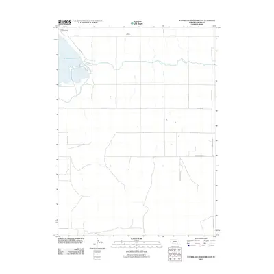 2011 Sutherland Reservoir East2011 Print · USGSLincoln County, Nebraska, is seen here in the early twenty-first century as a landscape of structured irrigation and recreation. Genealogists and local researchers can locate Lemont Cemetery or trace the path of the Outlet Canal past Sutherland State Park.
 - 2011 Map of Big Bald Hill NE, 2011 Print
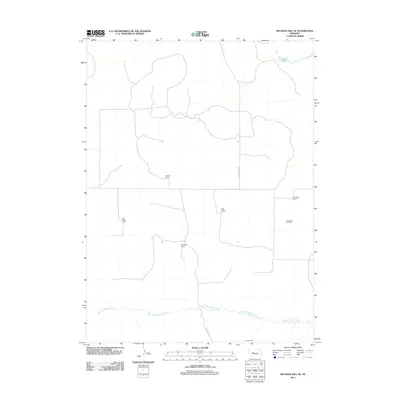 2011 Big Bald Hill NE2011 Print · USGSLincoln County ranching country is documented here in the early twenty-first century, showing a landscape defined by isolated homesteads and prairie creeks. Researchers can trace family-named lands like Moriarty Ranch and Arensdorf Ranch or locate the Valley View Cemetery.
 - 2011 Map of Pierson Ranch, 2011 Print
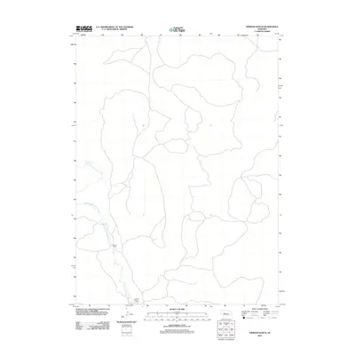 2011 Pierson Ranch2011 Print · USGSLincoln County cattle country is mapped here during the early twenty-first century, showing the remote ranching landscape of the Sandhills. Researchers can locate family-named operations such as Pierson Ranch and Brown Brothers Ranch along the North Fork Birdwood Creek.
 - 2011 Map of Big Bald Hill SE, 2011 Print
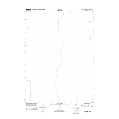 2011 Big Bald Hill SE2011 Print · USGSIn the early twenty-first century, this section of Lincoln County, Nebraska, remained a sparsely populated landscape defined by the geometry of the section grid. Local researchers can trace the path of Road E V N as it serves the surrounding ranching country.
 - 2011 Map of Paxton South, 2011 Print
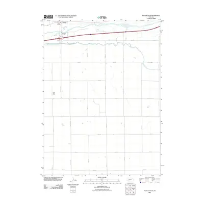 2011 Paxton South2011 Print · USGSThe Nebraska plains south of the Platte are captured here in the early twenty-first century, showing the intersection of vital water infrastructure and rural life. Genealogists and local historians can locate the Paxton Cemetery, Oles Lodge RV Park, and the vital Sutherland Canal.
 - 2011 Map of Applegate Ranch, 2011 Print
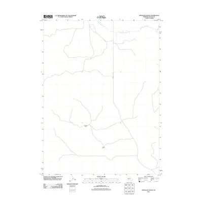 2011 Applegate Ranch2011 Print · USGSLincoln County ranching country is captured in the early twenty-first century, showing the vast pastoral reaches of the Sandhills. Trace the course of West Birdwood Creek or locate local landmarks like Applegate Ranch and Mueller Ranch.
 - 2011 Map of Tin Camp Ranch, 2011 Print
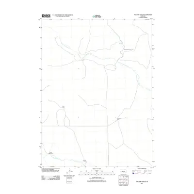 2011 Tin Camp Ranch2011 Print · USGSLincoln County ranching country is captured here during the early twenty-first century, showing a landscape of scattered homesteads and prairie waterways. Researchers can trace land holdings like Tin Camp Ranch, Richardson Ranch, and the Pawnee Springs Ranch Dam.
 - 2011 Map of Hershey West, 2011 Print
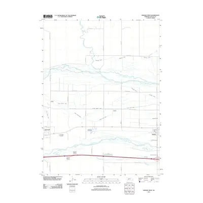 2011 Hershey West2011 Print · USGSLincoln County in the early twenty-first century reveals a landscape shaped by the branching of the Platte Rivers. Genealogists and local historians can trace the irrigation networks and settlements like Sutherland, Hershey, and the historic Riverside Cemetery.
 - 2011 Map of Sutherland Reservoir NW, 2011 Print
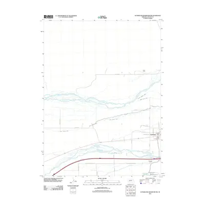 2011 Sutherland Reservoir NW2011 Print · USGSSutherland sits between the two forks of the Platte River during the early twenty-first century. Genealogists and local historians can trace family locations near Sutherland Cemetery, the Sutherland Post Office, and along the banks of the Keith Lincoln Canal.
 - 2011 Map of Paxton North, 2011 Print
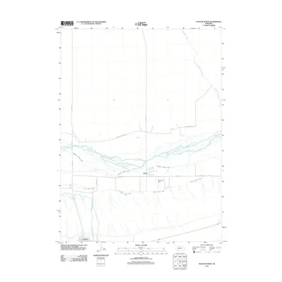 2011 Paxton North2011 Print · USGSKeith County in the early 2000s reveals a highly engineered agricultural landscape along the Platte valley. Researchers can trace the paths of the Sheridan Wilson Canal and Sutherland Canal near the settlements of Sarben and Paxton.
 - 2011 Map of Camp Hayes Lake NE, 2011 Print
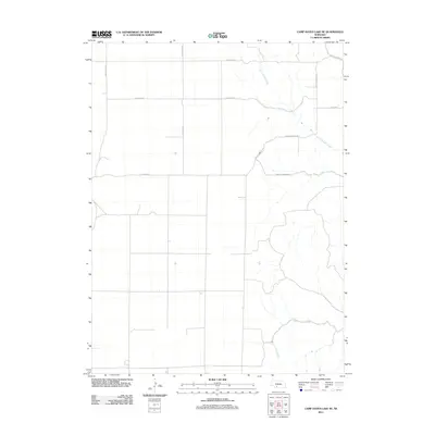 2011 Camp Hayes Lake NE2011 Print · USGSLincoln County at the start of the 2010s reveals a structured agricultural landscape organized by an extensive grid of section-line roads. Trace the paths of North Brushy Creek and South Brushy Creek alongside routes like S Wagon Trail Rd.
 - 2011 Map of Curtis, 2011 Print
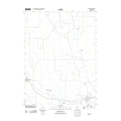 2011 Curtis2011 Print · USGSFrontier County at the start of the 2010s reveals a landscape defined by deep canyons and the winding path of Medicine Creek. Genealogists and local historians can locate the Curtis Cemetery and trace the rural routes connecting Maywood to Curtis.
 - 2011 Map of Jeffrey Reservoir NE, 2011 Print
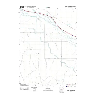 2011 Jeffrey Reservoir NE2011 Print · USGSLincoln County at the start of the 2010s shows a landscape transformed by water management and prairie agriculture. Researchers can trace family sites near Gaslin Cemetery or follow the paths of the Gothenburg Canal and Vroman crossroads.
 - 2011 Map of Gothenburg SW, 2011 Print
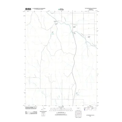 2011 Gothenburg SW2011 Print · USGSLincoln County water management is on full display in this 2011 survey of the Nebraska plains. Trace the intricate irrigation network of the Tri-County Supply Canal alongside local landmarks like Wiggins Reservoir and Hiles Canyon.
 - 2011 Map of Gothenburg, 2011 Print
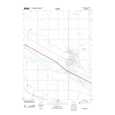 2011 Gothenburg2011 Print · USGSGothenburg and its surrounding farmlands are seen here in the early twenty-first century, centered on the intricate irrigation of the Platte River valley. Trace family history at Salem Cemetery or explore the canal networks of the Sixmile Canal and Gothenburg Canal.
 - 2011 Map of Wellfleet SE, 2011 Print
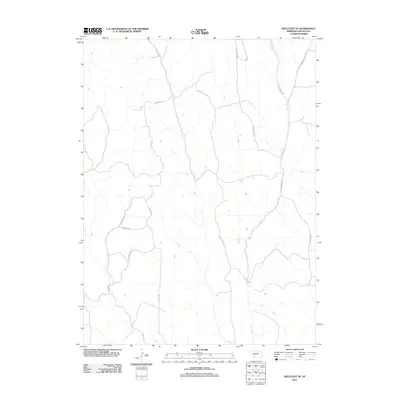 2011 Wellfleet SE2011 Print · USGSLincoln County’s rural landscapes are captured here in the early 2010s, showing a network of historic ranch roads and waterways. Researchers can trace land access via S Ridge Rd and S Cottonwood Rd or follow the path of Fox Creek.
 - 2011 Map of Farnam, 2011 Print
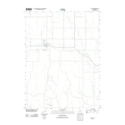 2011 Farnam2011 Print · USGSFarnam and the surrounding Dawson County plains are captured here in the early 2010s, showing a landscape defined by water management and rural transit. Genealogists and historians can locate the Farnam Cemetery, Farnam Post Office, and local landmarks like Gardner Reservoir.
 - 2011 Map of Wellfleet NE, 2011 Print
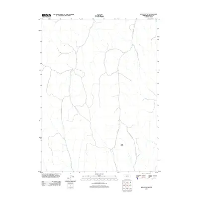 2011 Wellfleet NE2011 Print · USGSLincoln County at the start of the 2010s remains a region of open ranges and scattered ranch roads. Genealogists and land researchers can trace the modern rural infrastructure along S Box Elder Rd and follow the natural course of Fox Creek.
 - 2011 Map of Wellfleet NW, 2011 Print
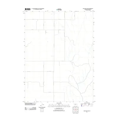 2011 Wellfleet NW2011 Print · USGSLincoln County's rural landscape is captured here in the early twenty-first century, showcasing the systematic section-line grid of the Nebraska plains. Local historians can trace the paths of District 31 School Rd and follow family-named routes like Branting Rd or Miriam Rd.
 - 2011 Map of Moorefield, 2011 Print
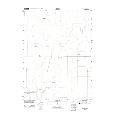 2011 Moorefield2011 Print · USGSMoorefield and the surrounding plains of Frontier County are documented here in the early twenty-first century. Genealogists and local historians can locate the Moorefield Cemetery, trace the local water works at Elson Detention Dam 1-N, and see the layout of the Curtis Municipal Airport.
 - 2011 Map of Somerset, 2011 Print
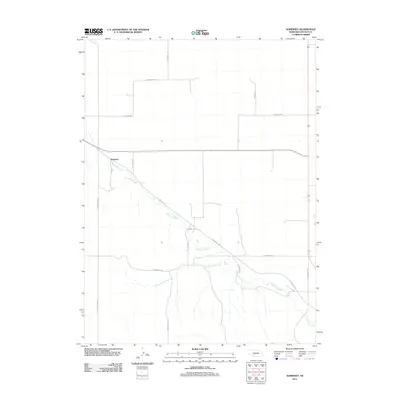 2011 Somerset2011 Print · USGSSomerset and the surrounding Lincoln County plains are documented here in the early twenty-first century. Genealogists and local historians can trace family land ties along S Ash Grove Rd and S Darnell Rd or follow the path of Medicine Creek.
 - 2011 Map of Suttlers Canyon East, 2011 Print
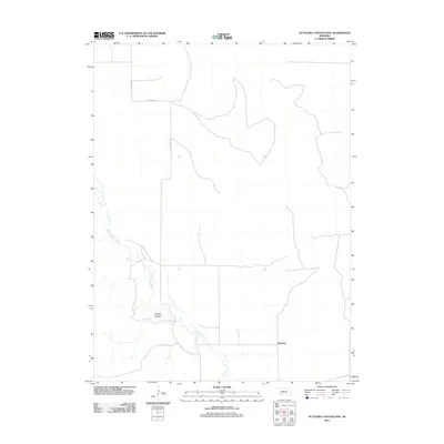 2011 Suttlers Canyon East2011 Print · USGSThe High Plains of Southwest Nebraska are captured here in the early twenty-first century, showing a landscape shaped by water and wind. Researchers can trace the drainage of Red Willow Creek through Suttlers Canyon and locate the rural hub of Marengo.
 - 2011 Map of Stockville NE, 2011 Print
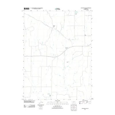 2011 Stockville NE2011 Print · USGSLincoln County, Nebraska, reveals its rural character and water management history in this twenty-first-century survey. Genealogists and researchers can locate the Saint Joseph Cemetery and trace the paths of Deer Creek and Wintermute Dam.
Showing maps 1-25 of 201
Top cities of Lincoln County
- North Platte historical maps
- Sutherland historical maps
- Hershey historical maps
- Brady historical maps
- Wallace historical maps
- Maxwell historical maps
See more
Frequently asked questions
- What are the different types of historical maps available for Lincoln County?
- What is the oldest map of Lincoln County?
- Where can I purchase historical maps of Lincoln County for my home or office?
- Where can I download high-res historical maps of Lincoln County?
- Are there historical topographic maps available for Lincoln County?
- Is there historical aerial imagery available for Lincoln County?
- Where are historical maps of Lincoln County sourced from?