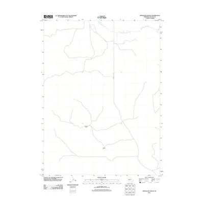
2011 Map of Applegate Ranch
USGS Topo · Published 2011About this map
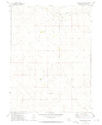
Applegate Ranch and Mueller Ranch anchor this high-plains landscape in Lincoln County, reflecting the deep-rooted ranching heritage of western Nebraska in the early 21st century. The terrain is defined by the winding course of West Birdwood Creek, which traverses the northern reaches of the quadrangle. This area remains largely defined by large-scale landholdings and isolated rural outposts, connected by a sparse network of roads such as N Prairie Trace Rd. The map illustrates the persistence of traditional cattle country in a modern era, showing the relationship between limited water resources and the expansive pastoral geography of the Sandhills region.
Find a feature on this map
4 named features on this map. Tap any name to fly to it.
Don’t see what you’re looking for? This feature index may not catch every label — zoom into the map to look around manually.
Map Details
Editions of this 2011 Applegate Ranch Map
This is the sole edition of this map. No revisions or reprints were ever made.
Other maps of this area

1898 · Paxton
USGS Topo · 1:125,000

1901 · Paxton
USGS Topo · 1:125,000

1954 · North Platte
USGS Topo · 1:250,000

1956 · North Platte
USGS Topo · 1:250,000

1957 · North Platte
USGS Topo · 1:250,000

1967 · North Platte
USGS Topo · 1:250,000
1971 · Paxton North
USGS Topo · 1:24,000
1971 · Hershey West
USGS Topo · 1:24,000
1971 · Sutherland Reservoir NW
USGS Topo · 1:24,000
1972 · Applegate Ranch
USGS Topo · 1:24,000