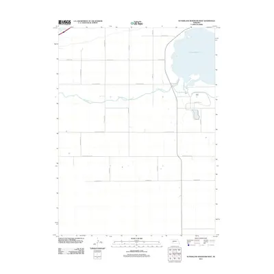
2011 Map of Sutherland Reservoir West
USGS Topo · Published 2011About this map
The Sutherland Reservoir dominates the northeastern landscape of this Lincoln County quadrangle, showing its extensive shoreline and the adjacent recreation areas of Sutherland State Park. This hydraulic network is fed by the Sutherland Canal, which cuts westward across the prairie toward the South Platte River in the northwest corner. The map reveals a strictly gridded rural landscape, where the agricultural sections are defined by long-distance thoroughfares like W Correction Line Rd and W Goedert-White Rd. Family-named routes such as S Seifer Rd and S Beveridge Rd provide access to the interior ranchlands. The presence of Prairie Trace Rd south of the reservoir suggests the historical movement across this high-plains terrain, where water management and ranching have long shaped the local economy and land use patterns.
Find a feature on this map
17 named features on this map. Tap any name to fly to it.
Don’t see what you’re looking for? This feature index may not catch every label — zoom into the map to look around manually.
Map Details
Editions of this 2011 Sutherland Reservoir West Map
This is the sole edition of this map. No revisions or reprints were ever made.
Other maps of this area

1898 · Paxton
USGS Topo · 1:125,000

1901 · Paxton
USGS Topo · 1:125,000

1954 · McCook
USGS Topo · 1:250,000

1954 · North Platte
USGS Topo · 1:250,000

1956 · North Platte
USGS Topo · 1:250,000

1957 · North Platte
USGS Topo · 1:250,000

1957 · McCook
USGS Topo · 1:250,000

1958 · McCook
USGS Topo · 1:250,000

1967 · North Platte
USGS Topo · 1:250,000

1971 · Sutherland Reservoir West
USGS Topo · 1:24,000