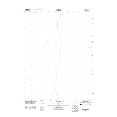
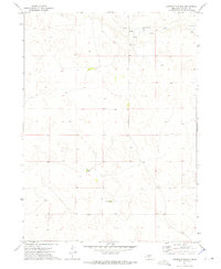
2011 Map of Big Bald Hill SE
USGS Topo · Published 2011About this map
Nebraska's Sandhills region near the border of Lincoln County is characterized here by a sparse landscape of section lines and subtle topography. The most prominent human marker on this terrain is Road E V N, a north-south thoroughfare that follows the section lines through the center of the quadrangle. The 2011 survey reveals an area largely dedicated to ranching and open grazing, where the lack of dense settlement or named crossroads emphasizes the vast, open character of this specific part of the Great Plains. Geographic details are minimal, focusing on the essential road network and physical relief as recorded by the U.S. Geological Survey during this 21st-century update.
Find a feature on this map
1 named feature on this map. Tap any name to fly to it.
Don’t see what you’re looking for? This feature index may not catch every label — zoom into the map to look around manually.
Map Details
Editions of this 2011 Big Bald Hill SE Map
This is the sole edition of this map. No revisions or reprints were ever made.
Other maps of this area

1898 · Paxton
USGS Topo · 1:125,000

1901 · Paxton
USGS Topo · 1:125,000

1954 · North Platte
USGS Topo · 1:250,000

1956 · North Platte
USGS Topo · 1:250,000

1957 · North Platte
USGS Topo · 1:250,000

1967 · North Platte
USGS Topo · 1:250,000
1971 · Nevens
USGS Topo · 1:24,000
1971 · Paxton North
USGS Topo · 1:24,000
1971 · Sutherland Reservoir NW
USGS Topo · 1:24,000
1972 · Applegate Ranch
USGS Topo · 1:24,000