Old Maps of Nebraska City, Nebraska for Genealogy
Trace your family roots with 18 historic maps of Nebraska City. These high-res maps reveal old neighborhoods, homesites, landmarks, and streets — helping you uncover where your ancestors lived and how the area evolved over time.
- Explore historic neighborhoods: Identify where your relatives may have lived in the 1800s or 1900s.
- Compare maps over time: Trace the changes in streets, buildings, and landmarks for multi-generational research.
- Perfect for genealogy & ancestry research: Used by family historians and researchers to map out lineage and migration.
These maps are an incredible resource for exploring your personal connection to Nebraska City's past.
Nebraska City, NE maps
(18)- 1907 Map of Nebraska City
 1907 Nebraska City1907 Print · USGSNebraska City and its surrounding Missouri River bluffs are captured here in the first decade of the 1900s during a period of significant rail expansion. Genealogists can locate numerous rural schoolhouses and small settlements like Minersville, Wyoming, and the historic St Lukes Church.3 unique versions available
 - 1955 Map of Nebraska City, 1967 Print
 1955 Nebraska City1967 Print · USGSThe four-state region surrounding the Missouri River valley appears here in the mid-1950s, a landscape of rail-dependent market towns and rural school districts. Genealogists can locate family landmarks like the Rock Bluff School, St Oswald Church, and the Clarinda State Hospital.3 unique versions available
 - 1957 Map of Nebraska City
 1957 Nebraska City1957 Print · USGSThe four-state junction of Nebraska, Iowa, Missouri, and Kansas comes alive in this mid-fifties survey of the Missouri River valley. Genealogists and historians can trace the rail-and-road networks connecting Nebraska City, Maryville, and the Squaw Creek National Wildlife Refuge.
 - 1958 Map of Nebraska City
 1958 Nebraska City1958 Print · USGSThe Missouri River Valley and its fertile four-state borderlands are captured here during the mid-century expansion of the regional highway and rail networks. Genealogists can trace family roots through numerous rural landmarks like Moulton School, Shady Grove Church, and the Clarinda State Hospital.
 - 1966 Map of Nebraska City NW, 1967 Print
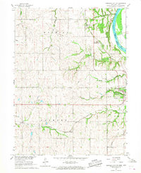 1966 Nebraska City NW1967 Print · USGSOtoe County at the height of the 1960s reveals a landscape shaped by historic transit and rural school districts. Genealogists and historians can trace the Steam Wagon Road, locate family-named sites like Cowles Cem, and see the early layout of Arbor Lodge State Park.
 - 1966 Map of Nebraska City, 1968 Print
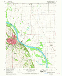 1966 Nebraska City1968 Print · USGSNebraska City and the Missouri River bottoms are captured here in the mid-sixties as the region's rail and agricultural networks remained in full swing. Researchers can trace family sites at Wyuka Cemetery, St Marys Cem, and local institutions like St Mary Hospital.2 unique versions available
 - 1985 Map of Nebraska City
 1985 Nebraska City1985 Print · USGSThe Missouri River borderlands of Nebraska, Iowa, and Missouri come into focus in the mid-1980s, showcasing a landscape of river navigation and rail-fed agriculture. Researchers can trace the heritage of Nebraska City, follow the Burlington Northern tracks, or explore river landmarks like Jones Point and McKissick Island.
 - 1993 Map of Nebraska City
 1993 Nebraska City1993 Print · USGSThe Missouri River valley and the rolling farmland of southwest Iowa are captured here in the early nineties, showing a landscape defined by water and rail. Researchers can trace the Burlington Northern lines or explore local landmarks like Arbor Lodge State Park and College Springs.
 - 2010 Map of Nebraska City, 2010 Print
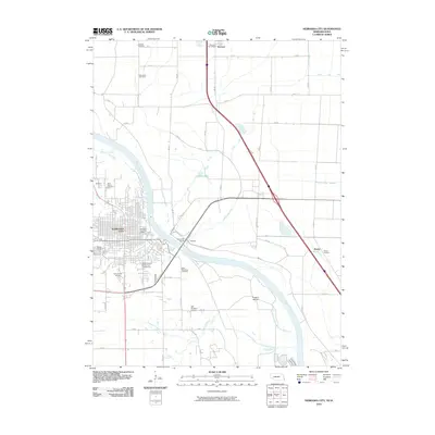 2010 Nebraska City2010 Print · USGSNebraska City and the Missouri River bottoms are captured here during the first decade of the millennium. Researchers can trace family history at Wyuka Cemetery or locate the rural crossroads of Percival and Payne Junction along the river's edge.
 - 2010 Map of Nebraska City NW, 2010 Print
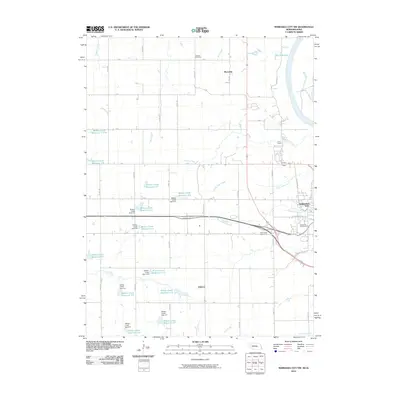 2010 Nebraska City NW2010 Print · USGSNear the Missouri River in the 2010s, this area north of Nebraska City showcases a landscape of modern water management and local heritage. Researchers can locate Cowles Cemetery, the settlement of Wyoming, and various catchments like Wilson Creek Reservoir 5-H.
 - 2011 Map of Nebraska City NW, 2011 Print
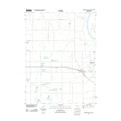 2011 Nebraska City NW2011 Print · USGSThe rural uplands of Otoe County come into focus during the early twenty-first century as agricultural lands meet the bluffs of the Missouri River. Genealogists and local historians can locate Cowles Cemetery and trace the small settlements of Wyoming and Elberon among a unique system of dozens of upland reservoirs.
 - 2011 Map of Nebraska City, 2011 Print
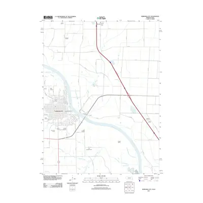 2011 Nebraska City2011 Print · USGSAcross the Missouri River in the early twenty-first century, Nebraska's orchards meet the rich Iowa bottomlands near the crossing at Nebraska City. Researchers can trace local burial history at Wyuka Cemetery or locate regional aviation hubs like Grundman Airport and Roll Brothers Airport.
 - 2014 Map of Nebraska City, 2014 Print
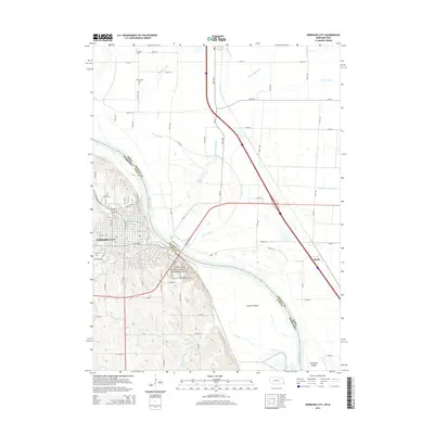 2014 Nebraska City2014 Print · USGSNebraska City and the Missouri River bottoms appear in this modern survey of the historic river crossing. Genealogists can locate family sites at Wyuka Cem and Saint Marys Cem, or trace the path of the Lewis and Clark National Historic Trail.
 - 2014 Map of Nebraska City NW, 2014 Print
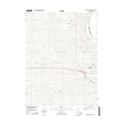 2014 Nebraska City NW2014 Print · USGSThe Missouri River bluffs and Otoe County uplands appear in great detail during the early twenty-first century. Genealogists and local historians can locate Cowles Cem, the community of Wyoming, and the historic path of Steam Wagon Rd.
 - 2017 Map of Nebraska City, 2017 Print
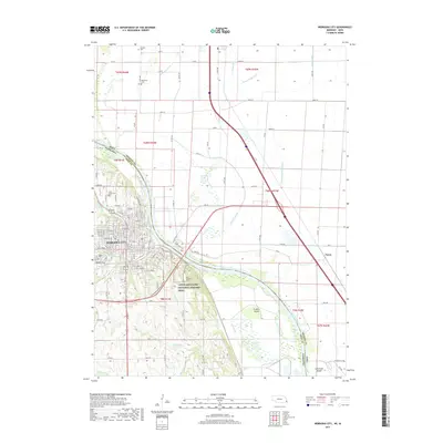 2017 Nebraska City2017 Print · USGSNebraska City and the Missouri River corridor are shown in detail during the late twenty-teens as the region balances urban growth and its riverfront heritage. Researchers can locate numerous local cemeteries such as Wyuka Cem and Blanchard Cem, or trace the path of the Lewis and Clark National Historic Trail.
 - 2017 Map of Nebraska City NW, 2017 Print
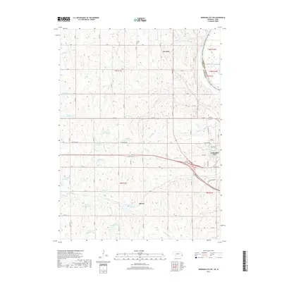 2017 Nebraska City NW2017 Print · USGSOtoe County, Nebraska, sits along the Missouri River in this modern topographical survey of its bluff-top farmlands and growing city outskirts. Family history researchers can locate the Cowles Cem or trace the early paths of Wyoming and Elberon as they relate to the terrain of Big Slough.
 - 2021 Map of Nebraska City NW, 2021 Print
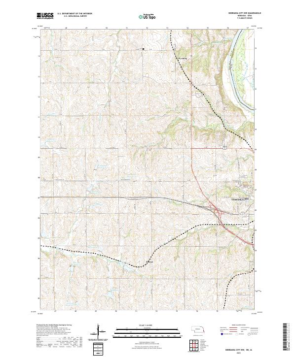 2021 Nebraska City NW2021 Print · USGSThe Nebraska-Iowa borderlands near Otoe County come into focus in this recent study of the rural landscape northwest of Nebraska City. Local historians can trace the paths of Steam Wagon Rd and locate landmarks like the Cowles Cem and the settlement of Wyoming.
 - 2021 Map of Nebraska City, 2021 Print
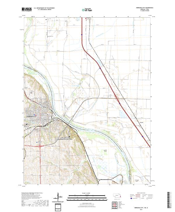 2021 Nebraska City2021 Print · USGSNebraska City and the Missouri River bottoms are captured here in the early twenty-first century, showing the intersection of civic life and river management. Local historians can trace cemetery locations like Wyuuka Cem or follow the intricate Horse Cr Ditch and Possum Ditch drainage networks.
End of results
Showing maps 1-18 of 18
Top cities near Nebraska City
- Sidney historical maps
- Tabor historical maps
- Hamburg historical maps
- Peru historical maps
- Talmage historical maps
- Union historical maps
See more
Top neighborhoods of Nebraska City
Frequently asked questions
- What are the different types of historical maps available for Nebraska City?
- What is the oldest map of Nebraska City?
- Where can I purchase historical maps of Nebraska City for my home or office?
- Where can I download high-res historical maps of Nebraska City?
- Are there historical topographic maps available for Nebraska City?
- Is there historical aerial imagery available for Nebraska City?
- Where are historical maps of Nebraska City sourced from?