2020s Maps of Bowen Precinct, Nebraska
Explore 38 historic maps of Bowen Precinct from the 2020s. These maps offer a rare glimpse into what life looked like during the 2020s — showing old roads, neighborhoods, homes, and landmarks that have changed or disappeared over time.
Whether you're researching your family's past, planning a metal detecting trip, or studying how Bowen Precinct's landscape evolved across the 2020s, these high-resolution maps are a powerful tool for exploring the history of this region.
- Focus on a specific era: All maps on this page are from the 2020s, giving you a focused view of this time period.
- See what’s changed: Compare century-old streets, trails, and buildings to today's modern landscape using overlays and satellite layers.
- Research with precision: Use these maps for genealogy, historical research, land use analysis, or educational projects.
- View, download, or print: Maps are fully viewable online in high resolution, and can be downloaded or printed for your own records.
Start exploring Bowen Precinct's history through authentic maps from the 2020s. This is your window into the past.
Bowen Precinct, NE maps
(38)- 2021 Map of Bodarc, 2021 Print
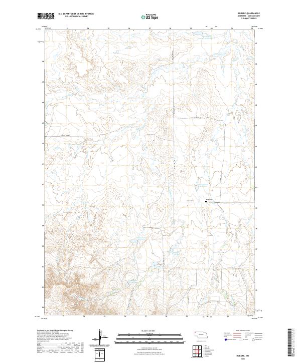 2021 Bodarc2021 Print · USGSSioux County ranch lands in the early 2020s are defined by isolated water catchments and the deep cuts of Sowbelly Canyon. Researchers can trace the layout of early rural infrastructure at Bodarc Cem or locate the sprawling Warbonnet Cr drainage.
 - 2021 Map of Montrose, 2021 Print
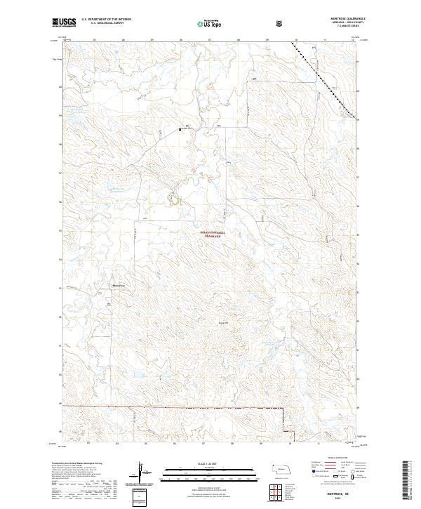 2021 Montrose2021 Print · USGSHigh plains ranching and public lands in Sioux County come into focus during this modern era. Genealogists and local historians can trace the rural landscape around Montrose, find the Pioneer Cem, and locate landmarks like Stony Hill and Semroska Reservoir.
 - 2021 Map of Harrison SW, 2021 Print
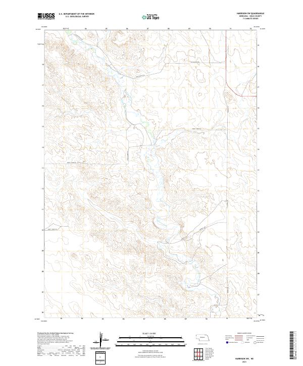 2021 Harrison SW2021 Print · USGSSioux County in 2021 reflects the enduring ranching character of the Nebraska Panhandle. Researchers can trace the path of the Niobrara River and locate vital water infrastructure like the Lakotah Canal along Morrill Rd.
 - 2021 Map of Harrison East, 2021 Print
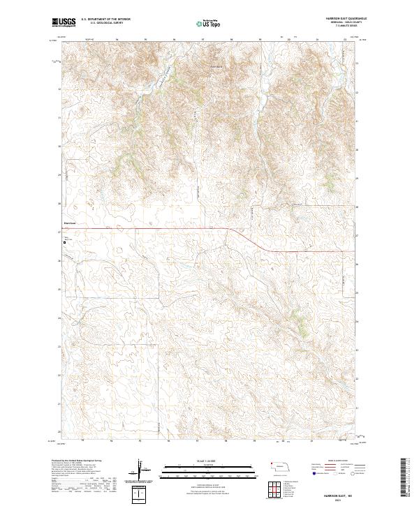 2021 Harrison East2021 Print · USGSHarrison and the high ranching country of Sioux County are captured here in the modern era. Genealogists and local historians can trace the roads and drainages of the Pine Ridge, from Saint Mary Cem to the depths of Sowbelly Canyon.
 - 2021 Map of Kyle Creek, 2021 Print
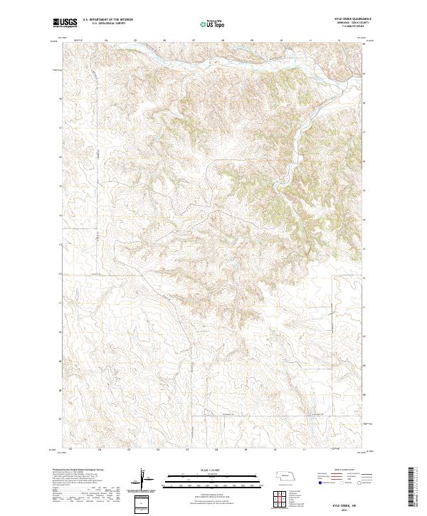 2021 Kyle Creek2021 Print · USGSNorthwestern Nebraska’s high plains and the valley of the White River are mapped here as they appeared in the early 2020s. Genealogists and land researchers can trace property boundaries along Andrews Rd, Buckley Rd, and the banks of Kyle Cr.
 - 2021 Map of Mount Edna, 2021 Print
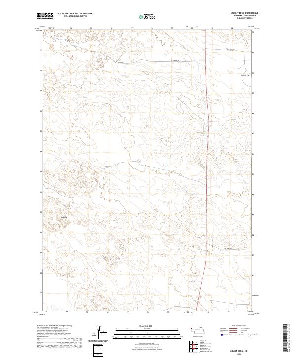 2021 Mount Edna2021 Print · USGSSioux County's high plains and cattle country are captured here in the early twenty-first century. Researchers can trace the rugged local geography around Mt Edna and the open stretches of Rayville Flat via remote routes like Murphy Rd.
 - 2021 Map of Agate NW, 2021 Print
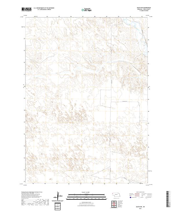 2021 Agate NW2021 Print · USGSHigh plains ranching country in western Nebraska is captured here during the early twenty-first century. Researchers can trace the path of the Niobrara River and follow rural access routes like Morrill Rd and Panhandle Rd across the open landscape.
 - 2021 Map of Agate SW, 2021 Print
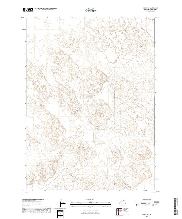 2021 Agate SW2021 Print · USGSSioux County's expansive ranching country is documented here at the start of the 2020s, showing the enduring grid of the Nebraska panhandle. Trace local access routes and section lines across the high plains, following Morrill Rd, Moore Rd, and Murphy Rd.
 - 2021 Map of Glen, 2021 Print
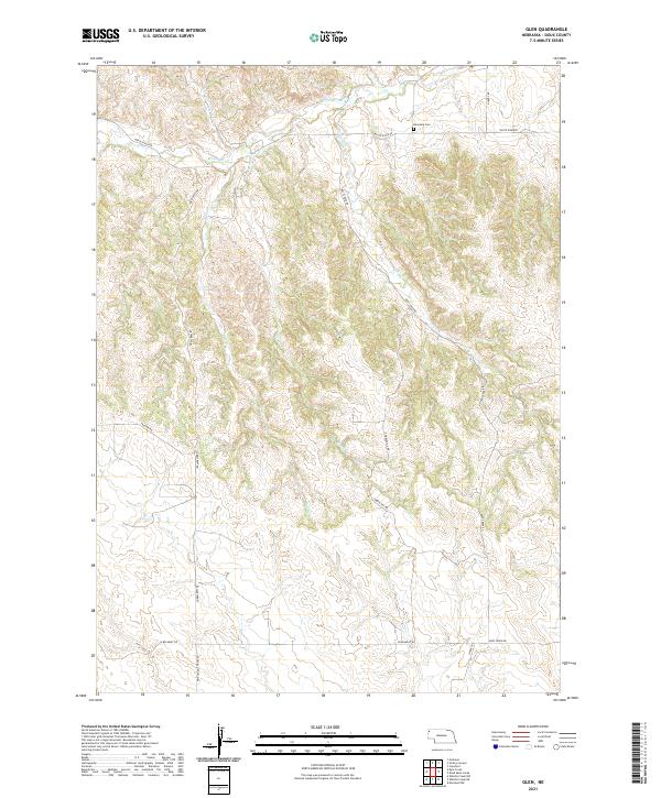 2021 Glen2021 Print · USGSSioux County at the start of the 2020s remains a landscape of remote ridges and deep creek drainages. Genealogists and local historians can trace the rural routes surrounding Glendale Cem and the distinctive Pink School House Rd.
 - 2021 Map of Harrison SE, 2021 Print
 2021 Harrison SE2021 Print · USGSSioux County ranchlands and high plains are preserved here in the early twenty-first century. Researchers can trace the layout of historical township lines and the paths of rural corridors like Evergreen Rd and Buckley Rd.
 - 2021 Map of Five Points, 2021 Print
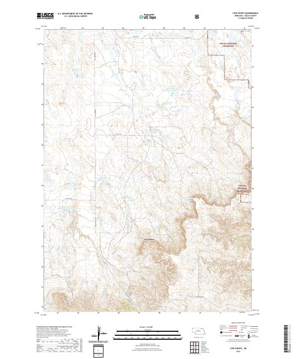 2021 Five Points2021 Print · USGSThe northern Great Plains of Sioux County appear here as a land of managed water and vast grazing acreage in the early twenty-first century. Researchers can trace land use through family-named landmarks like Staudenmaier Reservoir and Wickersham Reservoir or follow the route of Martin Trail Rd across the Oglala National Grassland.
 - 2021 Map of Crawford, 2021 Print
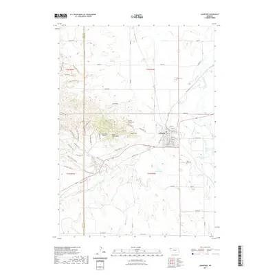 2021 Crawford2021 Print · USGSCovers Bowen Precinct, including Crawford, Sioux County, and other nearby areas
 - 2021 Map of Orella, 2021 Print
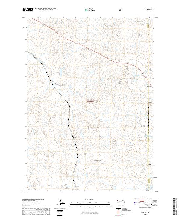 2021 Orella2021 Print · USGSThe northwestern Nebraska Panhandle comes into focus during the early 2020s, showcasing the high-plains geography of the Oglala National Grassland. Researchers can locate the settlement of Orella and trace water resources like Agate Dam Reservoir and the prominent Sugar Loaf Butte.
 - 2021 Map of Roundtop, 2021 Print
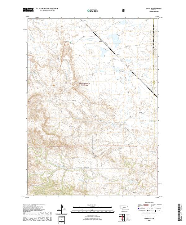 2021 Roundtop2021 Print · USGSSioux County in the early 2020s remains a landscape of open range and dramatic badlands. Researchers can trace the remote Union Star Cem and scattered ranch roads like Milo Rd that connect the small settlement of Joder to the expansive Oglala National Grassland.
 - 2021 Map of Harrison West, 2021 Print
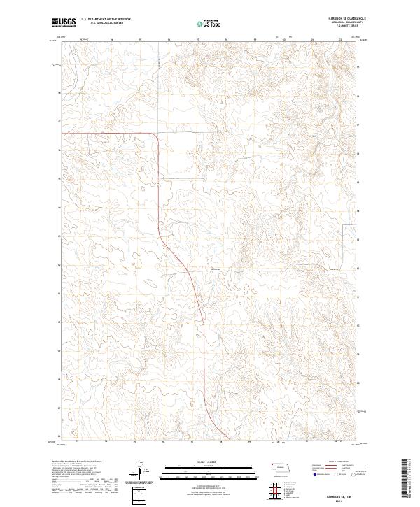
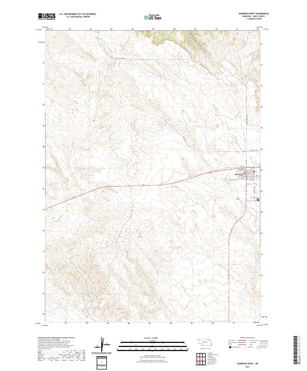 2021 Harrison West2021 Print · USGSHarrison remains the center of life in Sioux County in the early twenty-first century, anchored by its civic and community landmarks. Researchers can trace local history from the Sioux County Courthouse to the Harrison Cem and the winding Monroe Canyon Rd.
 - 2021 Map of Warbonnet Ranch, 2021 Print
 2021 Warbonnet Ranch2021 Print · USGSCovers Bowen Precinct, including Sioux County, United States, and other nearby areas
 - 2021 Map of Horn, 2021 Print
 2021 Horn2021 Print · USGSDawes County ranchlands and the Nebraska High Plains appear in clear detail during this recent survey of the Oglala National Grassland. Researchers can trace the drainage of Big Cottonwood Cr and locate the small settlement of Horn along with rural landmarks like Benedict Buttes.
 - 2021 Map of Story NE, 2021 Print
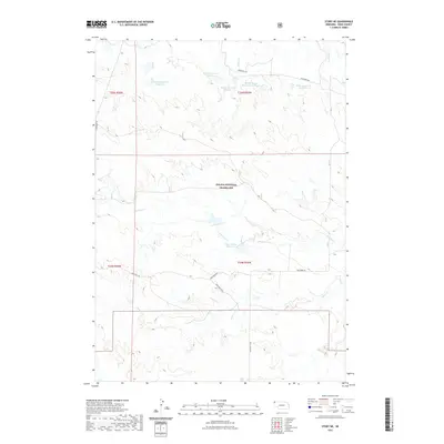 2021 Story NE2021 Print · USGSCovers Bowen Precinct, including Sioux County, United States, and other nearby areas
 - 2021 Map of Agate, 2021 Print
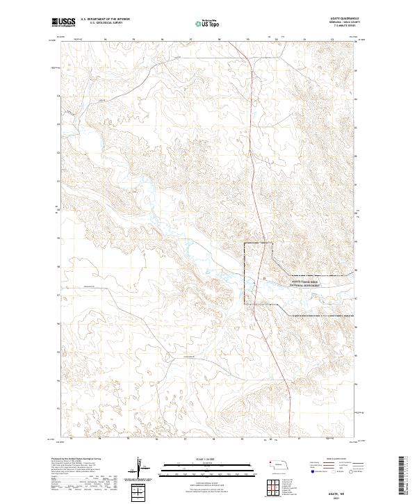 2021 Agate2021 Print · USGSSioux County ranchlands and paleontological sites are captured here in the early twenty-first century. Researchers can trace the path of the Niobrara River or locate the boundaries of the Agate Fossil Beds National Monument.
 - 2021 Map of Andrews, 2021 Print
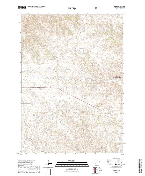 2021 Andrews2021 Print · USGSThe Pine Ridge country of Sioux County comes into focus in this recent survey, showcasing the headwaters of the White River. Researchers can trace the path of Trooper Trl or locate the settlement of Andrews along the banks of Soldier Spring Cr.
 - 2021 Map of Dead Mans Creek, 2021 Print
 2021 Dead Mans Creek2021 Print · USGSThe High Plains of Dawes County are captured here in the early twenty-first century as they transition into the forest. Researchers can trace land use through the Nebraska National Forest and landmarks like Dodd Reservoir or the sharply named Starvation Gulch.
 - 2021 Map of Story, 2021 Print
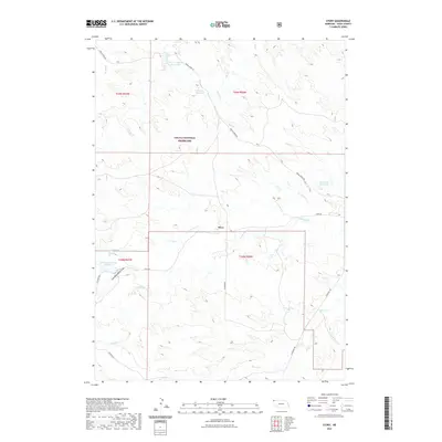 2021 Story2021 Print · USGSCovers Bowen Precinct, including Story, Sioux County, and other nearby areas
 - 2021 Map of Smiley Canyon, 2021 Print
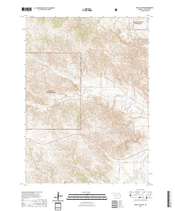 2021 Smiley Canyon2021 Print · USGSWestern Nebraska's Pine Ridge country is captured here in the early twenty-first century, showcasing the confluence of protected forest and grassland. Researchers can trace the drainage of Soldier Creek and explore historic trail names like Trooper Trl and Cheyenne Butte Trl.
 - 2021 Map of Crowe Dam, 2021 Print
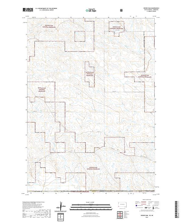 2021 Crowe Dam2021 Print · USGSThe high plains of South Dakota and Nebraska meet in this contemporary survey of public ranching lands. Researchers can trace the drainage of Coal Cr and Indian Cr across the Buffalo Gap National Grassland.
 - 2021 Map of Ardmore SE, 2021 Print
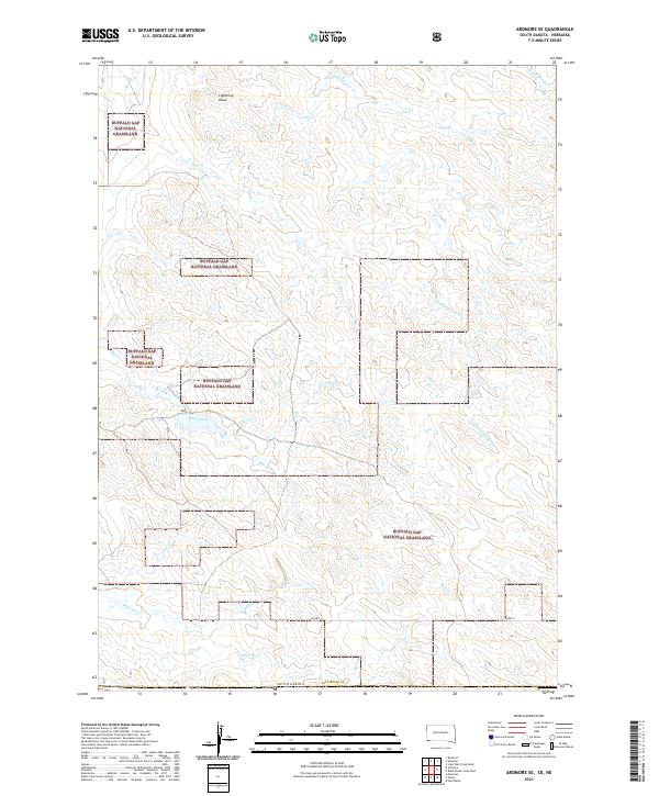 2021 Ardmore SE2021 Print · USGSFall River County at the edge of the South Dakota badlands remains a landscape of open prairie and seasonal draws in this contemporary survey. Researchers can trace the path of CO HWY 5 through the Buffalo Gap National Grassland and follow the drainages of Mule Creek and Hay Cr.
Showing maps 1-25 of 38
Top cities near Bowen Precinct
Top neighborhoods of Bowen Precinct
- Story historical maps
- Glen historical maps
- Joder historical maps
- Montrose historical maps
- Five Points historical maps
- Andrews historical maps
See more
Frequently asked questions
- What are the different types of historical maps available for Bowen Precinct?
- What is the oldest map of Bowen Precinct?
- Where can I purchase historical maps of Bowen Precinct for my home or office?
- Where can I download high-res historical maps of Bowen Precinct?
- Are there historical topographic maps available for Bowen Precinct?
- Is there historical aerial imagery available for Bowen Precinct?
- Where are historical maps of Bowen Precinct sourced from?