Old Maps of Paradise Valley, Nevada for Metal Detecting
Plan your next treasure hunt with 11 historic maps of Paradise Valley. Find old homesites, ghost towns, trails, and gathering spots that may be lost to time — perfect for identifying promising metal detecting locations.
- Locate forgotten sites: Uncover places like long-lost settlements, abandoned rail lines, or gathering spots.
- Plan better hunts: Use map overlays combined with LiDAR or satellite views to narrow in on historically rich areas.
- Made for detectorists: Thousands of hobbyists use these maps to discover relics, coins, and hidden history.
Use these historic maps to boost your research and find new opportunities beneath the surface of Paradise Valley.
Paradise Valley, NV maps
(11)- 1882 Map of Paradise
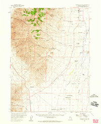
 1882 Paradise1882 Print · USGSHumboldt County in the early 1880s remains a frontier landscape of isolated stage stations and high mountain peaks. Genealogists and researchers can trace the early transit network between Paradise City and remote stops like Cane Springs Station and Flynn Station.
 - 1893 Map of Paradise
 1893 Paradise1893 Print · USGSHumboldt County was a landscape of remote outposts and high-desert ranges in the late nineteenth century. Researchers can trace the early stage and freight routes connecting Paradise City to vital waystations such as Cane Springs Station and Willow Point Station.6 unique versions available
 - 1955 Map of McDermitt
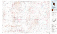
 1955 McDermitt1955 Print · USGSNorthern Nevada in the mid-fifties shows a landscape of mining camps and vast cattle ranges. Trace the early footprints of Tuscarora or the remote Cordero Mine and National Mine tucked into the high desert peaks.3 unique versions available
 - 1958 Map of Paradise Valley, 1960 Print
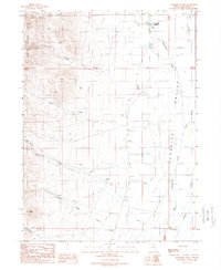
 1958 Paradise Valley1960 Print · USGSRanching and high-desert peaks define the Nevada landscape in the late fifties, where the high Humboldt National Forest meets the valley floor. Genealogists and historians can trace family properties like Grayson Ranch or locate historical transit markers including Willow Point and Paradise Well.2 unique versions available
 - 1959 Map of McDermitt
 1959 McDermitt1959 Print · USGSThe high-desert borderlands of northern Nevada and southern Oregon are captured here in the late fifties. Researchers can trace historic mining operations at the Cordero Mine and Getchell Mine, or locate settlements like Paradise Valley and Tuscarora.2 unique versions available
 - 1985 Map of Osgood Mts
 1985 Osgood Mts1985 Print · USGSHumboldt County in the mid-eighties was a hub of high-desert mining and remote ranching outposts. Trace the industrial footprint of the Getchell Mine, locate historic settlements like Amos, and follow the rail lines through Winnemucca.
 - 1988 Map of Paradise Valley, 1989 Print
 1988 Paradise Valley1989 Print · USGSThe northern Nevada desert meets the foothills of the Humboldt National Forest during the late 1980s. Local researchers can trace family roots around the community of Paradise Valley or locate ranching landmarks like Stone House and Trap Butte.
 - 2011 Map of Paradise Valley, 2011 Print
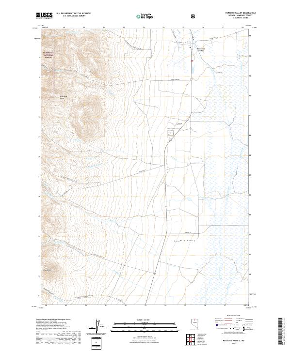
 2011 Paradise Valley2011 Print · USGSCovers Paradise Valley, including Humboldt County, United States, and other nearby areas
 - 2015 Map of Paradise Valley, 2015 Print
 2015 Paradise Valley2015 Print · USGSCovers Paradise Valley, including Humboldt County, United States, and other nearby areas
 - 2018 Map of Paradise Valley, 2018 Print
 2018 Paradise Valley2018 Print · USGSCovers Paradise Valley, including Humboldt County, United States, and other nearby areas
 - 2021 Map of Paradise Valley, 2021 Print
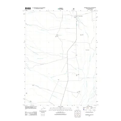
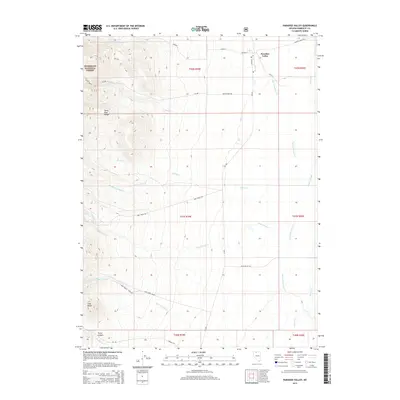
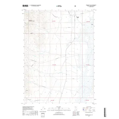
 2021 Paradise Valley2021 Print · USGSParadise Valley and the eastern slopes of the Santa Rosa Range appear in detail in this modern survey. Genealogists and historians can trace the ranching corridors of Keystone Ranch Rd and Daniel Ln as they cross Stone House Cr and the valley wetlands.
End of results
Showing maps 1-11 of 11
Frequently asked questions
- What are the different types of historical maps available for Paradise Valley?
- What is the oldest map of Paradise Valley?
- Where can I purchase historical maps of Paradise Valley for my home or office?
- Where can I download high-res historical maps of Paradise Valley?
- Are there historical topographic maps available for Paradise Valley?
- Is there historical aerial imagery available for Paradise Valley?
- Where are historical maps of Paradise Valley sourced from?