1970s Maps of Lincoln County, Nevada
Explore 114 historic maps of Lincoln County from the 1970s. These maps offer a rare glimpse into what life looked like during the 1970s — showing old roads, neighborhoods, homes, and landmarks that have changed or disappeared over time.
Whether you're researching your family's past, planning a metal detecting trip, or studying how Lincoln County's landscape evolved across the 1970s, these high-resolution maps are a powerful tool for exploring the history of this region.
- Focus on a specific era: All maps on this page are from the 1970s, giving you a focused view of this time period.
- See what’s changed: Compare century-old streets, trails, and buildings to today's modern landscape using overlays and satellite layers.
- Research with precision: Use these maps for genealogy, historical research, land use analysis, or educational projects.
- View, download, or print: Maps are fully viewable online in high resolution, and can be downloaded or printed for your own records.
Start exploring Lincoln County's history through authentic maps from the 1970s. This is your window into the past.
Lincoln County, NV maps
(114)- 1970 Map of The Bluffs, 1973 Print
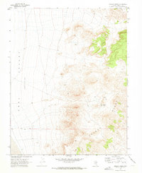
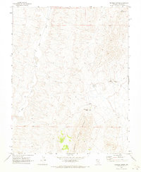
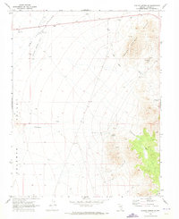
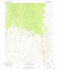
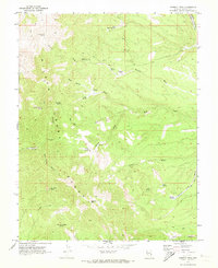
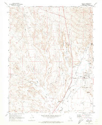
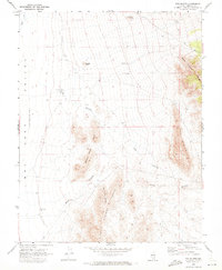 1970 The Bluffs1973 Print · USGSLincoln County’s high desert landscape is captured here in the early seventies, showing a world of isolated ranges and seasonal water features. Researchers can trace historic land use through cattle-rearing markers like the Corral and paths through Dog Hollow and Robber Roost Hills.2 unique versions available
 - 1970 Map of Bennett Pass, 1973 Print
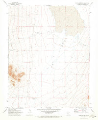
 1970 Bennett Pass1973 Print · USGSIn the arid mountains of Lincoln County during the early seventies, this survey traces a landscape of remote mineral exploration and rugged mountain passes. Researchers can locate the Pan American Mine, trace the winding path through Bennett Pass, and find old water sources like Bennett Springs.2 unique versions available
 - 1970 Map of Hiko NE, 1973 Print
 1970 Hiko NE1973 Print · USGSIn the high desert of Lincoln County during the 1970s, the terrain shifts from the towering peaks of the North Pahroc Range to the wide basin of Six Mile Flat. Local historians and researchers can trace early infrastructure like the Aqueduct and remote exploration sites marked by several Drill Holes.
 - 1970 Map of Pahroc Summit Pass, 1973 Print
 1970 Pahroc Summit Pass1973 Print · USGSIn the early 1970s, this portion of Lincoln County was defined by its arid basins and transit through the Pahroc Summit Pass. Researchers can trace the network of small desert water sources like White Sage Res and Knoll Pond Res alongside Route 93.2 unique versions available
 - 1970 Map of Oreana Spring, 1973 Print
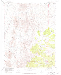
 1970 Oreana Spring1973 Print · USGSCoal Valley and the eastern ridges of the Seaman Range are captured here at the start of the 1970s. Researchers can trace remote desert geography through features like Oreana Spring, the Oreana Water Tank, and early survey markers along the Base Line.2 unique versions available
 - 1970 Map of Hiko SE, 1973 Print
 1970 Hiko SE1973 Print · USGSLincoln County in the early seventies is revealed as a landscape of remote resource exploration and rugged desert crossings. Researchers can trace the paths of old Jeep Trails connecting a lone Mine, a Prospect, and a Water Tank.3 unique versions available
 - 1970 Map of Seaman Wash, 1973 Print
 1970 Seaman Wash1973 Print · USGSLincoln County’s arid interior is revealed in this 1970s survey, documenting the sharp transition from desert peaks to valley floors. Researchers can trace the path of Seaman Wash through the Seaman Narrows and locate the vital Seaman Spring at the base of the mountains.2 unique versions available
 - 1970 Map of Mt. Wilson SW, 1973 Print
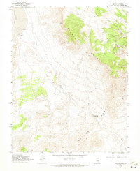
 1970 Mt. Wilson SW1973 Print · USGSLincoln County’s high desert landscape appears in great detail during the early 1970s. Researchers can locate remote water sources like Eightmile Well and Sixmile Well or trace old mining activity at a local Prospect.
 - 1970 Map of Deadman Spring, 1973 Print
 1970 Deadman Spring1973 Print · USGSThe high-desert terrain of Lincoln County in the early seventies is revealed through its network of remote water sources and cattle trails. Genealogists and desert explorers can trace the paths to Deadman Spring, Coal Spring, and the western banks of the White River.2 unique versions available
 - 1970 Map of Mt. Wilson, 1973 Print
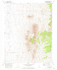
 1970 Mt. Wilson1973 Print · USGSMount Wilson rises above the Nevada landscape in the 1970s, anchoring a network of springs and early industrial sites. Historians and researchers can trace old desert routes via Jeep Trails to reach historic Kilns, a Prospect, and Eagle Spring.2 unique versions available
 - 1970 Map of Deadman Spring SE, 1973 Print
 1970 Deadman Spring SE1973 Print · USGSLincoln County’s high desert is captured in the early seventies, showing a landscape defined by ranching and arid-land hydrology. Researchers can trace remote livestock infrastructure like Hirshi Reservoir No 2, several Corral sites, and the expansive Dry Lake (Depression).2 unique versions available
 - 1970 Map of Ely Springs, 1973 Print
 1970 Ely Springs1973 Print · USGSThe Ely Springs Range area of Lincoln County is shown here in the 1970s, revealing a landscape of high-desert ranching and remote mining. Trace the scattered water sources vital to the region like Swiss Bob Well, Tex Spring, and the Ely Springs Ranch.
 - 1970 Map of Pahroc Spring SE, 1973 Print
 1970 Pahroc Spring SE1973 Print · USGSLincoln County’s high desert landscape is documented here in the early 1970s, showing the intersection of the Burnt Springs Range and the Delamar Valley. Researchers can trace remote water sources like Seven Oaks Spring and follow the route of a significant desert Aqueduct.2 unique versions available
 - 1970 Map of Wheatgrass Spring, 1973 Print
 1970 Wheatgrass Spring1973 Print · USGSLincoln County, Nevada, is captured here in the early seventies, centered on the high desert peaks and basins of the Great Basin. Remote water sources and access routes can be traced via Wheatgrass Spring, Pace Spring, and various Jeep Trails across the range.
 - 1970 Map of Deadman Spring NE, 1973 Print
 1970 Deadman Spring NE1973 Print · USGSThe high desert basins of Lincoln County are captured here just after the 1960s, showing a land of vast open flats and seasonal water. Researchers can trace the path of the solitary Jeep Trail as it passes Ely Springs and the unusual geological feature known as The Crack.
 - 1970 Map of Fossil Peak, 1973 Print
 1970 Fossil Peak1973 Print · USGSLincoln County’s arid interior was captured in the early seventies, showcasing a landscape of high ranges and remote valley floors. Researchers can trace land use through isolated landmarks like John Wright Reservoir, several named Wells, and the Drill Hole at Sixmile Flat.2 unique versions available
 - 1970 Map of Weepah Spring, 1973 Print
 1970 Weepah Spring1973 Print · USGSLincoln County’s high desert landscape is documented here in the early 1970s, showing a region defined by its peaks and sparse water sources. Trace historical travel routes along the Jeep Trail to isolated points like Weepah Spring and White Rock Spring.
 - 1970 Map of White River Narrows, 1973 Print
 1970 White River Narrows1973 Print · USGSThe high desert canyons of Lincoln County are captured here in the early 1970s, highlighting the ancient and modern routes through the basin. Researchers can locate archaeological Petroglyphs along the White River Narrows and trace isolated features like a Borrow Pit.
 - 1970 Map of Pierson Summit, 1973 Print
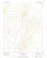
 1970 Pierson Summit1973 Print · USGSThe high peaks of Lincoln County come into focus in the early 1970s, showcasing a landscape of remote mountain passes and essential water sources. Trace old routes to Pierson Summit or locate early prospects at the Mines near Coal Burner Spring.
 - 1970 Map of Hiko, 1973 Print
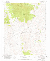
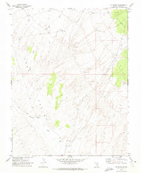
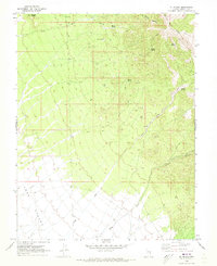
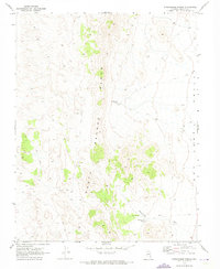
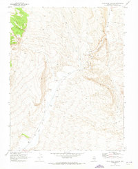
 1970 Hiko1973 Print · USGSThe Pahranagat Valley of the early seventies remains a landscape defined by its springs and wildlife refuges. Genealogists and historians can trace local landmarks like Hiko Cem and Crystal Springs, or map out the basins of Nesbitt Lake and Frenchy Lake.2 unique versions available
 - 1970 Map of Parsnip Peak, 1973 Print
 1970 Parsnip Peak1973 Print · USGSLincoln County's high desert peaks and isolated ranch lands are captured here during the early 1970s. Local history researchers can trace the old jeep trails and vital water sources like Buckhorn Ranch, Hulse Springs, and Parsnip Peak.2 unique versions available
 - 1970 Map of Pahroc Spring NE, 1973 Print
 1970 Pahroc Spring NE1973 Print · USGSLincoln County’s high-desert ranching landscape is meticulously documented in the early seventies, showing a world of wide basins and essential water engineering. Researchers can trace remote infrastructure like Mustang Reservoir, the Aqueduct, and a lonely Corral set against the Lake Valley (Depression).2 unique versions available
 - 1970 Map of Caliente NW, 1973 Print
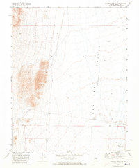
 1970 Caliente NW1973 Print · USGSLincoln County high-desert terrain at the start of the 1970s reveals a landscape defined by isolated water sources and early mining prospects. Researchers can trace the paths of an aqueduct and find family-named landmarks like Rabbit Spring and Crows Nest Tank.2 unique versions available
 - 1970 Map of Caliente, 1973 Print
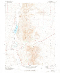
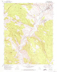 1970 Caliente1973 Print · USGSMeadow Valley and the Clover Mountains come into sharp focus in the 1970s as the railroad dictates the area's growth. Trace the rails through Caliente to the smaller settlement at Etna or locate the IOOF Cem and Pictographs.2 unique versions available
 - 1970 Map of Panaca, 1973 Print
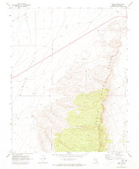
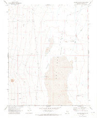
 1970 Panaca1973 Print · USGSPanaca and the Meadow Valley Wash appear here in the early seventies, showcasing a landscape of civic centers and geologic wonders. Researchers can trace the Bullionville (Site), locate the Bullionville Cem, and explore the formations of Cathedral Gorge State Park.
Showing maps 1-25 of 114
Top cities of Lincoln County
- Caliente historical maps
- Pioche historical maps
- Panaca historical maps
- Alamo historical maps
- Bennett Springs historical maps
- Hiko historical maps
See more
Frequently asked questions
- What are the different types of historical maps available for Lincoln County?
- What is the oldest map of Lincoln County?
- Where can I purchase historical maps of Lincoln County for my home or office?
- Where can I download high-res historical maps of Lincoln County?
- Are there historical topographic maps available for Lincoln County?
- Is there historical aerial imagery available for Lincoln County?
- Where are historical maps of Lincoln County sourced from?