2020s Maps of Lincoln County, Nevada
Explore 189 historic maps of Lincoln County from the 2020s. These maps offer a rare glimpse into what life looked like during the 2020s — showing old roads, neighborhoods, homes, and landmarks that have changed or disappeared over time.
Whether you're researching your family's past, planning a metal detecting trip, or studying how Lincoln County's landscape evolved across the 2020s, these high-resolution maps are a powerful tool for exploring the history of this region.
- Focus on a specific era: All maps on this page are from the 2020s, giving you a focused view of this time period.
- See what’s changed: Compare century-old streets, trails, and buildings to today's modern landscape using overlays and satellite layers.
- Research with precision: Use these maps for genealogy, historical research, land use analysis, or educational projects.
- View, download, or print: Maps are fully viewable online in high resolution, and can be downloaded or printed for your own records.
Start exploring Lincoln County's history through authentic maps from the 2020s. This is your window into the past.
Lincoln County, NV maps
(189)- 2020 Map of Pine Park, 2020 Print
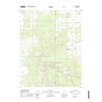 2020 Pine Park2020 Print · USGSThe Utah-Nevada borderlands are captured here in the early twenty-first century, showcasing the remote volcanic terrain of the Dixie National Forest. Trace backcountry routes like Beaver Dam Rd and locate vital water sources such as Pine Park Spring and Schroeder Lake.
 - 2020 Map of Dodge Spring, 2020 Print
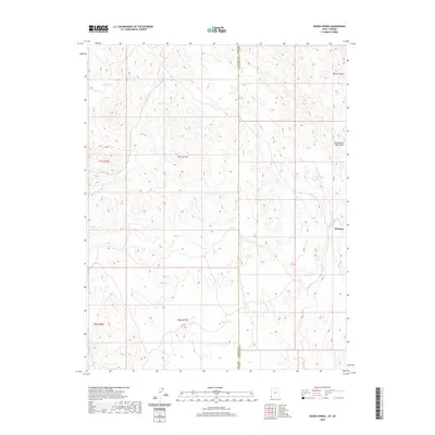 2020 Dodge Spring2020 Print · USGSThe high-desert borderlands of Washington County and Lincoln County are documented here in the early twenty-first century. Researchers can trace the drainage patterns of Horse Canyon or locate vital water sources like Dodge Spring and Bracken Pond near Motoqua.
 - 2020 Map of Scarecrow Peak, 2020 Print
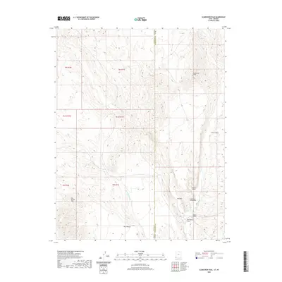 2020 Scarecrow Peak2020 Print · USGSThe Nevada and Utah borderlands come into focus in this recent survey of the high desert basin. Researchers can trace the rugged drainage patterns of Snow Spring Wash or locate the summit of Scarecrow Peak and the surrounding Terry Benches.
 - 2020 Map of Rice Mountain, 2020 Print
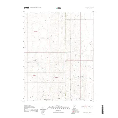 2020 Rice Mountain2020 Print · USGSThe Utah and Nevada borderlands are captured here in the contemporary era, showcasing a high-altitude wilderness at the meeting of Iron and Lincoln counties. Researchers can locate the State Line Cem and trace seasonal water sources like Chokecherry Spring or Rock Spring.
 - 2020 Map of Uvada, 2020 Print
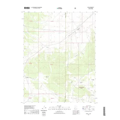 2020 Uvada2020 Print · USGSThe Utah-Nevada borderlands near the Dixie National Forest are captured here in the contemporary era. Researchers can map the water and rail infrastructure of high-desert ranching outposts like Uvada and Crestline, or trace geographical landmarks such as Devils Gap and Panaca Ridge.
 - 2021 Map of Vigo NE, 2021 Print
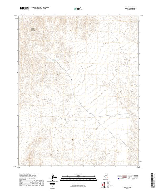 2021 Vigo NE2021 Print · USGSLincoln County’s high desert is captured here in the early twenty-first century, showcasing the arid reaches of the Meadow Valley Mountains. Researchers can locate remote water sources like Averett Reservoir, Averett Spring, and Hidden Spring.
 - 2021 Map of Worthington Peak, 2021 Print
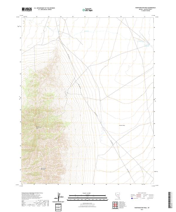 2021 Worthington Peak2021 Print · USGSHigh-desert terrain in Lincoln County is captured here in the early twenty-first century, showing the meeting of mountain peaks and valley floors. Researchers can trace the path of Mail Summit Rd as it skirts the Worthington Mountains and Garden Valley.
 - 2021 Map of Crescent Reservoir, 2021 Print
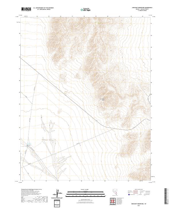 2021 Crescent Reservoir2021 Print · USGSTikaboo Valley and the eastern reaches of the Pahranagat Range are captured here in the early twenty-first century. Researchers can trace remote desert infrastructure and backcountry routes like Groom Rd, Mail Box Rd, and the namesake Crescent Reservoir.
 - 2021 Map of Vigo, 2021 Print
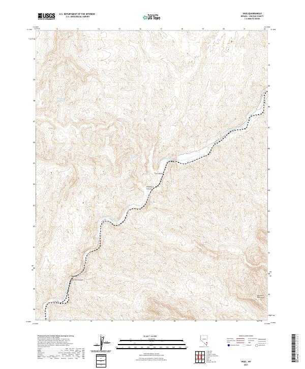 2021 Vigo2021 Print · USGSLincoln County’s arid interior reveals its settlement patterns along the Meadow Valley Wash in this 2021 study. Trace the small outpost of Galt and reliable water sources like Hackberry Spring at the foot of the Mormon Mountains.
 - 2021 Map of Caliente, 2021 Print
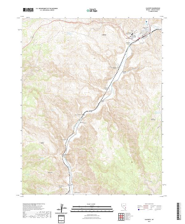 2021 Caliente2021 Print · USGSCaliente and the surrounding Lincoln County canyons are shown here in detail during the early twenty-first century. Genealogists and historians can trace the town's local roots at the Caliente City Cem or follow the terrain through Rainbow Canyon to the settlement of Etna.
 - 2021 Map of Mosey Mountain, 2021 Print
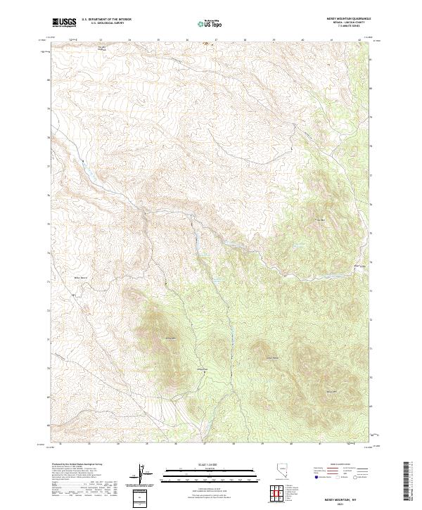 2021 Mosey Mountain2021 Print · USGSEastern Nevada high country appears in great detail in 2021, showing the complex ridges of the Cedar Range. Researchers can locate isolated water sources like Keel Spring and trace the paths of Miller Spring Wash through the high desert.
 - 2021 Map of Chokecherry Mountain, 2021 Print
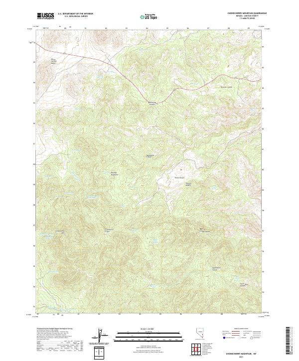 2021 Chokecherry Mountain2021 Print · USGSLincoln County's high-desert interior comes into focus here during the early twenty-first century. Researchers can trace the region's mining and ranching legacy through features like Taylor Mine Spring, Oak Springs Summit, and the remote Chokecherry Mtn.
 - 2021 Map of Toquop Gap, 2021 Print
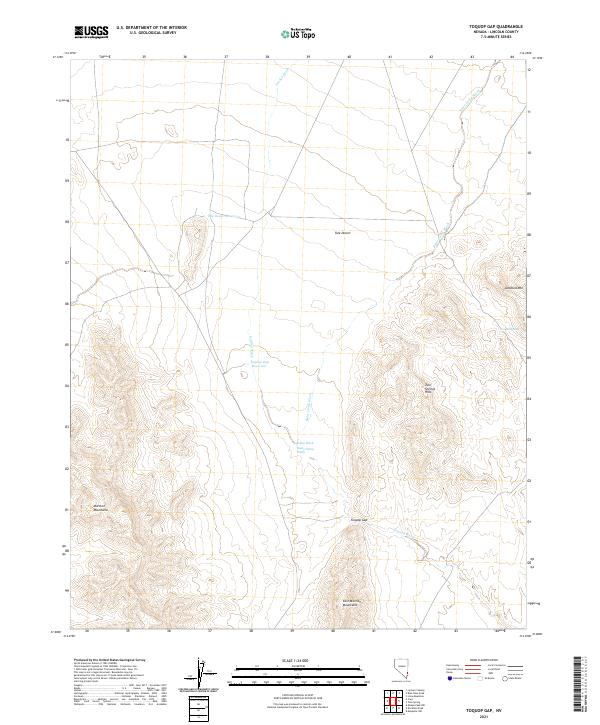 2021 Toquop Gap2021 Print · USGSLincoln County's high desert landscape is documented in this 2021 study, showing the arid basins and mountain gaps of southeast Nevada. Trace the seasonal water routes through Toquop Gap or locate remote landmarks like Summit Spring and Toquop Gap Reservoir.
 - 2021 Map of McCutchen Spring, 2021 Print
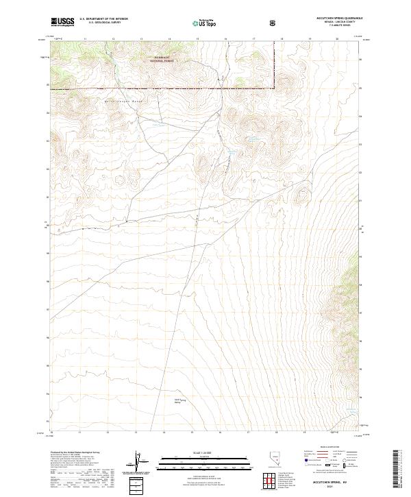 2021 McCutchen Spring2021 Print · USGSIn the high-desert mountains of Lincoln County during the early twenty-first century, this landscape shows the rugged intersection of the Quinn Canyon Range and Sand Spring Valley. Researchers can trace remote tracks like McCutchen Rd to find essential water sources like McCutchen Spring and Wild Horse Spring.
 - 2021 Map of Moapa Peak, 2021 Print
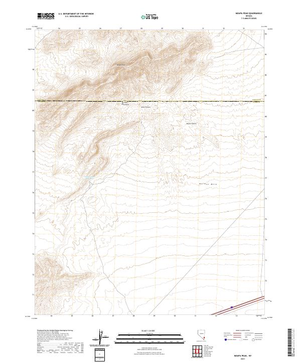 2021 Moapa Peak2021 Print · USGSSouthern Nevada's high desert reveals its complex topography in the early twenty-first century. Researchers can trace the steep ridgelines of the Mormon Mountains down to the Sheep Canyon Reservoir and across the broad Mormon Mesa.
 - 2021 Map of Farrier, 2021 Print
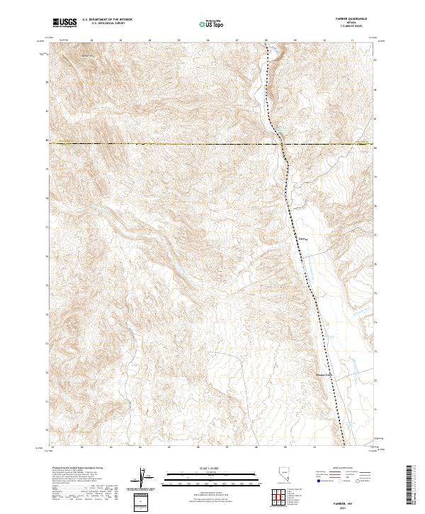 2021 Farrier2021 Print · USGSThe northern reaches of Clark County are captured here in the early twenty-first century, showing the corridor along Meadow Valley Wash. Researchers can trace the desert topography surrounding Moapa Town and find reliable water points like Cane Springs and Grapevine Springs.
 - 2021 Map of Moapa Peak NW, 2021 Print
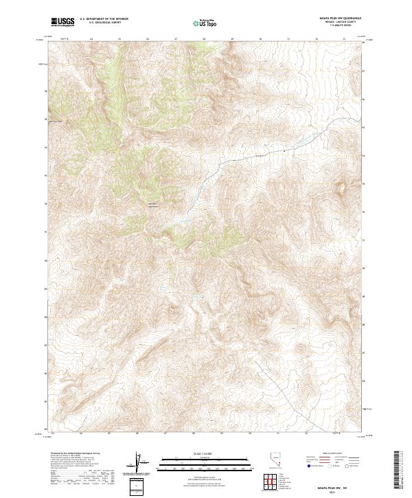 2021 Moapa Peak NW2021 Print · USGSThe high desert of Lincoln County is shown in this recent survey, centered on the dramatic elevations of the Mormon Mountains. Researchers can pinpoint isolated water sources like Horse Spring and Hackberry Spring or trace the S Fork Toquop Wash.
 - 2021 Map of Highland Peak, 2021 Print
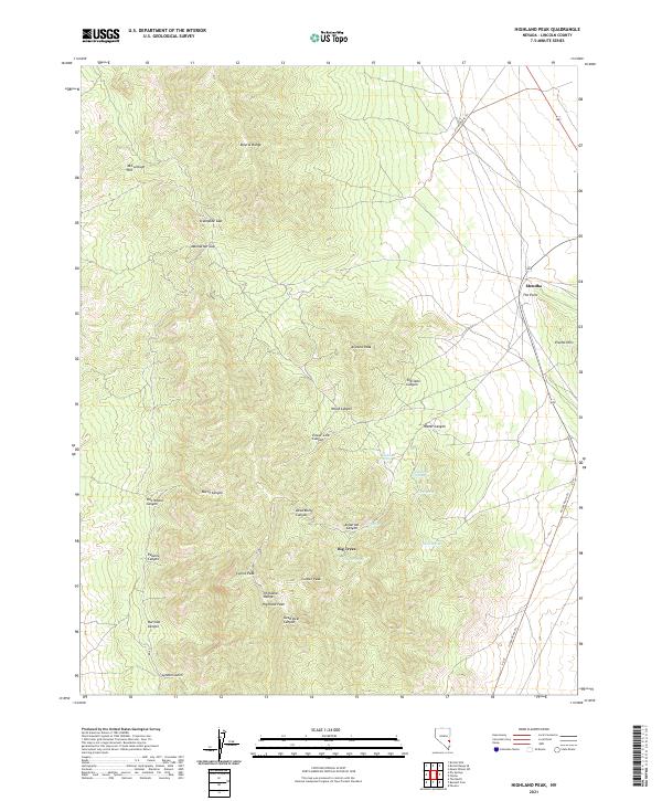 2021 Highland Peak2021 Print · USGSThe high-desert terrain of Lincoln County is shown here in the early twenty-first century, centered on the heights of the Highland Range. Researchers can trace the layout of the Mendha area or locate vital water sources like Highland Spring and Deadman Spring.
 - 2021 Map of Bennett Pass, 2021 Print
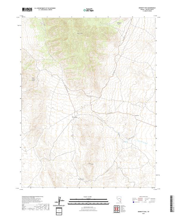 2021 Bennett Pass2021 Print · USGSLincoln County's high desert is mapped here in the modern era, showing the remote corridors of the eastern Nevada basin. Trace the unpaved paths through Bennett Pass, find the seasonal waters of Bennett Springs, and navigate the gap between the Chief Range and the Black Canyon Range.
 - 2021 Map of Dow Mountain, 2021 Print
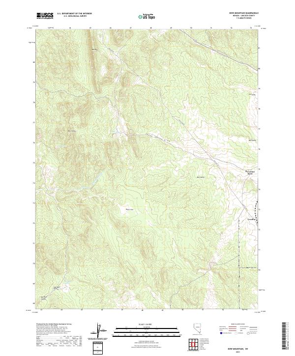 2021 Dow Mountain2021 Print · USGSLincoln County high country comes alive in this contemporary record of desert springs and high-altitude flats. Trace old routes through Crestline or find historic water points like Sheep Spring and Miser Spring.
 - 2021 Map of Islen, 2021 Print
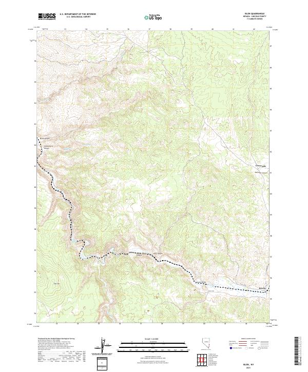 2021 Islen2021 Print · USGSLincoln County in the early 2020s remains a landscape of isolated outposts and vital desert water sources. Researchers can trace the routes through Clover Valley to find remote locales like Islen, Barclay, and the perennial Big Spring.
 - 2021 Map of Panaca, 2021 Print
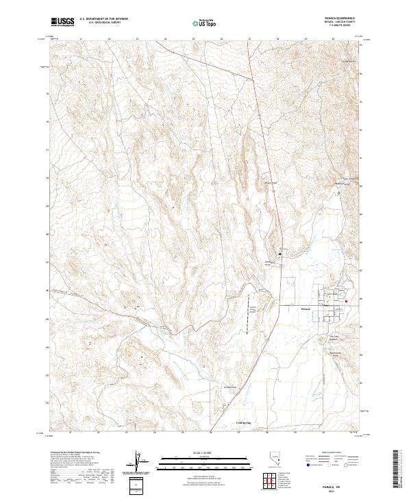 2021 Panaca2021 Print · USGSPanaca and the surrounding high-desert washes are captured here in the early twenty-first century. Researchers can trace local history at the Bullionville Cem and locate landmarks like Panaca Spring and Court Rock.
 - 2021 Map of Davidson Peak, 2021 Print
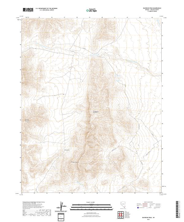 2021 Davidson Peak2021 Print · USGSHigh in the Lincoln County desert during the early twenty-first century, this map shows the steep reaches of the East Mormon Mountains. Modern researchers can trace backcountry routes like Sheep Pens Rd and locate vital water sources such as Gourd Spring and Peach Spring.
 - 2021 Map of Sunflower Mountain, 2021 Print
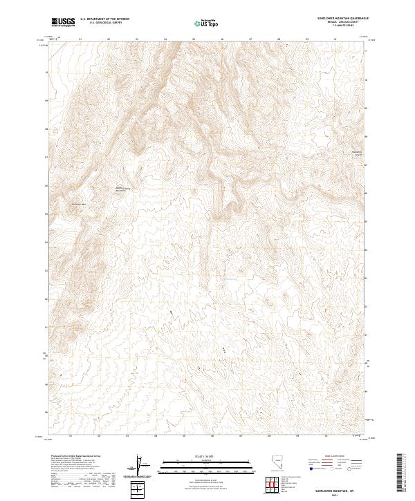 2021 Sunflower Mountain2021 Print · USGSThe Meadow Valley Mountains of Lincoln County are captured here in the early twenty-first century. Researchers can trace high-elevation terrain across Sunflower Mtn, locate the vital Willow Spring, and study the depths of Hackberry Canyon.
 - 2021 Map of Crescent Spring, 2021 Print
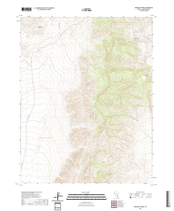 2021 Crescent Spring2021 Print · USGSLincoln County’s high desert reaches and the Timpahute Range are documented here during the early twenty-first century. Researchers can trace remote water sources like Crescent Spring and follow backcountry routes such as Cold Spring Rd through the Tikaboo Valley.
Showing maps 1-25 of 189
Top cities of Lincoln County
- Caliente historical maps
- Pioche historical maps
- Panaca historical maps
- Alamo historical maps
- Bennett Springs historical maps
- Hiko historical maps
See more
Frequently asked questions
- What are the different types of historical maps available for Lincoln County?
- What is the oldest map of Lincoln County?
- Where can I purchase historical maps of Lincoln County for my home or office?
- Where can I download high-res historical maps of Lincoln County?
- Are there historical topographic maps available for Lincoln County?
- Is there historical aerial imagery available for Lincoln County?
- Where are historical maps of Lincoln County sourced from?