1980s Maps of Lincoln County, Nevada
Explore 67 historic maps of Lincoln County from the 1980s. These maps offer a rare glimpse into what life looked like during the 1980s — showing old roads, neighborhoods, homes, and landmarks that have changed or disappeared over time.
Whether you're researching your family's past, planning a metal detecting trip, or studying how Lincoln County's landscape evolved across the 1980s, these high-resolution maps are a powerful tool for exploring the history of this region.
- Focus on a specific era: All maps on this page are from the 1980s, giving you a focused view of this time period.
- See what’s changed: Compare century-old streets, trails, and buildings to today's modern landscape using overlays and satellite layers.
- Research with precision: Use these maps for genealogy, historical research, land use analysis, or educational projects.
- View, download, or print: Maps are fully viewable online in high resolution, and can be downloaded or printed for your own records.
Start exploring Lincoln County's history through authentic maps from the 1980s. This is your window into the past.
Lincoln County, NV maps
(67)- 1980 Map of Alamo, 1989 Print
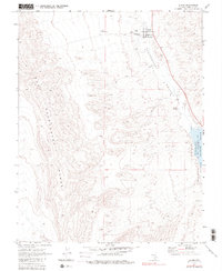 1980 Alamo1989 Print · USGSThe high-desert community of Alamo is captured here in the late sixties and early seventies, centered in the life of the Pahranagat Valley. Researchers can trace local landmarks like the Pahranagat Valley Sch, the Rodeo Grounds, and remote sites like Buckhorn Ranch.
 - 1980 Map of Alamo SE, 1992 Print
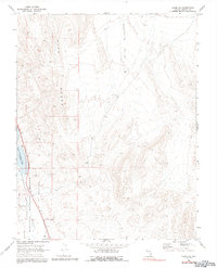 1980 Alamo SE1992 Print · USGSThe Pahranagat Valley in the late 1960s and 1980s reveals a critical wetland habitat amidst the high desert. Researchers can trace the boundaries of the Pahranagat National Wildlife Refuge and locate landmarks like Refuge Hdqrs and Upper Pahranagat Lake.
 - 1982 Map of Wilson Creek Range
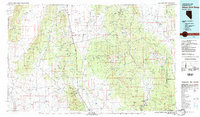 1982 Wilson Creek Range1982 Print · USGSLincoln County mining districts and high-desert basins are captured here in the early eighties as the region balanced mineral production with early conservation. Researchers can trace historic industrial sites like the Atlanta Mine and Bristol Silver Mine or locate remote landmarks such as The Hermitage.
 - 1983 Map of Cutler Reservoir
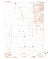 1983 Cutler Reservoir1983 Print · USGSTikaboo Valley in the early eighties was a landscape of stark desert basins and restricted military zones. Researchers can trace the boundaries of the Nellis Air Force Range and locate small water features like Blowfly Res and Cutler Res.
 - 1983 Map of Desert Hills SW
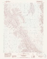 1983 Desert Hills SW1983 Print · USGSLincoln County’s high desert landscape appears here as it was in the early eighties, defined by vast federal land holdings and remote basins. Researchers can trace the boundaries of the Nellis Air Force Range and the National Wildlife Range across the Desert Range.
 - 1983 Map of Groom Range SE
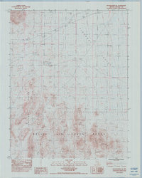 1983 Groom Range SE1983 Print · USGSSouthern Nevada in the early eighties was defined by its arid basins and military boundaries. Researchers can trace the desert terrain from Tikaboo Valley into the Jumbled Hills and the southern Nellis Air Force Range.
 - 1983 Map of Southeastern Mine
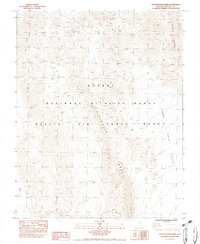 1983 Southeastern Mine1983 Print · USGSLincoln County in the early eighties was a landscape of restricted military territory and isolated mineral claims. Trace the location of the Southeastern Mine and the sprawling boundaries of the Nellis Air Force Range and Desert National Wildlife Range.
 - 1983 Map of Crescent Reservoir
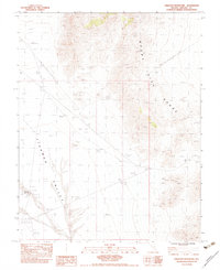 1983 Crescent Reservoir1983 Print · USGSLincoln County's high desert landscape is documented here in the early 1980s, showcasing the intersection of natural drainage and rangeland infrastructure. Researchers can trace the water management at Crescent Reservoir, identify the lonely Corral, and follow the path of the Single Pole Wooden Powerline.
 - 1983 Map of Hancock Summit
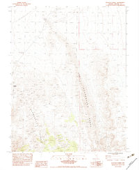 1983 Hancock Summit1983 Print · USGSThe high desert of Lincoln County is captured here in the early 1980s, documenting a landscape shaped by the Pahranagat Range. Researchers can trace the path of a Single Pole Wooden Powerline or locate the Gaging Station and Hancock Summit.
 - 1983 Map of Desert Hills NW
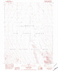 1983 Desert Hills NW1983 Print · USGSTikaboo Valley and the surrounding high desert are captured here in the early 1980s, revealing a landscape dominated by federal ranges. Military and environmental researchers can trace the limits of the Nellis Air Force Range and the Desert National Wildlife Range.
 - 1983 Map of Desert Hills NE
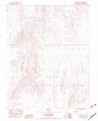 1983 Desert Hills NE1983 Print · USGSIn the early 1980s, this portion of Lincoln County was defined by the intersection of military testing grounds and wildlife conservation. Researchers can trace the high ridges of the Pahranagat Range as they divide the Tikaboo Valley from the Desert National Wildlife Range.
 - 1983 Map of Groom Range NE
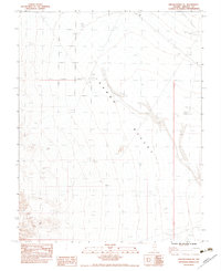 1983 Groom Range NE1983 Print · USGSTikaboo Valley in the early 1980s reveals a quiet landscape of range management and desert basin floor. Researchers can trace the water sources essential for livestock at the Stock Tank and Stock Tanks or follow the network of Wash drainages.
 - 1983 Map of Desert Hills SE
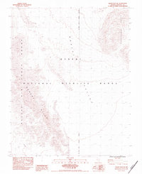 1983 Desert Hills SE1983 Print · USGSThe Southern Nevada backcountry in the early eighties shows a stark intersection of conservation and military history. Genealogists and historians can trace the precise boundaries of the Nellis Air Force Range and the Desert Hills through this high-desert terrain.
 - 1983 Map of Badger Spring
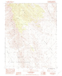 1983 Badger Spring1983 Print · USGSLincoln County’s high desert landscapes are captured here in the early 1980s, centered on the Pahranagat Range. Researchers can trace the military boundaries of the Nellis Air Force Range and find remote landmarks like Badger Mountain and Badger Spring (Dry).
 - 1983 Map of Fallout Hills NE
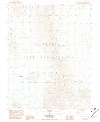 1983 Fallout Hills NE1983 Print · USGSIn the early 1980s, this Lincoln County landscape was defined by its dual identity as a military training ground and a wildlife refuge. Researchers can trace federal boundaries across the Jumbled Hills and follow the seasonal Emigrant Valley Wash.
 - 1985 Map of Mesquite
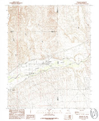 1985 Mesquite1985 Print · USGSThe Virgin River valley at the Nevada-Arizona border shows its agricultural roots and desert landscape in the mid-eighties. Genealogists and researchers can trace local infrastructure through the Mesquite Flume Ditch and locations like the Cem and Bunkerville.
 - 1985 Map of Pahranagat Range
 1985 Pahranagat Range1985 Print · USGSLincoln County, Nevada, is captured in the mid-eighties as a region of expansive wildlife refuges and restricted military testing zones. Researchers can trace the water network from Ash Springs to Upper Pahranagat Lake or locate remote sites like the Groom Mine.2 unique versions available
 - 1985 Map of Mesquite NW
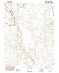 1985 Mesquite NW1985 Print · USGSLincoln County, Nevada, is shown in the mid-1980s as a desert landscape defined by its vital water sources and drainage systems. Researchers can trace the path of Toquop Wash or locate the historic Tule Springs at the base of the Tule Springs Hills.
 - 1985 Map of Mesquite NE
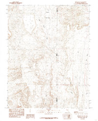 1985 Mesquite NE1985 Print · USGSThe Nevada and Arizona borderlands come into focus in the mid-1980s, showcasing the high desert terrain of Lincoln and Mohave counties. Researchers can trace seasonal drainage patterns and isolated landmarks like Terry Benches, Tule Spring, and Castle Cliff.
 - 1985 Map of Flat Top Mesa
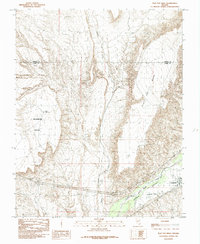 1985 Flat Top Mesa1985 Print · USGSBunkerville and the Virgin River valley are captured in the mid-1980s as agricultural life persisted between towering desert plateaus. Researchers can trace the path of the Bunkerville Ditch and explore the rugged borders of Flat Top Mesa and Mormon Mesa.
 - 1985 Map of Worthington Peak, 1986 Print
 1985 Worthington Peak1986 Print · USGSThe high-desert terrain of Lincoln County comes into focus during the mid-1980s, revealing a landscape of mining and resource extraction. Researchers can locate specific industrial relics like Mine Shafts, Tailings, and various Adits tucked into the slopes of the Worthington Mountains.
 - 1985 Map of Eds Well, 1986 Print
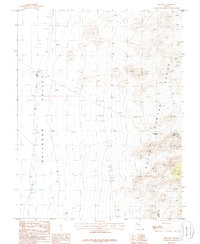 1985 Eds Well1986 Print · USGSHigh desert life in the early 1980s is captured here at the junction of Railroad Valley and the Quinn Canyon Range. Trace early mineral interest at a Prospect and locate remote water sources like Eds Well and Red Bluff Spring.
 - 1985 Map of Mail Summit, 1986 Print
 1985 Mail Summit1986 Print · USGSThe high-desert terrain of Lincoln County in the mid-1980s is captured here, centered on the rugged backbone of the Mount Irish Range. Researchers can locate legacy Mine Shafts near Silver Canyon and trace trails to isolated water sources like Henry Spring.
 - 1985 Map of McCutchen Spring, 1986 Print
 1985 McCutchen Spring1986 Print · USGSLincoln County in the mid-1980s is captured here as a landscape of dramatic mountain ranges and wide desert basins. Trace early mineral exploration at a Prospect or locate vital water sources like Mc Cutchen Spring and Wild Horse Spring in the shadow of the Quinn Canyon Range.
 - 1985 Map of Mount Irish, 1986 Print
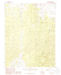 1985 Mount Irish1986 Print · USGSLincoln County mining and high-desert terrain are documented in the mid-1980s as explorers navigated the slopes of the Mount Irish Range. Trace old workings like a Mine Shaft and Prospects near Silver Canyon.
Showing maps 1-25 of 67
Top cities of Lincoln County
- Caliente historical maps
- Pioche historical maps
- Panaca historical maps
- Alamo historical maps
- Bennett Springs historical maps
- Hiko historical maps
See more
Frequently asked questions
- What are the different types of historical maps available for Lincoln County?
- What is the oldest map of Lincoln County?
- Where can I purchase historical maps of Lincoln County for my home or office?
- Where can I download high-res historical maps of Lincoln County?
- Are there historical topographic maps available for Lincoln County?
- Is there historical aerial imagery available for Lincoln County?
- Where are historical maps of Lincoln County sourced from?