1960s Maps of Lincoln County, Nevada
Explore 52 historic maps of Lincoln County from the 1960s. These maps offer a rare glimpse into what life looked like during the 1960s — showing old roads, neighborhoods, homes, and landmarks that have changed or disappeared over time.
Whether you're researching your family's past, planning a metal detecting trip, or studying how Lincoln County's landscape evolved across the 1960s, these high-resolution maps are a powerful tool for exploring the history of this region.
- Focus on a specific era: All maps on this page are from the 1960s, giving you a focused view of this time period.
- See what’s changed: Compare century-old streets, trails, and buildings to today's modern landscape using overlays and satellite layers.
- Research with precision: Use these maps for genealogy, historical research, land use analysis, or educational projects.
- View, download, or print: Maps are fully viewable online in high resolution, and can be downloaded or printed for your own records.
Start exploring Lincoln County's history through authentic maps from the 1960s. This is your window into the past.
Lincoln County, NV maps
(52)- 1960 Map of Lund
 1960 Lund1960 Print · USGSEastern Nevada and the Utah borderlands are mapped here during the mid-twentieth century, showing a landscape of high peaks and isolated ranching outposts. Researchers can locate remote mining sites like the Tungsten Queen Mine and early settlements including Lund and Shoshone.
 - 1960 Map of Plutonium Valley, 1962 Print
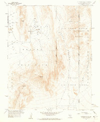 1960 Plutonium Valley1962 Print · USGSNye County's desert floor became a focal point of the atomic age during this era of intensive nuclear testing. Researchers can pinpoint the exact locations of several Blast Centers, a Bunker, and the Radioactive Waste Dump within Plutonium Valley.3 unique versions available
 - 1960 Map of Frenchman Flat, 1962 Print
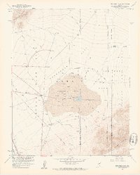 1960 Frenchman Flat1962 Print · USGSThe Nevada desert at the dawn of the 1960s serves as a critical backdrop for Cold War history and atomic research. Researchers can trace the layout of early nuclear testing infrastructure, from the Blast Center and Sugar Bunker to the remote Cane Spring.3 unique versions available
 - 1961 Map of Jangle Ridge, 1962 Print
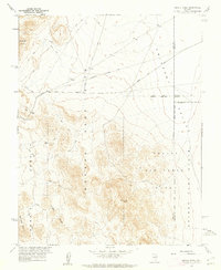 1961 Jangle Ridge1962 Print · USGSNye County's high desert was a site of intense Cold War activity during the early sixties, split between military testing grounds and wildlife preserves. Researchers can trace restricted sectors like Area 10 and Area 9 alongside landmarks like Jangle Ridge and Banded Mtn.3 unique versions available
 - 1961 Map of Paiute Ridge, 1962 Print
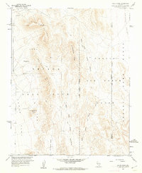 1961 Paiute Ridge1962 Print · USGSThe Nevada desert in the early sixties is captured here during its transformation into a high-security military testing ground. Researchers can trace specialized sites like Camera Station Butte Alpha and the Radioactive Waste Dump alongside the Nye and Lincoln County line.3 unique versions available
 - 1962 Map of Las Vegas
 1962 Las Vegas1962 Print · USGSSouthern Nevada is captured here during a period of significant military and industrial growth in the early sixties. Researchers can trace the development of Las Vegas alongside the Magnesium Plant in Henderson and the expansive Nellis Air Force Base.
 - 1962 Map of Groom Mine SW, 1963 Print
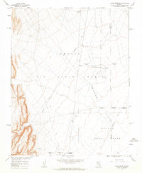 1962 Groom Mine SW1963 Print · USGSThe high desert of Nye County was a focal point of Cold War operations in the early sixties. Researchers can trace the restricted boundaries of the Nevada Test Site and find specialized features like the Alpha Contaminated Area and an abandoned airstrip.2 unique versions available
 - 1964 Map of Tempiute Mtn, 1965 Print
 1964 Tempiute Mtn1965 Print · USGSLincoln County mining and high-desert terrain are documented here in the mid-1960s, showing the intersection of industry and isolation. Researchers can trace the layout of the Tempiute Historic Site and locate remote operations like the Lincoln Mine or Andies Mine.2 unique versions available
 - 1969 Map of Shingle Pass, 1971 Print
 1969 Shingle Pass1971 Print · USGSThe high Nevada desert in the late 1960s reveals a landscape of vital water sources and remote trails along the Egan Range divide. Researchers can locate named landmarks like Whipple Cave, the isolated Prospect, and various watering holes including Silver Springs.
 - 1969 Map of Parker Station, 1971 Print
 1969 Parker Station1971 Print · USGSCave Valley and the Schell Creek Range appear here in the late sixties, capturing a landscape of historic transit and high-desert outposts. Researchers can locate the Parker Station (Old Stagecoach Station), Mike Urrutia Well, and Cave Spring Cave.
 - 1969 Map of Shingle Pass SE, 1971 Print
 1969 Shingle Pass SE1971 Print · USGSCave Valley and the surrounding high desert of Lincoln County are captured here in the late sixties. Researchers can trace early water infrastructure and land use through features like Harris Well, Sawmill Canyon, and a remote Mine.2 unique versions available
 - 1969 Map of Haggerty Spring, 1971 Print
 1969 Haggerty Spring1971 Print · USGSHigh desert springs and mountain passes define this area of the Egan Range in the late sixties. Researchers can trace historical movement via the Sheep Pass Trail and locate vital water sources like Stink Pot Spring and Haggerty Spring.2 unique versions available
 - 1969 Map of Alamo SE, 1972 Print
 1969 Alamo SE1972 Print · USGSThe Pahranagat Valley during the late 1960s reveals a critical desert wetland environment managed for conservation and local industry. Researchers can trace the boundaries of the Pahranagat National Wildlife Refuge and locate remote sites like the Refuge Hdqrs and the Gravel Pit.
 - 1969 Map of Farrier, 1972 Print
 1969 Farrier1972 Print · USGSThe desert corridor along the Union Pacific railroad comes into focus in the late sixties, showcasing the remote landscape of southern Nevada. Researchers can trace the drainage of Meadow Valley Wash past the settlement of Farrier and locate numerous early mining Prospects.
 - 1969 Map of Wildcat Wash NE, 1972 Print
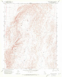 1969 Wildcat Wash NE1972 Print · USGSThe high desert of Lincoln County is documented here during the late sixties, showing a landscape defined by deep basins and dry washes. Map enthusiasts can trace the courses of Wildcat Wash and Farrier Wash or follow the lonely Jeep Trail through Meadow Valley.2 unique versions available
 - 1969 Map of Rox, 1972 Print
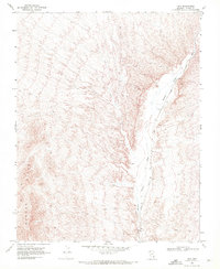 1969 Rox1972 Print · USGSMeadow Valley in the late sixties reveals a remote railroad landscape shaped by the Union Pacific line. Researchers can trace infrastructure along the canyon floor, including the siding at Hoya, various Prospect sites, and a Borrow Pit.2 unique versions available
 - 1969 Map of Vigo NW, 1972 Print
 1969 Vigo NW1972 Print · USGSLincoln County’s desert landscape is captured here in the late sixties, showing a territory defined by vital water sources and ancient history. Researchers can locate Petroglyphs and trace the paths of Kane Springs Wash and Grapevine Spring.
 - 1969 Map of Rox NE, 1972 Print
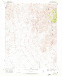 1969 Rox NE1972 Print · USGSThe Mormon Mountains of Lincoln County are captured in the late sixties as a landscape of isolated mining and rail transport. Researchers can trace the Union Pacific line or search for remote sites like the Ruin and various prospect excavations near Mormon Peak.2 unique versions available
 - 1969 Map of Wildcat Wash NW, 1972 Print
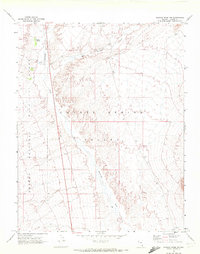 1969 Wildcat Wash NW1972 Print · USGSLincoln County's high desert was a landscape of remote trails and vital water seeps during the late sixties. Researchers can trace the path of Pahranagat Wash through the Coyote Spring Valley and locate landmarks like Coyote Spring and the Desert National Wildlife Range.2 unique versions available
 - 1969 Map of Delamar, 1972 Print
 1969 Delamar1972 Print · USGSLincoln County mining history is preserved here in the late sixties, detailing the district around Delamar and its rugged surroundings. Researchers can trace the legacy of local silver mining through identified Ruins, several Mine locations, and the historic Cem.2 unique versions available
 - 1969 Map of Rox SE, 1972 Print
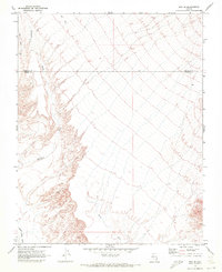 1969 Rox SE1972 Print · USGSThe high desert along the border of Clark and Lincoln counties comes into focus in this late 1960s study. Explorers and researchers can trace the paths of Meadow Valley Wash, a single Jeep Trail, and a remote Drill Hole in this arid landscape.2 unique versions available
 - 1969 Map of Wildcat Wash SE, 1972 Print
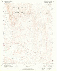 1969 Wildcat Wash SE1972 Print · USGSThe high desert border of Clark and Lincoln counties comes into focus in the late sixties. Researchers can trace remote Jeep Trails and desert landmarks like Table Mountain, Dead Man Hill, and a lone mineral Prospect.2 unique versions available
 - 1969 Map of Moapa Peak, 1972 Print
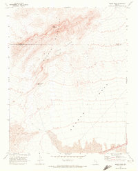 1969 Moapa Peak1972 Print · USGSThe high desert of southern Nevada comes into focus in the late sixties, where the Mormon Mountains meet the vast Mormon Mesa. Researchers can trace the path of an old Jeep Trail past isolated Ruins and the Sheep Canyon Reservoir.2 unique versions available
 - 1969 Map of Mule Deer Ridge SE, 1972 Print
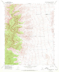 1969 Mule Deer Ridge SE1972 Print · USGSThe high Nevada desert at the close of the 1960s reveals a landscape of isolated springs and mountain trails. Researchers can locate remote water sources like Grapevine Spring and Cherry Spring, or trace the faint path of a Jeep Trail past unnamed ruins.2 unique versions available
 - 1969 Map of Mule Deer Ridge, 1972 Print
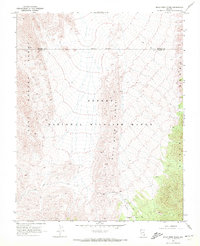 1969 Mule Deer Ridge1972 Print · USGSSouthern Nevada's high basins and mountain spines are documented here in the late sixties, where the wildlife range meets the county line. Explore the primitive Dead Horse Trail and find cattle-era landmarks like a corral and scattered ruins.2 unique versions available
Showing maps 1-25 of 52
Top cities of Lincoln County
- Caliente historical maps
- Pioche historical maps
- Panaca historical maps
- Alamo historical maps
- Bennett Springs historical maps
- Hiko historical maps
See more
Frequently asked questions
- What are the different types of historical maps available for Lincoln County?
- What is the oldest map of Lincoln County?
- Where can I purchase historical maps of Lincoln County for my home or office?
- Where can I download high-res historical maps of Lincoln County?
- Are there historical topographic maps available for Lincoln County?
- Is there historical aerial imagery available for Lincoln County?
- Where are historical maps of Lincoln County sourced from?