2000s (21st Century) Maps of Lincoln County, Nevada
Explore 745 historic maps of Lincoln County from the 2000s (21st Century). These maps offer a rare glimpse into what life looked like during the 2000s — showing old roads, neighborhoods, homes, and landmarks that have changed or disappeared over time.
Whether you're researching your family's past, planning a metal detecting trip, or studying how Lincoln County's landscape evolved across the 2000s, these high-resolution maps are a powerful tool for exploring the history of this region.
- Focus on a specific era: All maps on this page are from the 2000s, giving you a focused view of this time period.
- See what’s changed: Compare century-old streets, trails, and buildings to today's modern landscape using overlays and satellite layers.
- Research with precision: Use these maps for genealogy, historical research, land use analysis, or educational projects.
- View, download, or print: Maps are fully viewable online in high resolution, and can be downloaded or printed for your own records.
Start exploring Lincoln County's history through authentic maps from the 2000s. This is your window into the past.
Lincoln County, NV maps
(745)- 2002 Map of Pine Park, 2005 Print
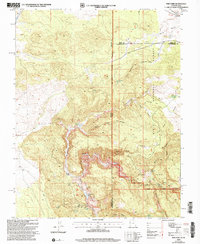 2002 Pine Park2005 Print · USGSThe Utah and Nevada borderlands come into focus at the turn of the millennium, showing a landscape defined by state park boundaries and forest reserves. Local historians can trace cattle-era landmarks like Hamblin Ranch and crucial desert water sources such as Pine Park Spring and Schroeder Lake.
 - 2002 Map of Uvada, 2005 Print
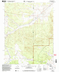 2002 Uvada2005 Print · USGSCrossing the high-desert border at the turn of the millennium, this area shows the vital intersection of rail and water in a remote basin. Genealogists and rail historians can trace the Union Pacific line as it connects the settlements of Uvada and Crestline.
 - 2011 Map of Docs Pass, 2011 Print
 2011 Docs Pass2011 Print · USGSHigh-altitude peaks and vital water sources define this borderland region in the early twenty-first century. Genealogists and historians can trace livestock routes through Cattle Pass or locate the remote Holts Cabin near Dobin Creek.
 - 2011 Map of Dodge Spring, 2011 Print
 2011 Dodge Spring2011 Print · USGSWashington County at the start of the 2010s reveals a quiet landscape of desert washes and isolated outposts. Researchers can trace the path of Cedar Wash past Halfway Camp or locate the remote waters of Dodge Spring and Bracken Pond.
 - 2011 Map of Scarecrow Peak, 2011 Print
 2011 Scarecrow Peak2011 Print · USGSWashington County, Utah, is captured in this early twenty-first-century survey during a period of modern mapping and landscape monitoring. Genealogists and desert explorers can trace the remote drainage systems of Scarecrow Peak, Indian Canyon, and Bull Valley Wash.
 - 2011 Map of Prohibition Flat, 2011 Print
 2011 Prohibition Flat2011 Print · USGSThe Nevada-Utah borderlands in the early twenty-first century reveal a landscape of high-desert mining and water management. Researchers can trace the path of Gold Springs Rd to the Blue Ridge Mine or locate isolated water sources like Newels Spring.
 - 2011 Map of Deer Lodge Canyon, 2011 Print
 2011 Deer Lodge Canyon2011 Print · USGSThe Nevada-Utah borderlands were centers of mining activity in the early twenty-first century, with claims scattered across the high desert terrain. Researchers can locate remote sites like the Hackett Cemetery or trace the legacy of the Homestake Mine and Silver Star Mine.
 - 2011 Map of Terry Benches, 2011 Print
 2011 Terry Benches2011 Print · USGSThis desert plateau on the tri-state border of Utah, Nevada, and Arizona is shown in the early 2000s as a remote landscape of canyons and mesas. Researchers can locate the Initial Monument and trace the paths of Snow Spring Wash and Sand Hollow Wash.
 - 2011 Map of White Rock Peak, 2011 Print
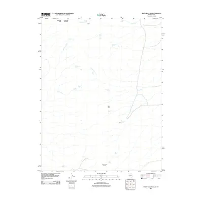 2011 White Rock Peak2011 Print · USGSThe high-altitude borderlands of Iron County are captured here in the early twenty-first century. Researchers can locate isolated backcountry outposts and essential water sources like Scottys Cabin, White Rock Cabin, and Quaking Aspen Springs.
 - 2011 Map of Hamlin Well, 2011 Print
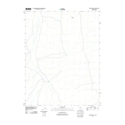 2011 Hamlin Well2011 Print · USGSThe Nevada-Utah borderlands at the start of the century reveal a landscape where water and topography dictate the local geography. Researchers can trace the drainages of Wood-McCullough Creek and Cobb Creek or locate landmarks like Hamlin Well and Miller Mountain.
 - 2011 Map of Gleason Basin, 2011 Print
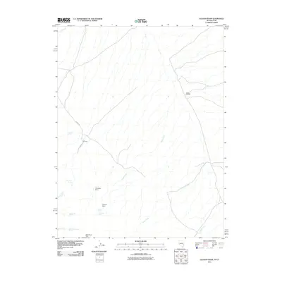 2011 Gleason Basin2011 Print · USGSThe Nevada-Utah borderlands in the early twenty-first century are documented here, highlighting the remote ranching and grazing landscapes of Beaver County. Researchers can trace historical water access points like Milk Ranch Springs and the isolated settlement at The Hermitage.
 - 2011 Map of Miller Wash, 2011 Print
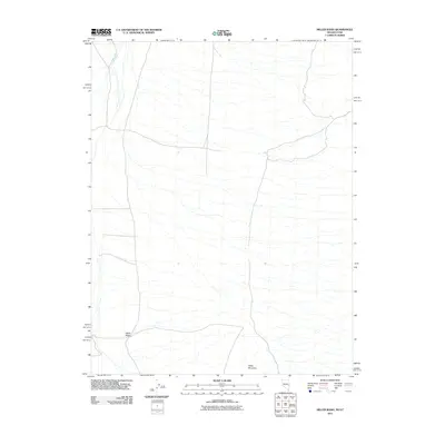 2011 Miller Wash2011 Print · USGSBeaver County’s western borderland is captured in detail during the early twenty-first century, showing a remote landscape of high-desert basins. Researchers can trace the seasonal paths of Miller Wash and Hyde Wash or locate the rugged terrain around Miller Mountain.
 - 2011 Map of Rice Mountain, 2011 Print
 2011 Rice Mountain2011 Print · USGSThe high-desert borderlands of Utah and Nevada come into sharp focus in this early 2000s survey of Iron County. Genealogists and historians can locate the State Line Cemetery and trace the paths to the Confidence Mine or through Horse Valley.
 - 2011 Map of Pine Park, 2011 Print
 2011 Pine Park2011 Print · USGSWashington County, Utah, and the Nevada borderlands appear in the early 21st century as a landscape of remote ranching and essential water management. Researchers can trace the geography of the high desert through Hamblin Ranch, Schroeder Lake, and Pine Park Campground.
 - 2011 Map of Uvada, 2011 Print
 2011 Uvada2011 Print · USGSThe high desert corridor near the Utah-Nevada line comes into focus in this early 21st-century survey of the Uvada area. Modern researchers can trace essential water sources like Lafes Reservoir and topographic landmarks such as Devils Gap.
 - 2012 Map of Mule Deer Ridge NE, 2012 Print
 2012 Mule Deer Ridge NE2012 Print · USGSThe high-elevation desert of the Nevada wilderness is captured here in the early twenty-first century. Researchers and outdoorsmen can trace the locations of vital water sources like Lamb Spring and Sheep Spring along the Sheep Range.
 - 2012 Map of Mule Deer Ridge SE, 2012 Print
 2012 Mule Deer Ridge SE2012 Print · USGSClark County's high desert reaches and isolated mountain terrain are captured here in the early twenty-first century. Researchers can locate essential water sources and landmarks like Cherry Spring, Cabin Spring, and the prominent Sheep Range.
 - 2012 Map of Wildcat Wash NW, 2012 Print
 2012 Wildcat Wash NW2012 Print · USGSLincoln County ranching and desert travel are documented here in the early twenty-first century. Researchers can locate remote water sources and historical transit routes like Butler Ranch, Coyote Spring, and the original path of Old Hwy 93.
 - 2012 Map of Wildcat Wash SE, 2012 Print
 2012 Wildcat Wash SE2012 Print · USGSSouthern Nevada desert terrain at the turn of the decade is mapped here, showing the drainage systems north of Moapa Valley. Trace the historical path of Old Hwy 93 and find landmarks like Table Mountain and Dead Man Hill.
 - 2012 Map of McCutchen Spring, 2012 Print
 2012 McCutchen Spring2012 Print · USGSLincoln County's high desert landscape is documented here in the early twenty-first century, showing the remote intersection of two great valleys. Researchers can trace the essential water sources and range roads of the area, including McCutchen Spring, Cedar Spring, and the Worthington Mountains.
 - 2012 Map of Farrier, 2012 Print
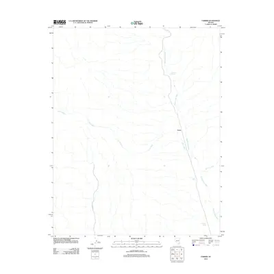 2012 Farrier2012 Print · USGSArid Clark County is documented in the early twenty-first century, centered on the corridor of the Meadow Valley Wash. Researchers can trace drainage patterns and vital desert water sources like Farrier, Cane Springs, and Grapevine Springs.
 - 2012 Map of Moapa Peak NW, 2012 Print
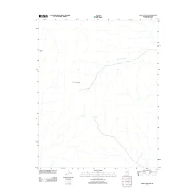 2012 Moapa Peak NW2012 Print · USGSThe Mormon Mountains and high Nevada desert are captured here as they appeared in 2012. Researchers and collectors can trace remote water sources like Horse Spring, Wiregrass Spring, and the long course of the South Fork Toquop Wash.
 - 2012 Map of Mesquite NW, 2012 Print
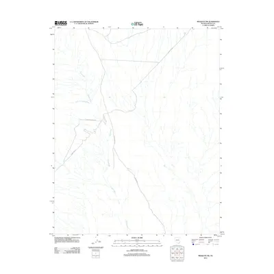 2012 Mesquite NW2012 Print · USGSLincoln County at the start of the 2010s reveals a desert landscape organized around dry washes and utility corridors. Researchers can trace the path of Phone Cable Rd as it cuts across the watershed of Toquop Wash.
 - 2012 Map of Quinn Canyon Springs, 2012 Print
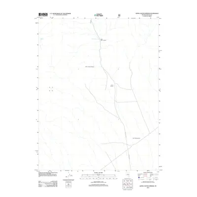 2012 Quinn Canyon Springs2012 Print · USGSLincoln County at the start of the 2010s remains a landscape of isolated springs and high-desert ranges. Trace the drainage from Quinn Canyon Range down to Sand Spring Valley via routes like Quinn Canyon Rd.
 - 2012 Map of Rox NE, 2012 Print
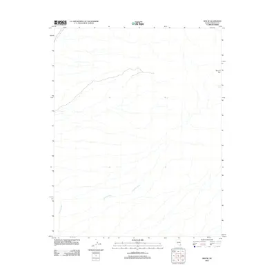 2012 Rox NE2012 Print · USGSLincoln County's desert terrain is captured here in the early twenty-first century, showcasing the isolated heights of the Mormon Mountains. Researchers can trace the drainage patterns of Meadow Valley Wash and locate the remote Davies Spring near Mormon Peak.
Showing maps 1-25 of 745
Top cities of Lincoln County
- Caliente historical maps
- Pioche historical maps
- Panaca historical maps
- Alamo historical maps
- Bennett Springs historical maps
- Hiko historical maps
See more
Frequently asked questions
- What are the different types of historical maps available for Lincoln County?
- What is the oldest map of Lincoln County?
- Where can I purchase historical maps of Lincoln County for my home or office?
- Where can I download high-res historical maps of Lincoln County?
- Are there historical topographic maps available for Lincoln County?
- Is there historical aerial imagery available for Lincoln County?
- Where are historical maps of Lincoln County sourced from?