1990s Maps of Nye County, Nevada
Explore 39 historic maps of Nye County from the 1990s. These maps offer a rare glimpse into what life looked like during the 1990s — showing old roads, neighborhoods, homes, and landmarks that have changed or disappeared over time.
Whether you're researching your family's past, planning a metal detecting trip, or studying how Nye County's landscape evolved across the 1990s, these high-resolution maps are a powerful tool for exploring the history of this region.
- Focus on a specific era: All maps on this page are from the 1990s, giving you a focused view of this time period.
- See what’s changed: Compare century-old streets, trails, and buildings to today's modern landscape using overlays and satellite layers.
- Research with precision: Use these maps for genealogy, historical research, land use analysis, or educational projects.
- View, download, or print: Maps are fully viewable online in high resolution, and can be downloaded or printed for your own records.
Start exploring Nye County's history through authentic maps from the 1990s. This is your window into the past.
Nye County, NV maps
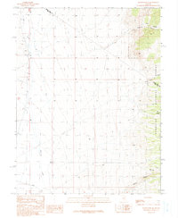
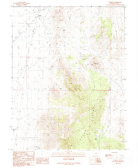
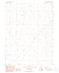
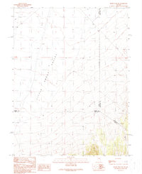
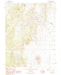
(39)- 1990 Map of Ninemile Peak
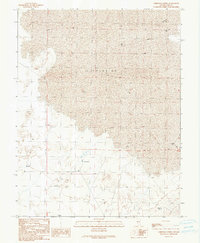
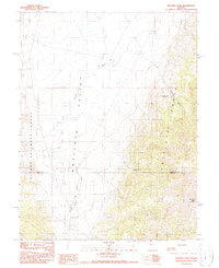 1990 Ninemile Peak1990 Print · USGSEureka and Nye counties meet at the edge of the range in the late twentieth century, showing a remote landscape of mining and high desert water. Trace old mining claims through scattered Prospects or locate water sources like Water Canyon Spring and Mountain Lion Spring.
 - 1990 Map of Bradshaw Spring
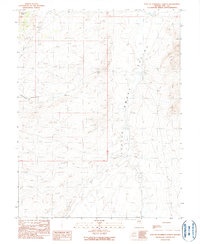
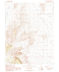 1990 Bradshaw Spring1990 Print · USGSNye County's high desert landscape is captured here during the late eighties, documenting a remote region shaped by sparse water and mineral interests. Researchers can trace the locations of Bradshaw Spring, a solitary Grave, and several high-altitude Prospects.
 - 1990 Map of Troy Canyon
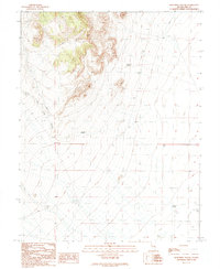
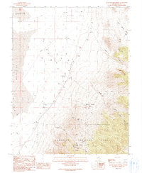
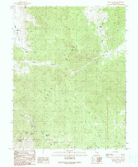
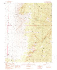 1990 Troy Canyon1990 Print · USGSNye County ranching and prospecting are documented here in the early nineties, centered on the high peaks of the Nevada interior. Researchers can trace land use at Bordoli Ranch or locate historical burial sites at a Cem and Grave near the Troy Canyon mines.
 - 1990 Map of Green Springs SW
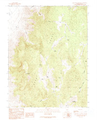
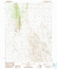 1990 Green Springs SW1990 Print · USGSThe high desert of central Nevada is captured in the late twentieth century as the county line traverses these remote basins and ranges. Researchers can trace the isolated Bull Creek Ranch and follow the natural corridors of Railroad Valley and the Duckwater Hills.
 - 1990 Map of Duckwater NE
 1990 Duckwater NE1990 Print · USGSNye and White Pine counties meet in this high-desert basin during the early 1990s. Researchers and explorers can trace early resource extraction sites like a prospect and Drill Hole, or locate remote water sources including Blackrock Spring.
 - 1990 Map of Savory Mountain
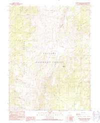 1990 Savory Mountain1990 Print · USGSNye County's high-altitude interior is captured in the late eighties as it appeared within the Toiyabe National Forest. Researchers can trace the rugged drainage patterns of the Monitor Range and locate landmarks like Horse Heaven and Savory Mountain.
 - 1990 Map of Horse Heaven Mountain
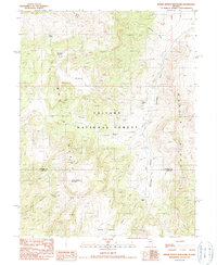 1990 Horse Heaven Mountain1990 Print · USGSThe high ridges of central Nevada are captured here in the late twentieth century, showing a landscape defined by isolated ranching and natural springs. Genealogists and local historians can trace family-named sites like Butler Ranch and Martin Ranch alongside Whiterock Spring.
 - 1990 Map of Wells Station
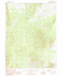 1990 Wells Station1990 Print · USGSNye County, Nevada, is shown here in the late twentieth century as a landscape of high summits and essential springs. Researchers can trace remote routes and historical waypoints like Wells Station, Wells Station Summit, and Albert Spring.
 - 1990 Map of Currant
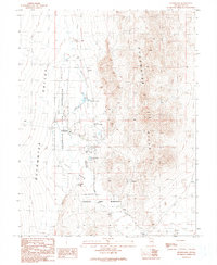
 1990 Currant1990 Print · USGSNye County ranching and mining operations are captured here during the late twentieth century. Researchers can locate remote industrial sites like El Padre Mine alongside humble landmarks such as a solitary Grave and the Blue Eagle Well.
 - 1990 Map of East of Snowball Ranch
 1990 East of Snowball Ranch1990 Print · USGSThe Nye County backcountry during the late twentieth century reveals a rugged landscape of alluvial fans and mountain ranges. Geologists and surveyors can trace drainage patterns and tectonic lines through Little Smoky Valley, Snowball Creek, and the Fish Creek Range.
 - 1990 Map of Meteorite Crater
 1990 Meteorite Crater1990 Print · USGSRemote Nye County terrain comes into focus in the 1990s as this survey documents a high-desert landscape of craters and springs. Trace the geography of Meteorite Crater and Portuguese Mountain alongside vital water sources like Ike Spring and Trap Spring.
 - 1990 Map of Blue Eagle Mountain
 1990 Blue Eagle Mountain1990 Print · USGSThe high country of the Nye County desert comes into focus in this late twentieth-century survey. Trace high-altitude water sources and primitive roads around Blue Eagle Mountain, Log Spring, and Bald Mountain.
 - 1990 Map of Christian Spring
 1990 Christian Spring1990 Print · USGSNye County, Nevada, is captured at a moment of desert exploration and resource mapping in the early nineties. Researchers and desert travelers can trace the routes of 4WD trails leading to remote landmarks like Christian Spring, Flowing Wells, and various exploratory Drill Holes.
 - 1990 Map of Snowball Ranch
 1990 Snowball Ranch1990 Print · USGSNye County ranching and mining efforts are documented here during the late twentieth century. Genealogists and local historians can locate specific family-named landmarks like Snowball Ranch and isolated desert features such as Rock Spring or the Mine Shaft.
 - 1990 Map of Pogues Station
 1990 Pogues Station1990 Print · USGSThe high desert of White Pine and Nye counties comes into focus in this late twentieth-century survey. Trace the location of Pogues Station and isolated water sources like Soda Spring or Nevada Governors Spring across this remote mining and ranching terrain.
 - 1990 Map of Blue Eagle Springs SW
 1990 Blue Eagle Springs SW1990 Print · USGSRailroad Valley in the early nineties was a landscape of stark contrasts between protected wetlands and active energy exploration. Researchers can trace the water levels of The Big Ponds or locate early industrial sites like Oil Well and Gravel Pits.
 - 1990 Map of Blue Eagle Springs NE
 1990 Blue Eagle Springs NE1990 Print · USGSCentral Nevada in the early nineties reveals a landscape of desert industry and vital water sources. Trace historical resource extraction at Munson or locate the specialized Gravel Ridge Well (Flowing) and various Oil Wells.
 - 1990 Map of Bullwhacker Springs
 1990 Bullwhacker Springs1990 Print · USGSNye County's high desert reveals its mining and ranching history in the years before the turn of the millennium. Trace historical mineral exploration through the Terrell Mine and Irwin Mine, or locate vital water sources like Bullwhacker Springs and Willow Springs.
 - 1990 Map of Horse Spring Hills
 1990 Horse Spring Hills1990 Print · USGSThe high Grant Range of Nye County is captured here in the late twentieth century as a wilderness of deep canyons and vital water sources. Researchers can locate remote landmarks like Wiregrass Spring, Timber Mountain, and the winding Scofield Canyon.
 - 1990 Map of Crows Nest
 1990 Crows Nest1990 Print · USGSNye County ranching and mining lands are captured here in the late twentieth century, showing the critical water sources in an arid landscape. Trace the local hydrology through Little Meadows and find old exploration markers like Drill Holes and Ox Spring.
 - 1990 Map of Moody Peak NW
 1990 Moody Peak NW1990 Print · USGSCentral Nevada in the 1990s reveals a sparse high-desert landscape where three counties meet in the Little Smoky Valley. Researchers can trace old 4WD trails and locate remote water sources like a lone Well near the Indefinite Boundary.
 - 1990 Map of Duckwater
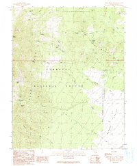
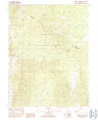
 1990 Duckwater1990 Print · USGSThe Duckwater Indian Reservation is captured here in the early nineties, showing a landscape shaped by natural springs and desert ranching. Researchers can trace local landmarks like the Duckwater Sch, Old Collins Spring, and the Duckwater Cem.
 - 1990 Map of Heath Canyon
 1990 Heath Canyon1990 Print · USGSThe Grant Range in the early nineties remains a remote wilderness defined by steep passes and seasonal springs. Geologists and hikers can trace the high-country paths from Sawmill Pass to Blue Eagle Pass and locate old mountain prospects.
 - 1990 Map of Currant Summit
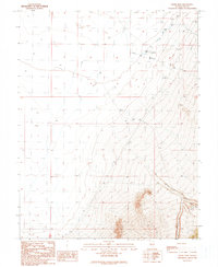
 1990 Currant Summit1990 Print · USGSThe Horse and White Pine ranges meet at the Nye County line during the late twentieth century. Researchers can trace high-altitude water sources like Secret Spring and the location of the Gold Point Mine near Currant Creek.
 - 1990 Map of Bull Fork
 1990 Bull Fork1990 Print · USGSThe high Nevada desert at the Nye and White Pine county line is captured here during a period of late-century topographic revision. Modern explorers and researchers can trace the elevation changes from Duckwater Peak down to Big Louie Spring and the drainage of Bull Fork.
Showing maps 1-25 of 39
Top cities of Nye County
- Pahrump historical maps
- Tonopah historical maps
- Amargosa Valley historical maps
- Beatty historical maps
- Scotty's Junction historical maps
- Reveille historical maps
Frequently asked questions
- What are the different types of historical maps available for Nye County?
- What is the oldest map of Nye County?
- Where can I purchase historical maps of Nye County for my home or office?
- Where can I download high-res historical maps of Nye County?
- Are there historical topographic maps available for Nye County?
- Is there historical aerial imagery available for Nye County?
- Where are historical maps of Nye County sourced from?