1970s Maps of Nye County, Nevada
Explore 55 historic maps of Nye County from the 1970s. These maps offer a rare glimpse into what life looked like during the 1970s — showing old roads, neighborhoods, homes, and landmarks that have changed or disappeared over time.
Whether you're researching your family's past, planning a metal detecting trip, or studying how Nye County's landscape evolved across the 1970s, these high-resolution maps are a powerful tool for exploring the history of this region.
- Focus on a specific era: All maps on this page are from the 1970s, giving you a focused view of this time period.
- See what’s changed: Compare century-old streets, trails, and buildings to today's modern landscape using overlays and satellite layers.
- Research with precision: Use these maps for genealogy, historical research, land use analysis, or educational projects.
- View, download, or print: Maps are fully viewable online in high resolution, and can be downloaded or printed for your own records.
Start exploring Nye County's history through authentic maps from the 1970s. This is your window into the past.
Nye County, NV maps
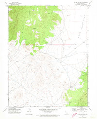
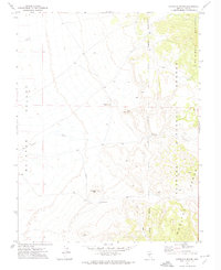
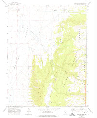
(55)- 1971 Map of Timber Mtn Pass NW, 1973 Print
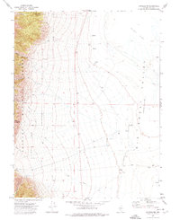
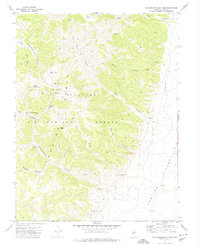
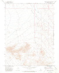 1971 Timber Mtn Pass NW1973 Print · USGSNye County's high desert basins are captured here in the early seventies, detailing the transition between two major valleys. Researchers can trace the seasonal White River through Murphy Meadows and locate a solitary Well on the valley floor.
 - 1971 Map of Timber Mtn Pass NE, 1973 Print
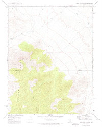
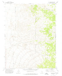
 1971 Timber Mtn Pass NE1973 Print · USGSNye and Lincoln Counties are shown in the early 1970s as a landscape of high-desert basins and isolated water sources. Researchers can trace the drainage of the White River into the White River Sink and locate remote points like Esplin Well.
 - 1971 Map of Cave Valley Well, 1973 Print
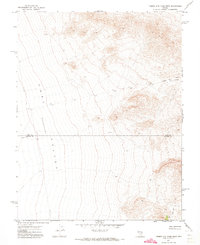
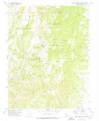
 1971 Cave Valley Well1973 Print · USGSLincoln and Nye Counties in the 1970s are defined by the towering Egan Range and its surrounding desert basins. Trace remote water sources like Cave Valley Well and Trough Spring Canyon or follow the early Jeep Trail networks through the high country.2 unique versions available
 - 1971 Map of Silver King Mtn, 1973 Print
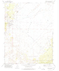
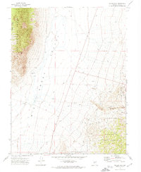
 1971 Silver King Mtn1973 Print · USGSThe Nevada high country of the early 1970s is captured here at the border of Nye and Lincoln Counties. Trace the remote network of Jeep Trails and find mining era remnants like the Prospect situated below Silver King Mountain.3 unique versions available
 - 1971 Map of Silver King Well, 1973 Print
 1971 Silver King Well1973 Print · USGSEastern Nevada's high-desert mining landscape is captured here in the early 1970s, showing the intersection of Lincoln and Nye counties. Genealogists and historians can trace remote life through the Silver King Mine, a solitary Grave, and unnamed Ruins near Silver King Well.3 unique versions available
 - 1971 Map of Timber Mtn Pass East, 1973 Print
 1971 Timber Mtn Pass East1973 Print · USGSThe high desert of the Seaman Range is captured here in the early 1970s, marking the border between Nye and Lincoln counties. Researchers can trace remote Jeep Trails leading to high-elevation Prospects and the prominent Black Cliff.
 - 1971 Map of Timber Mtn Pass West, 1973 Print
 1971 Timber Mtn Pass West1973 Print · USGSThe high desert border between Nye and Lincoln counties comes into focus in the early 1970s, showing a landscape defined by ranching and mineral exploration. Researchers can locate remote Prospects and Corrals along the slopes leading to Timber Mtn Pass.
 - 1971 Map of Belmont East, 1974 Print
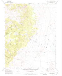
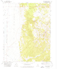
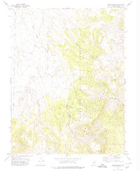
 1971 Belmont East1974 Print · USGSBelmont's mining legacy is recorded here in the early 1970s, showing the industrial infrastructure at the edge of the forest. Researchers can trace the silver boom through the Belmont Shaft, Combination Mill (Ruins), and the lonely markers at Cemetery Hill.
 - 1971 Map of Antelope Spring, 1974 Print
 1971 Antelope Spring1974 Print · USGSHigh desert springs and mountain ranges dominate this part of Nye County in the early seventies. Researchers can trace remote routes like the Jeep Trail and locate landmarks such as Antelope Spring and Mexican Butte.
 - 1971 Map of Corcoran Canyon, 1974 Print
 1971 Corcoran Canyon1974 Print · USGSNye County ranching and wilderness are captured here in the early seventies, where the mountains meet the valley floor. Local historians and explorers can trace the remote Stone House Ranch, the steep Waterfall Canyon, and old routes through Toll Canyon.
 - 1971 Map of Georges Canyon Rim SE, 1974 Print
 1971 Georges Canyon Rim SE1974 Print · USGSNye County's high desert landscape appears in the early seventies as a place of quiet mineral exploration and isolation. Historians can trace the faint tracks of a Jeep Trail leading past a Kiln and an isolated Drill Hole in the valleys.
 - 1971 Map of McIntyre Summit, 1974 Print
 1971 McIntyre Summit1974 Print · USGSNye County, Nevada, is captured here in the early seventies, showing a high-desert terrain centered on the pass at McIntyre Summit. Researchers can trace the primitive Jeep Trail across the floor of Stone Cabin Valley or locate water at Willow Creek.
 - 1971 Map of Carvers NW, 1974 Print
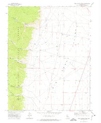
 1971 Carvers NW1974 Print · USGSBig Smoky Valley and the Toiyabe Range meet in this early 1970s survey of Nye County. Researchers can trace the water and ranching history of the basin through features like Turks Ranch, the AQUEDUCT, and several Flowing Wells scattered across the valley floor.
 - 1971 Map of Barley Creek, 1974 Print
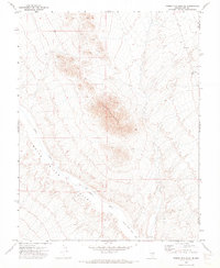
 1971 Barley Creek1974 Print · USGSMonitor Valley was a rugged landscape of ranching and high-altitude wilderness in the early 1970s. Researchers can trace the layout of the Barley Creek Ranch and follow a network of primitive routes like the Pack Trail through Haystack Canyon.2 unique versions available
 - 1971 Map of Carvers, 1974 Print
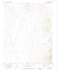
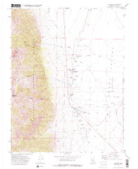 1971 Carvers1974 Print · USGSBig Smoky Valley in the early 1970s was a landscape defined by isolated ranches and thermal springs at the foot of the Toiyabe Range. Researchers can trace early water sources and settlements like Carvers, Darroughs Hot Springs, and Bergs Ranch along the valley floor.2 unique versions available
 - 1971 Map of Elkhorn Canyon, 1974 Print
 1971 Elkhorn Canyon1974 Print · USGSNye County's high desert peaks and canyons are documented here in the early 1970s. Trace the remote network of a Jeep Trail through the Monitor Range past vital water sources like Wattles Creek and springs.
 - 1971 Map of Mosquito Creek, 1974 Print
 1971 Mosquito Creek1974 Print · USGSMonitor Valley and the Toiyabe National Forest are captured here in the early seventies, showing a landscape shaped by water and high-desert ranching. Researchers can locate the Morgan Ranch, identify geothermal features like the Well (Hot), and trace the Pack Trail system across Table Mountain.
 - 1971 Map of Jet Spring, 1974 Print
 1971 Jet Spring1974 Print · USGSNye County's high-elevation terrain is captured in the early seventies, showcasing a landscape of mining and remote springs. Surveyors recorded various prospects and a mine tucked into the Toquima Range near Jet Spring.2 unique versions available
 - 1971 Map of Green Monster Canyon, 1974 Print
 1971 Green Monster Canyon1974 Print · USGSHigh desert wilderness in Nye County was still defined by its remote springs and cattle camps in the early seventies. Trace the tracks of early settlers and ranchers through Wagon Johnnies Ranch, Lees Camp, and the high grazing grounds of Scuffe Pasture.
 - 1971 Map of Seyler Peak, 1974 Print
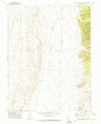
 1971 Seyler Peak1974 Print · USGSNye County's high-desert landscape is captured here in the early 1970s, showing the intersection of the Big Smoky Valley Alkali Flat and the surrounding peaks. Researchers can trace remote water sources like Coyote Hole Spring and the trails leading into Manhattan Gulch.
 - 1971 Map of Dobbin Summit, 1974 Print
 1971 Dobbin Summit1974 Print · USGSThe Monitor Range in Nye County is captured here in the early 1970s, showing a high-altitude landscape of canyons and springs. Trace old routes across the mountains via the Pack Trail and Jeep Trail systems near Dobbin Summit and Black Rock Mtn.
 - 1971 Map of Manhattan, 1974 Print
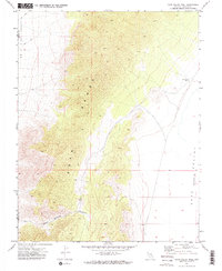
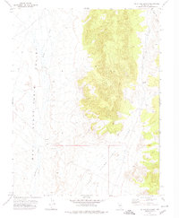
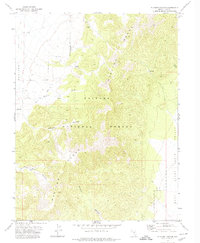
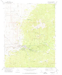 1971 Manhattan1974 Print · USGSSilver and gold mining legacies dominate the Toiyabe Range in the early seventies, centered on the historic town of Manhattan. Researchers can locate specialized sites like the White Caps Mine, the Mount Moriah Cem, and the former locations of North Manhattan (Site).2 unique versions available
 - 1971 Map of Box Spring, 1974 Print
 1971 Box Spring1974 Print · USGSMonitor Valley and the Toiyabe National Forest are captured here in the early 1970s before modern developments altered these remote desert reaches. Researchers can trace the importance of water at Box Spring and follow the rugged path of a Jeep Trail toward Wadsworth Creek.
 - 1971 Map of Pablo Canyon Ranch, 1974 Print
 1971 Pablo Canyon Ranch1974 Print · USGSNye County ranching and mountain terrain are captured here in the early seventies as the desert floor meets the Toiyabe Range. Genealogists and historians can locate the Pablo Canyon Ranch, remote Prospects, and water sources like Boyd Canyon Spring and Jett Dam.
 - 1971 Map of Northumberland Pass, 1974 Print
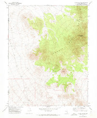
 1971 Northumberland Pass1974 Print · USGSThe Toiyabe Range of central Nevada in the early seventies shows a landscape defined by high-altitude mining and rugged isolation. Researchers can trace the industrial footprint of the Northumberland Mine, locate historical Ruins, and follow old Jeep Trails through Ella May Canyon.
Showing maps 1-25 of 55
Top cities of Nye County
- Pahrump historical maps
- Tonopah historical maps
- Amargosa Valley historical maps
- Beatty historical maps
- Scotty's Junction historical maps
- Reveille historical maps
Frequently asked questions
- What are the different types of historical maps available for Nye County?
- What is the oldest map of Nye County?
- Where can I purchase historical maps of Nye County for my home or office?
- Where can I download high-res historical maps of Nye County?
- Are there historical topographic maps available for Nye County?
- Is there historical aerial imagery available for Nye County?
- Where are historical maps of Nye County sourced from?