2020s Maps of Nye County, Nevada
Explore 282 historic maps of Nye County from the 2020s. These maps offer a rare glimpse into what life looked like during the 2020s — showing old roads, neighborhoods, homes, and landmarks that have changed or disappeared over time.
Whether you're researching your family's past, planning a metal detecting trip, or studying how Nye County's landscape evolved across the 2020s, these high-resolution maps are a powerful tool for exploring the history of this region.
- Focus on a specific era: All maps on this page are from the 2020s, giving you a focused view of this time period.
- See what’s changed: Compare century-old streets, trails, and buildings to today's modern landscape using overlays and satellite layers.
- Research with precision: Use these maps for genealogy, historical research, land use analysis, or educational projects.
- View, download, or print: Maps are fully viewable online in high resolution, and can be downloaded or printed for your own records.
Start exploring Nye County's history through authentic maps from the 2020s. This is your window into the past.
Nye County, NV maps
(282)- 2021 Map of Palisade Mesa, 2021 Print
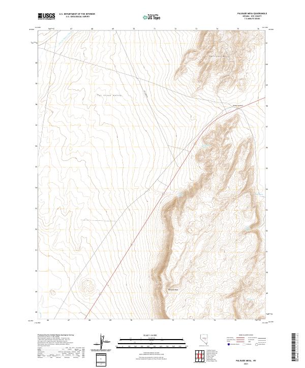 2021 Palisade Mesa2021 Print · USGSNye County’s high desert basins and volcanic mesas appear in sharp detail during the early twenty-first century. Researchers can trace vital water sources like Rattlesnake Springs and Iceberg Spring or navigate the route over Sandy Summit into the Hot Creek Valley.
 - 2021 Map of Reveille SE, 2021 Print
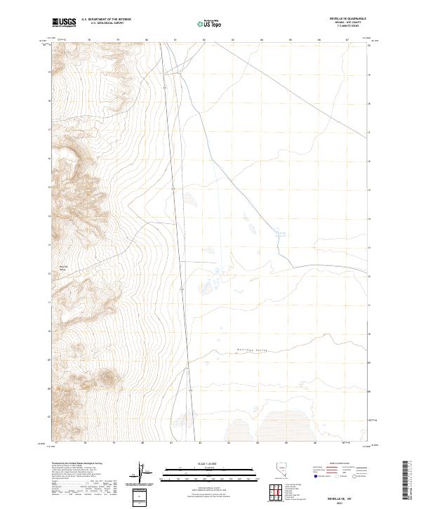 2021 Reveille SE2021 Print · USGSCentral Nevada in the early twenty-first century reveals a landscape defined by dramatic basin-and-range topography. Genealogists and desert researchers can trace the lonely path of State Route 375 as it skirts the Reveille Range near the Eastside Reservoir.
 - 2021 Map of Carvers NW, 2021 Print
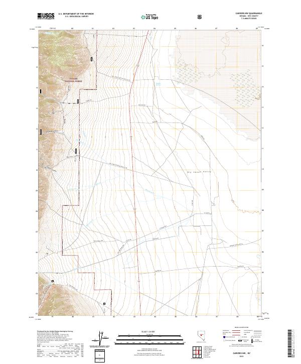 2021 Carvers NW2021 Print · USGSNye County's high desert landscape is mapped here in the early twenty-first century as the mountain peaks descend into the valley. Researchers can trace historic access routes and water sources from Sulphur Springs to the Western States Mine Rd and R O Ranch.
 - 2021 Map of McCann Canyon, 2021 Print
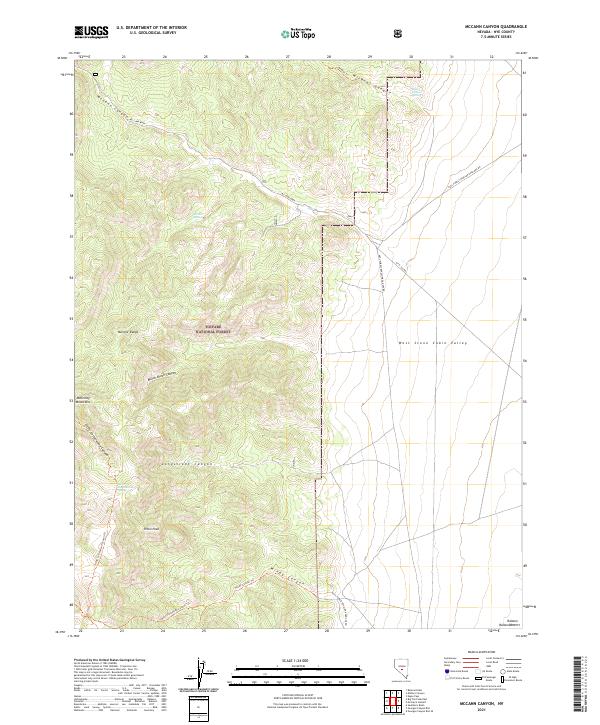 2021 McCann Canyon2021 Print · USGSThe high-desert terrain of Nye County unfolds during the early 2000s, centered on the protected lands of the Toiyabe National Forest. Researchers can locate critical water points like Bernice Spring and trace primitive routes through Bunch Brush Canyon and along Piñon Peak.
 - 2021 Map of Flagstaff Mountain, 2021 Print
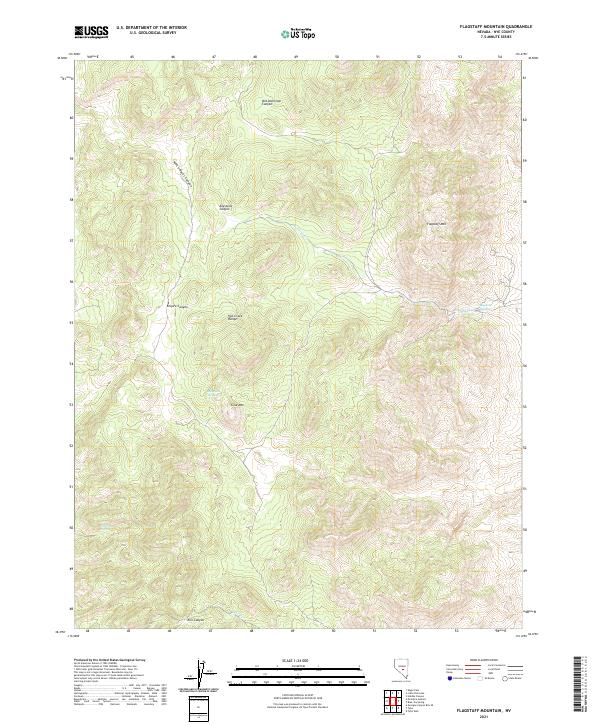 2021 Flagstaff Mountain2021 Print · USGSHigh in the Nye County backcountry during the early twenty-first century, this landscape reveals the isolated terrain of the Hot Creek Range. Researchers can locate name-bearing landmarks like Flagstaff Mtn and remote water sources including Mcintyres Spring and Italian Spring.
 - 2021 Map of Carvers NE, 2021 Print
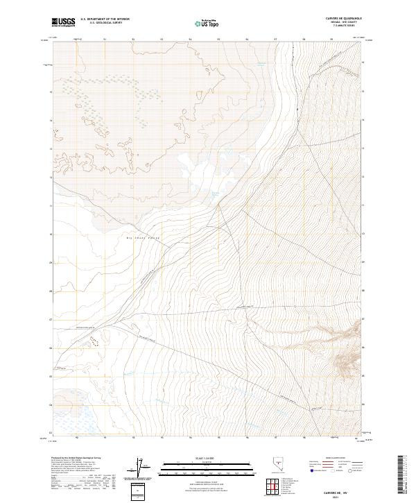 2021 Carvers NE2021 Print · USGSBig Smoky Valley in the early 2020s shows a landscape of remote mining roads and desert springs at the foot of the mountains. Trace the desert access routes along Western States Mine Rd or locate water at Charnock Springs and Big Blue Spring.
 - 2021 Map of Springdale NW, 2021 Print
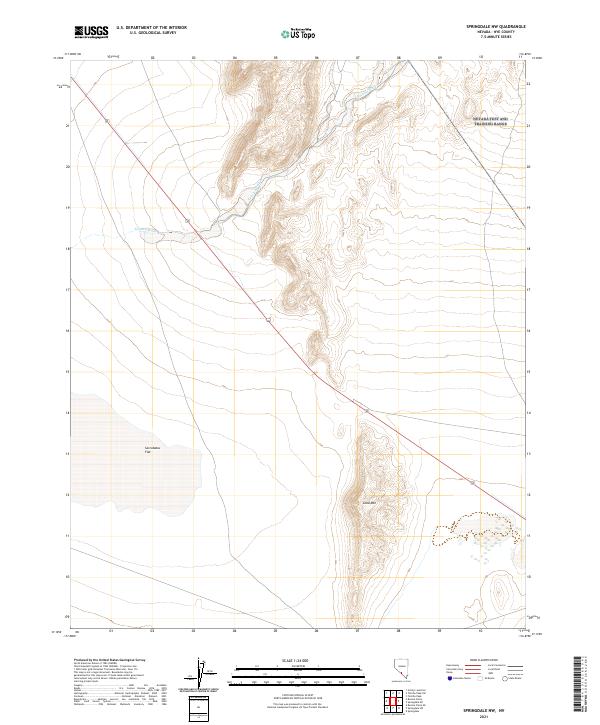 2021 Springdale NW2021 Print · USGSThis part of southern Nevada is captured in the early 2020s, showing the stark intersection of the desert basin and surrounding peaks. Researchers can trace the drainage of Tolicha Wash as it moves toward Sarcobatus Flat near Coba Mtn.
 - 2021 Map of Dobbin Summit, 2021 Print
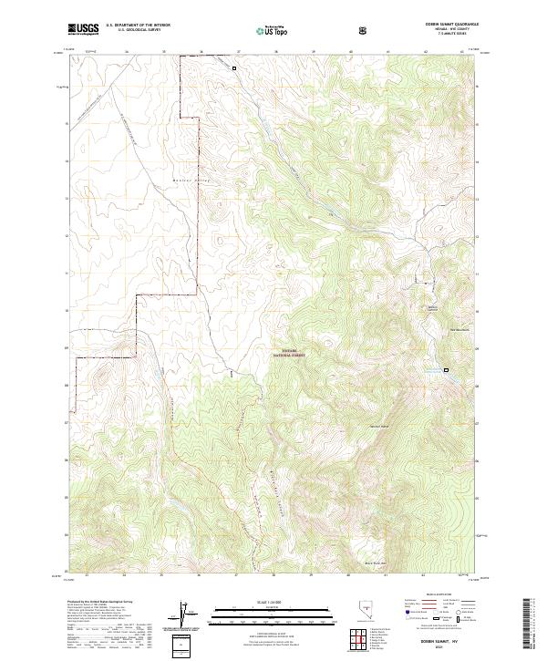 2021 Dobbin Summit2021 Print · USGSThe high-elevation Monitor Range comes into focus during the early twenty-first century, showing a remote landscape of deep canyons and ridgelines. Trace backcountry routes like the Wadsworth Creek Trl and Blackrock Canyon Trl past landmarks such as Black Rock Mtn.
 - 2021 Map of Belmont East, 2021 Print
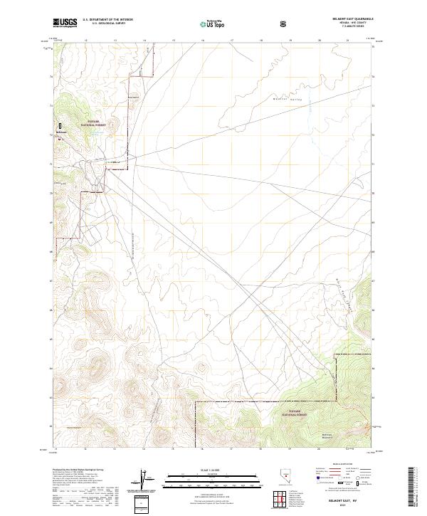 2021 Belmont East2021 Print · USGSThe area surrounding Belmont in the early twenty-first century remains a landscape of high-desert peaks and remote canyons. Researchers can trace the path of the Freight Route Trl and locate local landmarks such as Cemetery Hill and Horse Heaven.
 - 2021 Map of Springdale, 2021 Print
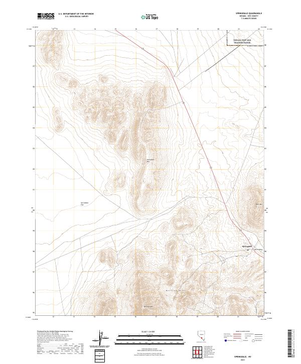 2021 Springdale2021 Print · USGSNye County’s high-desert landscape is documented in this contemporary survey of the area surrounding the Springdale settlement. Researchers can trace the path of Pioneer Rd through the Oasis Valley and locate landmarks like Donovan Mtn.
 - 2021 Map of Corcoran Canyon, 2021 Print
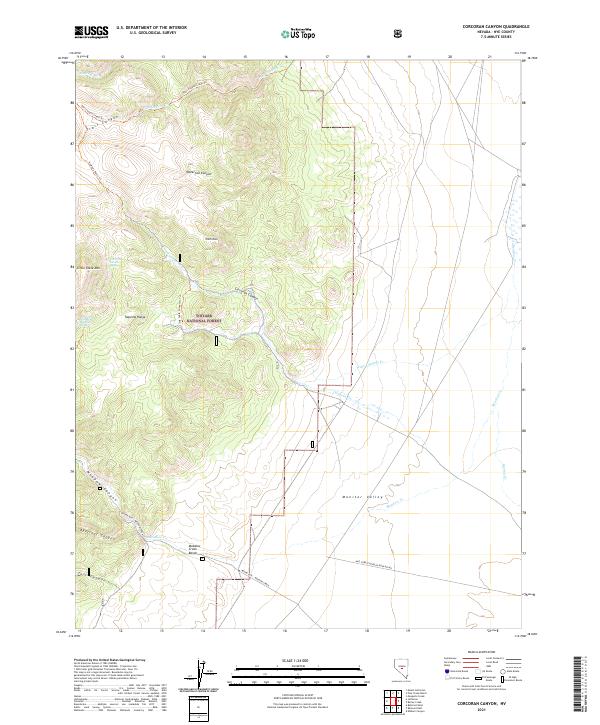 2021 Corcoran Canyon2021 Print · USGSNye County’s high-country terrain and the transition to the valley floor are documented here during the early twenty-first century. Researchers can trace remote water sources like Corcoran Divide Spring and follow trails through Waterfall Canyon or along Meadow Creek.
 - 2021 Map of Mosquito Creek, 2021 Print
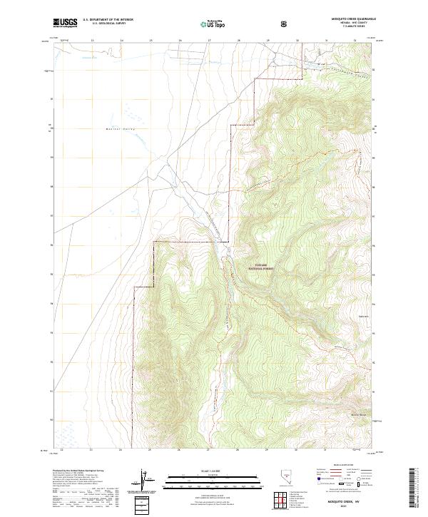 2021 Mosquito Creek2021 Print · USGSThe high-desert terrain of the Monitor Range and Monitor Valley comes into focus in this recent survey of central Nevada. Trace primitive routes and backcountry landmarks such as the North Fork Mosquito Creek Trl and the heights of Table Mtn.
 - 2021 Map of Ellsworth, 2021 Print
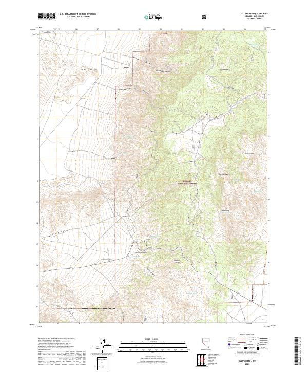 2021 Ellsworth2021 Print · USGSThe Paradise Range in the 2020s remains a landscape of high peaks and vital water sources within the Toiyabe National Forest. Researchers can trace the drainage patterns of Ellsworth Canyon or locate remote landmarks like Fairview Peak and Big Spring.
 - 2021 Map of Barley Creek, 2021 Print
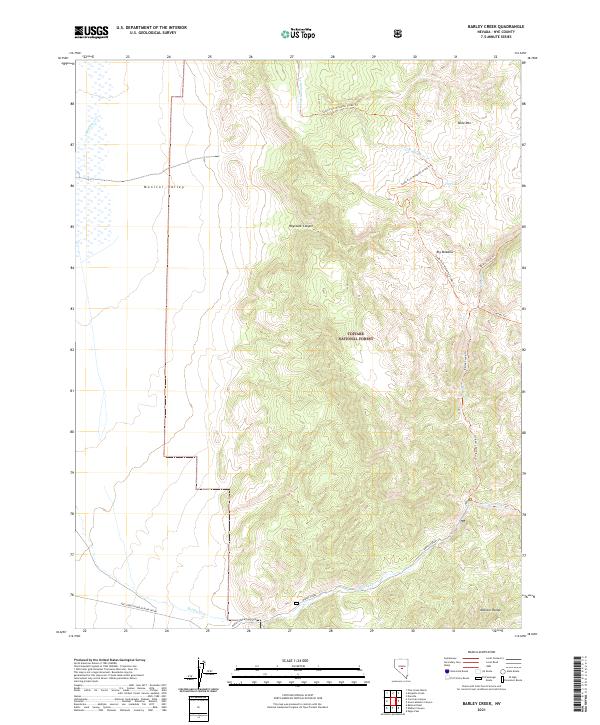 2021 Barley Creek2021 Print · USGSNye County's high-desert wilderness is captured here in the early twenty-first century, showing the remote eastern edge of the Monitor Valley. Trace the primitive routes and water sources that define the region, from Barley Creek Ranch Road to the high elevations of Table Mountain.
 - 2021 Map of Hannapah, 2021 Print
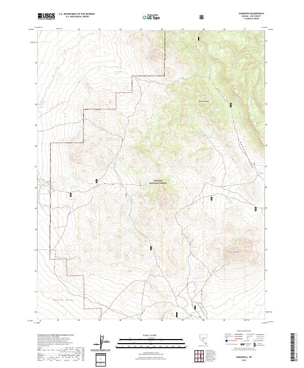 2021 Hannapah2021 Print · USGSCentral Nevada in the early twenty-first century remains a landscape of isolated peaks and vital water sources within the Toiyabe National Forest. Researchers can trace old livestock routes and remote terrain markers like Red Peak, Cedar Corral Spring, and Woodchopper Canyon.
 - 2021 Map of Warm Springs Summit, 2021 Print
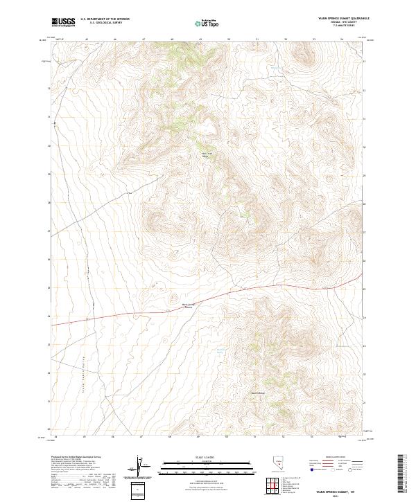 2021 Warm Springs Summit2021 Print · USGSNye County’s high-desert interior remains a land of remote mountain passes and sparse water sources in the early twenty-first century. Researchers can trace the connection between the Hot Creek Range and the Kawich Range while locating vital landmarks like Milk Spring and Warm Springs Summit.
 - 2021 Map of Cole Spring, 2021 Print
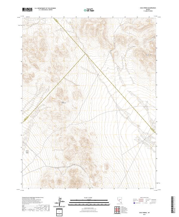 2021 Cole Spring2021 Print · USGSCentral Nevada's high desert reveals its character in the early twenty-first century as three county lines converge near the Cedar Mountains. Researchers can trace the drainage of the Monte Cristo Valley and locate the remote Cole Spring.
 - 2021 Map of Wahguyhe Peak, 2021 Print
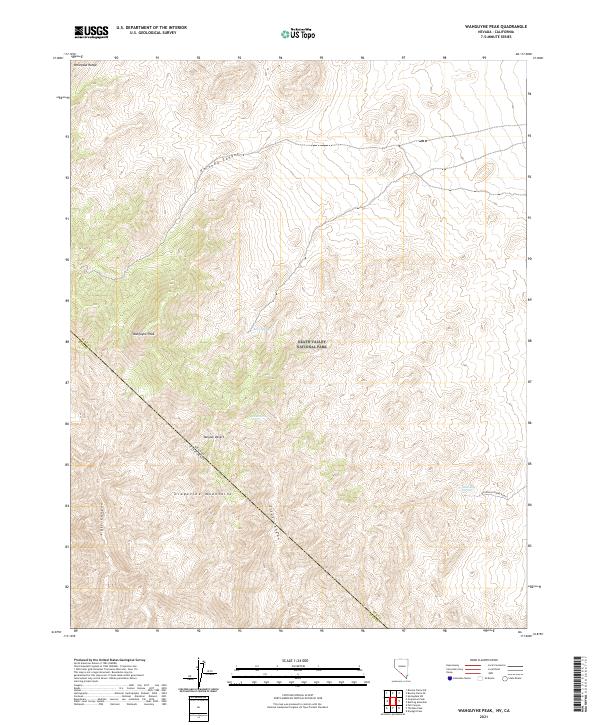 2021 Wahguyhe Peak2021 Print · USGSThe high Grapevine Mountains and Mojave Desert borderlands are captured in this modern survey. Researchers can trace remote desert geography through Wahguyhe Peak, the winding Titus Canyon, and isolated watering holes like McDonald Spring.
 - 2021 Map of Georges Canyon Rim SE, 2021 Print
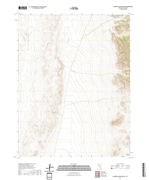 2021 Georges Canyon Rim SE2021 Print · USGSCentral Nevada in the early twenty-first century reveals a landscape of high desert basins and mountain drainages. Researchers can trace the elevation changes from the West Stone Cabin Valley through Kiln Canyon to the Hot Creek Range.
 - 2021 Map of Summit Station, 2021 Print
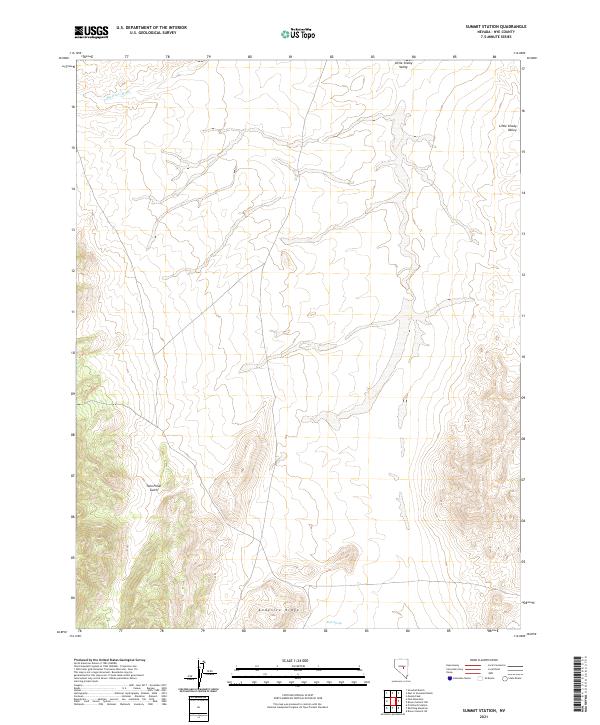 2021 Summit Station2021 Print · USGSThe Nye County backcountry of the early twenty-first century is captured here in detail. Researchers can trace the drainage of Big Fault Wash and locate the important watering hole at Rock Spring near the foot of Andesite Ridge.
 - 2021 Map of McKinney Tanks, 2021 Print
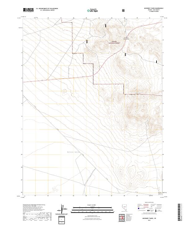 2021 McKinney Tanks2021 Print · USGSHigh desert peaks and federal forest lands meet in Nye County in this 2021 survey of the central Nevada interior. Researchers can trace the descent from Hannapah Peak into the wide Ralston Valley or follow the isolated track of A R 504 across the desert floor.
 - 2021 Map of Stone Cabin Ranch SW, 2021 Print
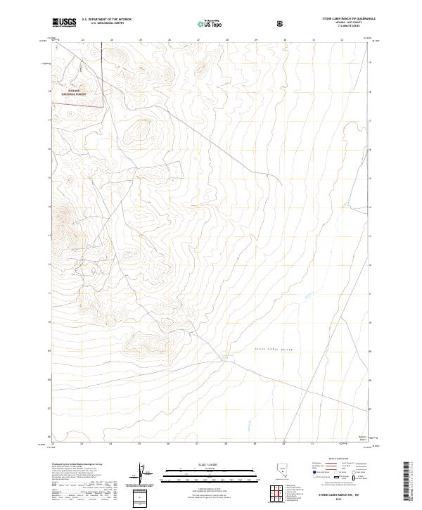 2021 Stone Cabin Ranch SW2021 Print · USGSNye County’s high desert basins and mountain fringes are mapped here in the early twenty-first century. Researchers can trace historic land management boundaries and water-access points like Coyote Hole Spring and the drainage of Willow Cr.
 - 2021 Map of Stone Cabin Ranch SE, 2021 Print
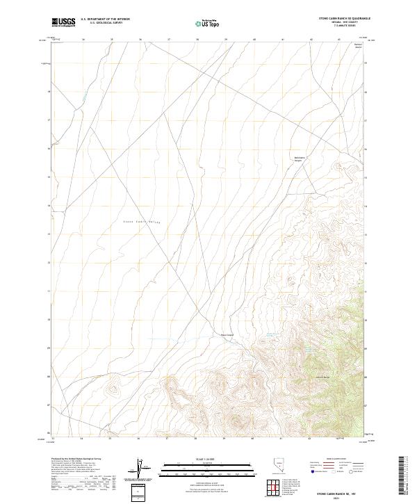 2021 Stone Cabin Ranch SE2021 Print · USGSCentral Nevada's high desert remains largely unchanged in the early twenty-first century. Researchers can locate critical water sources like Haws Canyon Spring and trace the drainage of Willow Cr across the Stone Cabin Valley.
 - 2021 Map of Jefferson, 2021 Print
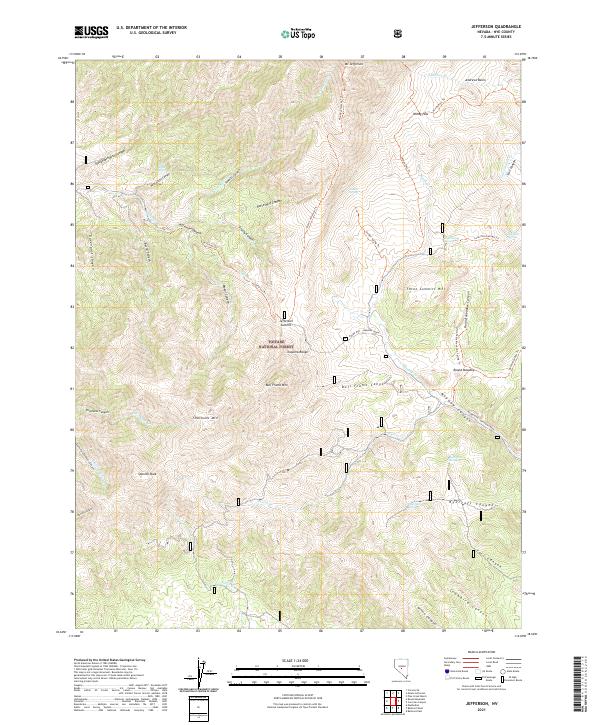 2021 Jefferson2021 Print · USGSNye County's high-altitude wilderness in the Toquima Range is documented here during the early twenty-first century. Genealogists and researchers can trace the old trail networks and water sources that sustained travel through Windy Pass, Jefferson Summit, and Lone Pine Spring.
 - 2021 Map of Little Fish Lake, 2021 Print
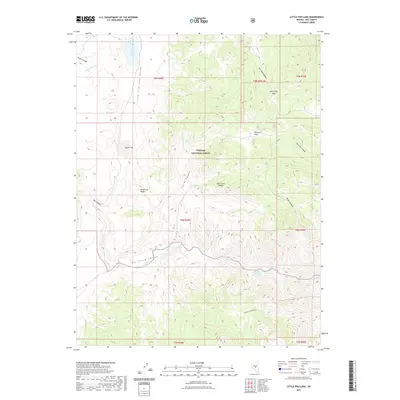 2021 Little Fish Lake2021 Print · USGSNye County's high-desert interior remains a landscape defined by its thermal springs and rugged basins in the modern era. Researchers can trace the ranching history of Little Fish Lake Valley through remote sites like Old Dugan Place-Hot Spring and Dead Cow Ridge.
Showing maps 1-25 of 282
Top cities of Nye County
- Pahrump historical maps
- Tonopah historical maps
- Amargosa Valley historical maps
- Beatty historical maps
- Scotty's Junction historical maps
- Reveille historical maps
Frequently asked questions
- What are the different types of historical maps available for Nye County?
- What is the oldest map of Nye County?
- Where can I purchase historical maps of Nye County for my home or office?
- Where can I download high-res historical maps of Nye County?
- Are there historical topographic maps available for Nye County?
- Is there historical aerial imagery available for Nye County?
- Where are historical maps of Nye County sourced from?