2020s Maps of Coos County, New Hampshire
Explore 104 historic maps of Coos County from the 2020s. These maps offer a rare glimpse into what life looked like during the 2020s — showing old roads, neighborhoods, homes, and landmarks that have changed or disappeared over time.
Whether you're researching your family's past, planning a metal detecting trip, or studying how Coos County's landscape evolved across the 2020s, these high-resolution maps are a powerful tool for exploring the history of this region.
- Focus on a specific era: All maps on this page are from the 2020s, giving you a focused view of this time period.
- See what’s changed: Compare century-old streets, trails, and buildings to today's modern landscape using overlays and satellite layers.
- Research with precision: Use these maps for genealogy, historical research, land use analysis, or educational projects.
- View, download, or print: Maps are fully viewable online in high resolution, and can be downloaded or printed for your own records.
Start exploring Coos County's history through authentic maps from the 2020s. This is your window into the past.
Coos County, NH maps
(104)- 2021 Map of Wilsons Mills, 2021 Print
 2021 Wilsons Mills2021 Print · USGSCovers Coos County, including Magalloway Plantation, Lincoln Plantation, and other nearby areas
 - 2021 Map of Moose Bog, 2021 Print
 2021 Moose Bog2021 Print · USGSCovers Coos County, including Pittsburg, Notre-Dame-des-Bois, and other nearby areas
 - 2021 Map of Rump Mountain, 2021 Print
 2021 Rump Mountain2021 Print · USGSCovers Coos County, including Pittsburg, Parmachenee Township, and other nearby areas
 - 2021 Map of Bosebuck Mountain, 2021 Print
 2021 Bosebuck Mountain2021 Print · USGSCovers Coos County, including Pittsburg, Lynchtown Township, and other nearby areas
 - 2021 Map of Errol, 2021 Print
 2021 Errol2021 Print · USGSCovers Coos County, including Errol, Millsfield, and other nearby areas
 - 2021 Map of Dummer Ponds, 2021 Print
 2021 Dummer Ponds2021 Print · USGSCovers Coos County, including Stark, Dummer, and other nearby areas
 - 2021 Map of Stark, 2021 Print
 2021 Stark2021 Print · USGSCovers Coos County, including Lancaster, Northumberland, and other nearby areas
 - 2021 Map of Bartlett, 2021 Print
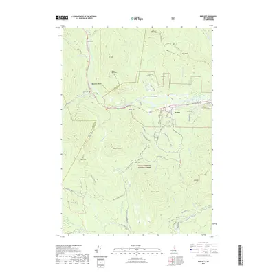 2021 Bartlett2021 Print · USGSCovers Coos County, including Bartlett, Albany, and other nearby areas
 - 2021 Map of Shelburne, 2021 Print
 2021 Shelburne2021 Print · USGSCovers Coos County, including Shelburne, Gilead, and other nearby areas
 - 2021 Map of Bunnell Mountain, 2021 Print
 2021 Bunnell Mountain2021 Print · USGSCovers Coos County, including Colebrook, Stratford, and other nearby areas
 - 2021 Map of West Milan, 2021 Print
 2021 West Milan2021 Print · USGSCovers Coos County, including Berlin, Milan, and other nearby areas
 - 2021 Map of Stratford, 2021 Print
 2021 Stratford2021 Print · USGSCovers Coos County, including Northumberland, Stratford, and other nearby areas
 - 2021 Map of Mount Dartmouth, 2021 Print
 2021 Mount Dartmouth2021 Print · USGSCovers Coos County, including Jefferson, Bethlehem, and other nearby areas
 - 2021 Map of Lovering Mountain, 2021 Print
 2021 Lovering Mountain2021 Print · USGSCovers Coos County, including Colebrook, Stewartstown, and other nearby areas
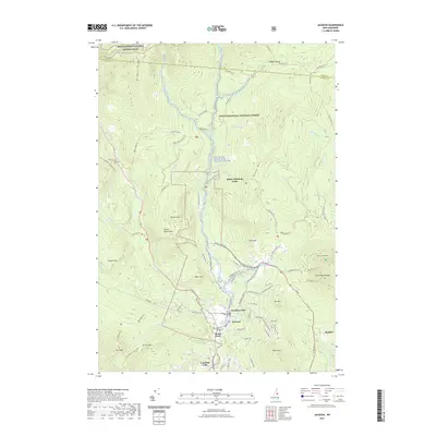
 - 2021 Map of Jefferson, 2021 Print
 2021 Jefferson2021 Print · USGSCovers Coos County, including Berlin, Lancaster, and other nearby areas
 - 2021 Map of Crawford Notch, 2021 Print
 2021 Crawford Notch2021 Print · USGSCovers Coos County, including Lincoln, Bethlehem, and other nearby areas
 - 2021 Map of Carter Dome, 2021 Print
 2021 Carter Dome2021 Print · USGSCovers Coos County, including Gorham, Shelburne, and other nearby areas
 - 2021 Map of Dixville Notch, 2021 Print
 2021 Dixville Notch2021 Print · USGSCovers Coos County, including Colebrook, Columbia, and other nearby areas
 - 2021 Map of Stairs Mountain, 2021 Print
 2021 Stairs Mountain2021 Print · USGSCovers Coos County, including Bartlett, Jackson, and other nearby areas
 - 2021 Map of Tinkerville, 2021 Print
 2021 Tinkerville2021 Print · USGSCovers Coos County, including Stratford, Columbia, and other nearby areas
 - 2021 Map of Berlin, 2021 Print
 2021 Berlin2021 Print · USGSCovers Coos County, including Berlin, Gorham, and other nearby areas
 - 2021 Map of Diamond Pond, 2021 Print
 2021 Diamond Pond2021 Print · USGSCovers Coos County, including Colebrook, Stewartstown, and other nearby areas
 - 2021 Map of Mount Washington, 2021 Print
 2021 Mount Washington2021 Print · USGSCovers Coos County, including Randolph, Bean's Grant, and other nearby areas
 - 2021 Map of Lancaster, 2021 Print
 2021 Lancaster2021 Print · USGSCovers Coos County, including Lancaster, Whitefield, and other nearby areas
 - 2021 Map of Jackson, 2021 Print
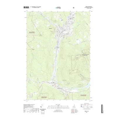
 2021 Jackson2021 Print · USGSCovers Coos County, including Bartlett, Jackson, and other nearby areas
Showing maps 1-25 of 104
Top cities of Coos County
- Berlin historical maps
- Lancaster historical maps
- Gorham historical maps
- Whitefield historical maps
- Northumberland historical maps
- Colebrook historical maps
See more
Frequently asked questions
- What are the different types of historical maps available for Coos County?
- What is the oldest map of Coos County?
- Where can I purchase historical maps of Coos County for my home or office?
- Where can I download high-res historical maps of Coos County?
- Are there historical topographic maps available for Coos County?
- Is there historical aerial imagery available for Coos County?
- Where are historical maps of Coos County sourced from?