2010s Maps of Coos County, New Hampshire
Explore 156 historic maps of Coos County from the 2010s. These maps offer a rare glimpse into what life looked like during the 2010s — showing old roads, neighborhoods, homes, and landmarks that have changed or disappeared over time.
Whether you're researching your family's past, planning a metal detecting trip, or studying how Coos County's landscape evolved across the 2010s, these high-resolution maps are a powerful tool for exploring the history of this region.
- Focus on a specific era: All maps on this page are from the 2010s, giving you a focused view of this time period.
- See what’s changed: Compare century-old streets, trails, and buildings to today's modern landscape using overlays and satellite layers.
- Research with precision: Use these maps for genealogy, historical research, land use analysis, or educational projects.
- View, download, or print: Maps are fully viewable online in high resolution, and can be downloaded or printed for your own records.
Start exploring Coos County's history through authentic maps from the 2010s. This is your window into the past.
Coos County, NH maps
(156)- 2011 Map of Bosebuck Mountain, 2011 Print
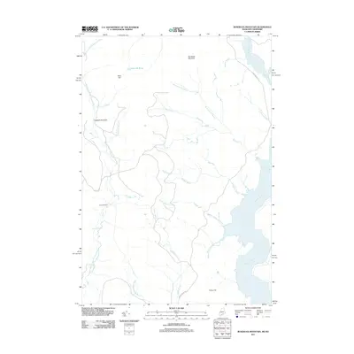 2011 Bosebuck Mountain2011 Print · USGSThe northern New Hampshire wilderness is charted here just as it appeared in the early 21st century. Researchers can trace the remote network of logging roads and water features like Camp Number 7, Garfield Falls, and the high peak of Bosebuck Mountain.
 - 2011 Map of Rump Mountain, 2011 Print
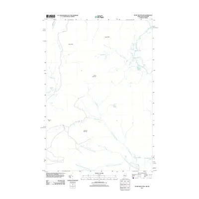 2011 Rump Mountain2011 Print · USGSThe northern wilderness of Coos County and the Maine border are documented here in the early twenty-first century. Researchers can trace the remote headwaters of the Magalloway River and identify landmarks like Rump Mountain and Parmachenee Lake.
 - 2011 Map of Moose Bog, 2011 Print
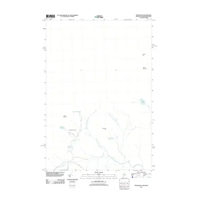 2011 Moose Bog2011 Print · USGSThe northern wilderness along the Maine and New Hampshire border is captured here during a time of modern forest management. Map enthusiasts can trace remote water systems like West Branch Magalloway River and identify high peaks such as Mount D'Urban and Saddle Hill.
 - 2011 Map of Wilsons Mills, 2011 Print
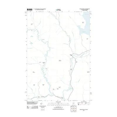 2011 Wilsons Mills2011 Print · USGSMagalloway Plantation remains a corner of Oxford County where the forest meets the river in the early twenty-first century. Researchers can trace the legacy of the local river-and-road network through Wilsons Mills, the Wilsons Mills Post Office, and the Bennett Bridge.
 - 2012 Map of Maidstone Lake, 2012 Print
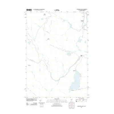 2012 Maidstone Lake2012 Print · USGSVermont's northeastern highlands and the Connecticut River border come into focus in the early twenty-first century. Researchers can trace the legacy of remote settlements and recreation sites from Brunswick Springs and Browns Mill to the shores of Maidstone Lake.
 - 2012 Map of Miles Pond, 2012 Print
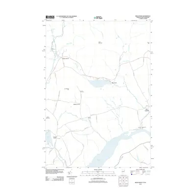 2012 Miles Pond2012 Print · USGSThe Vermont and New Hampshire borderlands are captured here in the early twenty-first century, showing the enduring rural layout of the upper Connecticut River valley. Researchers can trace family history through sites like Frye Cem and settlements such as Ralston Corner or North Concord.
 - 2012 Map of Lake Francis, 2012 Print
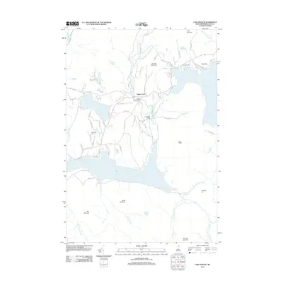 2012 Lake Francis2012 Print · USGSUpper Coos County is shown in detail during the early 2000s, centered on the significant waters of the Connecticut River and Lake Francis. Researchers can trace old timber roads and find specific local landmarks like Happy Corner or the crossing at River Road Bridge.
 - 2012 Map of Magalloway Mountain, 2012 Print
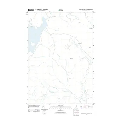 2012 Magalloway Mountain2012 Print · USGSUpper Coos County near the Canadian and Maine borders remains a vast timberland where the Connecticut River begins. Trace the remote logging culture and hydrology of the North Woods via Camp Otter, Magalloway Mountain, and Judds Ponds.
 - 2012 Map of Dixville Notch, 2012 Print
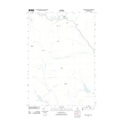 2012 Dixville Notch2012 Print · USGSDixville Notch and the surrounding Coos County high country are captured here a decade into the new millennium. Researchers can trace the layout of the Balsams-Wilderness Ski Area and locate distinctive landmarks like Table Rock, Lake Gloriette, and the Devils Washbowl.
 - 2012 Map of Milan, 2012 Print
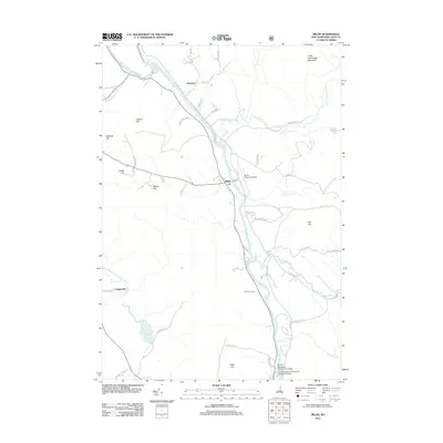 2012 Milan2012 Print · USGSCoos County at the start of the 2010s shows a landscape of river-valley industry and upland ridges along the Androscoggin River. Genealogists and locals can trace landmarks from the Berlin Regional Airport to the Berlin Ski Jump and the Milan post office.
 - 2012 Map of Groveton, 2012 Print
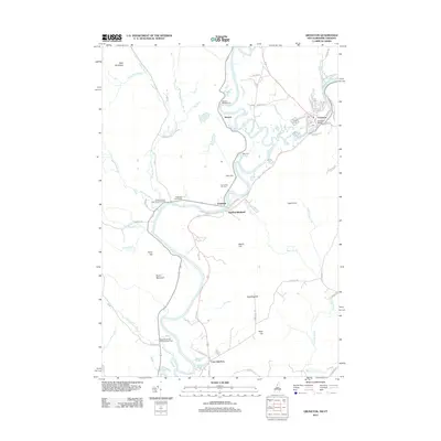 2012 Groveton2012 Print · USGSThe Connecticut River valley at the New Hampshire-Vermont border shows its late-twentieth-century development around Groveton and Guildhall. Researchers can trace local lineage through numerous sites like Court House Hill Cem, Rich Cem, and the rail crossing at Coos Junction.
 - 2012 Map of Crawford Notch, 2012 Print
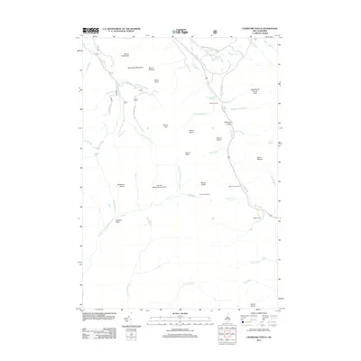 2012 Crawford Notch2012 Print · USGSGrafton County's high mountain passes are recorded here in the early twenty-first century, showing the enduring geography of the White Mountains. Researchers can locate historic lodging sites like Crawford House and landmarks such as Willey House or Arethusa Falls.
 - 2012 Map of Mount Washington, 2012 Print
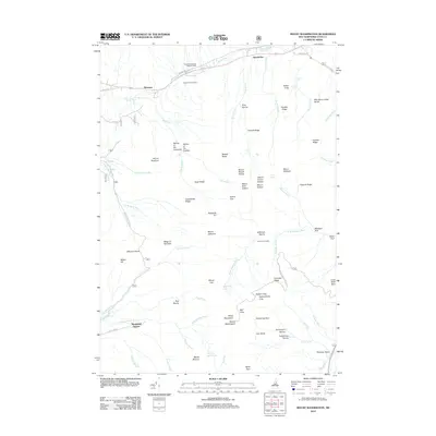 2012 Mount Washington2012 Print · USGSThe Presidential Range reaches its zenith in this 2012 survey of the highest peaks in the Northeast. Researchers can trace the early tourism and transport infrastructure around Marshfield Station, Pinkham Notch, and the Mount Washington summit.
 - 2012 Map of Mount Pisgah, 2012 Print
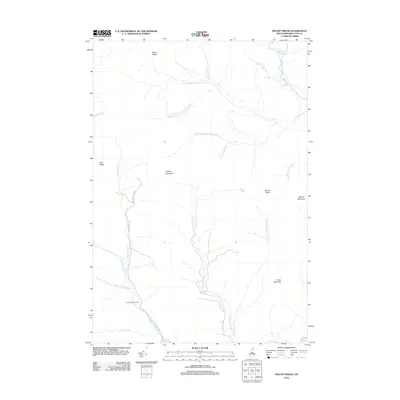 2012 Mount Pisgah2012 Print · USGSThe northern Coos County wilderness comes into focus in this modern survey of the Diamond River headwaters. Trace the remote drainage systems of the Swift Diamond River and find landmarks like Swift Diamond Farm and Crystal Mountain amidst the timberlands.
 - 2012 Map of Errol, 2012 Print
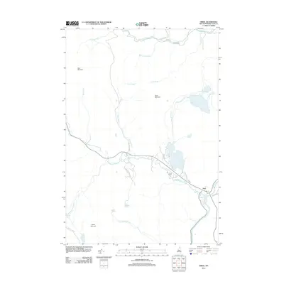 2012 Errol2012 Print · USGSThe northern New Hampshire town of Errol and its river-bound landscape are documented here in the early twenty-first century. Genealogists and researchers can trace the reach of the Androscoggin River or locate landmarks like Palmers Cabin and Akers Pond.
 - 2012 Map of Tinkerville, 2012 Print
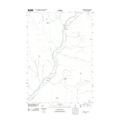 2012 Tinkerville2012 Print · USGSUpper Connecticut River Valley life is captured here in the early twenty-first century, showing the small riverside communities along the Vermont border. Researchers can trace local heritage through numerous family cemeteries like Healey Cem or locate remote sites such as Camp Number 6.
 - 2012 Map of Bunnell Mountain, 2012 Print
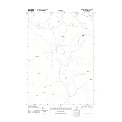 2012 Bunnell Mountain2012 Print · USGSCoos County in the early twenty-first century remains a landscape of high peaks and secluded notches. Genealogists and hikers can trace old family names at Cilley Hill or explore the drainage of Simms Stream near the settlement of Bungy.
 - 2012 Map of Stark, 2012 Print
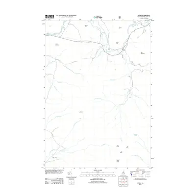 2012 Stark2012 Print · USGSNorthern New Hampshire's river valleys and granite peaks are shown here in the early twenty-first century. Genealogists and hikers can trace the remote reaches of Lost Nation or locate the historic Stark Bridge along the Upper Ammonoosuc River.
 - 2012 Map of Jackson, 2012 Print
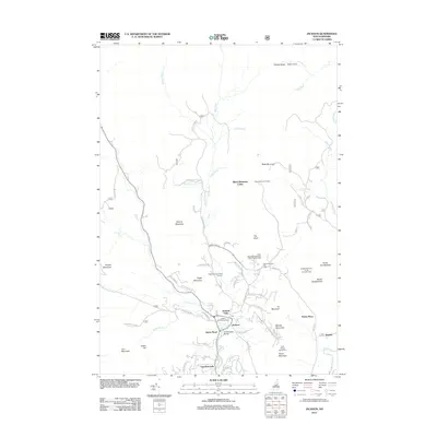 2012 Jackson2012 Print · USGSJackson and the White Mountains are shown here as they appeared in the early 21st century, centered on the confluence of the Ellis River and Wildcat Brook. Genealogists and local historians can trace family locations and land use through labels like the Panno Place, Goodrich Falls, and the iconic Honeymoon Bridge.
 - 2012 Map of Success Pond, 2012 Print
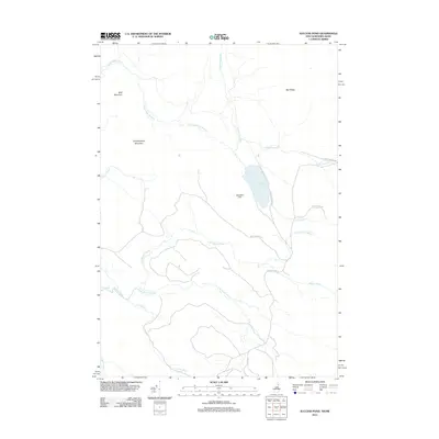 2012 Success Pond2012 Print · USGSThe backcountry of Coos County is documented here in the early twenty-first century, showing the remote high-ground north of Berlin. Researchers can trace the drainage of Chickwolnepy Stream and locate local landmarks like Success Pond and Bald Mountain.
 - 2012 Map of Carter Dome, 2012 Print
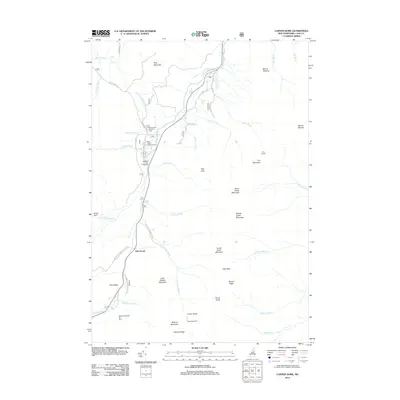 2012 Carter Dome2012 Print · USGSThe White Mountains' high peaks and recreation areas are charted here in the early twenty-first century. Researchers and hikers can trace trails to Carter Notch Hut, locate the historic Dolly Copp Campground, and study the drainage of the Peabody River.
 - 2012 Map of Diamond Pond, 2012 Print
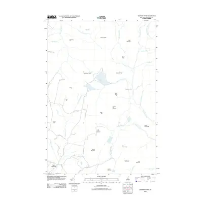 2012 Diamond Pond2012 Print · USGSUpper Kidderville and the surrounding highlands of Coos County are captured here just after the turn of the millennium. Local historians can trace the remote network of Felton Camp, Old Ramsay Camp, and the waters of Diamond Pond.
 - 2012 Map of Percy Peaks, 2012 Print
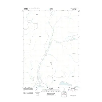 2012 Percy Peaks2012 Print · USGSCoos County's high-country terrain and mountain ponds are documented here in the early twenty-first century. Researchers can trace the drainage of Nash Stream and locate remote landmarks like North Percy Peak, Christine Lake, and Potters Ledge.
 - 2012 Map of Teakettle Ridge, 2012 Print
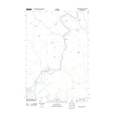 2012 Teakettle Ridge2012 Print · USGSThe North Country of New Hampshire is shown here during the early twenty-first century as the Androscoggin River winds past high timber ridges. Researchers can trace land features like Seven Islands, the Mollidgewock Campground, and the remote Pontook Reservoir.
 - 2012 Map of Metallak Mountain, 2012 Print
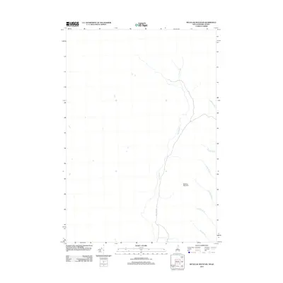 2012 Metallak Mountain2012 Print · USGSNear the northern border of New Hampshire in the early 2010s, this area of Coos County is defined by its watercourses and high points. Researchers can trace the path of Halls Stream alongside Hall Stream Rd or locate Metallak Mountain.
Showing maps 1-25 of 156
Top cities of Coos County
- Berlin historical maps
- Lancaster historical maps
- Gorham historical maps
- Whitefield historical maps
- Northumberland historical maps
- Colebrook historical maps
See more
Frequently asked questions
- What are the different types of historical maps available for Coos County?
- What is the oldest map of Coos County?
- Where can I purchase historical maps of Coos County for my home or office?
- Where can I download high-res historical maps of Coos County?
- Are there historical topographic maps available for Coos County?
- Is there historical aerial imagery available for Coos County?
- Where are historical maps of Coos County sourced from?