1960s Maps of Luna County, New Mexico
Explore 47 historic maps of Luna County from the 1960s. These maps offer a rare glimpse into what life looked like during the 1960s — showing old roads, neighborhoods, homes, and landmarks that have changed or disappeared over time.
Whether you're researching your family's past, planning a metal detecting trip, or studying how Luna County's landscape evolved across the 1960s, these high-resolution maps are a powerful tool for exploring the history of this region.
- Focus on a specific era: All maps on this page are from the 1960s, giving you a focused view of this time period.
- See what’s changed: Compare century-old streets, trails, and buildings to today's modern landscape using overlays and satellite layers.
- Research with precision: Use these maps for genealogy, historical research, land use analysis, or educational projects.
- View, download, or print: Maps are fully viewable online in high resolution, and can be downloaded or printed for your own records.
Start exploring Luna County's history through authentic maps from the 1960s. This is your window into the past.
Luna County, NM maps
(47)- 1961 Map of Douglas
 1961 Douglas1961 Print · USGSThe Arizona-Mexico borderlands come into focus at mid-century, detailing the vital mining and ranching hubs of Cochise County and southwest New Mexico. Genealogists and historians can trace the Southern Pacific Railroad through Bisbee and Douglas, or locate early sites like the Old Hachita Mine and Rucker School.
 - 1961 Map of Nutt, 1964 Print
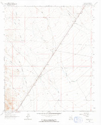
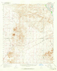 1961 Nutt1964 Print · USGSThe high desert at the meeting of Sierra, Dona Ana, and Luna counties is captured here in the early sixties as the rail-and-ranch economy shaped the landscape. Trace family history at North Cem or Duncan Ranch, and follow the old Atchison Topeka and Santa Fe line past Nutt.2 unique versions available
 - 1962 Map of Silver City
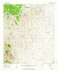
 1962 Silver City1962 Print · USGSThe high desert borderlands of New Mexico and Arizona come alive in this early sixties survey. Genealogists and historians can trace the mining economy through the Chino Mine, follow the rail routes of the Southern Pacific, or locate settlements like Virden and Bayard.
 - 1962 Map of Lake Valley, 1964 Print
 1962 Lake Valley1964 Print · USGSSierra County's mining and ranching history comes alive in this early 1960s survey of the high-desert country. Trace the Old Railroad Grade leading to the famous Bridal Chamber Mine and locate family outposts like the Rooth Ranch and DeMuth Ranch.2 unique versions available
 - 1963 Map of Gage SW, 1965 Print
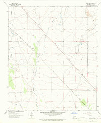
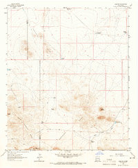 1963 Gage SW1965 Print · USGSSouthwestern Luna County was defined by its high-altitude ranching and water infrastructure during the early sixties. Genealogists and historians can trace the Continental Divide as it crosses the Home Ranch and locate remote landmarks like the Honeymoon Windmill and Turkey Knob.2 unique versions available
 - 1963 Map of Antelope Hill, 1965 Print
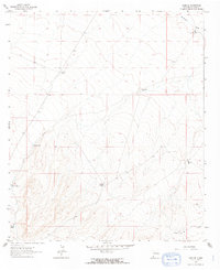
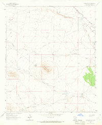 1963 Antelope Hill1965 Print · USGSArid Luna County ranch lands are captured here in the early sixties, showing the critical water network of the high desert. Genealogists and historians can trace the historic Butterfield Trail and locate family landmarks like the Jones Spring Ranch and Bar O Ranch.2 unique versions available
 - 1963 Map of Cow Springs Mountain, 1966 Print
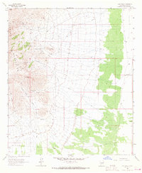
 1963 Cow Springs Mountain1966 Print · USGSThe high desert of Luna and Grant Counties comes into focus in the early 1960s, showing the intersection of ranching life and western transit. Researchers can trace the historic Butterfield Trail and locate family landmarks like the Dave Smith Windmill or Trinity Ranch.2 unique versions available
 - 1963 Map of Gage NW, 1966 Print
 1963 Gage NW1966 Print · USGSSouthwestern New Mexico's high desert reveals its ranching and rail infrastructure in the early sixties as the Continental Divide crosses the landscape. Genealogists and historians can locate old cattle outposts like Parker Ranch and remote rail sidings at Wilna.2 unique versions available
 - 1963 Map of Gage, 1966 Print
 1963 Gage1966 Print · USGSSouthwestern New Mexico ranchlands come into focus in the early sixties as the railroad and highway corridors traverse the desert. Genealogists and historians can trace family-named landmarks like Earp Ranch, Airington Windmill, and the Victorio Mountains.2 unique versions available
 - 1963 Map of Grandmother Mountain West, 1966 Print
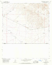
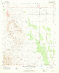
 1963 Grandmother Mountain West1966 Print · USGSLuna and Grant Counties are captured in the early sixties as ranching operations managed the arid high desert along the Continental Divide. Trace family-named landmarks like Turner Windmill and Sibley Windmill near the base of Grandmother Mountain.
 - 1963 Map of Gage SE, 1966 Print
 1963 Gage SE1966 Print · USGSArid Luna County ranchlands are revealed in this early 1960s survey of the high desert. Genealogists and historians can trace the vital network of local water sources, from family-named landmarks like Klondike Windmill to the Lookout Tank and Terry Tank.2 unique versions available
 - 1964 Map of El Paso
 1964 El Paso1964 Print · USGSThe El Paso and Juarez borderlands are shown in detail during the mid-sixties, from the urban center to the remote volcanic craters of the West Potrillo Mountains. Trace the rail-and-river network through Asarco Smeltertown, the Fort Bliss Military Reservation, and Columbus.
 - 1964 Map of Douglas
 1964 Douglas1964 Print · USGSThe Arizona-New Mexico borderlands in the early sixties reveal a landscape of deep-rooted copper mining and high-desert ranching. Genealogists and researchers can trace the legacy of settlements like Pirtleville, the industrial site of the Copper Smelter, and remnants of the Cochise Mines.
 - 1964 Map of Grandmother Mountain East, 1966 Print
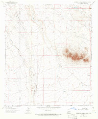
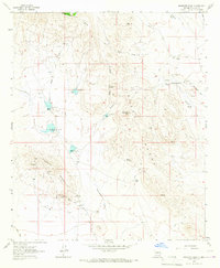
 1964 Grandmother Mountain East1966 Print · USGSHigh-desert ranching in Luna County comes to life in the mid-1960s, showing a landscape defined by water and wind. Genealogists can locate family landmarks like Benedict Ranch or trace the geography around Clabber Top Hill and Grandmother Mountain.2 unique versions available
 - 1964 Map of Gym Peak, 1967 Print
 1964 Gym Peak1967 Print · USGSThe high desert of Luna County is mapped here in the mid-1960s, showing a rugged terrain where mining and water rights defined the landscape. Researchers can trace historic mineral claims at the Florida Peak Mine and Mahoney Mines or locate remote water sources like English Well.2 unique versions available
 - 1964 Map of Hat Top Mountain, 1967 Print
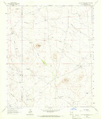
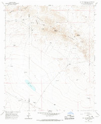 1964 Hat Top Mountain1967 Print · USGSHigh desert ranching and mining history meet along the Continental Divide during the mid-sixties. Researchers can trace the path of the Old Railroad Grade and locate remote landmarks like Faulkner Ranch and the Lucky Mine.
 - 1964 Map of Goat Ridge, 1967 Print
 1964 Goat Ridge1967 Print · USGSLuna County ranching and the historic overland mail route define this high desert landscape during the mid-1960s. Researchers can trace the path of the Butterfield Trail past vital water stops like Butterfield Well and Wilson Reservoir.2 unique versions available
 - 1964 Map of Florida, 1967 Print
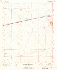
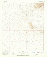
 1964 Florida1967 Print · USGSNew Mexico's high desert reveals its transit history in the mid-1960s as ranching and rail infrastructure dominate the landscape. Trace the legendary Butterfield Trail and locate family landmarks like Miller Windmill or the small siding at Florida.
 - 1964 Map of Victorio Ranch SE, 1967 Print
 1964 Victorio Ranch SE1967 Print · USGSThe international boundary between New Mexico and Mexico serves as the backdrop for this ranching landscape in the mid-1960s. Researchers can trace historical land use through the Old Railroad Grade, a remote Mine, and family-named water sources like Wamels Lower Well.
 - 1964 Map of Hermanas, 1967 Print
 1964 Hermanas1967 Print · USGSThe New Mexico borderlands in the mid-1960s were a landscape of remote ranching and mining hubs along the Chihuahua frontier. Local history researchers can trace the old transportation networks and water sources that sustained this area, from the Old Railroad Grade to the Calumet Mine and Schoolhouse Windmill.
 - 1964 Map of Spalding, 1967 Print
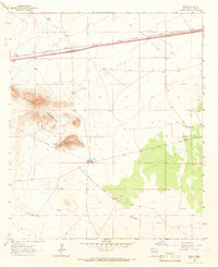
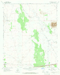
 1964 Spalding1967 Print · USGSLuna County's high desert terrain is captured here in the mid-1960s, showing the historic Butterfield Trail and the railroad settlement at Spalding. Trace the path of the Mimbres River and family-named landmarks like Gerrell Windmill.
 - 1964 Map of Deming West, 1967 Print
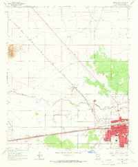 1964 Deming West1967 Print · USGSDeming stood as a bustling rail and desert hub in the 1960s, marked by the intersection of two major transcontinental railroads. Researchers can trace the town's mid-century growth through local landmarks like Holy Cross Cem, the Concentrating Plant at Peruhill, and Mimbres Mem Hospital.
 - 1964 Map of Massacre Peak, 1967 Print
 1964 Massacre Peak1967 Print · USGSFrontier history and mining legacies converge in this mid-1960s survey of the New Mexico desert. Historians can trace the BUTTERFIELD TRAIL to the Fort Cummings (Historical) Ruins or locate mines like the Greenleaf Mine and Saddle Mine.2 unique versions available
 - 1964 Map of Florida Gap, 1967 Print
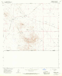
 1964 Florida Gap1967 Print · USGSThe high desert of southern New Mexico comes into focus during the mid-sixties, capturing the rugged intersection of mining and ranching life. Genealogists and historians can trace family-named sites like Lewis Cem, Nunn Ranch, and the community hub at Lewis Flats Sch.2 unique versions available
 - 1964 Map of Williams Ranch, 1967 Print
 1964 Williams Ranch1967 Print · USGSLuna County ranching and rail infrastructure are captured in the mid-1960s as the high-desert landscape relied on the seasonal Mimbres River. Researchers can trace the path of the Southern Pacific railroad or locate water sources like Williams Ranch, North Windmill, and the Wamel Canal.2 unique versions available
Showing maps 1-25 of 47
Top cities of Luna County
Frequently asked questions
- What are the different types of historical maps available for Luna County?
- What is the oldest map of Luna County?
- Where can I purchase historical maps of Luna County for my home or office?
- Where can I download high-res historical maps of Luna County?
- Are there historical topographic maps available for Luna County?
- Is there historical aerial imagery available for Luna County?
- Where are historical maps of Luna County sourced from?