2020s Maps of Luna County, New Mexico
Explore 112 historic maps of Luna County from the 2020s. These maps offer a rare glimpse into what life looked like during the 2020s — showing old roads, neighborhoods, homes, and landmarks that have changed or disappeared over time.
Whether you're researching your family's past, planning a metal detecting trip, or studying how Luna County's landscape evolved across the 2020s, these high-resolution maps are a powerful tool for exploring the history of this region.
- Focus on a specific era: All maps on this page are from the 2020s, giving you a focused view of this time period.
- See what’s changed: Compare century-old streets, trails, and buildings to today's modern landscape using overlays and satellite layers.
- Research with precision: Use these maps for genealogy, historical research, land use analysis, or educational projects.
- View, download, or print: Maps are fully viewable online in high resolution, and can be downloaded or printed for your own records.
Start exploring Luna County's history through authentic maps from the 2020s. This is your window into the past.
Luna County, NM maps
(112)- 2020 Map of Columbus NE, 2020 Print
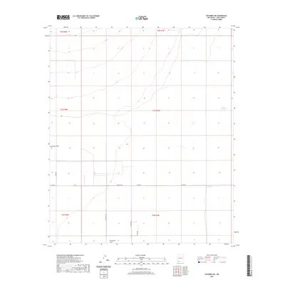 2020 Columbus NE2020 Print · USGSThe Chihuahuan Desert of Luna County is captured here in the recent era, revealing a landscape shaped by drainage and ranching. Trace the path of Seventysix Draw or locate remote water points like Buena Vista Tank and Oney Tank.
 - 2020 Map of Columbus SE, 2020 Print
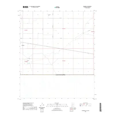 2020 Columbus SE2020 Print · USGSThe international border near Columbus is captured here in the modern era, showing the intersection of ranching life and geography. Researchers can trace land tracts through township markers like T28S R7W or locate landmarks such as Black Hill and Stiles Reservoir.
 - 2020 Map of Victorio Ranch, 2020 Print
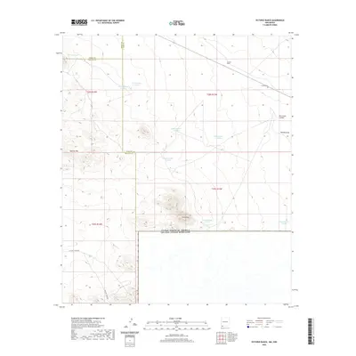 2020 Victorio Ranch2020 Print · USGSThis southwestern New Mexico borderland in 2020 shows a vast ranching landscape defined by the Sierra Rica and Apache Hills. Researchers can trace the layout of the Victorio Ranch, its nearby Victorio Cem, and a network of desert water tanks.
 - 2020 Map of Hermanas, 2020 Print
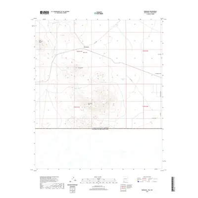 2020 Hermanas2020 Print · USGSThis Luna County borderland at the start of the 2020s shows a high-desert landscape defined by the international boundary. Researchers can trace land use through features like Hermanas, the Carrizalillo Hills, and numerous stock tanks such as Thirtythree Tank.
 - 2020 Map of Mesquite Lake, 2020 Print
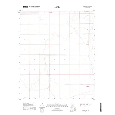 2020 Mesquite Lake2020 Print · USGSArid Luna County landscape in the early twenty-first century is captured here as a place of remote cattle-ranching infrastructure. Researchers can trace the placement of vital water sources like Mesquite Lake, White Lakes Tank, and Perry Tank.
 - 2020 Map of Malpais Hill, 2020 Print
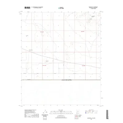 2020 Malpais Hill2020 Print · USGSSouthern Luna County meets the Mexico border in this recent survey of the Chihuahuan Desert south of Mimbres. Researchers can trace the desert ranching landscape through isolated water sources like Hoppy Tank and the volcanic terrain of Malpais Hill and Black Top.
 - 2020 Map of Coyote Hill, 2020 Print
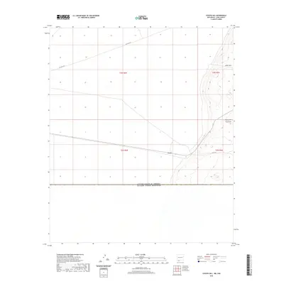 2020 Coyote Hill2020 Print · USGSThe New Mexico borderlands come into focus in this recent survey of the international line in Luna County. Researchers can trace the layout of Arena and the remote tracks of Pol Ranch Rd leading toward the namesake Coyote Hill.
 - 2020 Map of Hermanas NW, 2020 Print
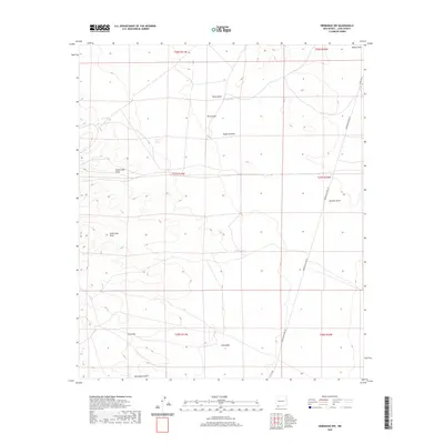 2020 Hermanas NW2020 Print · USGSSouthern Luna County is captured here in the early twenty-first century, showing a landscape defined by desert ranching and seasonal washes. Trace the geography of the Chihuahuan Desert through named features like Suckerville Draw, Hermanas Draw, and Frijole Tank.
 - 2020 Map of Victorio Ranch SE, 2020 Print
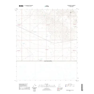 2020 Victorio Ranch SE2020 Print · USGSThe New Mexico borderlands meet the international boundary in this 2020 survey of southern Luna County. Ranchers and land researchers can trace water infrastructure across the arid landscape, from the Cedar Mountain Range to West Tank and Wamels Draw.
 - 2020 Map of Columbus, 2020 Print
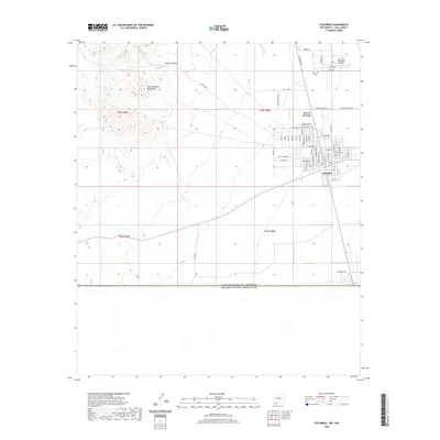 2020 Columbus2020 Print · USGSThe New Mexico borderlands come into focus in this recent survey of the area around the international boundary. Genealogists and historians can trace the streets of Columbus and the neighboring City of the Sun, or locate the First Aero Squadron Airpark.
 - 2020 Map of Flying W Mountain, 2020 Print
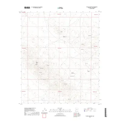 2020 Flying W Mountain2020 Print · USGSSouthern Luna County ranching lands and desert peaks are captured here in the early twenty-first century. Researchers can trace the water-dependent landscape of the high desert through features like Red Tank, Flying W Mtn, and the winding Sacaton Draw.
 - 2020 Map of Hat Top Mountain, 2020 Print
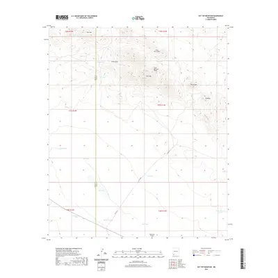 2020 Hat Top Mountain2020 Print · USGSThe high desert border of Grant and Luna Counties comes into focus in this recent survey of the Chihuahuan landscape. Researchers can trace the legacy of cattle ranching and early infrastructure through named landmarks like Railroad Tank, CCC Tank, and Hat Top Mtn.
 - 2020 Map of Bowlin Ranch, 2020 Print
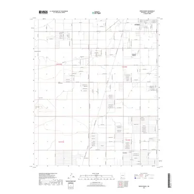 2020 Bowlin Ranch2020 Print · USGSSouthern New Mexico’s high-desert landscape is captured here in the years following the turn of the millennium. Genealogists and local historians can trace the growth of Deming and the settlement of Sunshine, alongside landmarks like Bowlin Ranch and the Snake Hills.
 - 2020 Map of Lazy E Ranch, 2020 Print
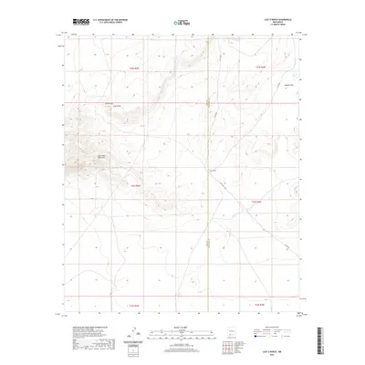 2020 Lazy E Ranch2020 Print · USGSThe high desert borderlands of Doña Ana and Luna counties are captured here in the contemporary era. Researchers can trace the remote ranching infrastructure of the Good Sight Mountains, from the namesake Lazy E Ranch to water sources like Apache Tank.
 - 2020 Map of Akela, 2020 Print
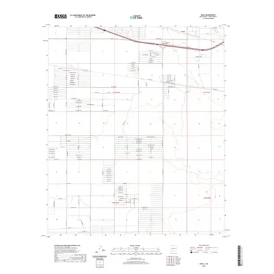 2020 Akela2020 Print · USGSAkela and the high desert plains of Luna County are captured here in a period of modern residential platting and infrastructure growth. Researchers can trace the development of local neighborhoods through family and flora-named routes like Happiness Ave SE and Prickly Pear Rd.
 - 2020 Map of Cambray, 2020 Print
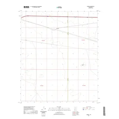 2020 Cambray2020 Print · USGSThe high-desert terrain near the border of Luna and Doña Ana counties is captured in this recent survey. Local historians and land researchers can trace the roads around Cambray and identify landmarks like Providence Cone or the course of Pipeline Rd.
 - 2020 Map of Midway Butte, 2020 Print
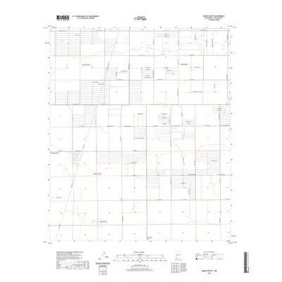 2020 Midway Butte2020 Print · USGSSouthern New Mexico’s high-desert plains appear here in a systematic grid of rural roads and land tracts during the early twenty-first century. Researchers can trace the layout of contemporary desert life through named locales like Luna Landing and natural features like Midway Butte.
 - 2020 Map of Bisbee Hills, 2020 Print
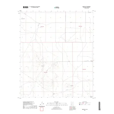 2020 Bisbee Hills2020 Print · USGSIn the high desert of Luna County during the early twenty-first century, the landscape is defined by its isolated heights and dry arroyos. Genealogists and historians can locate the Carroll Cem near Seventysix Draw and trace the paths of Gap Draw through the Bisbee Hills.
 - 2020 Map of Deming East, 2020 Print
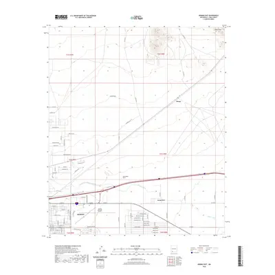 2020 Deming East2020 Print · USGSDeming and the surrounding high desert terrain are documented here in the early twenty-first century as the community expanded eastward. Researchers can trace local landmarks like Mountain View Cem, the Mimbres River, and the settlement at Mirage.
 - 2020 Map of South Peak, 2020 Print
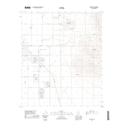 2020 South Peak2020 Print · USGSNew Mexico's high desert meets planned development in this 2020 map of the area surrounding the Florida Mountains. Genealogists and researchers can trace the emerging residential grids along Columbus Rd and the family names of Mahoney Park and White Hills.
 - 2020 Map of Dwyer SE, 2020 Print
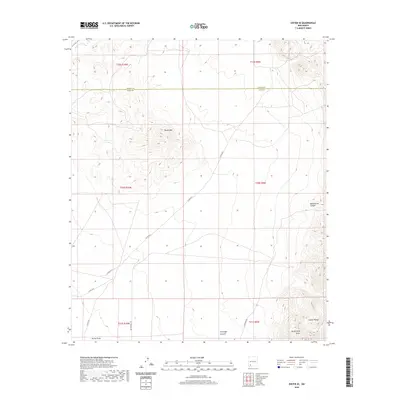 2020 Dwyer SE2020 Print · USGSGrant and Luna counties meet in this high-desert landscape during the early twenty-first century. Researchers can trace the path of the historic Butterfield Trl as it winds past Round Mtn and the eastern slopes of the Cookes Range.
 - 2020 Map of Florida, 2020 Print
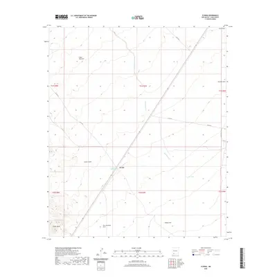 2020 Florida2020 Print · USGSIn the high desert of Luna County, this modern survey captures a landscape defined by seasonal water and pioneer-era transit. Genealogists and historians can trace the paths through Cookes Canyon, the location of the Cooks Spring Historic Site, and the small settlement at Florida.
 - 2020 Map of OK Canyon, 2020 Print
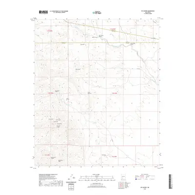 2020 OK Canyon2020 Print · USGSThe high desert of Grant and Luna counties comes alive in this modern survey of the prominent Cookes Range. Local researchers can locate the Cookes Peak Cem and trace seasonal water sources like Mule Springs and Riley Spring through the surrounding canyons.
 - 2020 Map of Good Sight Peak NE, 2020 Print
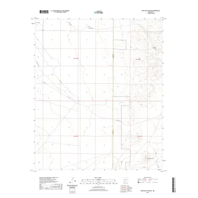 2020 Good Sight Peak NE2020 Print · USGSCrossing the high desert on the Luna and Doña Ana county line, this modern survey illustrates a landscape shaped by ranching and historic transit routes. Trace the path of the Butterfield Trl past landmarks like Massacre Peak and Howard Tank.
 - 2020 Map of Red Mountain, 2020 Print
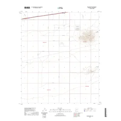 2020 Red Mountain2020 Print · USGSHigh-desert terrain in Luna County is captured here in 2020, centered on the prominent peak of Red Mtn and the settlement of Tunis. Genealogists and locals can trace rural road networks like Sombrero Rd and the southern slopes of the Snake Hills.
Showing maps 1-25 of 112
Top cities of Luna County
Frequently asked questions
- What are the different types of historical maps available for Luna County?
- What is the oldest map of Luna County?
- Where can I purchase historical maps of Luna County for my home or office?
- Where can I download high-res historical maps of Luna County?
- Are there historical topographic maps available for Luna County?
- Is there historical aerial imagery available for Luna County?
- Where are historical maps of Luna County sourced from?