2000s (21st Century) Maps of Luna County, New Mexico
Explore 280 historic maps of Luna County from the 2000s (21st Century). These maps offer a rare glimpse into what life looked like during the 2000s — showing old roads, neighborhoods, homes, and landmarks that have changed or disappeared over time.
Whether you're researching your family's past, planning a metal detecting trip, or studying how Luna County's landscape evolved across the 2000s, these high-resolution maps are a powerful tool for exploring the history of this region.
- Focus on a specific era: All maps on this page are from the 2000s, giving you a focused view of this time period.
- See what’s changed: Compare century-old streets, trails, and buildings to today's modern landscape using overlays and satellite layers.
- Research with precision: Use these maps for genealogy, historical research, land use analysis, or educational projects.
- View, download, or print: Maps are fully viewable online in high resolution, and can be downloaded or printed for your own records.
Start exploring Luna County's history through authentic maps from the 2000s. This is your window into the past.
Luna County, NM maps
(280)- 2010 Map of Sibley Hole, 2010 Print
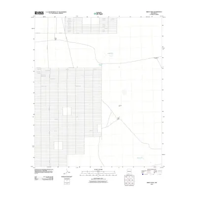 2010 Sibley Hole2010 Print · USGSNew Mexico's high desert reveals its ranching and mining infrastructure in this early 21st-century survey of Luna County. Researchers can locate remote landmarks such as White House Ranch, the Wet King Mine, and water sources like Sibley Hole.
 - 2010 Map of Malpais Hill, 2010 Print
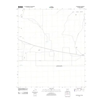 2010 Malpais Hill2010 Print · USGSThe high desert of southern New Mexico meets the Mexican border in the early twenty-first century. Researchers can trace land use through isolated sites like Dogtown Ranch, Edwards Ranch, and the geological heights of the Tres Hermanas Mountains.
 - 2010 Map of Hat Top Mountain, 2010 Print
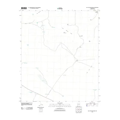 2010 Hat Top Mountain2010 Print · USGSGrant County ranching and mining country is revealed in this early twenty-first-century survey of the high desert. Researchers can trace land use through cattle tanks like Black Tank, the site of Faulkner Ranch, and the remote Lucky Mine.
 - 2010 Map of Goat Ridge, 2010 Print
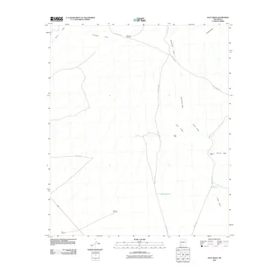 2010 Goat Ridge2010 Print · USGSThe historical Butterfield Overland Mail route traverses this Luna County landscape during the early twenty-first century. Researchers can trace the path of the Butterfield Trl past isolated water points like Butterfield Windmill and Wilson Reservoir.
 - 2010 Map of Cow Springs Mountain, 2010 Print
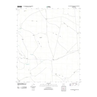 2010 Cow Springs Mountain2010 Print · USGSGrant County ranching country is documented here in the early twenty-first century, centered on the high ground of Cow Springs Mountain. Researchers can trace the path of the legendary Butterfield Trl and locate remote landmarks like Cow Springs Ranch and Trouble Windmill.
 - 2010 Map of North Peak, 2010 Print
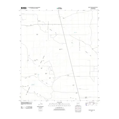 2010 North Peak2010 Print · USGSThe high desert of Luna County is depicted here in the early 21st century, centered on the small settlement of Waterloo. Genealogists and historians can trace ranching and mining history through sites like Lindy Ann Mine, Inmon Ranch, and the Lonesome Cabin.
 - 2010 Map of Gage, 2010 Print
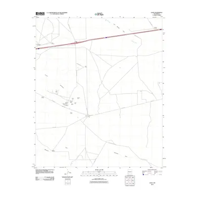 2010 Gage2010 Print · USGSLuna County ranching and mining history come to life on this map of the Victorio Mountains during the early twenty-first century. Researchers can trace deep-rooted family landmarks like Earp Ranch and numerous prospect sites such as the Parole Mine or Irish Rose.
 - 2010 Map of Nutt, 2010 Print
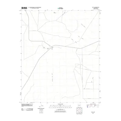 2010 Nutt2010 Print · USGSNutt and the surrounding Luna County ranch lands are captured here in the early twenty-first century. Researchers can trace local landmarks like Winden Ranch, the Nutt Post Office, and the prominent peaks of the Good Sight Mountains.
 - 2010 Map of OK Canyon, 2010 Print
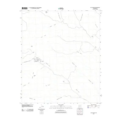 2010 OK Canyon2010 Print · USGSMining and ranching history converge in the desert of Grant County during the early twenty-first century. Genealogists and historians can trace old mining claims like the Gladys Mine and Graphic Mine, or locate the historic Cooks Peak Cemetery.
 - 2010 Map of Gage SE, 2010 Print
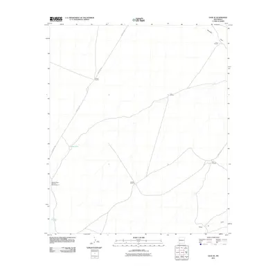 2010 Gage SE2010 Print · USGSThis part of the New Mexico desert was documented in the early twenty-first century, revealing a landscape shaped by water management and ranching. Genealogists and historians can trace essential watering points like Klondike Windmill, Lookout Tank, and Palomas Draw Retention Dam Number 7.
 - 2010 Map of Gage NW, 2010 Print
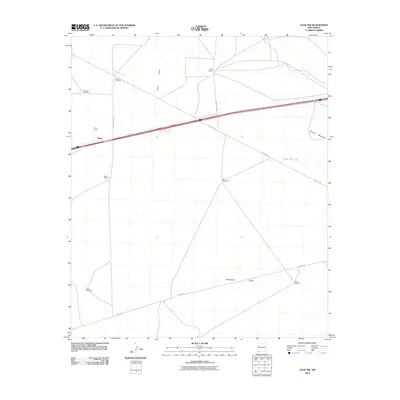 2010 Gage NW2010 Print · USGSGrant County's high desert ranching country is captured here during the first decade of the new millennium. Modern researchers can trace water sources and homesteads like Wilna, Parker Ranch, and Briar Hill Tank across this arid landscape.
 - 2010 Map of Antelope Hill, 2010 Print
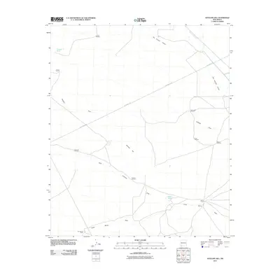 2010 Antelope Hill2010 Print · USGSNew Mexico's high desert reveals its ranching roots and historic trails in this 2010 study of Luna County. Genealogists and historians can trace the Butterfield Trl past family-named sites like Jones Spring Ranch and Homestead Windmill.
 - 2010 Map of Victorio Ranch SE, 2010 Print
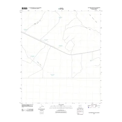 2010 Victorio Ranch SE2010 Print · USGSSouthern New Mexico ranch land in the early twenty-first century is defined here by its critical water infrastructure and desert drainages. Researchers can trace the layout of high-desert water management through Tank Number 8 North, the Northeast Windmill, and the path of Baker Draw.
 - 2010 Map of Mesquite Lake, 2010 Print
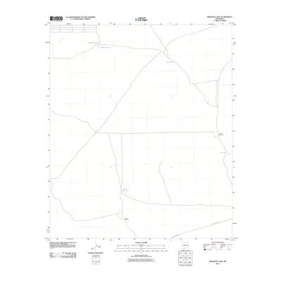 2010 Mesquite Lake2010 Print · USGSSouthern New Mexico ranching land is documented in the early twenty-first century, showing the critical water infrastructure of the high desert. Researchers can trace the placement of vital resources like Triangle Windmill, Mesquite Lake, and White Lakes Tank.
 - 2010 Map of Good Sight Peak, 2010 Print
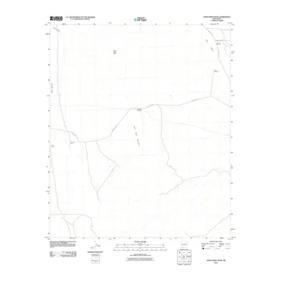 2010 Good Sight Peak2010 Print · USGSLuna County ranching country appears in the early twenty-first century, showing the remote high-desert terrain of the Good Sight Mountains. Genealogists and land researchers can locate Brownfield Ranch and Nunn Ranch, along with several historic water points like Butterfield Windmill.
 - 2010 Map of Grandmother Mountain West, 2010 Print
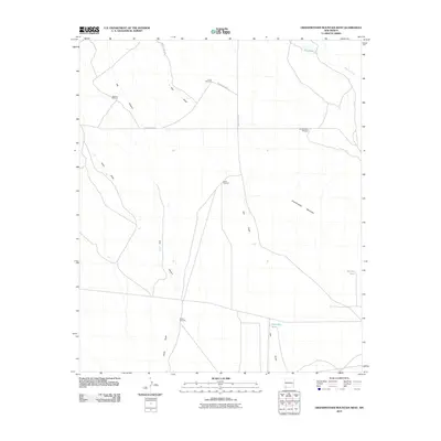 2010 Grandmother Mountain West2010 Print · USGSGrant County is captured in this early 21st-century survey, revealing a landscape shaped by historic western routes and arid-land ranching. Trace the path of the Butterfield Trl past isolated landmarks like Mission Windmill and Grandmother Mountain.
 - 2010 Map of Hermanas, 2010 Print
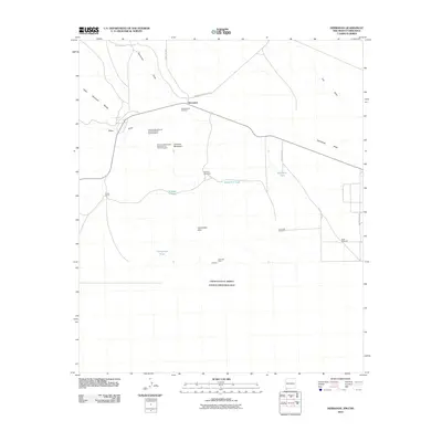 2010 Hermanas2010 Print · USGSThe high desert of Luna County meets the international border in this 2010 survey of the Hermanas region. Genealogists and historians can trace old ranching landmarks like the Schoolhouse Windmill and mineral prospects near the Calumet Mine.
 - 2010 Map of Flying W Mountain, 2010 Print
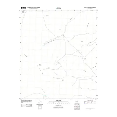 2010 Flying W Mountain2010 Print · USGSThe high desert of Luna County appears here in the early 2000s, centered on the ranching operations and drainage basins of the southern rangelands. Researchers can trace the water infrastructure and peaks of the Cedar Mountain Range, from the Flying W Ranch to Valiente Peak.
 - 2010 Map of Columbus, 2010 Print
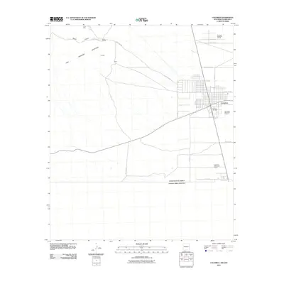 2010 Columbus2010 Print · USGSThe borderlands of southern New Mexico are captured here in the early twenty-first century, centering on the historic town of Columbus. Historians can trace aviation and infrastructure through the First Aero Squadron Airpark, Columbus Post Office, and Canon Mine.
 - 2010 Map of Columbus SE, 2010 Print
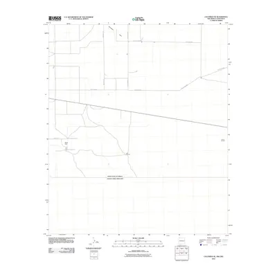 2010 Columbus SE2010 Print · USGSThe international borderlands south of Columbus, New Mexico, are captured here in the early twenty-first century. Researchers can trace rural infrastructure like Stiles Reservoir and family-named landmarks including O'Bryan Windmill.
 - 2010 Map of Grandmother Mountain East, 2010 Print
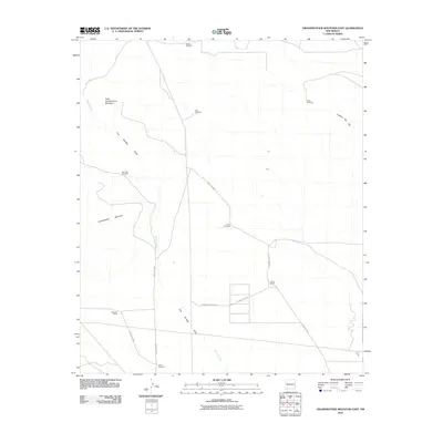 2010 Grandmother Mountain East2010 Print · USGSLuna County ranching country is mapped here during the early twenty-first century, showing the infrastructure of the high-desert plains. Genealogists and historians can locate established holdings like Davis Ranch and water-resource landmarks such as Rimrock Windmill and Dunn Windmill.
 - 2010 Map of Gage SW, 2010 Print
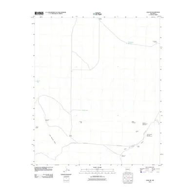 2010 Gage SW2010 Print · USGSGrant County’s arid ranching country is mapped here in the early twenty-first century, showing a landscape defined by water management. You can trace the lineage of local ranching through family-named landmarks like Home Ranch and scattered wells like Hatcher Windmill and Cedar Grove Windmill.
 - 2010 Map of Akela, 2010 Print
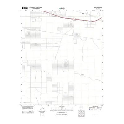 2010 Akela2010 Print · USGSAkela sits along the highway in the high desert of Luna County during the early 21st century. Researchers can trace the development of rural housing grids like Camilon Hu Se and locate desert landmarks like the Matamoros Windmill.
 - 2010 Map of Deming East, 2010 Print
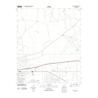 2010 Deming East2010 Print · USGSDeming and the surrounding Mimbres Valley are shown here in the early twenty-first century as the town transitions into the high desert. Researchers can locate the Mountain View Cemetery, trace the path of Starvation Draw, and identify historic ranching hubs like Starkey and Mirage.
 - 2010 Map of Coyote Hill, 2010 Print
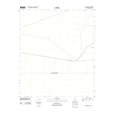 2010 Coyote Hill2010 Print · USGSThe southern New Mexico borderlands near the turn of the decade are defined by high desert solitude and international boundaries. Genealogists and desert historians can trace the remote settlement at Arena or locate the geographic landmark of Coyote Hill near the Mexican border.
Showing maps 1-25 of 280
Top cities of Luna County
Frequently asked questions
- What are the different types of historical maps available for Luna County?
- What is the oldest map of Luna County?
- Where can I purchase historical maps of Luna County for my home or office?
- Where can I download high-res historical maps of Luna County?
- Are there historical topographic maps available for Luna County?
- Is there historical aerial imagery available for Luna County?
- Where are historical maps of Luna County sourced from?